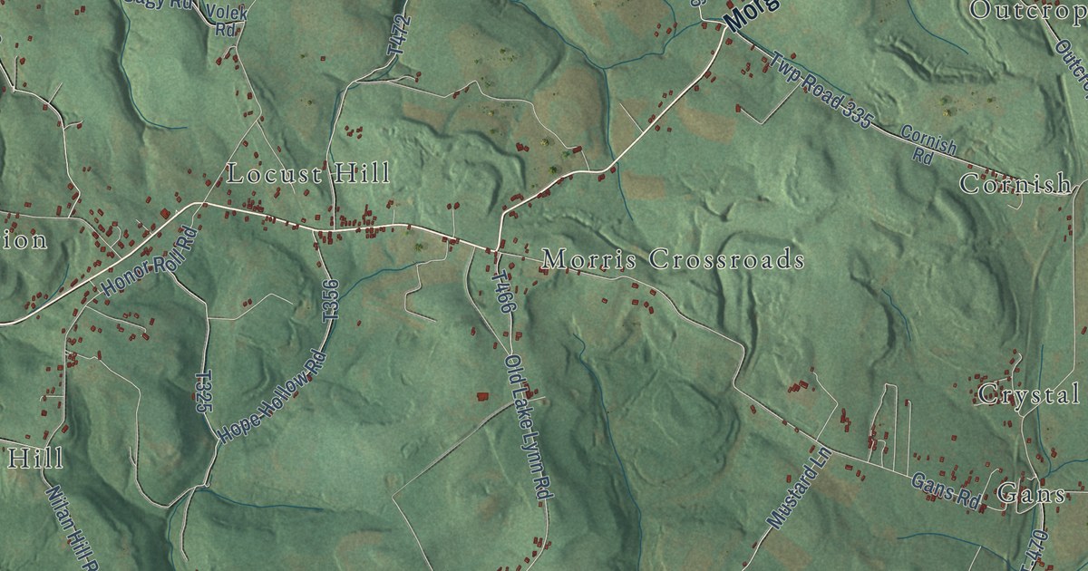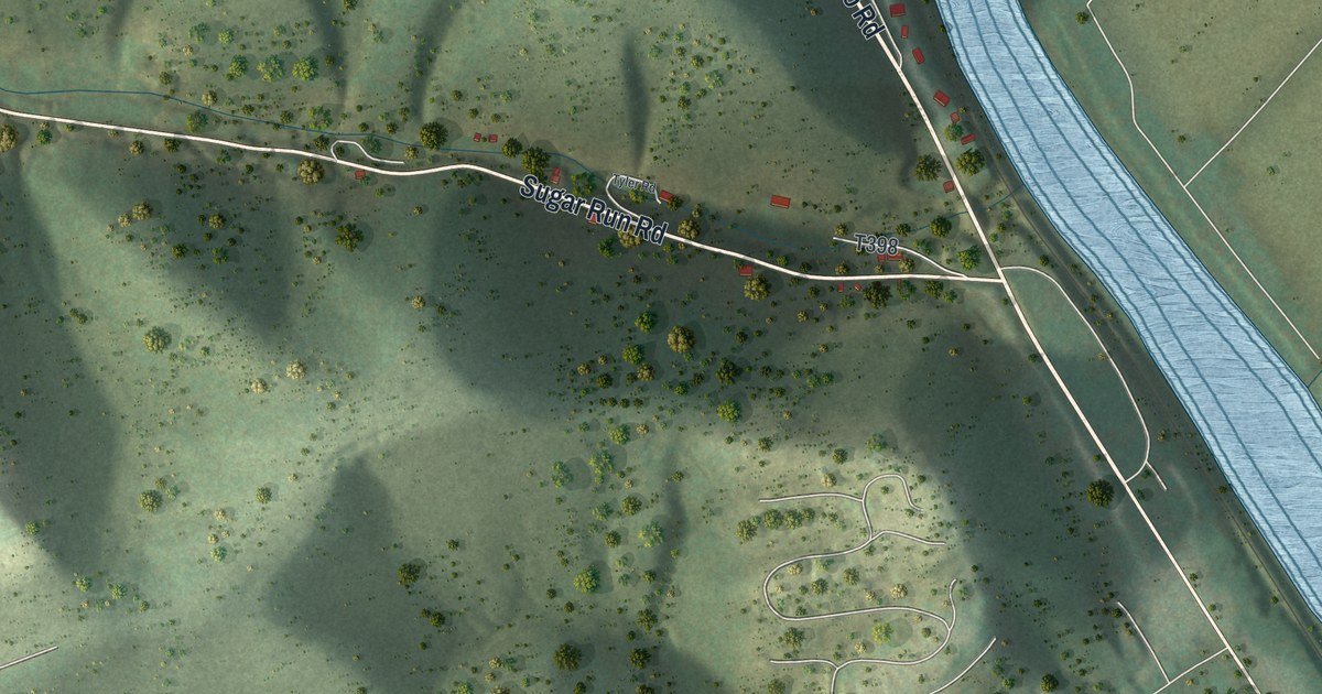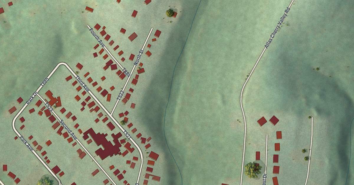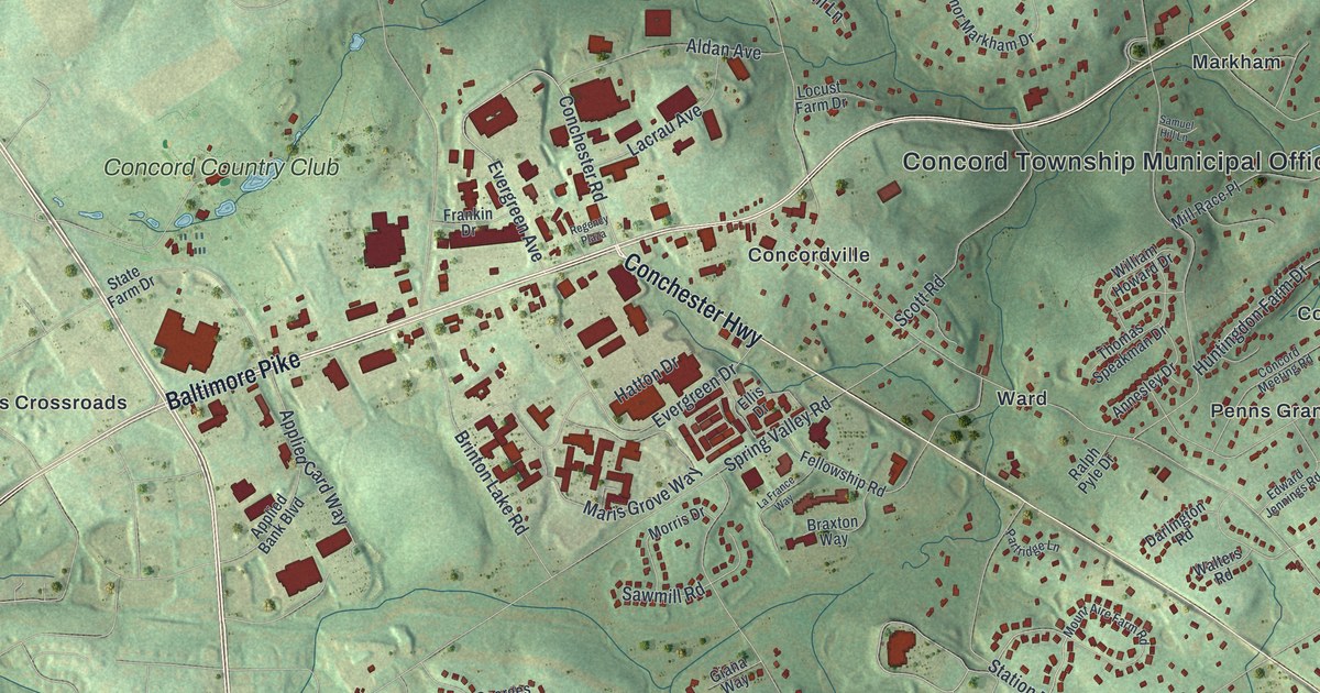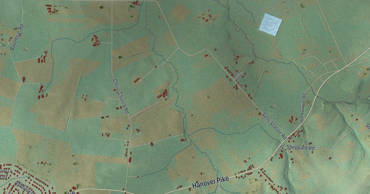
This beautifully detailed map of Union, Adams County, Pennsylvania was created in 2026 using aerial imagery combined with modern topographical, census, street and landmark data. It’s a one-of-a-kind view of Union that combines accurate data with a vintage aesthetic. The map shows every building in its true location, many of the roads carry their names, and the shaded topographic relief shows the shape of the land.
Explore an aerial view of Union, Adams County, Pennsylvania
On the map you’ll find T-457, along with Hanover Pike, Hanover Road, Old Westminster Road, Pinetown Road, Sells Station Road, Littlestown Road, Pine Grove Road, Line Road, Barts Church Road, Bollinger Road, Clouser Road, and more. If you look closely you can even find your house accurately drawn in its correct location. Zoom in on the preview to look for yours.
Did you know this piece of Union, Adams County, Pennsylvania history?
From the 1886 History of Adams County, Pennsylvania: "In 1746, however, young Digges and the Maryland sheriff came to arrest, and did arrest, Matthew Uirich and Adam Forney for trespass; but while en route to Maryland Nicholas Forney and others rescued the prisoners and put the captors to flight."
Take a closer look at the Union, Adams County map
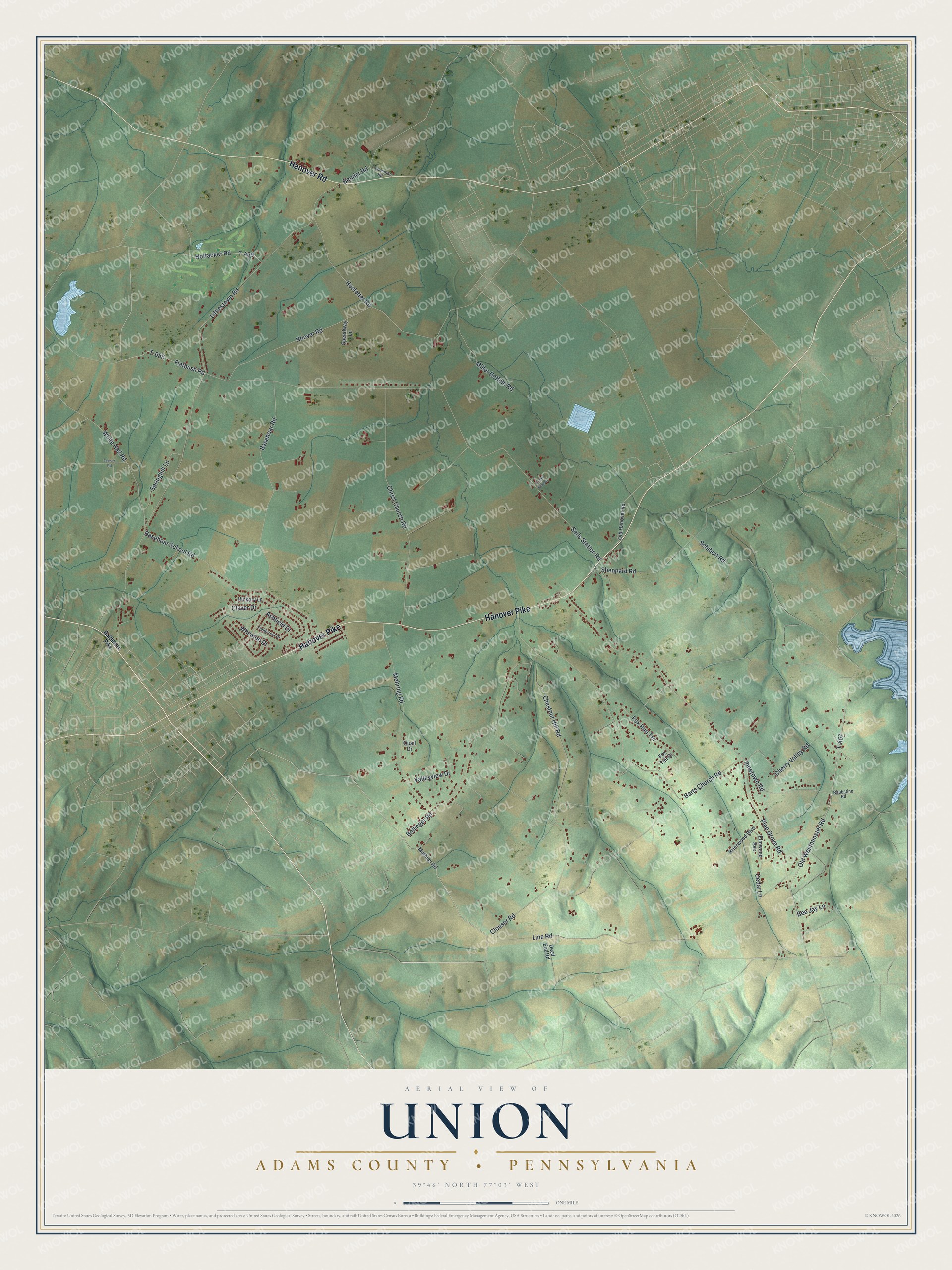
Street names on the Union, Adams County, Pennsylvania map
These names are printed on the map of Union, Adams County, Pennsylvania.
Streets and roads: Hanover Pike, Hanover Road, Old Westminster Road, T-457, Pinetown Road, Sells Station Road, Littlestown Road, Pine Grove Road, Line Road, Barts Church Road, Bollinger Road, Clouser Road.
More street names, A to Z
Ashfield Drive, Baltimore Pike, Basehoar Road, Basehoar School Road, Bee Jay Lane, Bender Road, Brierwood Boulevard, Cedar Lane, Cherry Valley Road, Chestnut Hill Road, Christ Church Road, Clover Drive, Creek View Drive, Dead End Road, Elmwood Avenue, Feeser Road, Fieldcrest Drive, Flatbush Road, Fox Run Terrace, Fox Tail Drive, Geiselman Road, Hickory Lane, Hoffacker Road, Hoover Road, Hostetter Road, Mathias Road, Mehring Road, Miller Bottom Road, Old Hanover Road, Quail Drive, Raubstine Road, Schibert Road, Sheppard Road, Speedway Lane, Springhill Lane, T-439, T-655, Valleyview Drive, Wheaton Drive, White Hall Road.
See the Union, Adams County, Pennsylvania map on a wall
The Union, Adams County map as an 18 x 24 inch print in a black frame.

This beautifully detailed map of Union, Adams County makes an attractive addition to your office, library, or den, and it can even be used to teach children the geography and history of the area. It also makes a great gift for anyone who grew up in Union or moved away. When you’re done exploring, click here to get your copy of the Union, Adams County map.