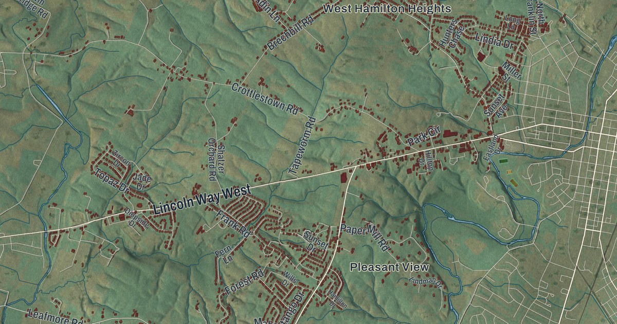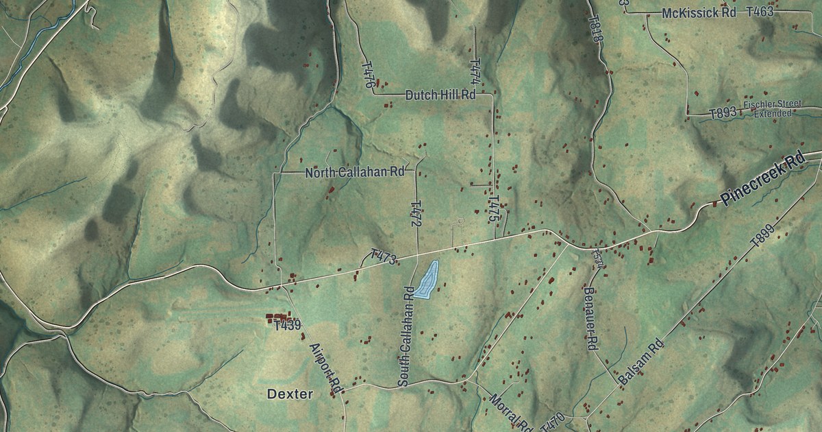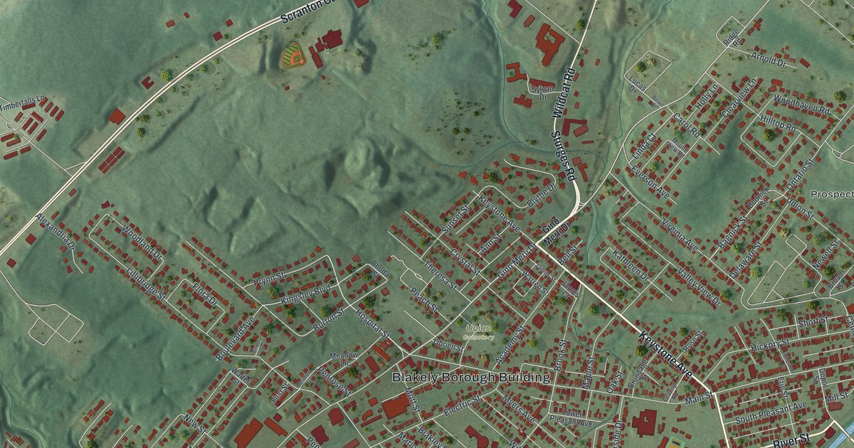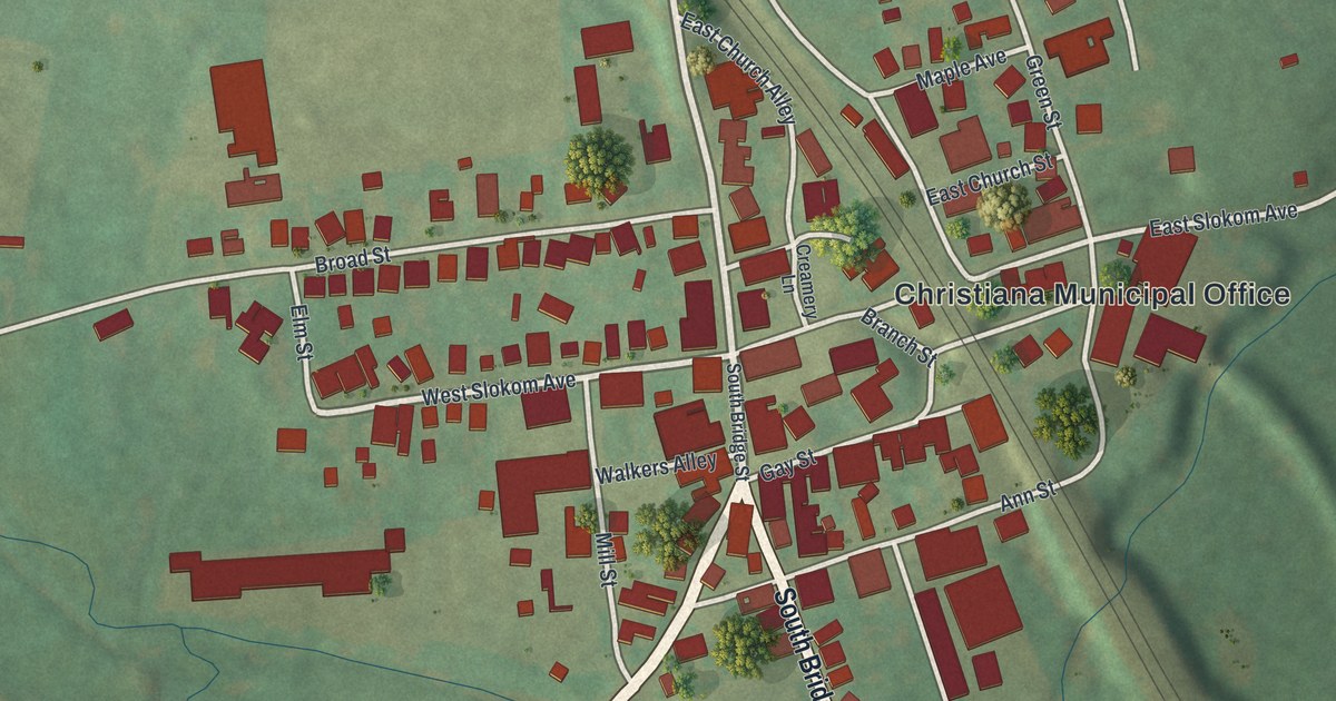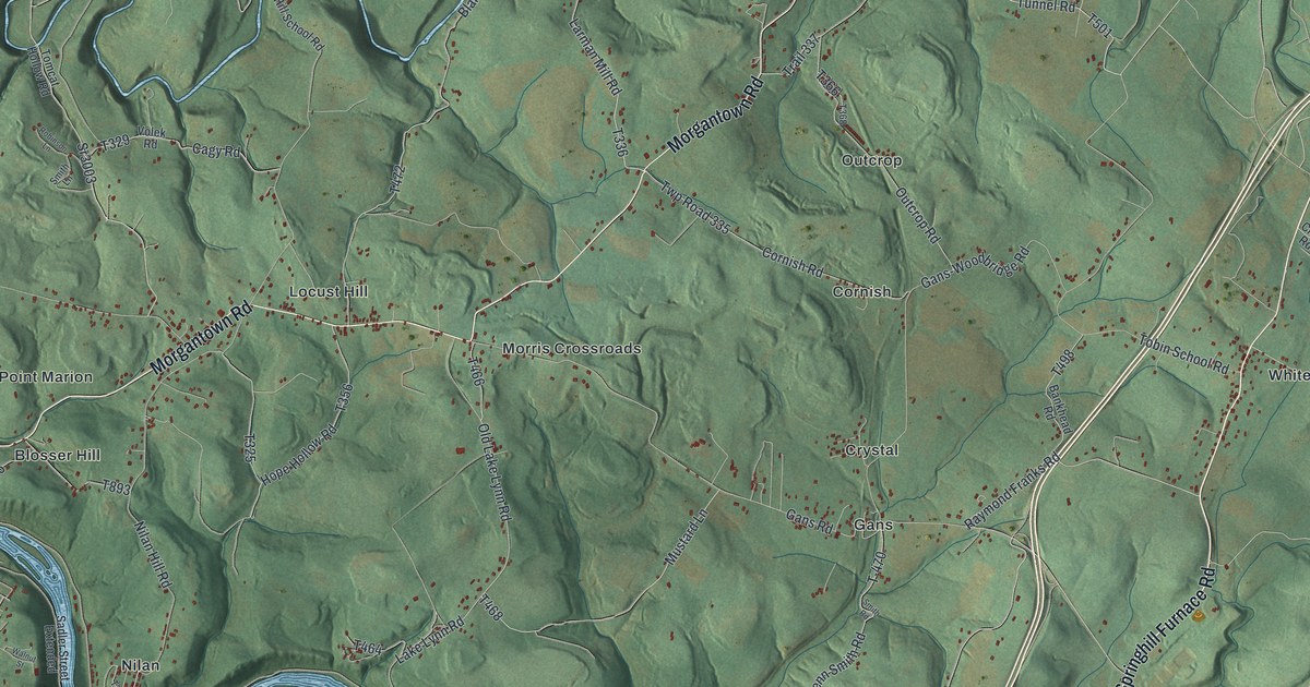
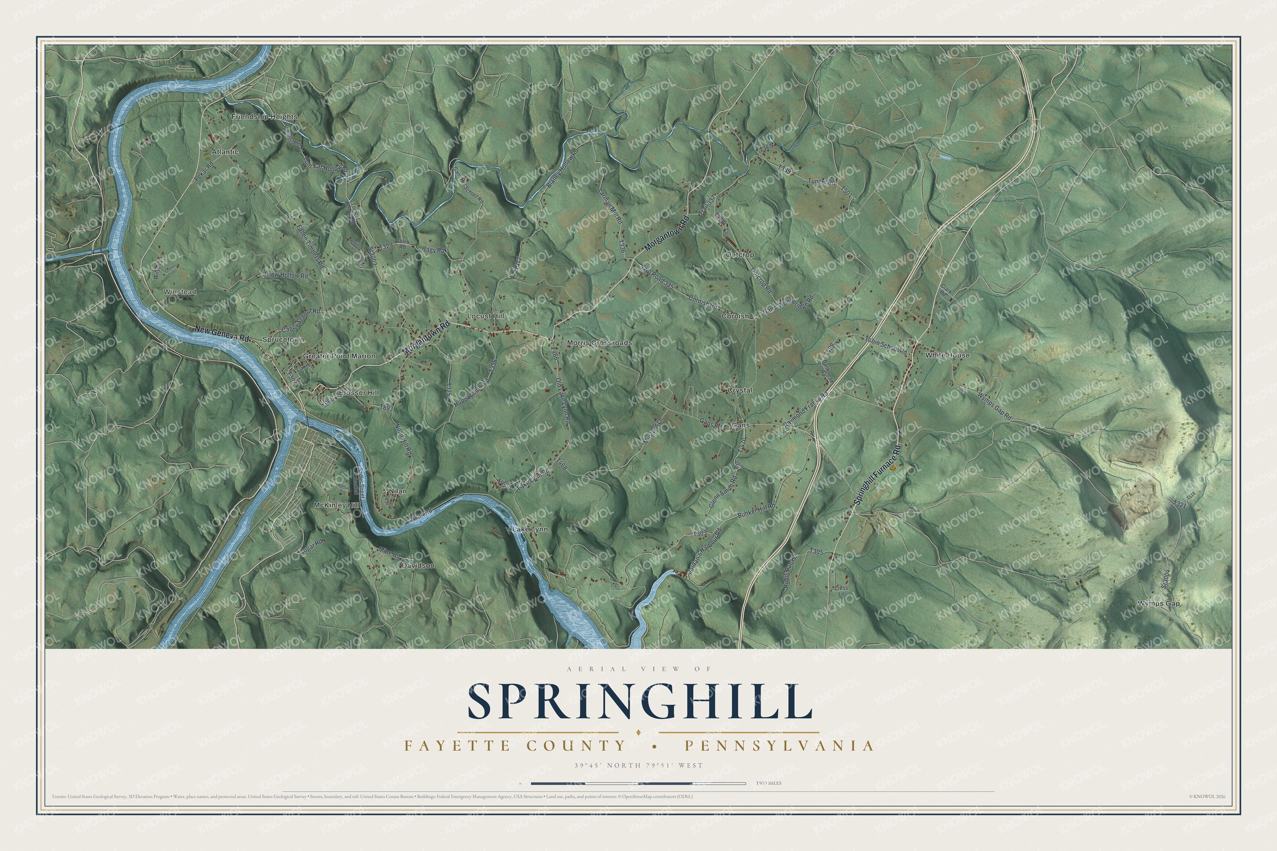
This beautifully detailed map of Springhill, Fayette County, Pennsylvania was created in 2026 using aerial imagery combined with modern topographical, census, street and landmark data. It’s a one-of-a-kind view of Springhill that combines accurate data with a vintage aesthetic. The map shows every building in its true location, many of the roads carry their names, and the shaded topographic relief shows the shape of the land.
Explore an aerial view of Springhill, Fayette County, Pennsylvania
On the map you’ll find Winstead, Atlantic, Blosser Hill, Cornish, Crystal, Davidson, Friendship Heights, Gans, Greater Point Marion, Lake Lynn, Locust Hill, McKinley Hill, and more. If you look closely you can even find your house accurately drawn in its correct location. Zoom in on the preview to look for yours.
Did You Know?
From the History of Fayette County: "Springhill is one of the original townships of Fayette County, having been erected as such by the Court of Quarter Sessions of the county at the first term, held in December, 1783."
Take a closer look at the Springhill, Fayette County map
Names on this map
These names are printed on this map.
Places: Winstead, Atlantic, Blosser Hill, Cornish, Crystal, Davidson, Friendship Heights, Gans, Greater Point Marion, Lake Lynn, Locust Hill, McKinley Hill, Morris Crossroads, Nilan, Outcrop, Sprucetown, White House and Wymps Gap.
Streets and roads: Springhill Furnace Road, Morgantown Road, New Geneva Road, Wymps Gap Road, Sr3004, Lake Lynn Road, Old Lake Lynn Road, Larman Mill Road, Bunker Hill Road, Tunnel Road, Gans Road, Hope Hollow Road.
More street names, A to Z
Bankhead Road, Blaney Hollow Road, Cagey School Road, Cagy Road, Clark Road, Clark Street, Cogar Road, Cornish Road, Cramer Lane, Cress Lane, Crow Hollow Road, Fallen Timbers Road, Friendship Hill Road, Gans-Woodbridge Road, Gans Hill School Road, Glenn Smith Road, Jordan's Harbour Road, Mine Road, Mustard Lane, Nilan Hill Road, Nilan Road, Outcrop Road, Pekar Road, Raymond Franks Road, Robinson Lane, Ruble Run Road, Sadler Street Extended, Smith Lane, Smith Road, Sr3003, T-470, Tobin School Road, Tom Cat Hollow Road, Tomcat Hollow Road, Trail 337, Twp Road 335, Volek Road, Walnut Street, Wilson Lane.
See it on a wall
The Springhill, Fayette County map as a framed print. Swipe for more.


This beautifully detailed map of Springhill, Fayette County makes an attractive addition to your office, library, or den, and it can even be used to teach children the geography and history of the area. It also makes a great gift for someone who left Springhill and still calls it home. When you’re done exploring, click here to get your copy of the Springhill, Fayette County map.