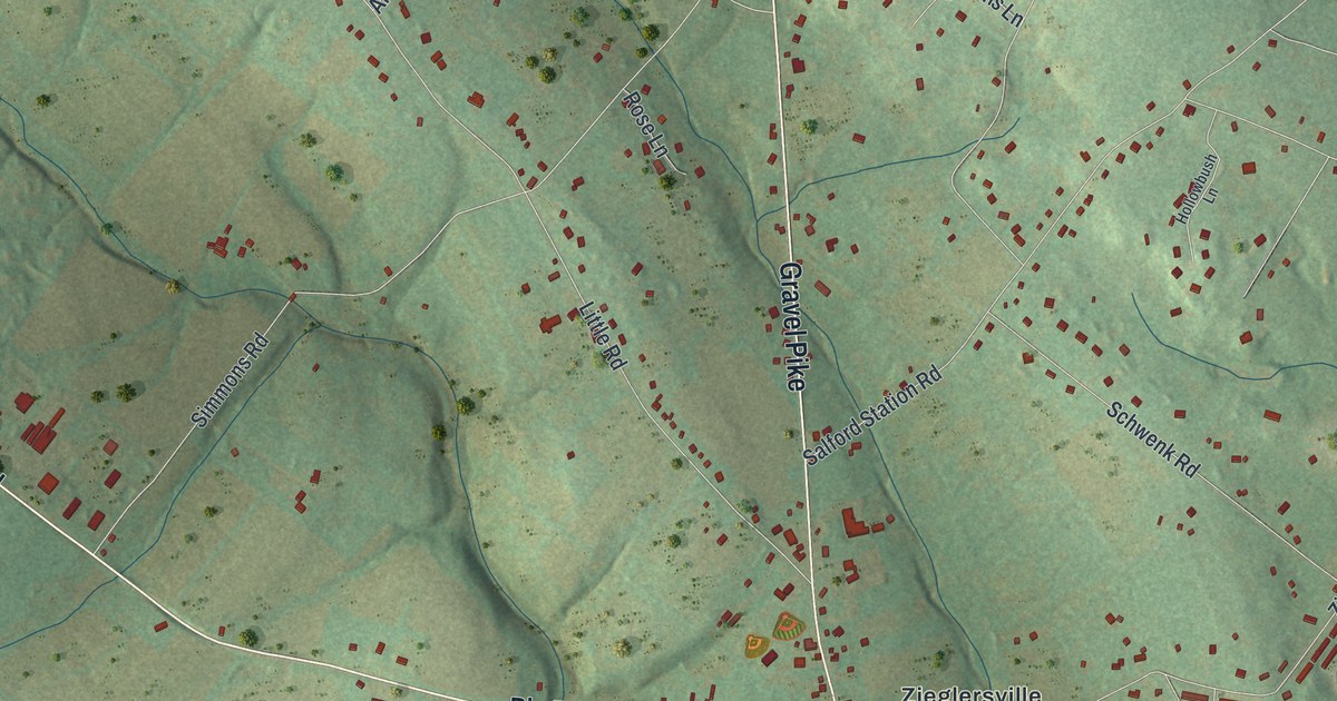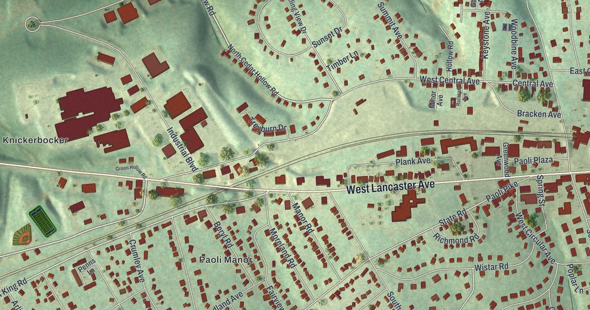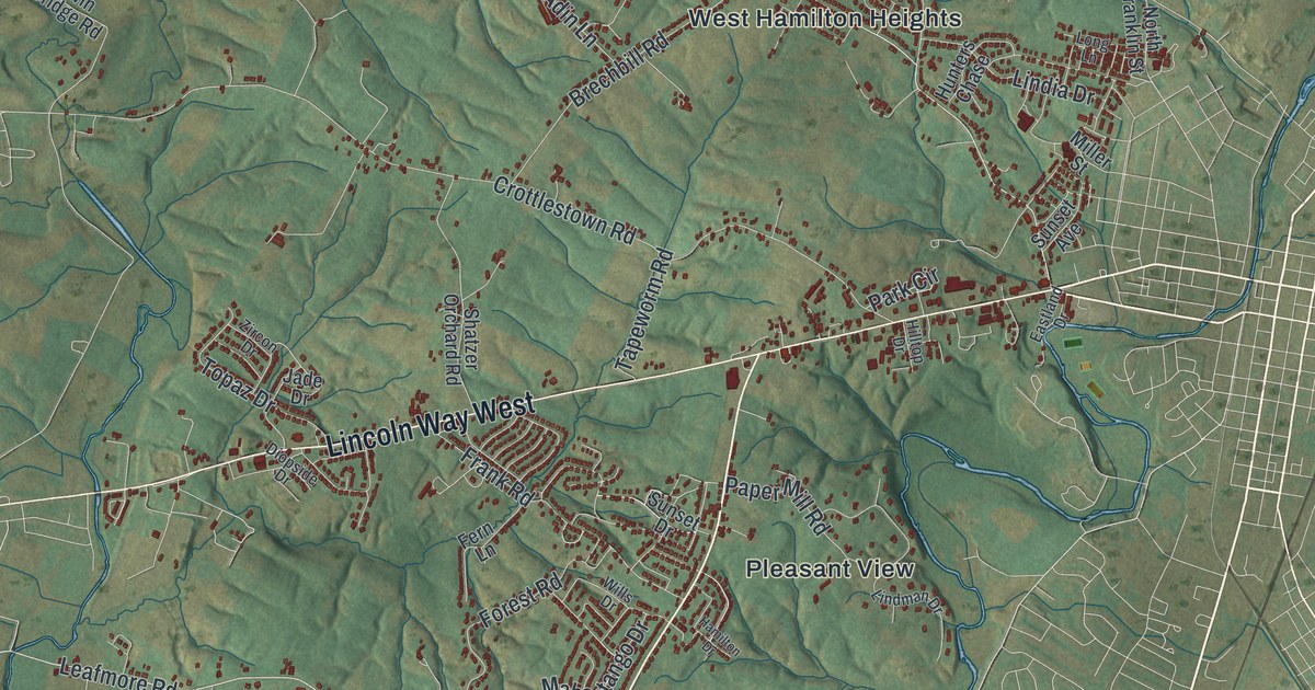
This beautifully detailed map of Hamilton, Franklin County, Pennsylvania was created in 2026 using aerial imagery combined with modern topographical, census, street and landmark data. It’s a one-of-a-kind view of Hamilton that combines accurate data with a vintage aesthetic. The map shows every building in its true location, many of the roads carry their names, and the shaded topographic relief shows the shape of the land.
Explore an aerial view of Hamilton, Franklin County, Pennsylvania
On the map you’ll find Sandy Hook, Buchanan State Forest, Cashtown, Cheesetown, Hamilton Heights, Housum, Kensington Heights, Pleasant View, Social Island, Turkeyfoot, and West Hamilton Heights, along with Warm Spring Road, and more. If you look closely you can even find your house accurately drawn in its correct location. Zoom in on the preview to look for yours.
Take a closer look at the Hamilton, Franklin County map
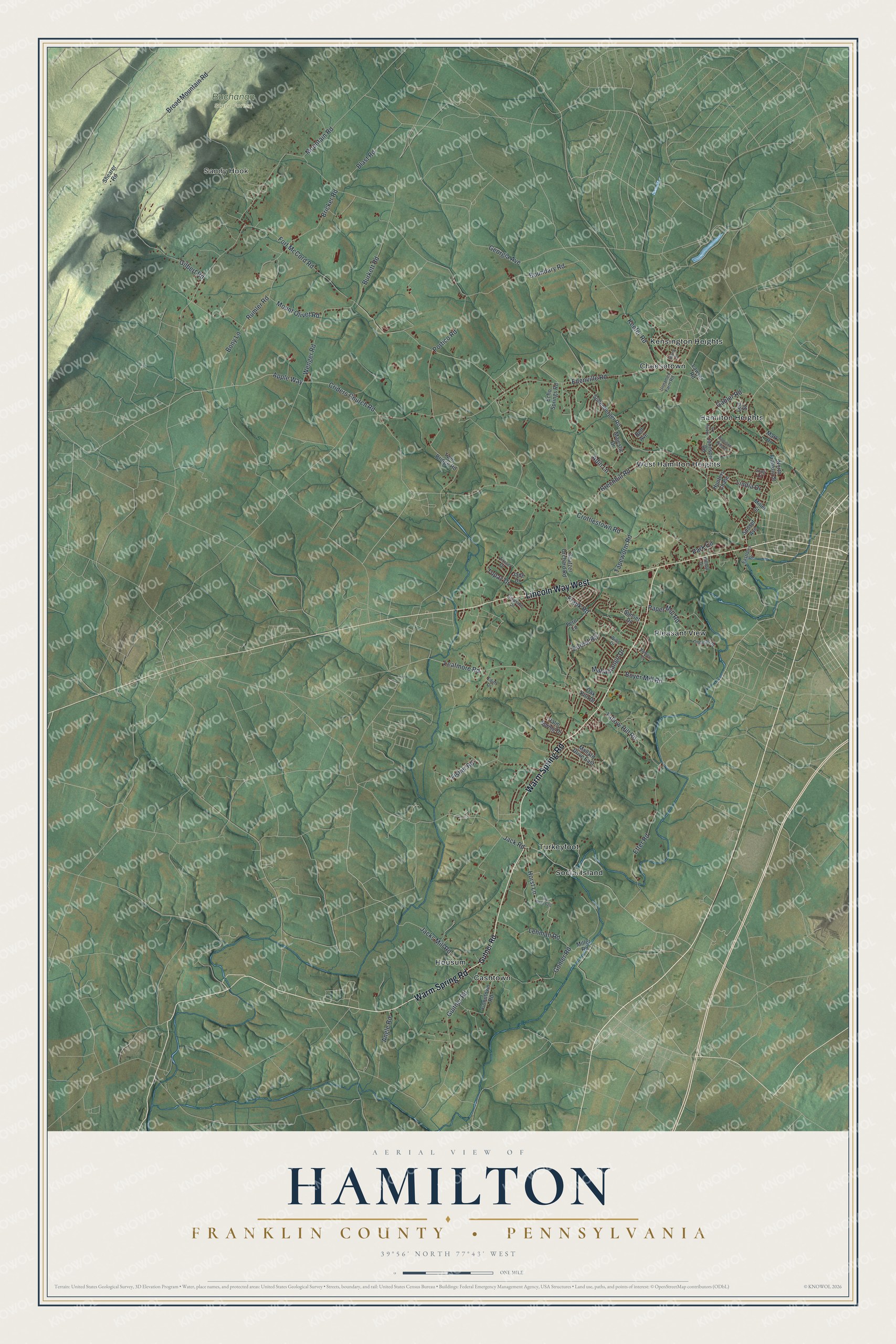
Street and place names on the Hamilton, Franklin County, Pennsylvania map
These names are printed on the map of Hamilton, Franklin County, Pennsylvania.
Places: Sandy Hook, Buchanan State Forest, Cashtown, Cheesetown, Hamilton Heights, Housum, Kensington Heights, Pleasant View, Social Island, Turkeyfoot and West Hamilton Heights.
Streets and roads: Warm Spring Road, Lincoln Way West, Leafmore Road, Jacks Mill Road, Criders Church Road, Rumler Road, Edenville Road, Fort McCord Road, Boundary Road, Crottlestown Road, Gilbert Road, Georgia Avenue.
More street names, A to Z
Adin Lane, Angle Road, Apple Way, Bell Avenue, Blast Road, Bony Lane, Boyer Mill Road, Brechbill Road, Bricker Road, Broad Mountain Road, Burkett Road, Coontown Road, Diopside Drive, Eastland Drive, Echo Springs Road, Edith Drive, Etter Road, Fern Lane, Fisher Road, Forest Road, Frank Road, Gabler Road, Gomer Road, Guitner Road, Gutner Road, Hamilton Drive, Hamilton Hills Drive, Hilltop Drive, Holly Lane, Horst Lane, Hunters Chase, Jack Road, Jade Drive, Johnson Road, Keefer Road, Lawyer Road, Lee Street, Lehman Road, Lindia Drive, Lindman Drive, Long Lane, Mahantango Drive, Majestic Drive, Mallard Drive East, Mark Drive, Miller Road, Miller Street, Mountain Road, Mount Olivet Road, North Franklin Street, Oak Kiln Drive, Palm Spring Drive, Paper Mill Road, Park Circle, Portico Road, Shatzer Orchard Road, Shearer Road, Sollenberger Road, Sunset Avenue, Sunset Drive, Surrey Drive, Tallow Hill Road, Tapeworm Road, Topaz Drive, Twin Bridge Road, Twp Road 620, Unnamed Farm Road, Wenger Road, Wills Drive, Zircon Drive.
See the Hamilton, Franklin County, Pennsylvania map on a wall
The Hamilton, Franklin County map as an 18 x 24 inch print in a black frame.

This beautifully detailed map of Hamilton, Franklin County makes an attractive addition to your office, library, or den, and it can even be used to teach children the geography and history of the area. It also makes a great gift for someone who left Hamilton and still calls it home. When you’re done exploring, click here to get your copy of the Hamilton, Franklin County map.