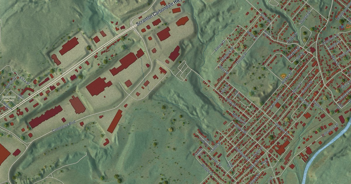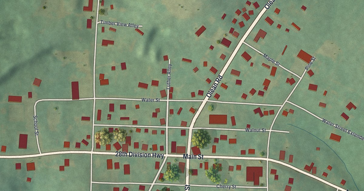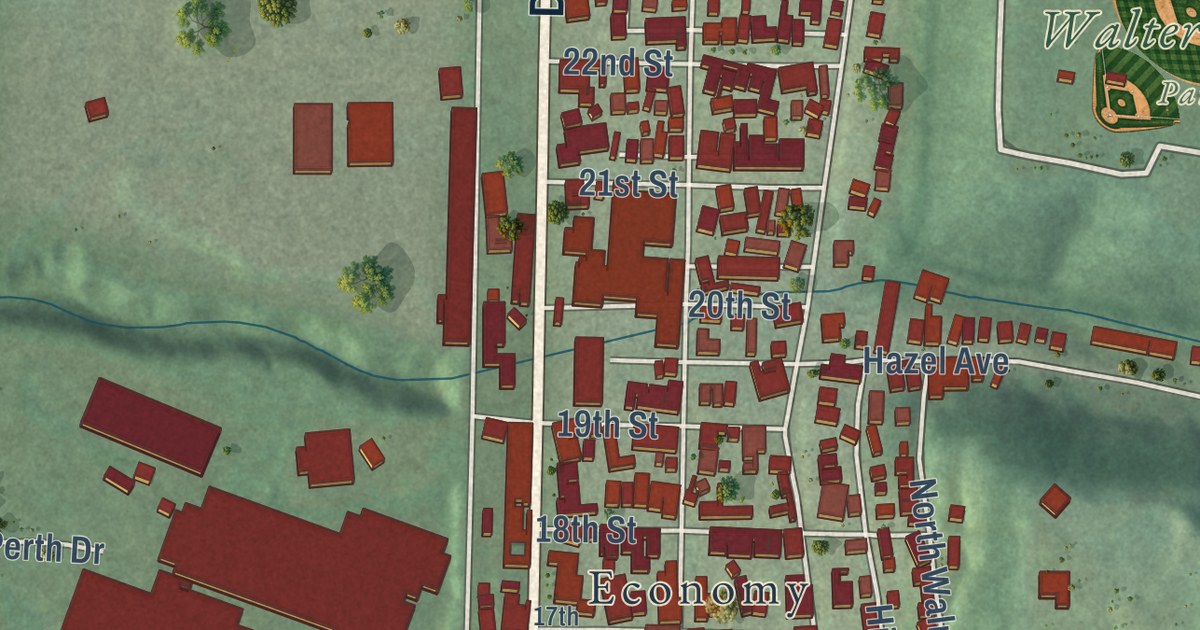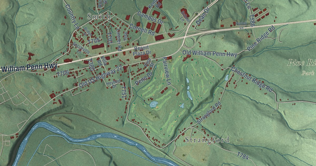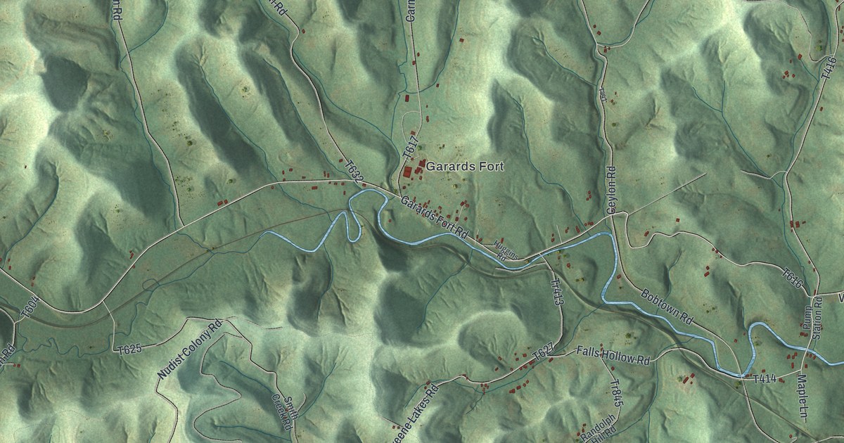
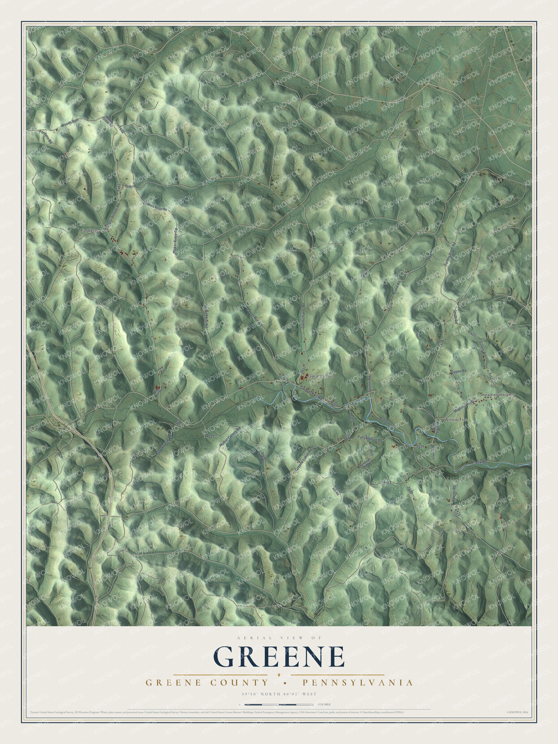
This beautifully detailed map of Greene, Greene County, Pennsylvania was created in 2026 using aerial imagery combined with modern topographical, census, street and landmark data. It’s a one-of-a-kind view of Greene that combines accurate data with a vintage aesthetic. The map shows every building in its true location, many of the roads carry their names, and the shaded topographic relief shows the shape of the land.
Explore an aerial view of Greene, Greene County, Pennsylvania
On the map you’ll find Fordyce, Headlee Heights, Willow Tree, Garards Fort, and Woods Run, along with Falls Hollow Road, Fordyce Road, Garards Fort Road, and more. If you look closely you can even find your house accurately drawn in its correct location. Zoom in on the preview to look for yours.
Did you know this piece of Greene, Greene County, Pennsylvania history?
On Sunday morning, May 10, 1782, the Rev. John Corbly’s family was walking to worship near Garards Fort. Corbly had turned back for his Bible. A party of Native Americans attacked, killing his wife and three children. Men rode out from the fort when they heard the screams.
Take a closer look at the Greene, Greene County map
Street and place names on the Greene, Greene County, Pennsylvania map
These names are printed on the map of Greene, Greene County, Pennsylvania.
Places: Fordyce, Headlee Heights, Willow Tree and Garards Fort.
Streets and roads: Falls Hollow Road, Fordyce Road, Garards Fort Road, Woods Run, Fordyce School Road, Tr421, Mapletown Road, Ceylon Road, Roberts Run Road, Tr845, Nudist Colony Road, Turkey Knob Road.
More street names, A to Z
Blaker Ridge Road, Blakers Ridge Road, Bobtown Road, Brand Road, Bunner Hill Road, Carmichaels Road, Colvin Road, Creek Road, Gapen Road, Greene Lakes Road, Huggins Road, Keener Road, Kirby Fort Road, Laurel Run Road, Lois Lane, Maple Lane, Muddy Creek Road, Pump Station Road, Randolph Hill Road, Smith Creek Road, Smith Road, Tr413, Tr422, Woods Run Road.
See the Greene, Greene County, Pennsylvania map on a wall
The Greene, Greene County map as an 18 x 24 inch print in a black frame.

This beautifully detailed map of Greene, Greene County makes an attractive addition to your office, library, or den, and it can even be used to teach children the geography and history of the area. It also makes a great gift for anyone with Greene roots. When you’re done exploring, click here to get your copy of the Greene, Greene County map.