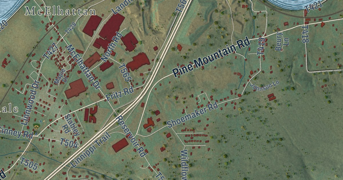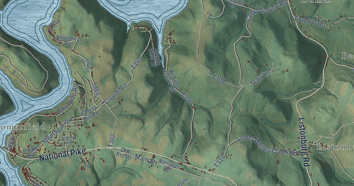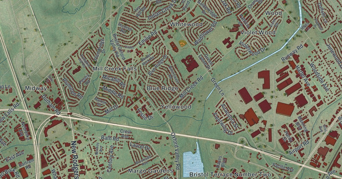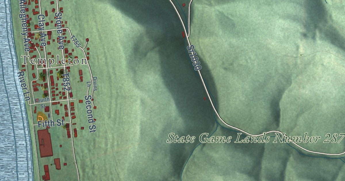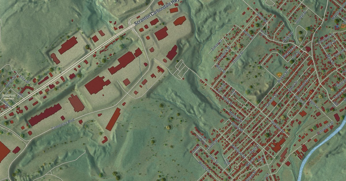
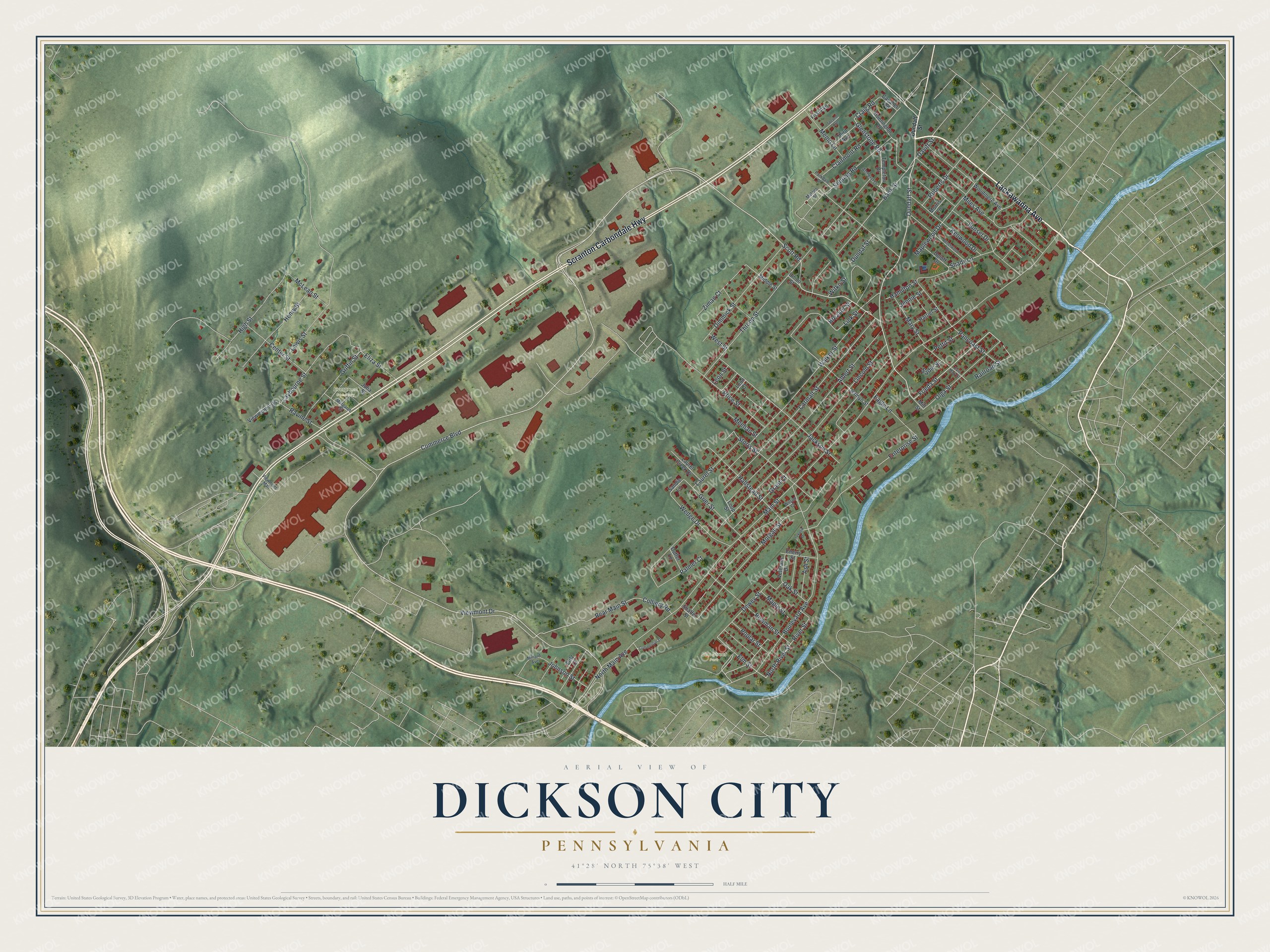
This beautifully detailed map of Dickson City, Pennsylvania was created in 2026 using aerial imagery combined with modern topographical, census, street and landmark data. It’s a one-of-a-kind view of Dickson City that combines accurate data with a vintage aesthetic. The map shows every building in its true location, many of the roads carry their names, and the shaded topographic relief shows the shape of the land.
Explore an aerial view of Dickson City, Pennsylvania
On the map you’ll find Elm Street Park and Evergreen Cemetery, along with Lackawanna Avenue, Scranton Carbondale Highway, Dundaff Street, Frieda Street, Commerce Boulevard, Scott Road, Viewmont Drive, North River Street, Elm Street, Enterprise Street, and more. If you look closely you can even find your house accurately drawn in its correct location. Zoom in on the preview to look for yours.
Did you know this piece of Dickson City, Pennsylvania history?
Dickson City was organized as a borough in 1875 and named for Thomas Dickson. He founded the Dickson Manufacturing Company and was president of the D. & H. Railroad from 1869 to 1884. The borough was first called simply Dickson. Postal officials added City to set it apart from other post offices with the same name. That’s from Thomas F. Murphy’s 1928 Jubilee History Commemorative of the Fiftieth Anniversary of the Creation of Lackawanna County, Pennsylvania.
Take a closer look at the Dickson City map
Street and place names on the Dickson City, Pennsylvania map
These names are printed on the map of Dickson City, Pennsylvania.
Places: Elm Street Park and Evergreen Cemetery.
Streets and roads: Lackawanna Avenue, Scranton Carbondale Highway, Dundaff Street, Frieda Street, Commerce Boulevard, Scott Road, Viewmont Drive, North River Street, Elm Street, Enterprise Street, Glenstone Road, Dewey Street.
More street names, A to Z
Albert Street, Amherst Drive, Ash Street, Bank Street, Beechwood Drive, Boulevard Avenue, Bowman Street, Breaker Street, Carmalt Street, Cavalier Road, Center Street, Cherry Street, Clairmont Road, Colliery Road, Commercial Street, Craig Road, Davitt Street, Dimmick Street, Doloff Drive, Duffer Lane, Dundaf Street, Eagle Lane, East Mary Street, Eliza Street, First Avenue, Fritz Court, Grant Court, Grier Street, Griffin Street, Hallstead Street, Hamilton Street, Harriet Street, Henry Street, High Street, Huntington Drive, Jackson Street, Jennie Street, Jermyn Street, Johnson Street, Julia Street, Kenwood Drive, Laurel Creek Drive, Laurel Street, Laybourne Street, Leon Court, Leon Street, Lewis Street, Lincoln Street, Link Street, Loop Street, Lukasik Drive, Main Street, Maple Street, Maplewood Drive, Margaret Street, Mary Street, McLean Street, Meehan Street, Melnes Street, Memo Lane, Middle Street, Miles Avenue, Millard Avenue, Mill Street, Morgan Street, Morris Lane, North Main Avenue, Oak Street, Olga Street, Palmer Court, Pancoast Street, Parkdale Drive, Pettit Street, Poplar Street, Price Street, Railroad Street, Ravine Street, Rear Main Street, River Street, Roberts Drive, Sadie Street, Sandie Lane, Sebring Road, Second Avenue, Shady Lane, Shaffer Street, Storrs Street, Sunset Drive, Templeton Drive, Third Avenue, Throop Street, Union Street, Veterans Drive, Viewmont Ests, Viewmont Mall, Walker Street, Wedge Drive, West Street, Wilson Court, Witko Street, Woodmere Avenue, Ziman Court.
See the Dickson City, Pennsylvania map on a wall
The Dickson City map as an 18 x 24 inch print in a black frame.

This beautifully detailed map of Dickson City makes an attractive addition to your office, library, or den, and it can even be used to teach children the geography and history of the area. It also makes a great gift for anyone who grew up in Dickson City or moved away. When you’re done exploring, click here to get your copy of the Dickson City map.