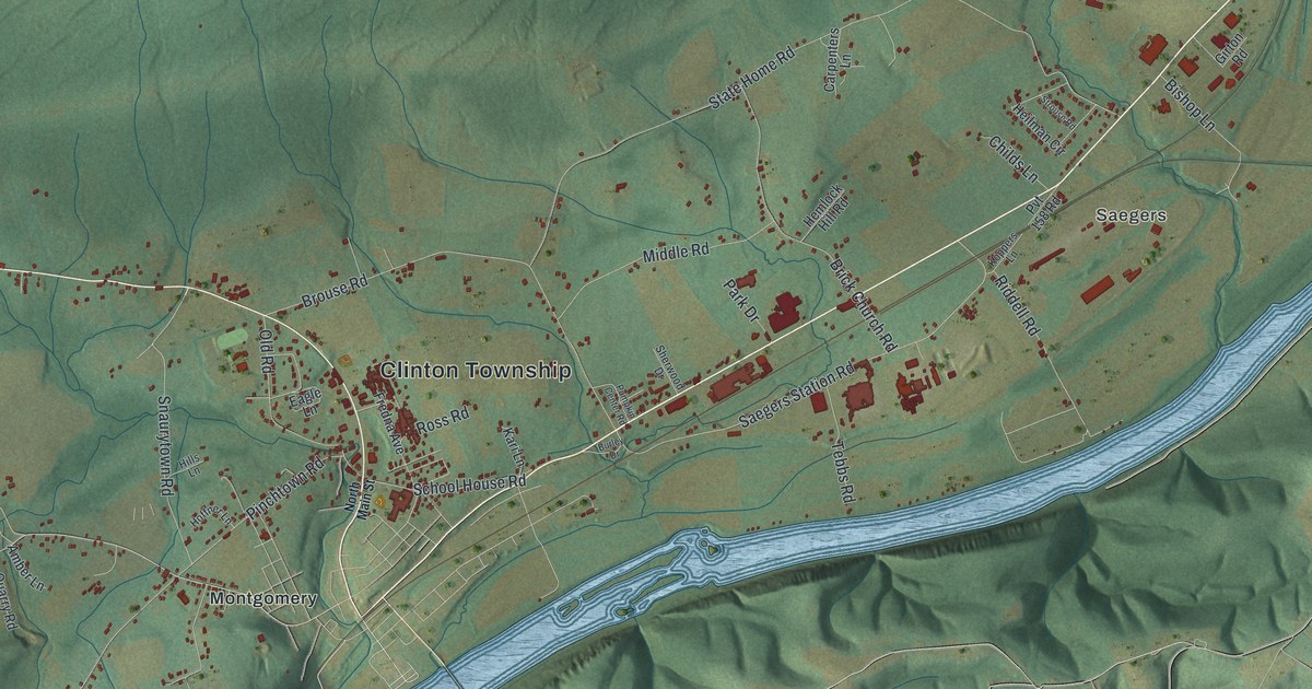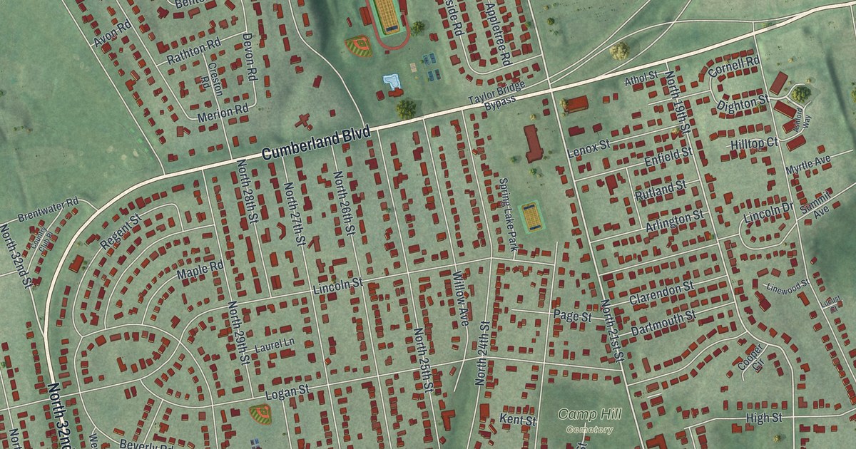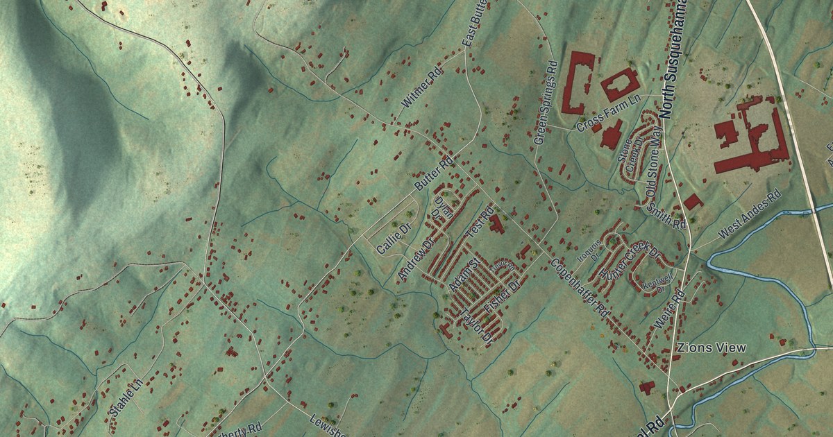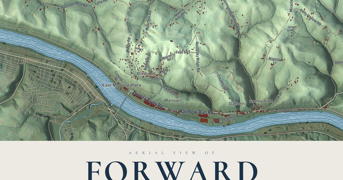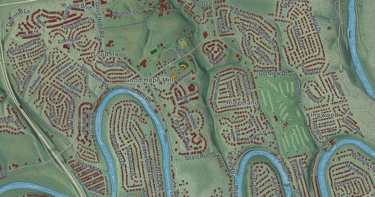
If you grew up in Hampden Township, or you still drive Carlisle Pike and Orrs Bridge Road every week, this map has plenty for you to find. It's a modern aerial view of Hampden Township in Cumberland County, Pennsylvania, made from modern data and given a vintage look. A blue creek winds across the middle in tight loops, with neighborhoods tucked inside each bend. Buildings are marked in red, from the big blocks near the municipal building to the homes up along Wertzville Road.
Carlisle Pike, Good Hope Road and Orrs Bridge Road
Start at the Hampden Township Municipal Building near the bottom of the map. Carlisle Pike runs just above it. Follow the pike east past Sporting Hill and Oakwood Park, where it becomes Market Street. Trindle Road runs below it, and Peace Church sits where the two roads come close. Now go back and take Good Hope Road north. It crosses the creek and passes Good Hope Mill and Good Hope. Keep going and you'll reach Mount Zion and Wertzville Road near the top.
Orrs Bridge Road is the other long road to follow. It starts at Carlisle Pike and climbs north past Ridgeland and Mount View to Wertzville Road. Kingwood sits to its east. Two of these names go way back. Jonas Rupp built the Good Hope mill about 1820, and James Orr built most of Orr's Bridge in 1834 and 1835. Many roads are labeled, and each red shape is a building, so zoom in on the preview and look for yours.
How Peace Church was built in 1798
Peace Church is the oldest story on this sheet. The 1886 county history calls it by its German name, Frieden's Kirche. In 1797 a German Reformed congregation agreed to build a log schoolhouse there. Part of it would be a home for the teacher. In 1798 they put up the stone church. Martin Rupp and Thomas Anderson were the builders. In 1806 a second congregation joined them. It had been meeting in a log house called Poplar Church, named for the tall poplar trees around it. To buy in, it paid half of everything, 405 pounds, 17 shillings and 3 pence.
The two groups shared the stone church for 60 years. In 1866 the Lutherans finished a brick church of their own close by and named it St. John's. That June, the Reformed congregation held its last communion in the old church. The building still stands and is listed on the National Register. A state marker says it's kept in its original form. On the map, look for Peace Church near Trindle Road, with Saint Johns Church Road just beside it.
For someone who knows Good Hope Road
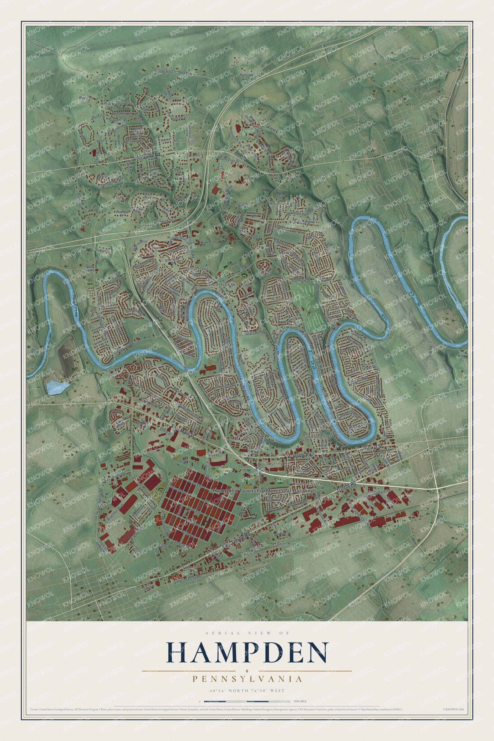
Created by KNOWOL in 2026, this Hampden map shows the hills in soft shaded green, the buildings in deep red and the creek in blue as it loops across the township. The shaded hills come from USGS elevation data. The title panel reads "Aerial View of Hampden, Pennsylvania," with the coordinates 40°14' North, 76°58' West and a one-mile scale bar.
It suits an office, a den or a family room. It's a thoughtful gift for someone who grew up near Peace Church or Good Hope Mill, or anyone who has moved away from Cumberland County. Open the preview, zoom in and find the streets you know. See sizes and frames for the Hampden map.