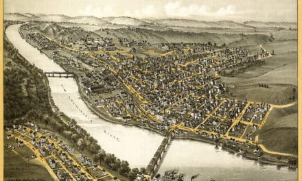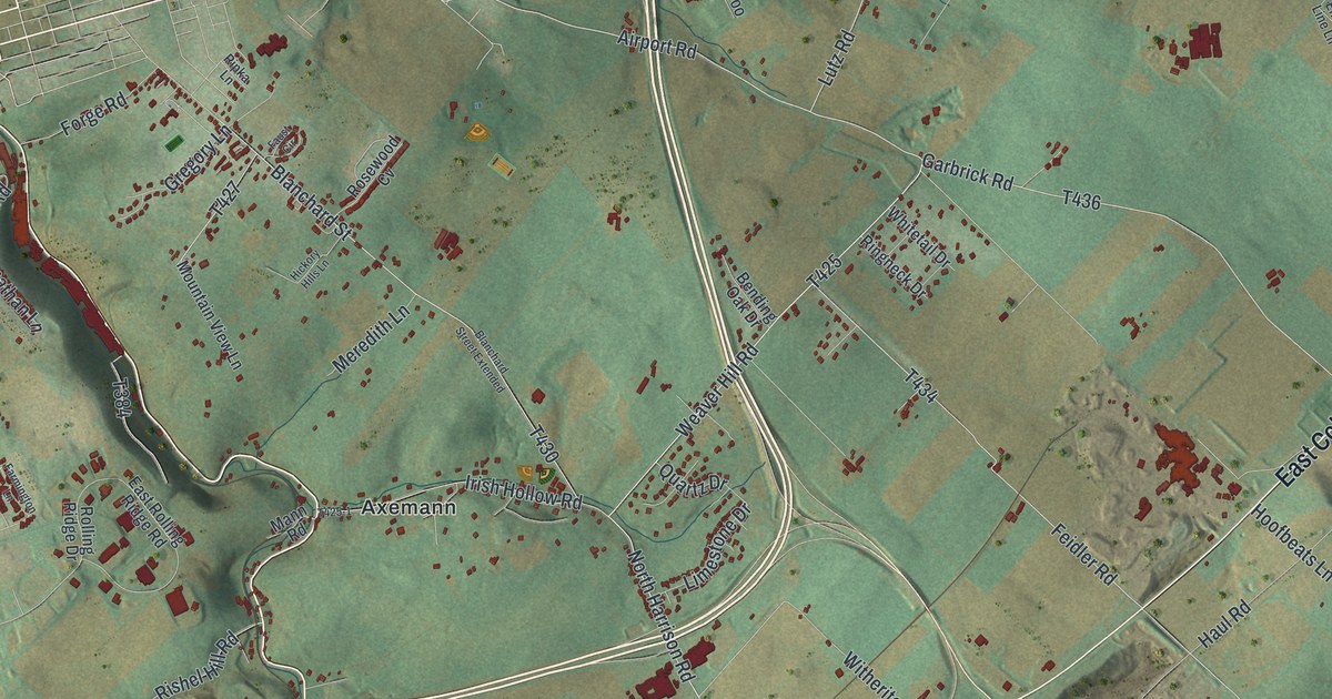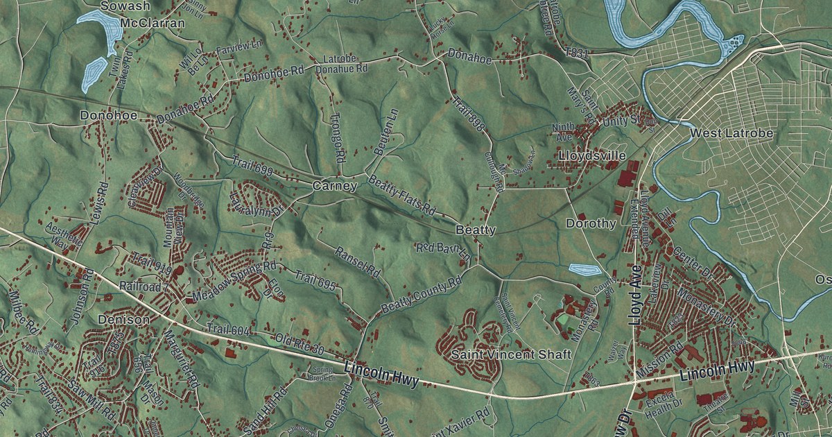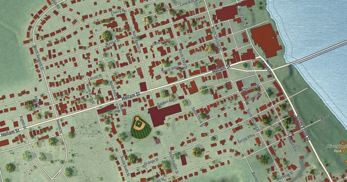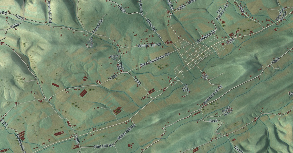
If you grew up in Washington Township, look for your family's road on this print. It's a modern aerial view of Washington in Snyder County, Pennsylvania, made with modern data and a vintage feel. Green hills rise between long stretches of open land. Small red buildings, pale roads and blue streams fill in the view.
Pallas, Kantz and the roads you know
On this map you'll find Freeburg Road, Academy Street, Flint Valley Road, Shade Mountain Road, Middle Creek Road, Produce Road, Orchard Hill Road, Church Road, Neitz Valley Road, Pallas, Kantz, and more. Each red shape is a building, so zoom in on the preview and look for yours.
Washington Township is home to 1,761 people (2020 census), in Snyder County, which was formed in 1855 out of Union County and named for Governor Simon Snyder. On this modern map, you can see the folds of the land around its roads. Long green ridges stand out beside broad, open valleys. Shade Mountain Road, Creek Mountain Road and Rocky Ridge Road all carry the hills in their names, so look for them and for Pallas.
See Pallas and Kantz up close
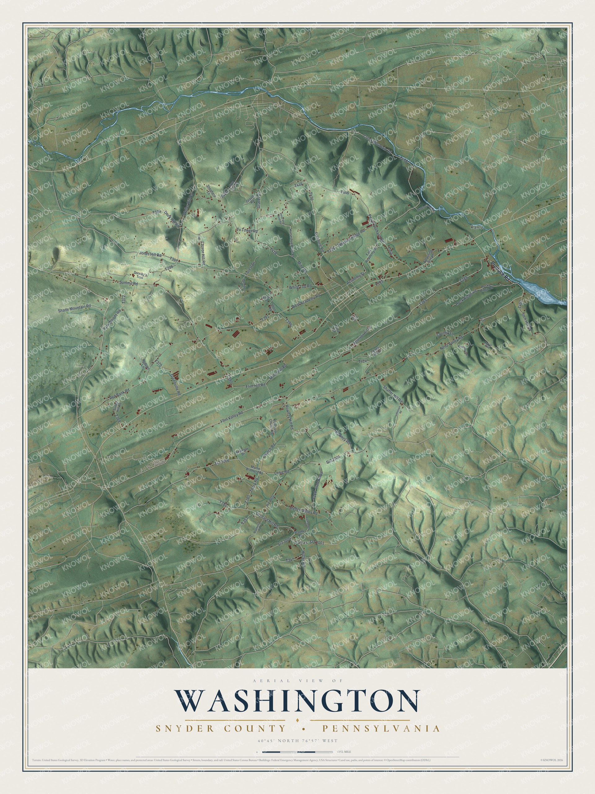
Created by KNOWOL in 2026, the print pairs shaded green hills with red buildings and fine blue streams. A cream border surrounds the view. The title panel reads AERIAL VIEW OF WASHINGTON, SNYDER COUNTY, PENNSYLVANIA, with 40°45' NORTH 76°57' WEST below.
Hang it in a living room, home office or entryway. It's a gift for someone with family near Pallas or along Flint Valley Road. Open the preview and look for the roads that lead back home. See sizes and frames for the Washington, Snyder County map.