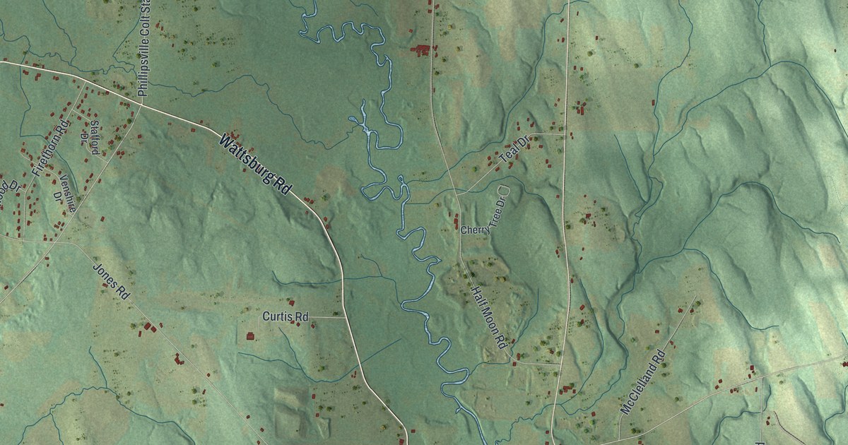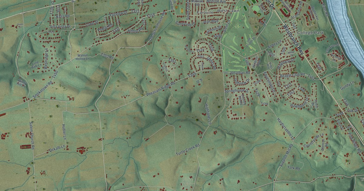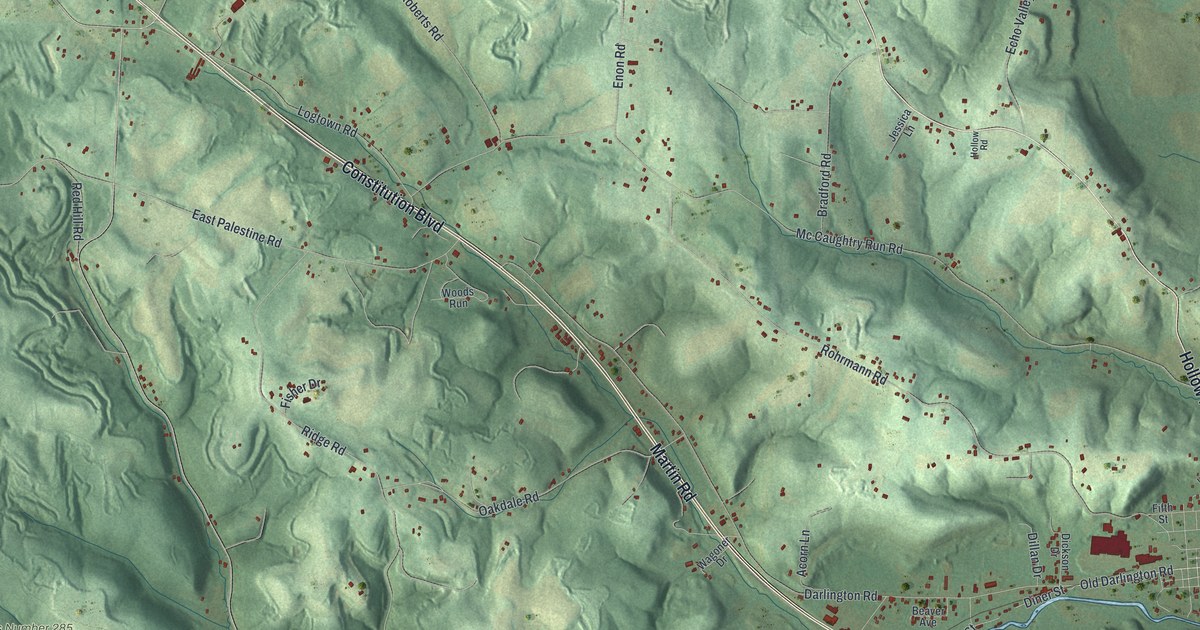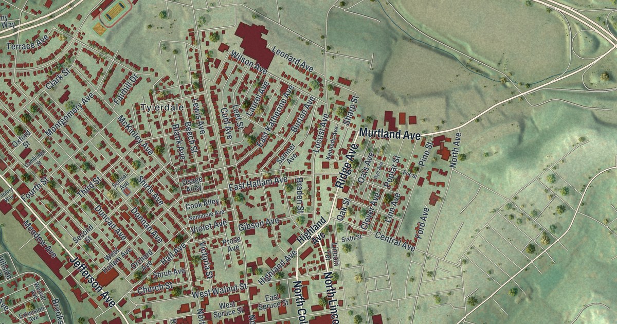
If you grew up in Washington, look for your old block on this print. It's a modern aerial view of Washington in Washington County, Pennsylvania, made with modern data and a vintage feel. Red buildings fill the city blocks, with green hills around them. You'll find the Tylerdale neighborhood and Washington Park named on it.
North College Street and Charles F. West
On this map you'll find North Main Street, South Main Street, Jefferson Avenue, East Maiden Street, West Maiden Street, West Chestnut Street, Murtland Avenue, North College Street, East Beau Street, Tylerdale, Washington Park, and more. Each red shape is a building, so zoom in on the preview and look for yours.
North College Street and East Beau Street give you a place to start this story. At Beau and College streets, the Charles F. West historical marker tells of a football first. In 1922, West became the first African American quarterback in the Rose Bowl. At Washington & Jefferson College, he faced an opposing team's demand that he be benched because of his race. He wouldn't accept it. West also joined the 1924 Olympic team as a pentathlete. Beyond sports, he worked as a doctor for 50 years.
Washington Park and the City Blocks
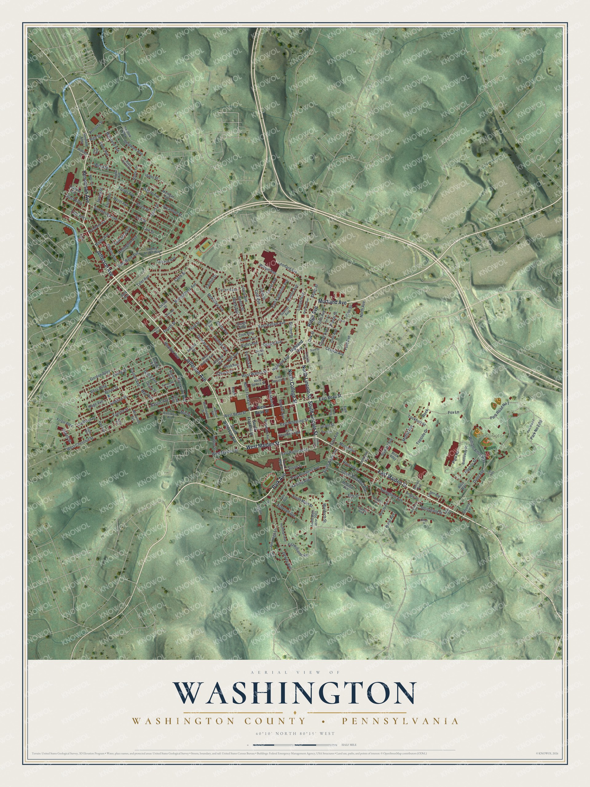
Created by KNOWOL in 2026, the print pairs soft green hills with red buildings and fine, pale roads. A cream border surrounds the view. The title panel reads AERIAL VIEW OF WASHINGTON, WASHINGTON COUNTY • PENNSYLVANIA, and 40°10' NORTH 80°15' WEST.
Hang it in a living room, office, or entryway to keep home close. It's a gift for someone who grew up in Tylerdale or went to Washington & Jefferson College. Open the preview and look for the streets you know. See sizes and frames for the Washington, Washington County map.