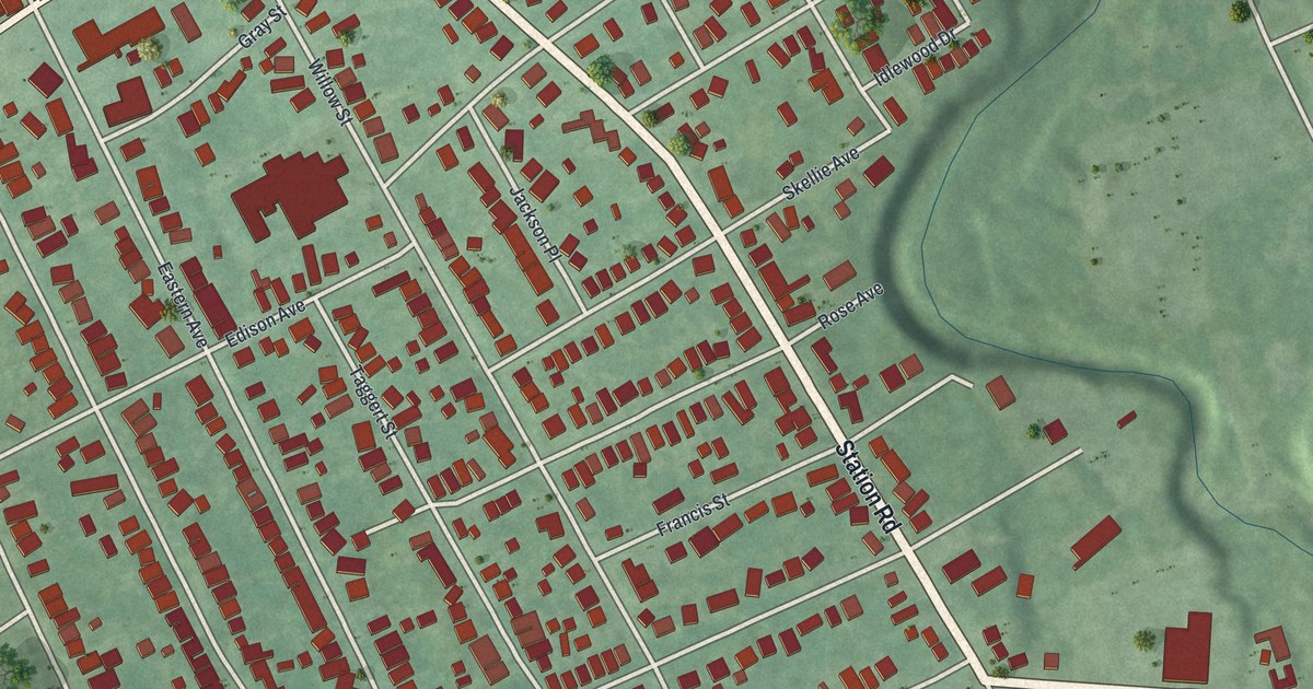
If you grew up along Buffalo Road or Station Road, this map will feel like home. It's a modern aerial view of Wesleyville in Erie County, Pennsylvania, made from modern data with a vintage feel. The town's buildings stand out in red on soft green land. A creek winds down the right side, and rail lines cross the top of the sheet.
Buffalo Road, Station Road and the streets of Wesleyville
On this map you'll find Buffalo Road, Station Road, Wesleyville Borough Hall, Wesleyville Memorial Park, Emory Red Hinkler Park, Eastern Avenue, Willow Street, Market Street, Woodlawn Avenue, Euclid Boulevard, Highland Avenue, Pearl Avenue, East 30th Street, and more. Each red shape is a building, so zoom in on the preview and look for yours.
How John Shadduck started Wesleyville in 1828
Wesleyville started with a mill. John Shadduck built a grist mill in 1823. He added a saw mill two years later. Both stood on the west bank of Four Mile Creek. In 1828 he laid out the village. He named it after John Wesley, the founder of Methodism. That same year he built the town's Methodist church, and the people rebuilt it in 1866. Shadduck died in 1834, and the 1884 History of Erie County calls his death a heavy blow to the place.
The town kept growing anyway. That same history counts three stores, three blacksmith shops, two cider mills and a wind mill factory. Between 150 and 200 people lived there. Buffalo Road was the main street, and Station Road met it right in the village. You can still see where they meet, just below Wesleyville Borough Hall. The creek on the right side of the print is where Shadduck's mills once ran.
Keep Buffalo Road close
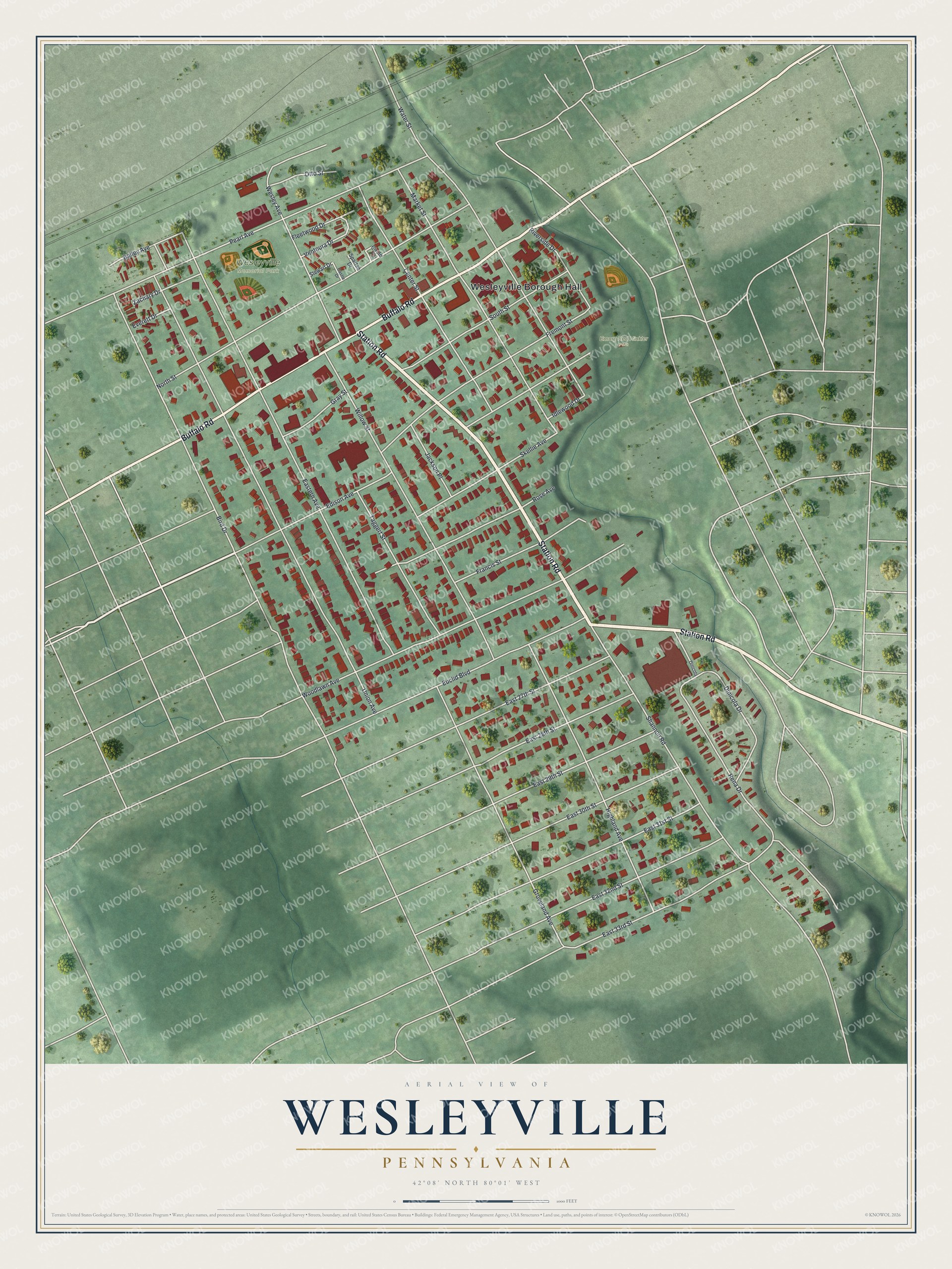
Created by KNOWOL in 2026, the print shows Wesleyville's buildings in deep red over soft green land, with the creek, the parks and the rail lines drawn in. The title panel reads "Aerial View of Wesleyville, Pennsylvania" with 42°08' North 80°01' West below it.
It fits a living room, a kitchen or a front hall. It's a kind gift for someone who grew up near Wesleyville Memorial Park or anyone who moved away from Buffalo Road. Open the preview and find your block. See sizes and frames for the Wesleyville map.