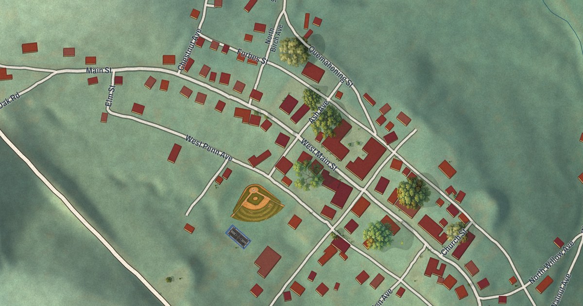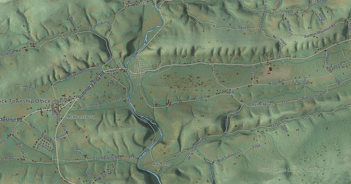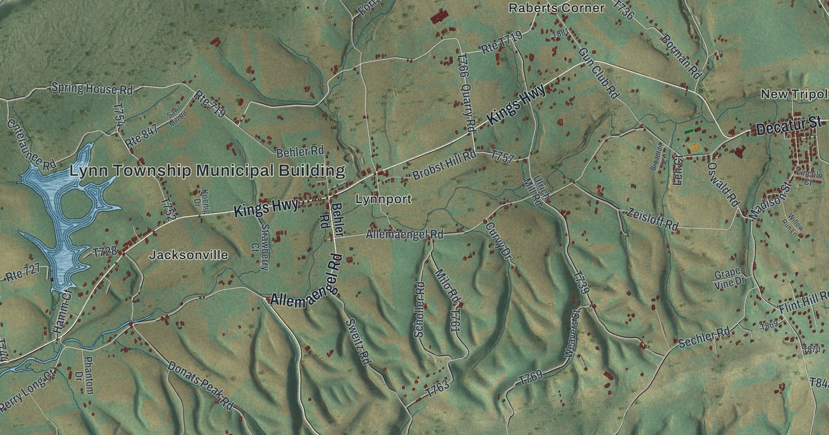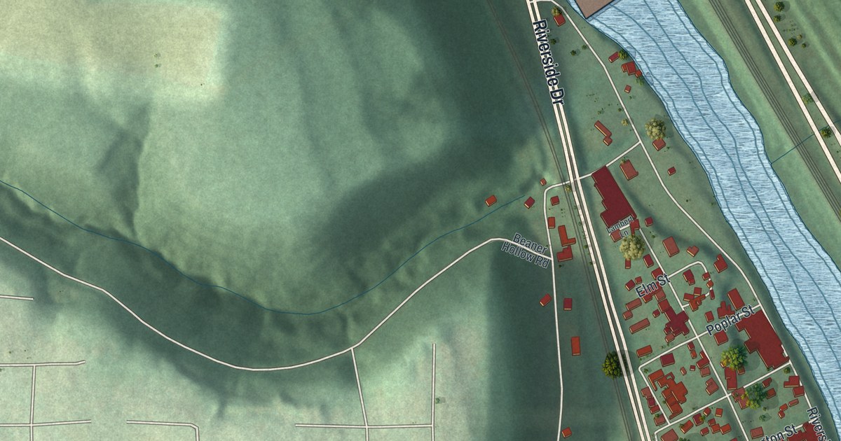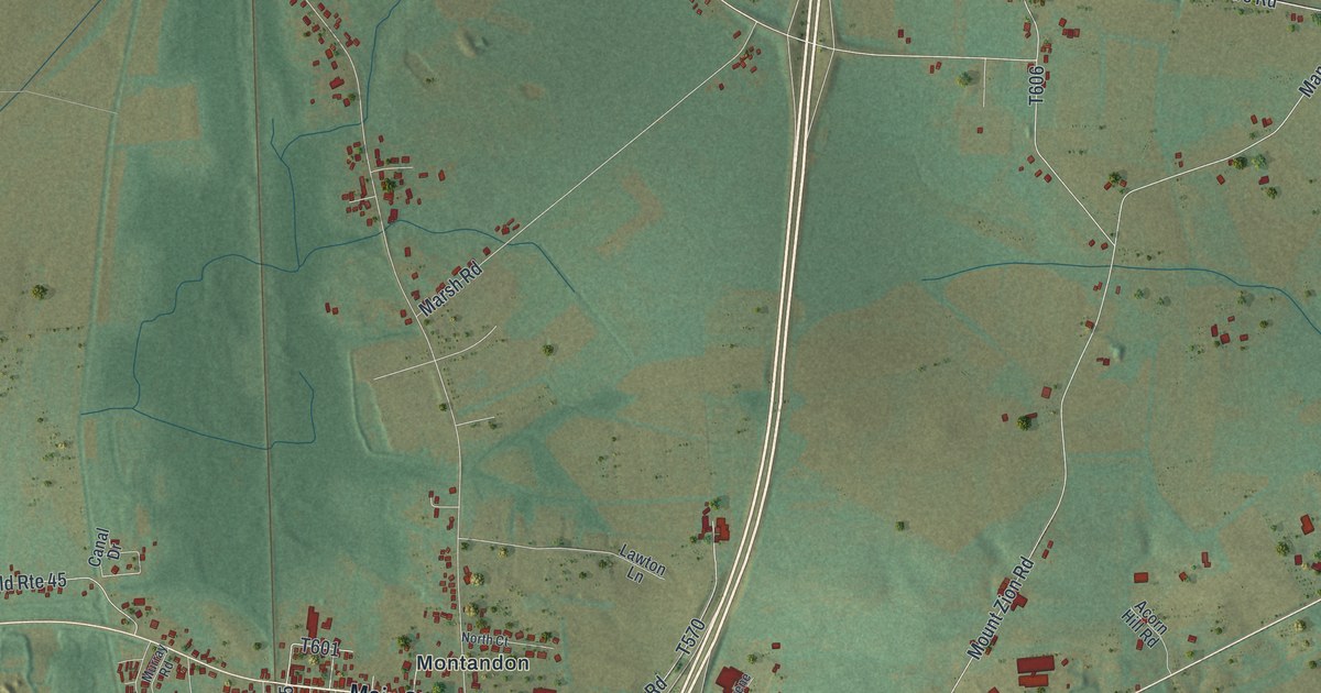
If you grew up in Montandon, this print gives you familiar names to find. It's a modern aerial view of West Chillisquaque in Northumberland County, Pennsylvania, made with modern data and a vintage feel. A broad blue river, green fields, and clusters of red buildings fill the view. Montandon, East Lewisburg, and Chillisquaque each have their names on the map.
Montandon, East Lewisburg, and John Brady
On this map you'll find Montandon, Main Street, East Lewisburg, Chillisquaque, Susquehanna Trail, Housels Run Road, Shakespeare Road, Ridge Road, Mount Zion Road, Sodom Road, Covered Bridge Road, Railroad Street, and more. Each red shape is a building, so zoom in on the preview and look for yours.
Captain John Brady lived in this township from 1769 to 1776. The Captain John Brady plaque on PA 405 records his years here, from 1769 to 1776. He then moved to Muncy Manor, later known as Fort Brady. A surveyor and soldier, Brady served in the French and Indian War. During the Revolution, he raised a company in the Twelfth Regiment of the Continental Line. He was its captain.
Keep Montandon and East Lewisburg Close
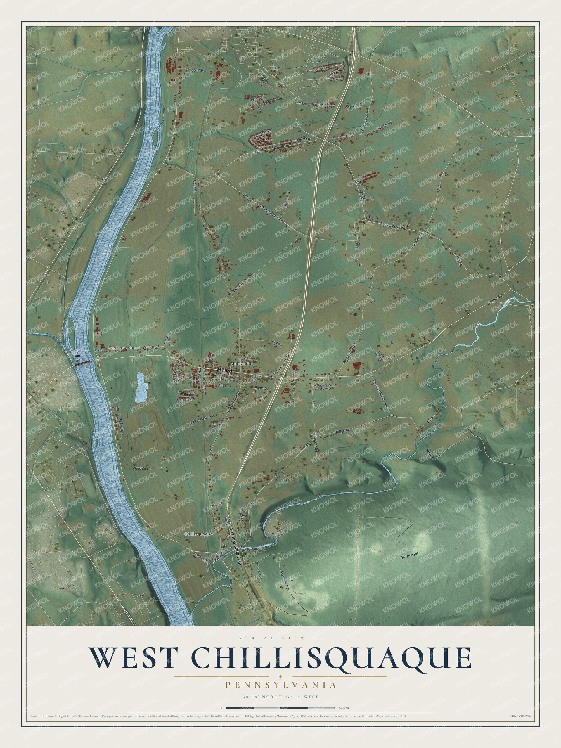
Created by KNOWOL in 2026, the print pairs soft green land with blue water and red building shapes. A cream border surrounds the view. The title panel reads AERIAL VIEW OF, WEST CHILLISQUAQUE, PENNSYLVANIA, with 40°58' NORTH 76°50' WEST below.
Hang it in a living room, home office, or entryway. It's a gift for someone who grew up in Montandon and wants to keep home close. Open the preview to find a familiar street and take a closer look at the buildings. See sizes and frames for the West Chillisquaque map.