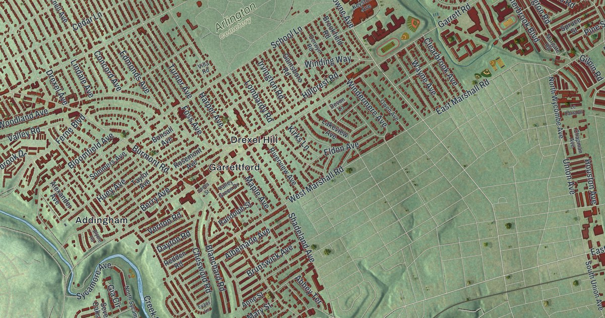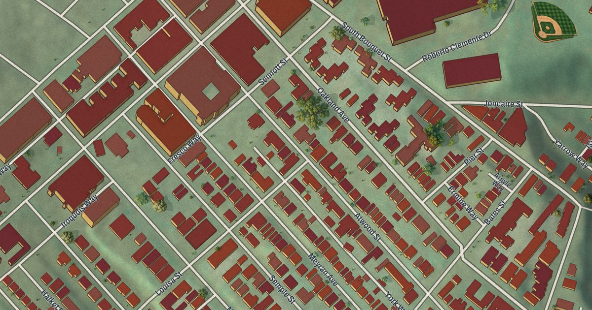
If you lived on Atwood Street or Semple Street, or you still remember a game at Forbes Field, this map is for you. It's a modern aerial view of Central Oakland in Allegheny County, Pennsylvania, made from modern data and given a vintage look. It shows more than 1,200 red buildings packed into tight rows. You'll see the big campus buildings near Forbes Avenue, a small green ball diamond, and wooded hills and hollows around the edges.
Forbes Avenue, Atwood Street and more
On this map you'll find Forbes Avenue, Fifth Avenue, Oakland Avenue, South Bouquet Street, Roberto Clemente Drive, Atwood Street, Semple Street, Meyran Avenue, Dawson Street, Bates Street, Boundary Street, McKee Place, Oakland Square, Schenley Drive, and more. Each red shape is a building, so zoom in on the preview and look for yours.
Where Forbes Field stood
Central Oakland's best-known story is a ballpark. Two state historical markers tell it. Forbes Field was built here in 1909, and Pirates owner Barney Dreyfuss was vital to building it. It was the first all steel and concrete ballpark in the nation. The Pirates played there, and it hosted four World Series. The Homestead Grays, the Steelers and the Pitt Panthers played there too. On October 13, 1960, Bill Mazeroski hit a home run in the ninth inning of game seven to win the World Series. Babe Ruth hit his last 3 home runs there. Fire damaged the park, and it was torn down in 1972. Part of the old Forbes Field wall is still there. The marker stands beside it on Roberto Clemente Drive near South Bouquet Street. On the map, look for the small green ball diamond near Roberto Clemente Drive.
The old school on Dawson Street
Another old building has its own honor. The Oakland Public School on Dawson Street was listed on the National Register of Historic Places in 1987. Find Dawson Street on the map to spot its block.
From Forbes Avenue to Boundary Street
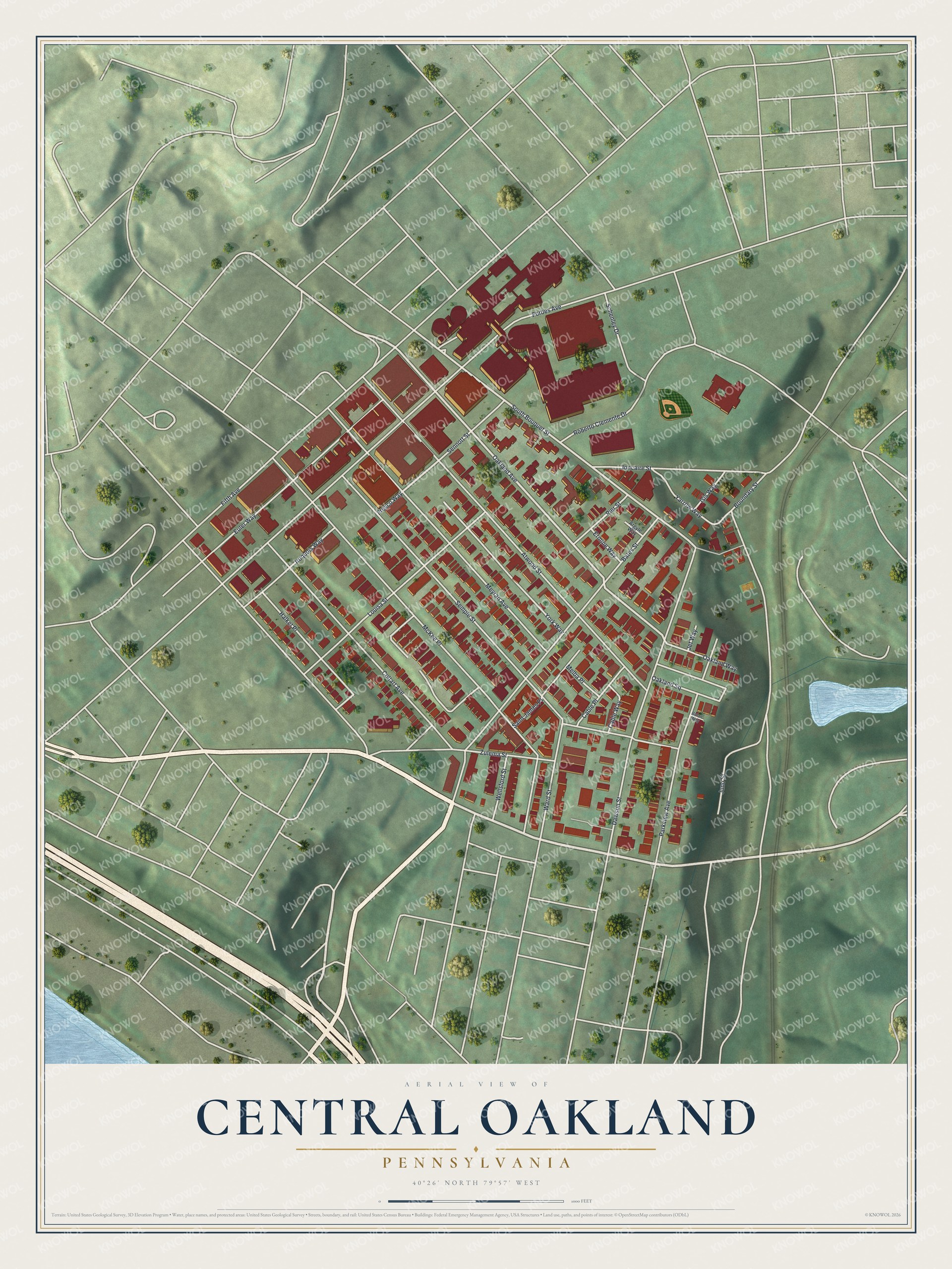
Created by KNOWOL in 2026, this print shows Central Oakland from above in soft greens, with buildings in deep red and streets in white. The title panel reads Aerial View of Central Oakland, Pennsylvania, with the coordinates 40°26' North 79°57' West.
It fits a first apartment, a home office or a Pirates fan's den. It's a gift for a Pitt grad who lived on Semple Street, or for someone who still talks about Forbes Field. Open the preview and find your street. See sizes and frames for the Central Oakland map.