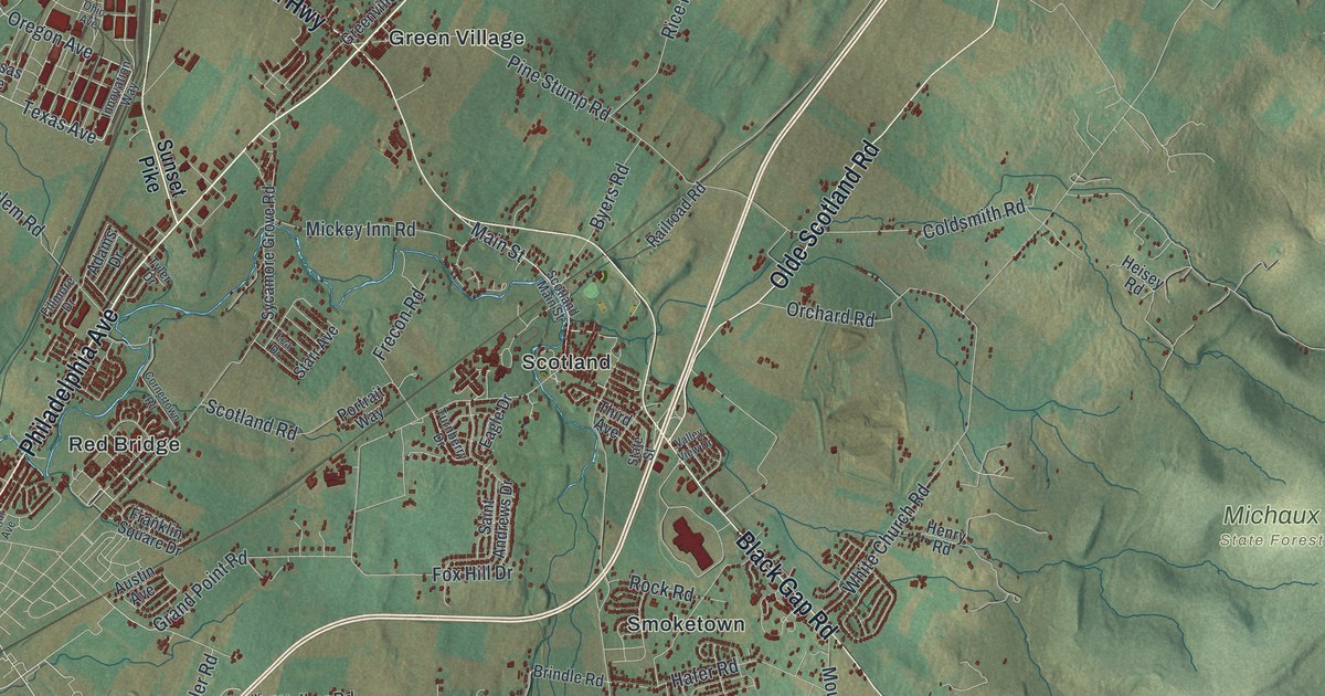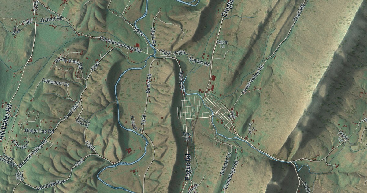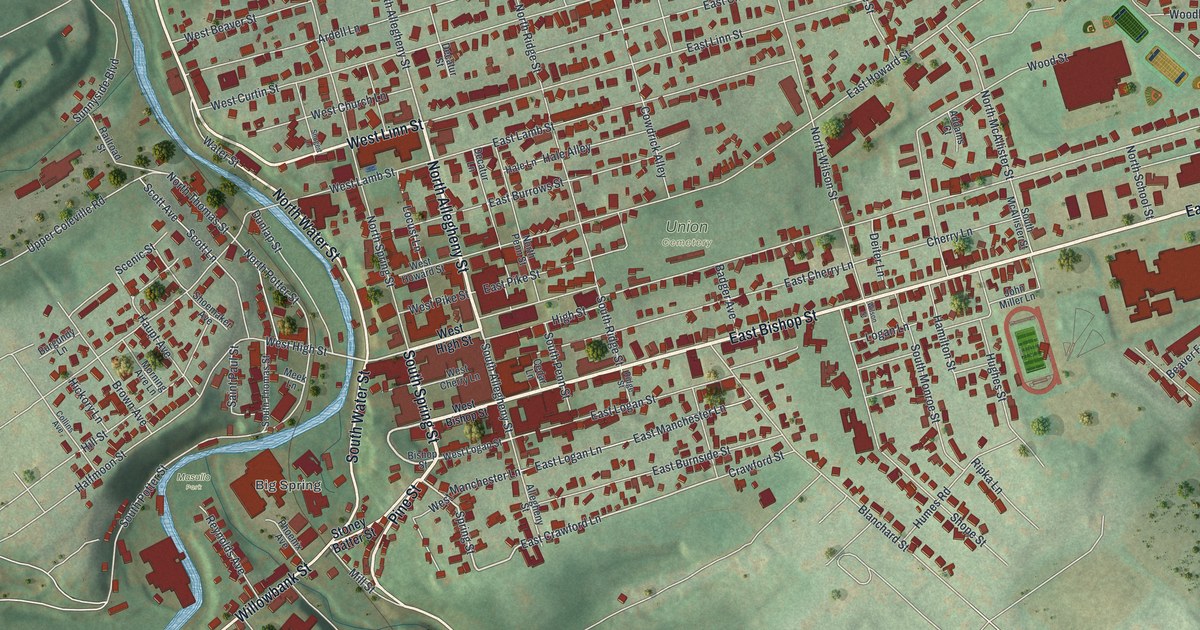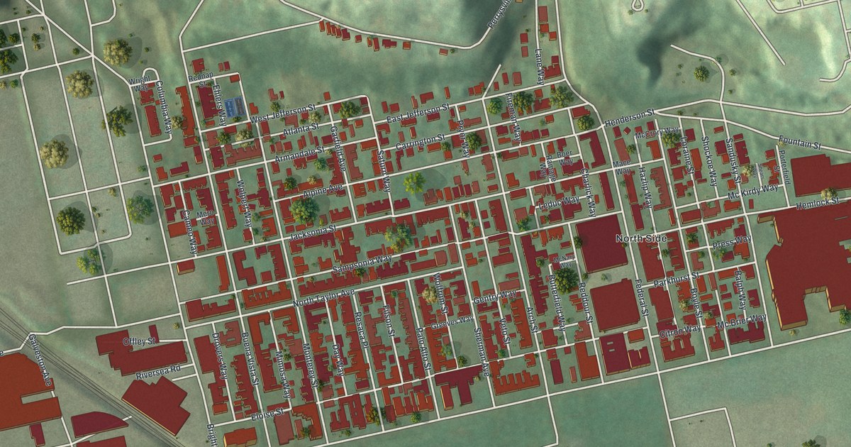
If you grew up on Arch Street, Buena Vista Street or Sherman Avenue, or you still have family on the North Side, this map is for you. It's a modern aerial view of Central Northside in Allegheny County, Pennsylvania, made from modern data and given a vintage feel. Tight rows of red buildings fill the middle of the sheet. Green hills rise to the north. A rail line cuts across on a slant near Manchester, and a wide highway runs down the right edge.
Federal Street, Arch Street and the blocks between
On this map you'll find Federal Street, Arch Street, Brighton Road, Allegheny Avenue, Perrysville Avenue, Buena Vista Street, Monterey Street, Sherman Avenue, Resaca Place, Palo Alto Street, Sampsonia Way, Jacksonia Street, East Jefferson Street, Manchester, and more. Each red shape is a building, so zoom in on the preview and look for yours.
Dorothy Mae Richardson and her marker on Arch Street
Dorothy Mae Richardson spent her whole life on Pittsburgh's North Side. She was born in 1922 and died in 1991. In 1968 she founded Neighborhood Housing Services. A state historical marker calls it a model of resident-led community development. In plain words, the people who lived here led it. Her work inspired a national movement. It also led to the creation of NeighborWorks America. The marker stands at 1419 Arch Street, and it was dedicated in 2019. Find Arch Street on the print and you've found the block where she's remembered.
The neighborhood's old buildings get their due too. On Perrysville Avenue, the John A. Brashear House and Factory joined the National Register of Historic Places in 2012.
Keep Arch Street and the North Side close
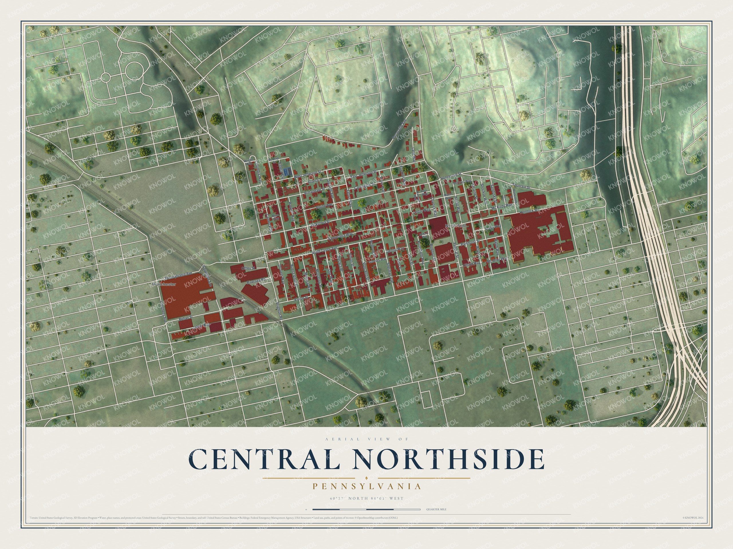
Created by KNOWOL in 2026, this print shows Central Northside from above in soft greens, with its buildings in deep red and its streets in pale lines. The title panel reads Aerial View of Central Northside, Pennsylvania, with the coordinates 40°27' North 80°01' West.
It suits a front hall, a living room or a home office. It's a good gift for someone who grew up near Federal Street and moved away, or for a neighbor who knows Dorothy Mae Richardson's story. Open the preview and find your street. See sizes and frames for the Central Northside map.