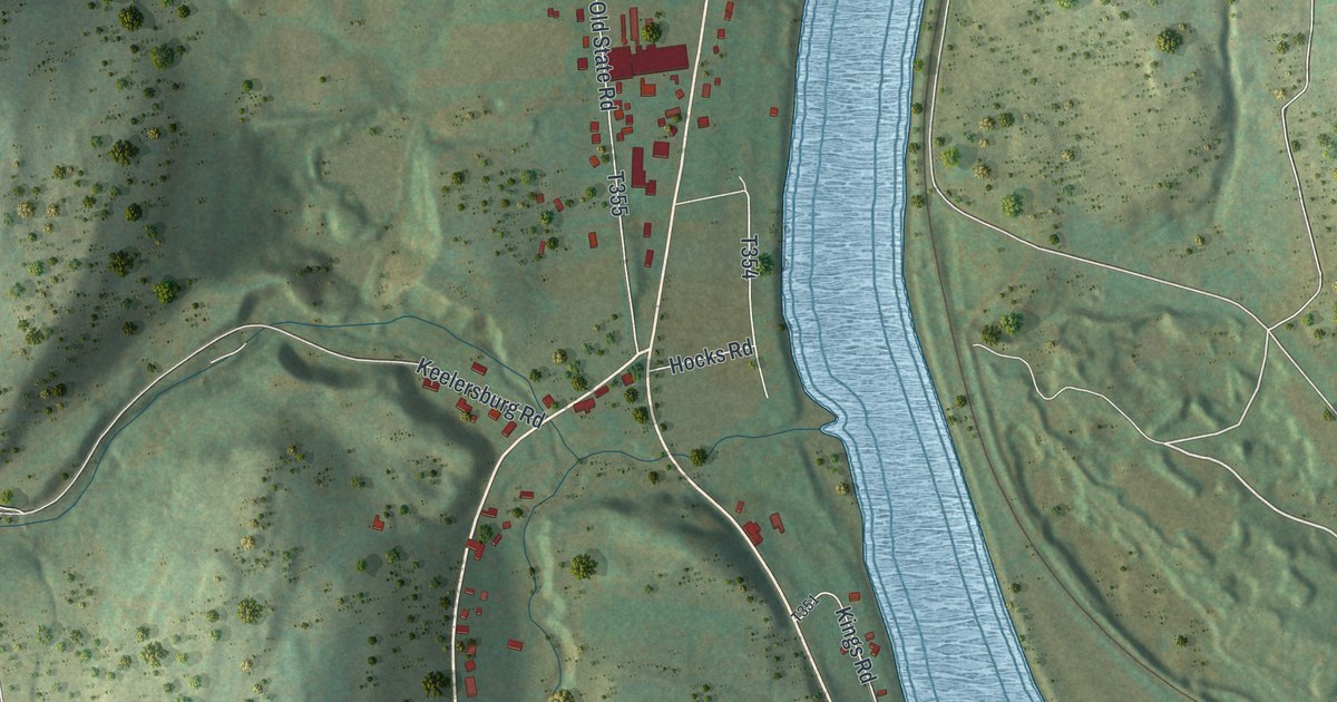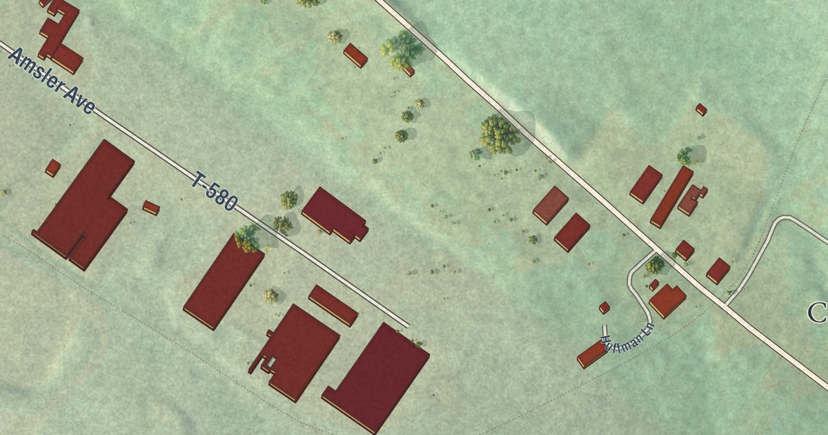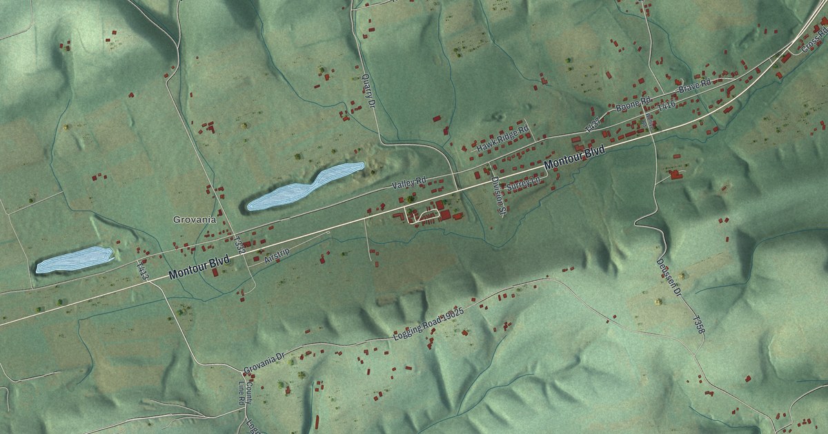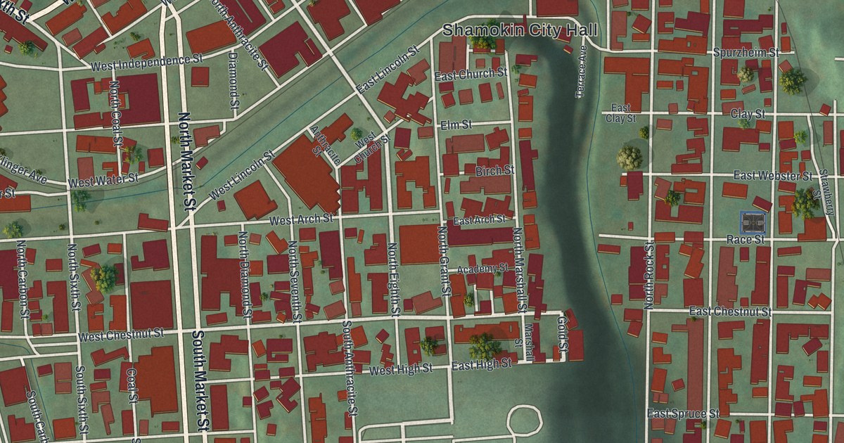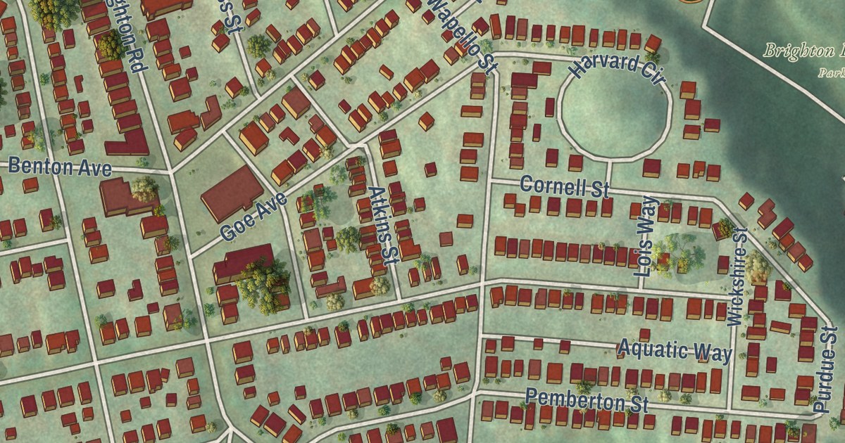
This beautifully detailed map of Brighton Heights, Pennsylvania was created in 2026 using aerial imagery combined with modern topographical, census, street and landmark data. It’s a one-of-a-kind view of Brighton Heights that combines accurate data with a vintage aesthetic. The map shows every building in its true location, many of the roads carry their names, and the shaded topographic relief shows the shape of the land.
Explore an aerial view of Brighton Heights, Pennsylvania
On the map you’ll find Brighton Heights Park, along with Ohio River Boulevard, Termon Avenue, Weltz Way, Davis Avenue, Oakdale Street, Weitz Way, Lapish Road, Speck Street, Purdue Street, California Avenue, Brighton Road, and more. If you look closely you can even find your house accurately drawn in its correct location. Zoom in on the preview to look for yours.
Take a closer look at the Brighton Heights map
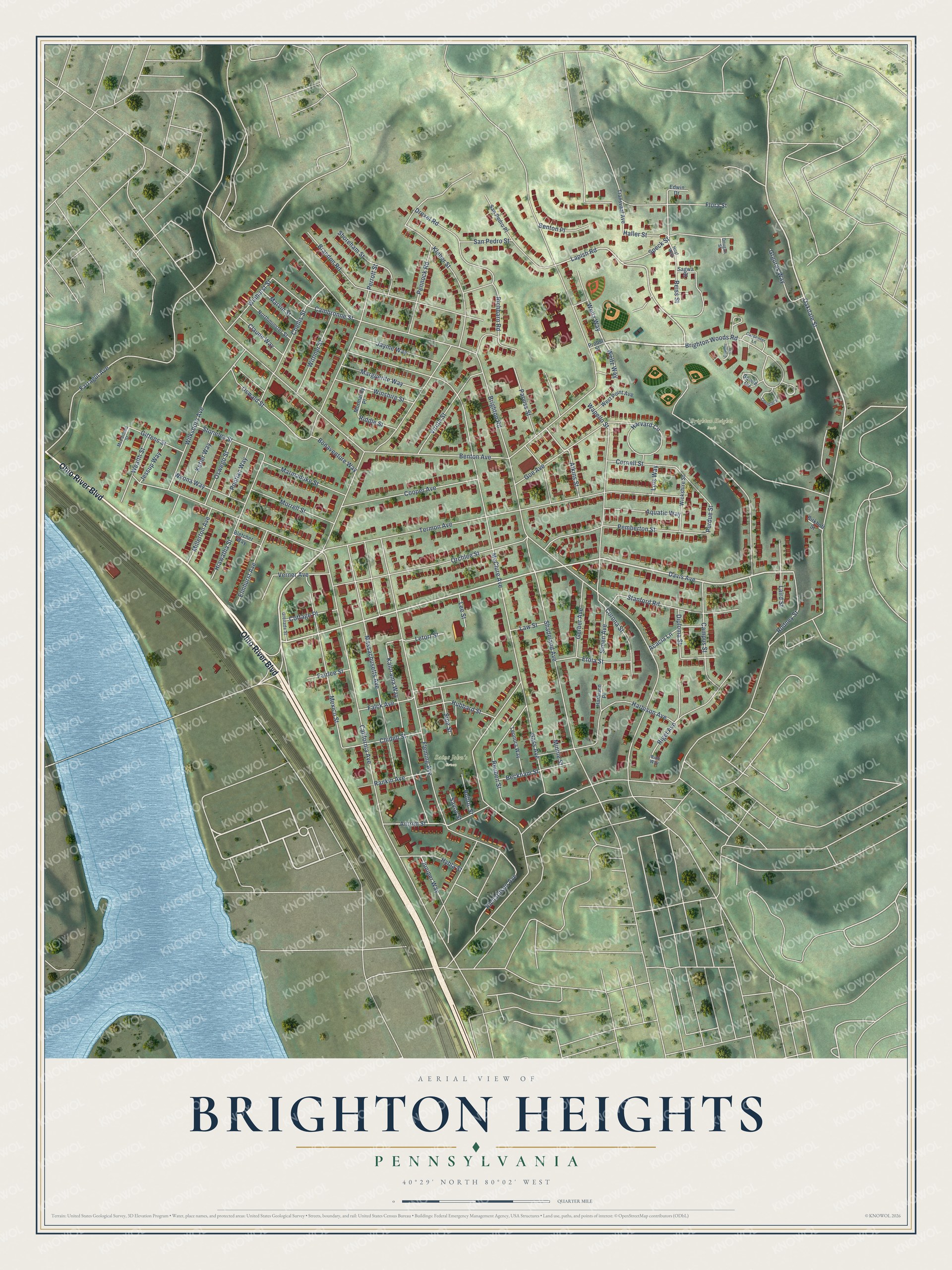
Street and place names on the Brighton Heights, Pennsylvania map
These names are printed on the map of Brighton Heights, Pennsylvania.
Places: Brighton Heights Park and Saint John's Green.
Streets and roads: Ohio River Boulevard, Termon Avenue, Weltz Way, Davis Avenue, Oakdale Street, Weitz Way, Lapish Road, Speck Street, Purdue Street, California Avenue, Brighton Road, McClure Avenue.
More street names, A to Z
Acacia Lane, Antrim Street, Aquatic Way, Atkins Street, Beckham Street, Benton Avenue, Benton Place, Birkhoff Street, Bletcher Way, Bonaventure Way, Brandon Road, Brighton Woods Road, Cambronne Street, Campus Street, Carpenter Lane, Chandler Place, Chellis Street, Chidell Street, Claude Way, Cobbler Circle, Cooper Avenue, Cornell Street, Corona Street, Cottage Place, Diploma Street, Dougan Street, Drexel Road, Edwin Drive, Elmhurst Avenue, Etola Street, Fairlee Street, Falck Avenue, Farragut Avenue, Fleming Avenue, Flora Street, Gass Avenue, Gerber Avenue, Gittens Street, Goe Avenue, Grenada Street, Grguras Way, Haller Street, Harbison Avenue, Harbison Place, Harvard Circle, Hiawatha Street, Hoyt Way, Hubbard Street, Hybla Street, Jayme Way, Jessup Way, Juniper Way, Kalorama Way, Ketler Way, Kleber Street, Laird Street, Law Street, Lee Street, Leonora Way, Letort Street, Lois Way, Marguerite Way, Marmaduke Street, Marvin Street, Massachusetts Avenue, McFarland Street, Mexico Street, Millerton Avenue, Minnie Street, Mormandy Place, Morrell Street, Northminster Street, Orchlee Street, Oswald Street, Oswego Street, Parviss Street, Pemberton Street, Pennock Road, Perrott Street, Pontiac Way, Probst Street, Rankin Avenue, Reiss Street, Reuben Street, Ribb Way, Richardson Avenue, Richbarn Road, Riddle Street, Rigel Avenue, Rodney Street, Rubric Street, Sagwa Street, San Pedro Place, San Pedro Street, Savoy Street, Shadeland Avenue, Shoreham Street, Simen Avenue, Sipe Street, Squire Circle, Stanford Road, Stonelea Street, Transvaal Avenue, Verner Avenue, Viruth Street, Wapello Street, Wealth Street, West Point Avenue, Wickshire Street, Wilksboro Avenue, Winhurst Street, Winshire Street, Wittmer Street, Wyona Way.
See the Brighton Heights, Pennsylvania map on a wall
The Brighton Heights map as an 18 x 24 inch print in a black frame.

This beautifully detailed map of Brighton Heights makes an attractive addition to your office, library, or den, and it can even be used to teach children the geography and history of the area. It also makes a great gift for anyone with Brighton Heights roots. When you’re done exploring, click here to get your copy of the Brighton Heights map.