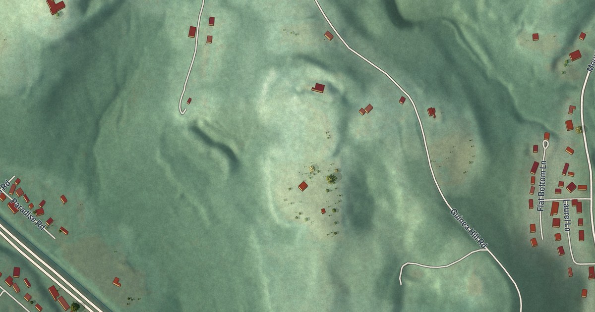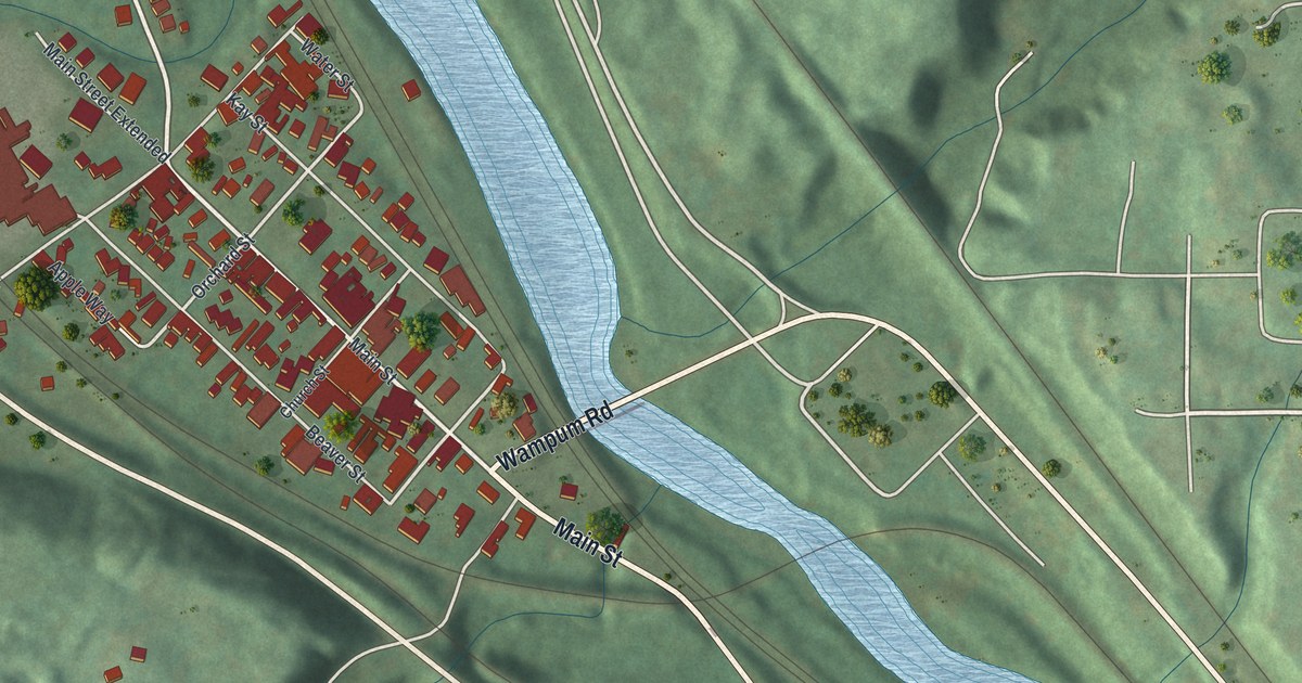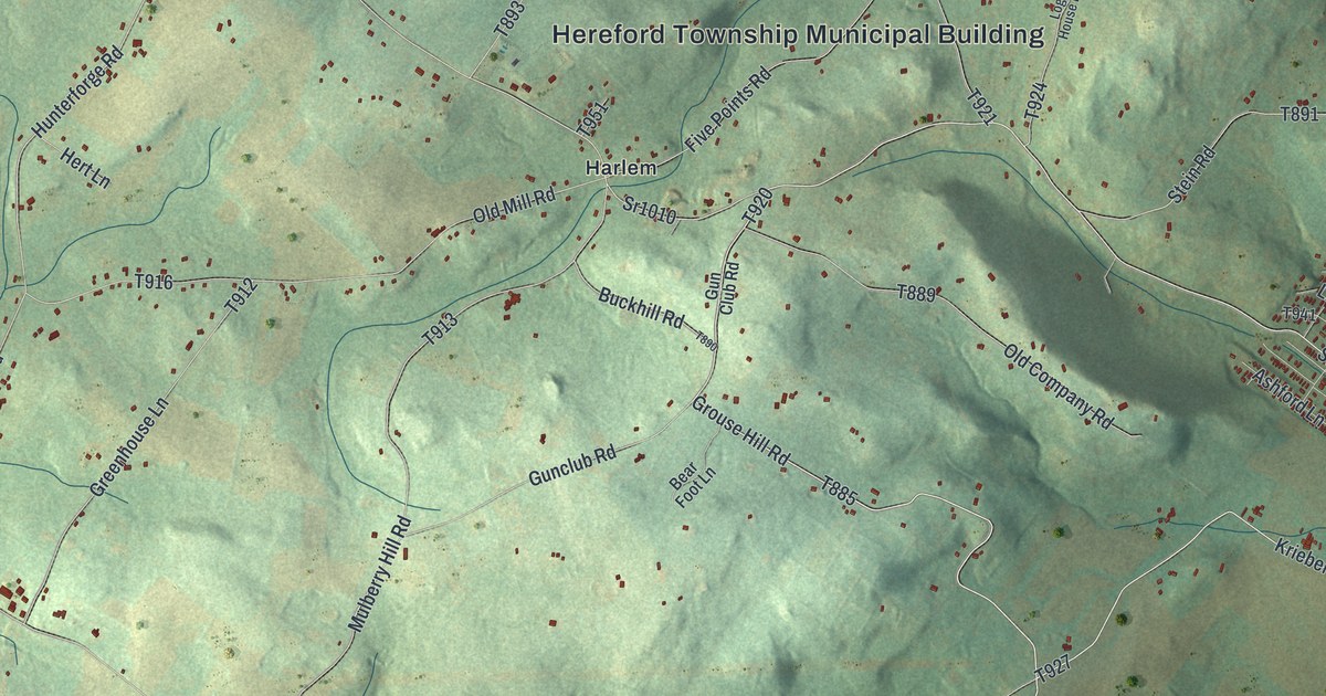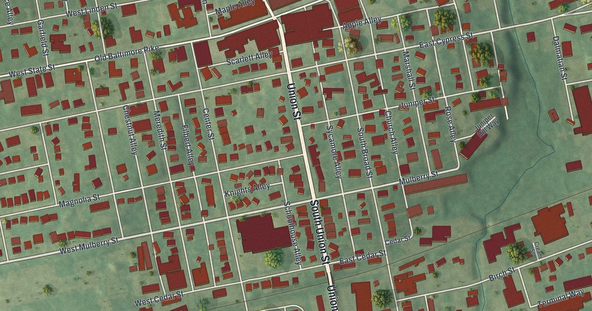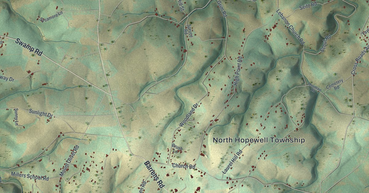
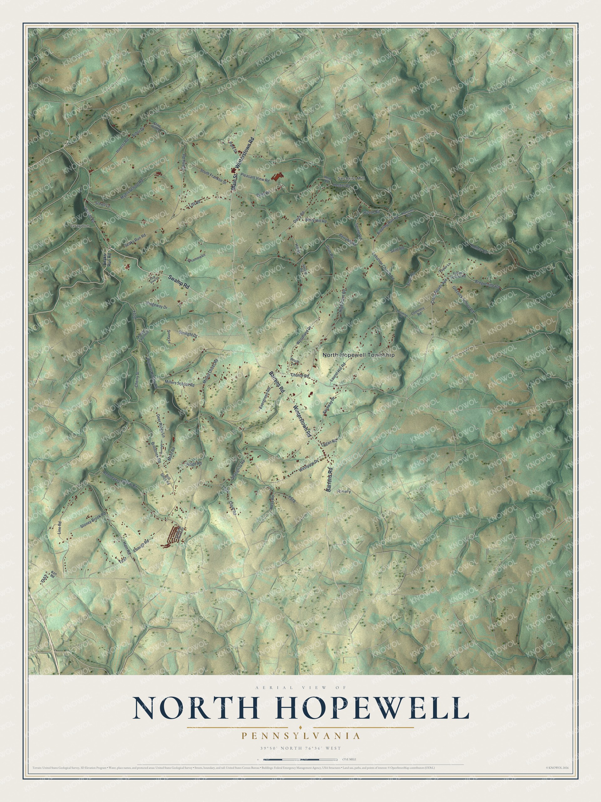
This beautifully detailed map of North Hopewell, Pennsylvania was created in 2026 using aerial imagery combined with modern topographical, census, street and landmark data. It’s a one-of-a-kind view of North Hopewell that combines accurate data with a vintage aesthetic. The map shows every building in its true location, many of the roads carry their names, and the shaded topographic relief shows the shape of the land.
Explore an aerial view of North Hopewell, Pennsylvania
On the map you’ll find North Hopewell Township, Graydon, Rinely, and Sechrist Mill, along with Winterstown Road, Barrens Road, Swamp Road, Main Street, Cross Roads Avenue, Laurel Hill Road, Church Road, Park Street, and more. If you look closely you can even find your house accurately drawn in its correct location. Zoom in on the preview to look for yours.
Did you know this piece of North Hopewell, Pennsylvania history?
From the Red Lion Area Historical Society: "Brenneman’s School was located on the northwest corner of the intersection of Route 24 and Shangri-La. The school was built sometime between 1876 and 1885."
Take a closer look at the North Hopewell map
Street and place names on the North Hopewell, Pennsylvania map
These names are printed on the map of North Hopewell, Pennsylvania.
Places: North Hopewell Township, Graydon, Rinely and Sechrist Mill.
Streets and roads: Winterstown Road, Barrens Road, Swamp Road, Main Street, Cross Roads Avenue, Laurel Hill Road, Church Road, Park Street, Mount Olivet Road, Blymire Hollow Road, Line Road, Cherry Street.
More street names, A to Z
Arbor Drive, Berry Hill Road, Berryhill Road, Brillstrick Road, Brill Strick Road, Brogueville Road, Brush Lane, Camp Road, Carbridge Road East, Cemetery Road, Clark Road, Dairy Road, Deer Ridge Lane, Deer Road, Ebaugh Road, Evergreen Road, Faraway Drive, Fulton School Road, Glessick School Road, Grim Road, Hain Road, Hanover Avenue, Herb Road, Herbst Road, Hess Road, High Point Road, Hill Street, Hollow Road, Huson Road, Innerst Road, Ken Road, Lebanon Church Road, List Road, Logan Road, Millers School Road, Mont Road, Moonlight Lane, Mountain Road, Myers School Road, Park View Drive, Pleasant View Road, Potosi Extended, Rehmeyers Hollow Road, Ridge Road, Ridgeway Drive, Rippling Run Road, Schell Lane, Scout Road, Seaks Run Road, Seitz Road, Shangri la Road, South Franklin Street, Spring Road, Spruce Road, Stine Hill Road, Stoney Brook Road, Sunlight Drive, Sunny Lane, Sycamore Lane, Taylor Lane, Westview Drive, Woodland Drive.
See the North Hopewell, Pennsylvania map on a wall
The North Hopewell map as an 18 x 24 inch print in a black frame.

This beautifully detailed map of North Hopewell makes an attractive addition to your office, library, or den, and it can even be used to teach children the geography and history of the area. It also makes a great gift for anyone with North Hopewell roots. When you’re done exploring, click here to get your copy of the North Hopewell map.