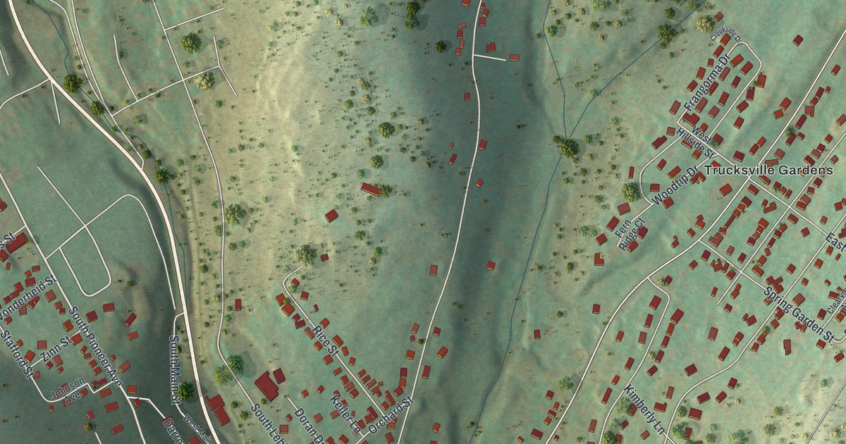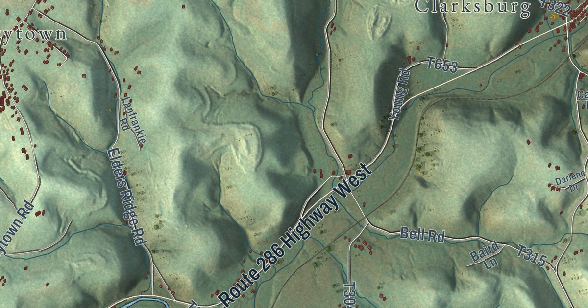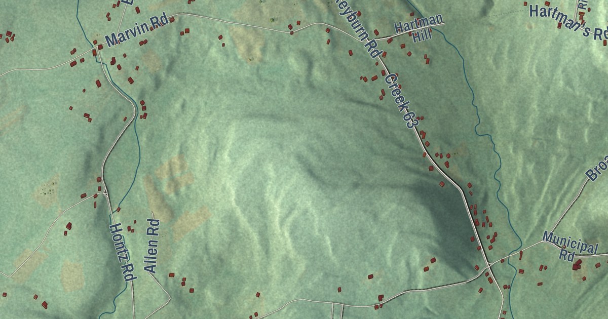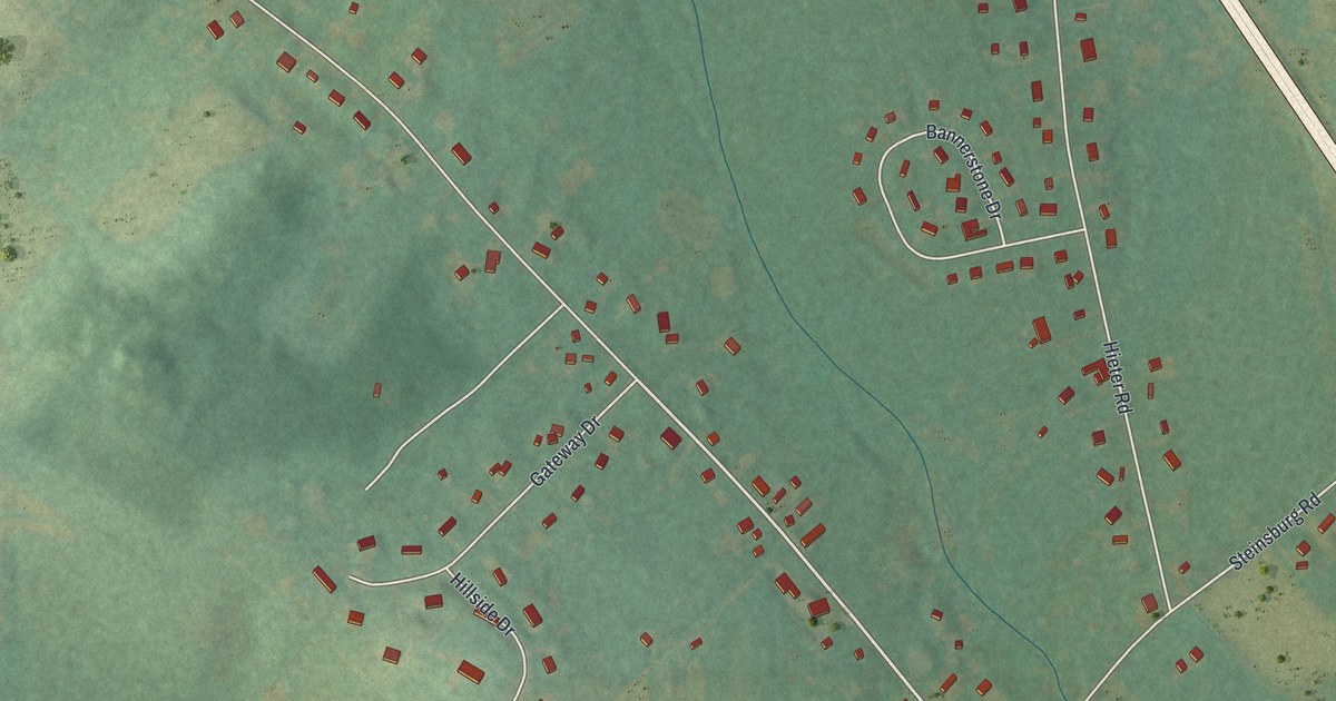
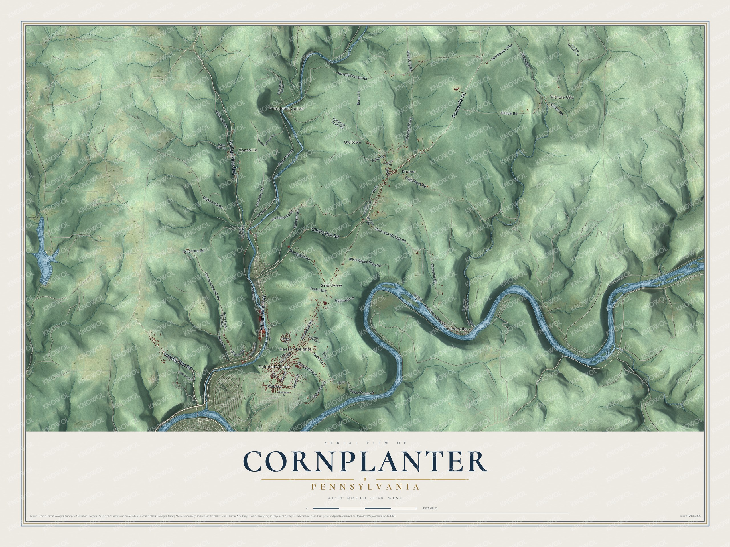
This beautifully detailed map of Cornplanter, Pennsylvania was created in 2026 using aerial imagery combined with modern topographical, census, street and landmark data. It’s a one-of-a-kind view of Cornplanter that combines accurate data with a vintage aesthetic. The map shows every building in its true location, many of the roads carry their names, and the shaded topographic relief shows the shape of the land.
Explore an aerial view of Cornplanter, Pennsylvania
On the map you’ll find Pithole City, Colonial Village, Grandview, Hasson Heights, Kaneville, Oleopolis, Owltown, Petroleum Center, and Plumer, along with Halyday Run Road, William Flinn Highway, Rouseville Road, and more. If you look closely you can even find your house accurately drawn in its correct location. Zoom in on the preview to look for yours.
Take a closer look at the Cornplanter map
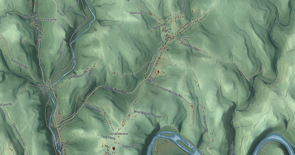
Street and place names on the Cornplanter, Pennsylvania map
These names are printed on the map of Cornplanter, Pennsylvania.
Places: Pithole City, Colonial Village, Grandview, Hasson Heights, Kaneville, Oleopolis, Owltown, Petroleum Center and Plumer.
Streets and roads: Halyday Run Road, William Flinn Highway, Rouseville Road, Cherry Run Road, Grandview Road, Eagle Rock Road, Cornplanter Hill Road, Russell Corners Road, Oleopolis Road, Pithole Road, Berry and Mc Fate Road, Bankson Road.
More street names, A to Z
Bridge Road, Burns Lane, Cemetery Road, Christie Hill Road, Congress Drive, Cubbon Drive, Deer Run Trail, East River View Road, Garbreski Court, Gibson Hill Road, Greenwood Drive, Hillcrest Avenue, Horne Lane, Jeff Cubbon Lane, Kane Run Road, Kaneville Road, Kevin Circle, Lantz Lane, Lawrence Drive, Lesher Road, McClintockville Road, McFate Road, Moody Run Road, Morgan Pine Lane, Number Five Power Road, Oak Grove Street, Oak Road, Old Bankson Road, Old Rouseville Road, Old Warren Pike, Park Avenue, Paul Revere Road, Pebble Beach Lane, Petroleum Center Road, Plank Road, Planter Drive, Rockwood Avenue, Rybak Road, Rynd Farm Road, Schontz Is, Scotts Drive, South Main Street Extended, Sr1007, State Park Road, Stevenson Hill Road, Tank Farm, Union Street, Union Street Extended, Waitz Road, West River View Road, West Walnut Bend Road, White City Road.
See the Cornplanter, Pennsylvania map on a wall
The Cornplanter map as an 18 x 24 inch print in a black frame.

This beautifully detailed map of Cornplanter makes an attractive addition to your office, library, or den, and it can even be used to teach children the geography and history of the area. It also makes a great gift for anyone who grew up in Cornplanter or moved away. When you’re done exploring, click here to get your copy of the Cornplanter map.