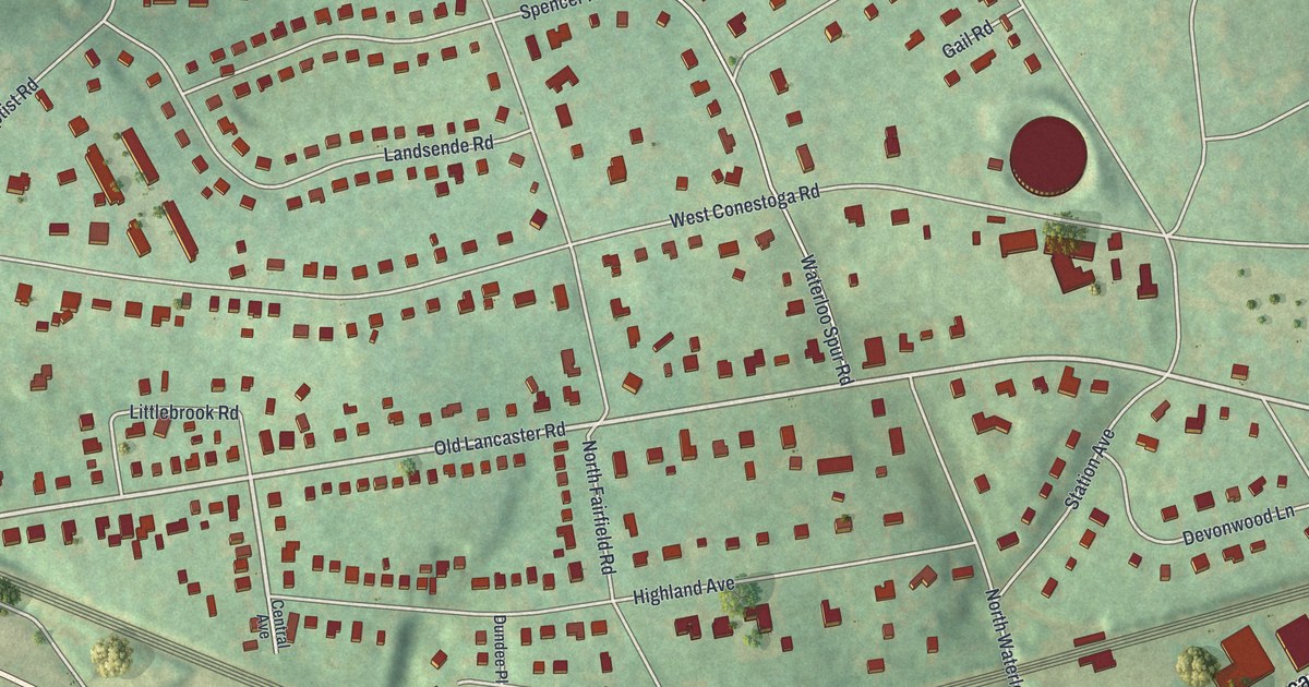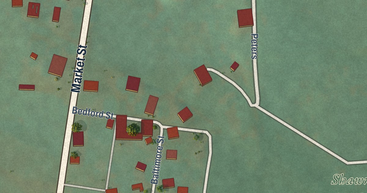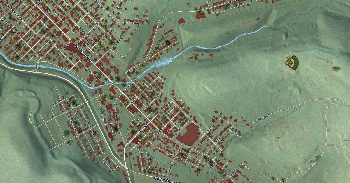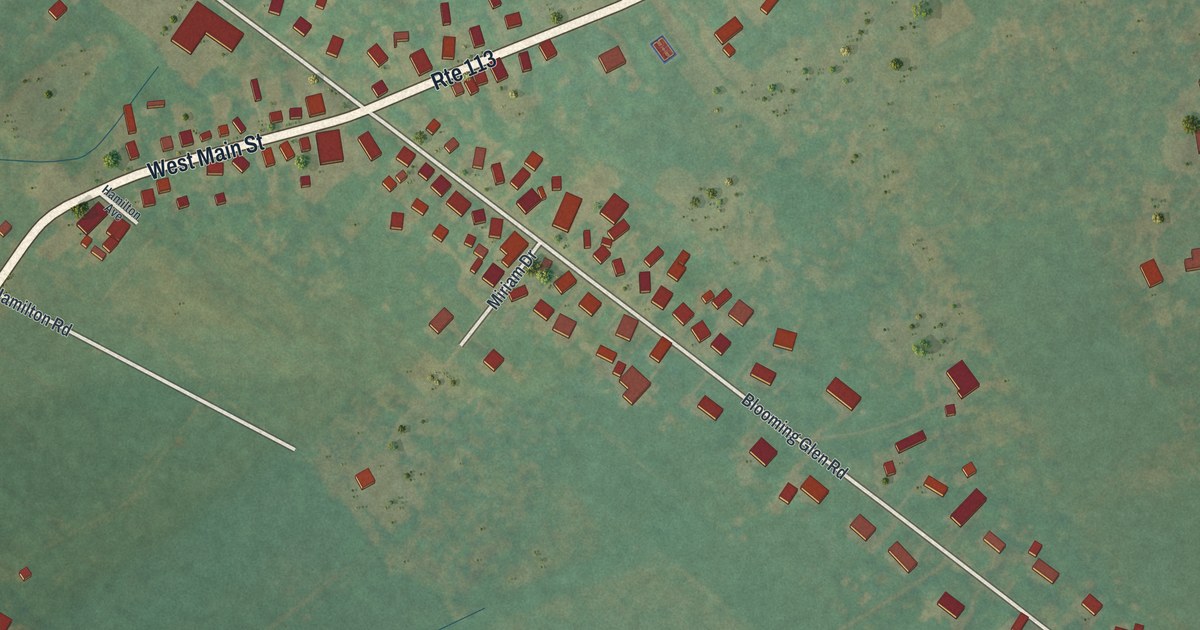
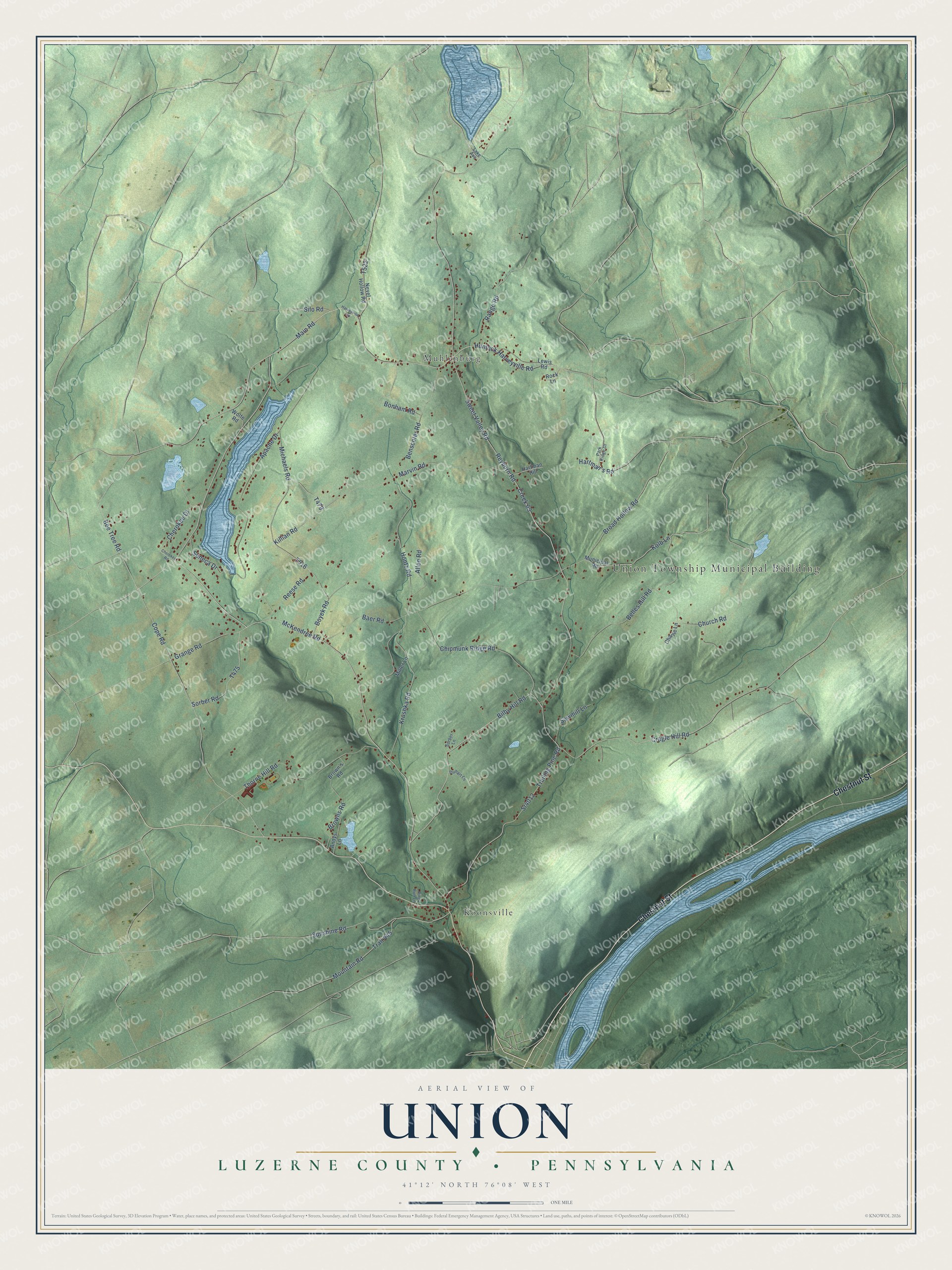
This beautifully detailed map of Union, Luzerne County, Pennsylvania was created in 2026 using aerial imagery combined with modern topographical, census, street and landmark data. It’s a one-of-a-kind view of Union that combines accurate data with a vintage aesthetic. The map shows every building in its true location, many of the roads carry their names, and the shaded topographic relief shows the shape of the land.
Explore an aerial view of Union, Luzerne County, Pennsylvania
On the map you’ll find Union Township Municipal Building, Koonsville, and Muhlenburg, along with Chestnut Street, Main Road, Bilby Hill Road, Reyburn Road, Hunlock Harveyville Road, Bonham Road, Broad Hollow Road, Killian Road, and more. If you look closely you can even find your house accurately drawn in its correct location. Zoom in on the preview to look for yours.
Did you know this piece of Union, Luzerne County, Pennsylvania history?
From the Pennsylvania Historical and Museum Commission: "This Indian path intersects here. It led from the Great Island (Lock Haven) past the Indian town of Muncy, and then it followed the gap between these mountains to join the Great Warriors Path at Shickshinny. This path was used by Count Zinzendorf in 1742 after leaving Otstonwakin (Montoursville). There he had met with Madame Montour to secure her help in introducing the gospel to tribes under her influence."
Take a closer look at the Union, Luzerne County map
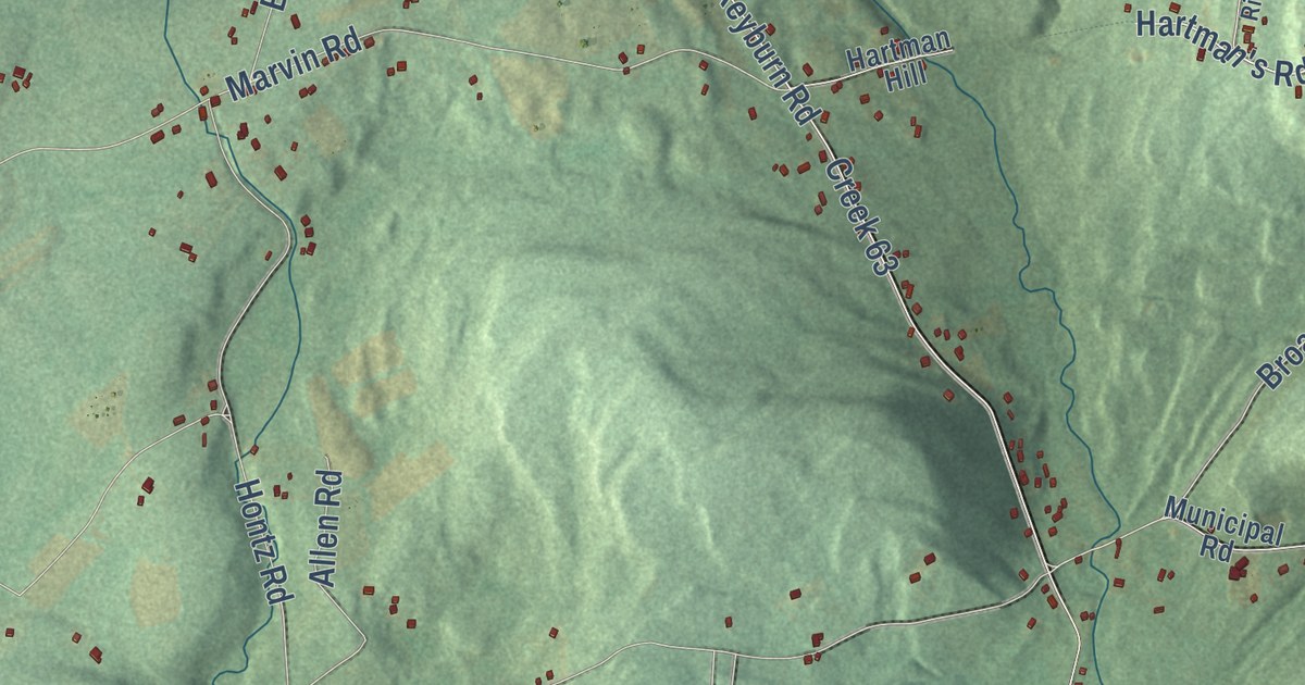
Street and place names on the Union, Luzerne County, Pennsylvania map
These names are printed on the map of Union, Luzerne County, Pennsylvania.
Places: Union Township Municipal Building, Koonsville and Muhlenburg.
Streets and roads: Chestnut Street, Main Road, Bilby Hill Road, Reyburn Road, Hunlock Harveyville Road, Bonham Road, Broad Hollow Road, Killian Road, Creek 63, Sweet Valley Road, McKendree Road, Apache Drive.
More street names, A to Z
Allen Road, Andys Lane, Baer Road, Bee Tree Road, Belles Hill Road, Benscoter Road, Boyek Road, Brown's Road, Browns Road, Charlie Lane, Cherokee Drive, Cherokee Road, Chipmunk Ridge Road, Church Road, Cope Road, Cragle Hill Road, Duhart Lane, Grange Road, Hartman's Road, Hartman Hill, Harveyville Road, Hontz Road, Kolb Lane, Krushka Road, Lake Avenue, Lewis Road, Marvin Road, Michaels Road, Miller Lane, Mountain Road, Municipal Road, Nevel Hollow Road, Park Ridge Drive, Pine Run Lane, Range Road, Reese Road, Rock Lane, Sawmill Lane, Seneca Drive, Silo Road, Sorber Lane, Sorber Road, Sr4012, Sunshine Road, Thorne Hill Road, Trail 445, Trailing Pine Road, Wolfe Road.
See the Union, Luzerne County, Pennsylvania map on a wall
The Union, Luzerne County map as an 18 x 24 inch print in a black frame.

This beautifully detailed map of Union, Luzerne County makes an attractive addition to your office, library, or den, and it can even be used to teach children the geography and history of the area. It also makes a great gift for anyone with Union roots. When you’re done exploring, click here to get your copy of the Union, Luzerne County map.