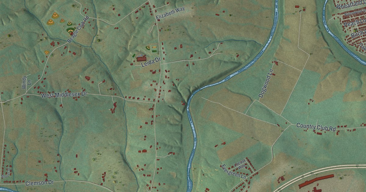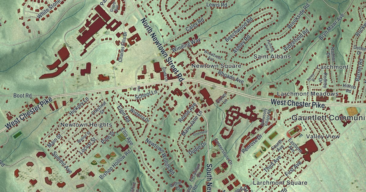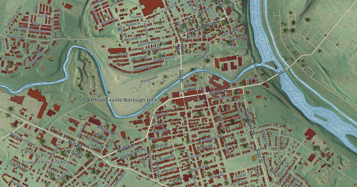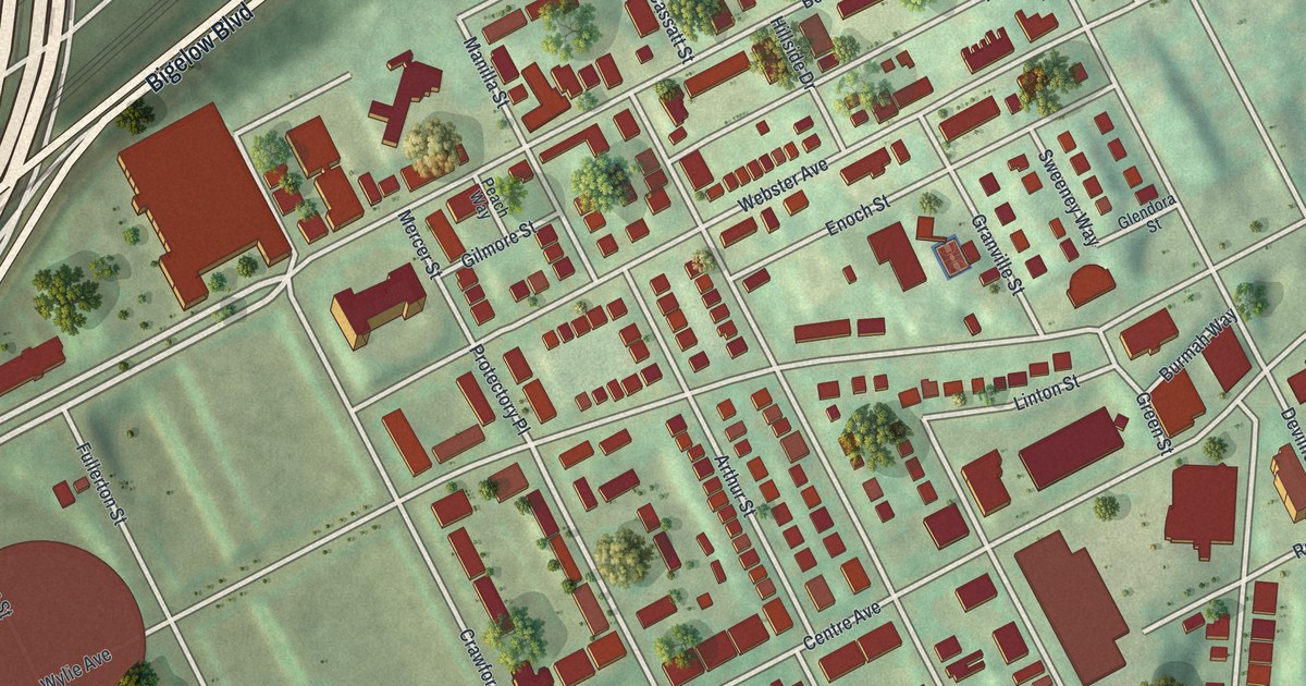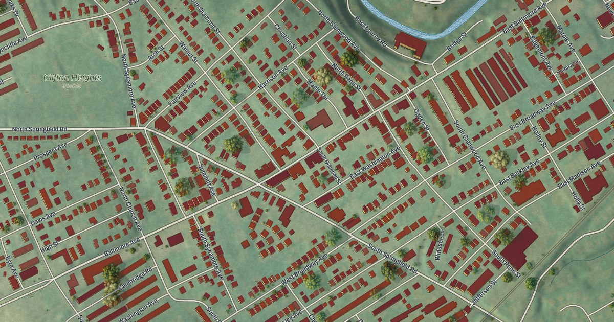
If you grew up in Clifton Heights or still call it home, this map shows the streets you know. It's a modern aerial view of Clifton Heights in Delaware County, Pennsylvania, made from modern data and given a vintage look. Rows of red buildings fill the borough. Green hills roll around the edges, and a blue creek curves across the top of the sheet.
Baltimore Avenue, Springfield Road and Your Block
On this map you'll find Baltimore Avenue, East Baltimore Avenue, North Springfield Road, South Springfield Road, Clifton Heights Fields, Kellyville, Bridge Street, Mill Street, Walnut Street, High Street, North Church Avenue, Edgemont Avenue, Marple Avenue, Cambridge Road, and more. Each red shape is a building, so zoom in on the preview and look for yours.
The Slinky Was Made in Clifton Heights
The Slinky was made right here. Richard James invented it in 1943, and his wife Betty gave it its name. James Industries made the toy in Clifton Heights until 1965. In 1960, Richard left his family. He gave Betty control of the company, and it was nearly bankrupt. Betty turned it into a business worth millions, with sales all over the world. In 2001, she joined the Toy Industry Hall of Fame. A state historical marker tells the story at 2 West Baltimore Pike, at Springfield Road. It calls the Slinky one of the most popular toys of the 20th century. To find the spot, look for North Springfield Road and South Springfield Road on the map.
The Lower Swedish Cabin on Creek Road
Clifton Heights has an older story too. The Lower Swedish Cabin stands on Creek Road. It was most likely built by Swedish settlers who came to this area after 1638. Several log cabins once stood along Darby Creek, and this is the only one of its type left. Siegmund Lubin, an early Philadelphia filmmaker, shot several movies there before 1910. The cabin is listed on the National Register of Historic Places.
Clifton Heights, From Kellyville to the Fields
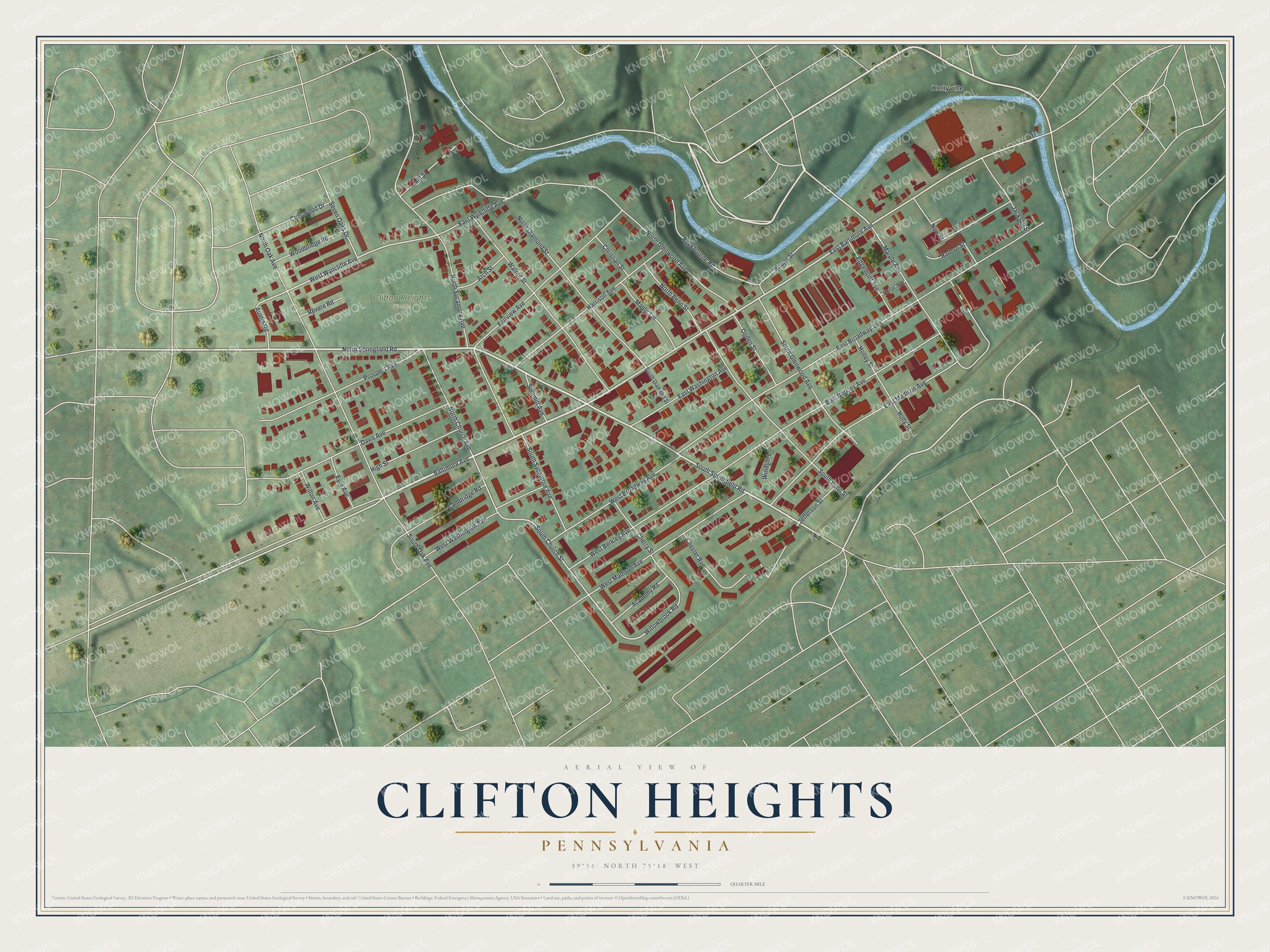
Created by KNOWOL in 2026, this print shows Clifton Heights from above. Red buildings pack the streets, soft green hills rise around the town, and a blue creek winds across the top. The cream title panel reads Aerial View of Clifton Heights, Pennsylvania, with the coordinates 39°56' North 75°18' West.
It fits a living room, a front hall or a home office. It's a good gift for anyone who knows Clifton Heights Fields and Baltimore Avenue, or for family who moved away and miss the old block. Open the preview and look for the streets you know. See sizes and frames for the Clifton Heights map.