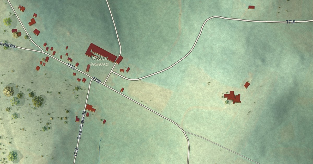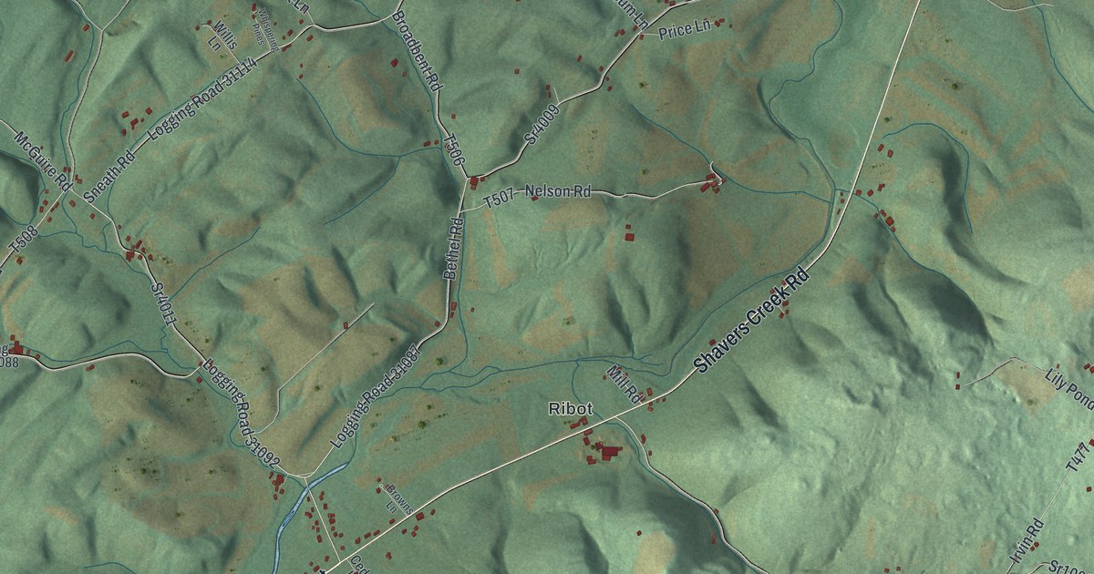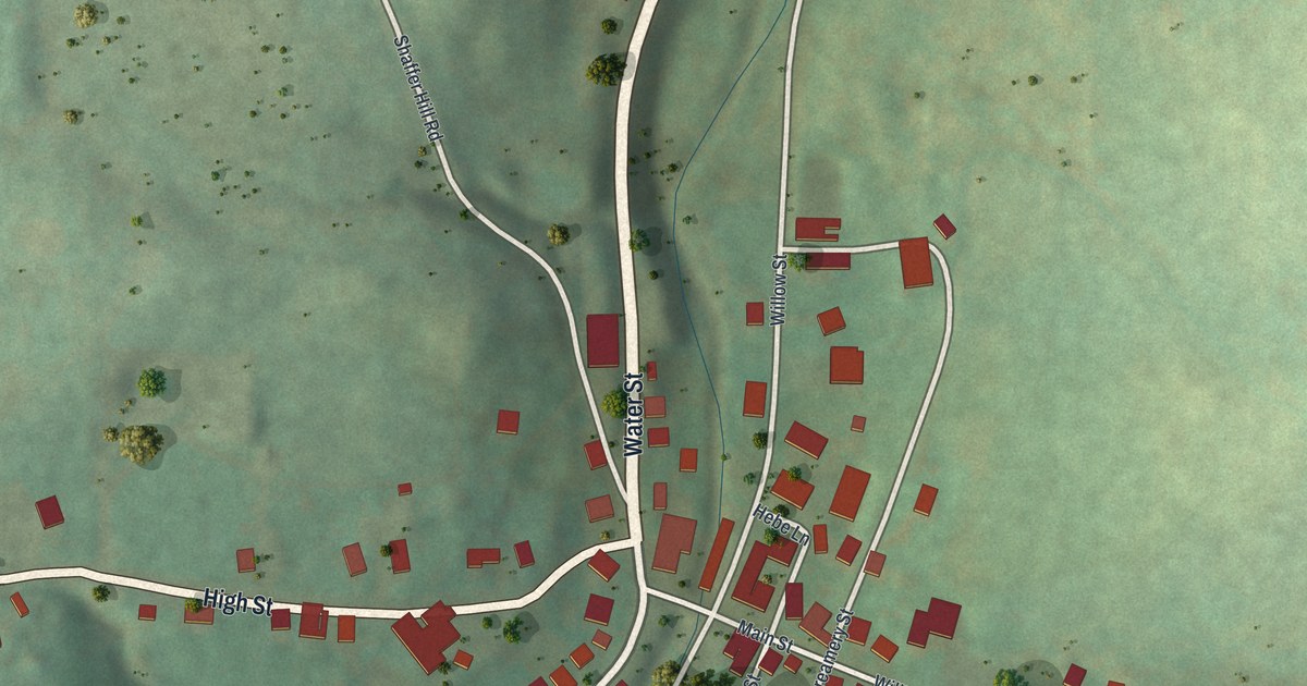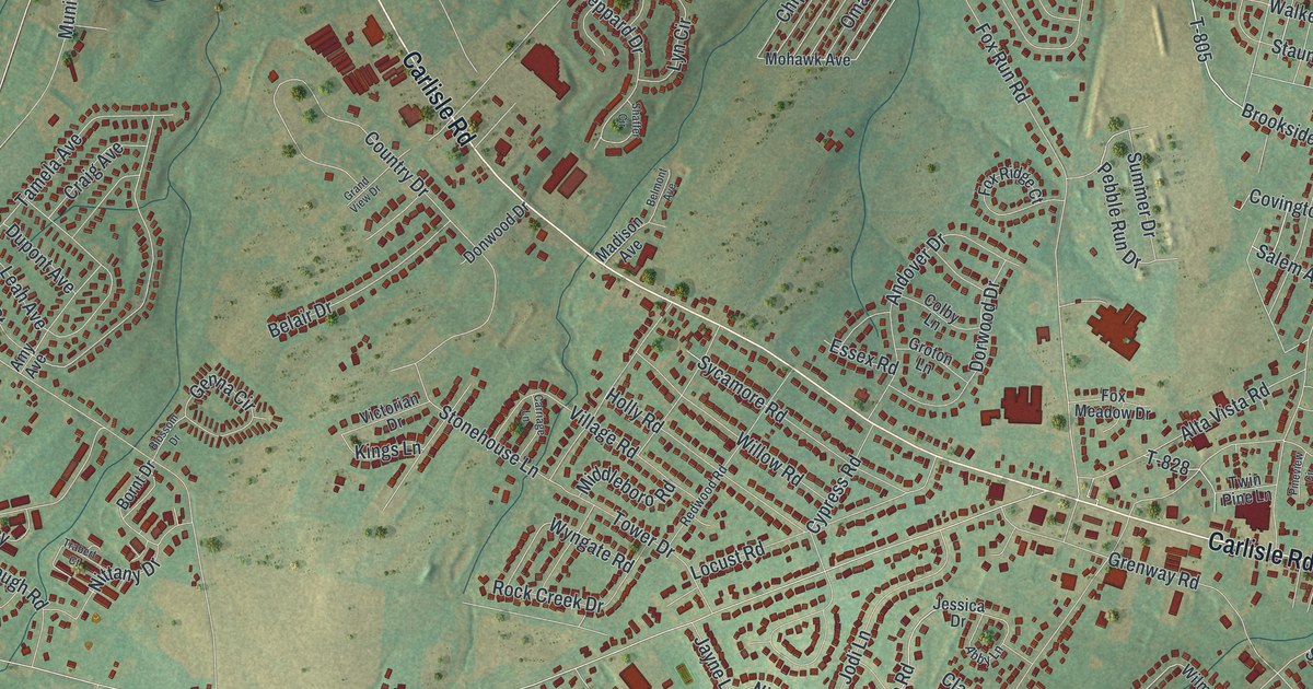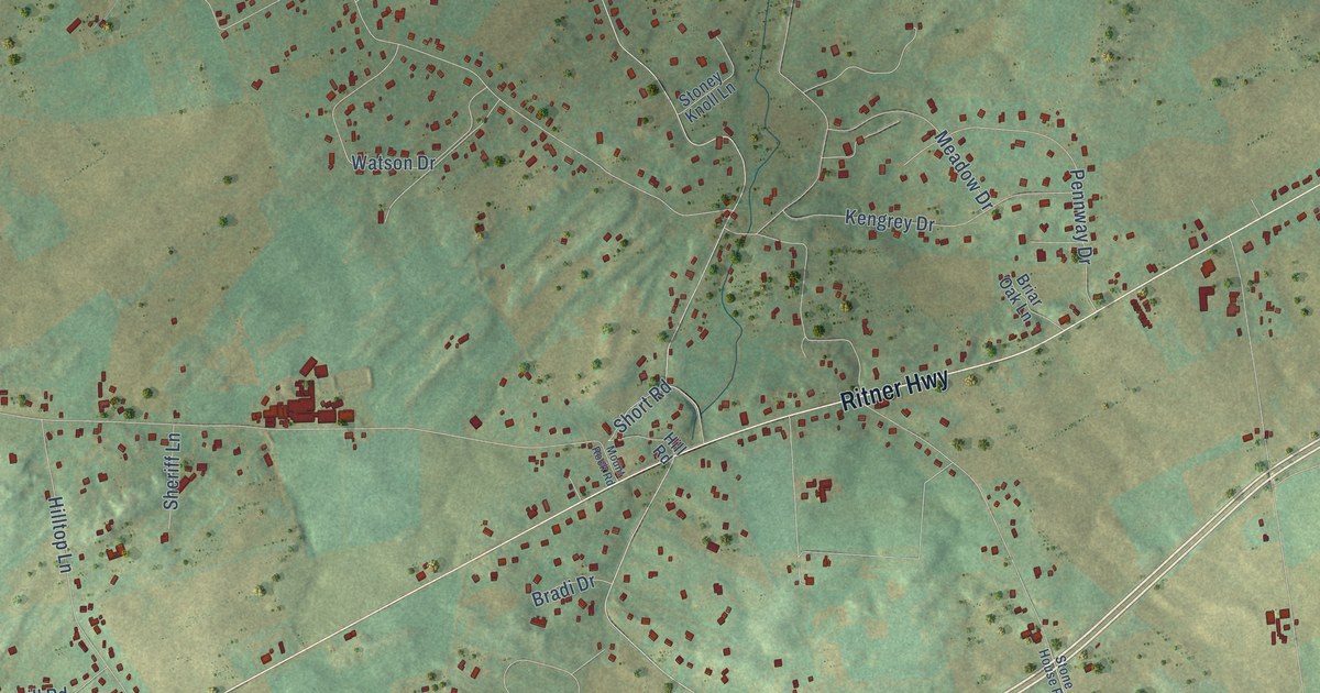
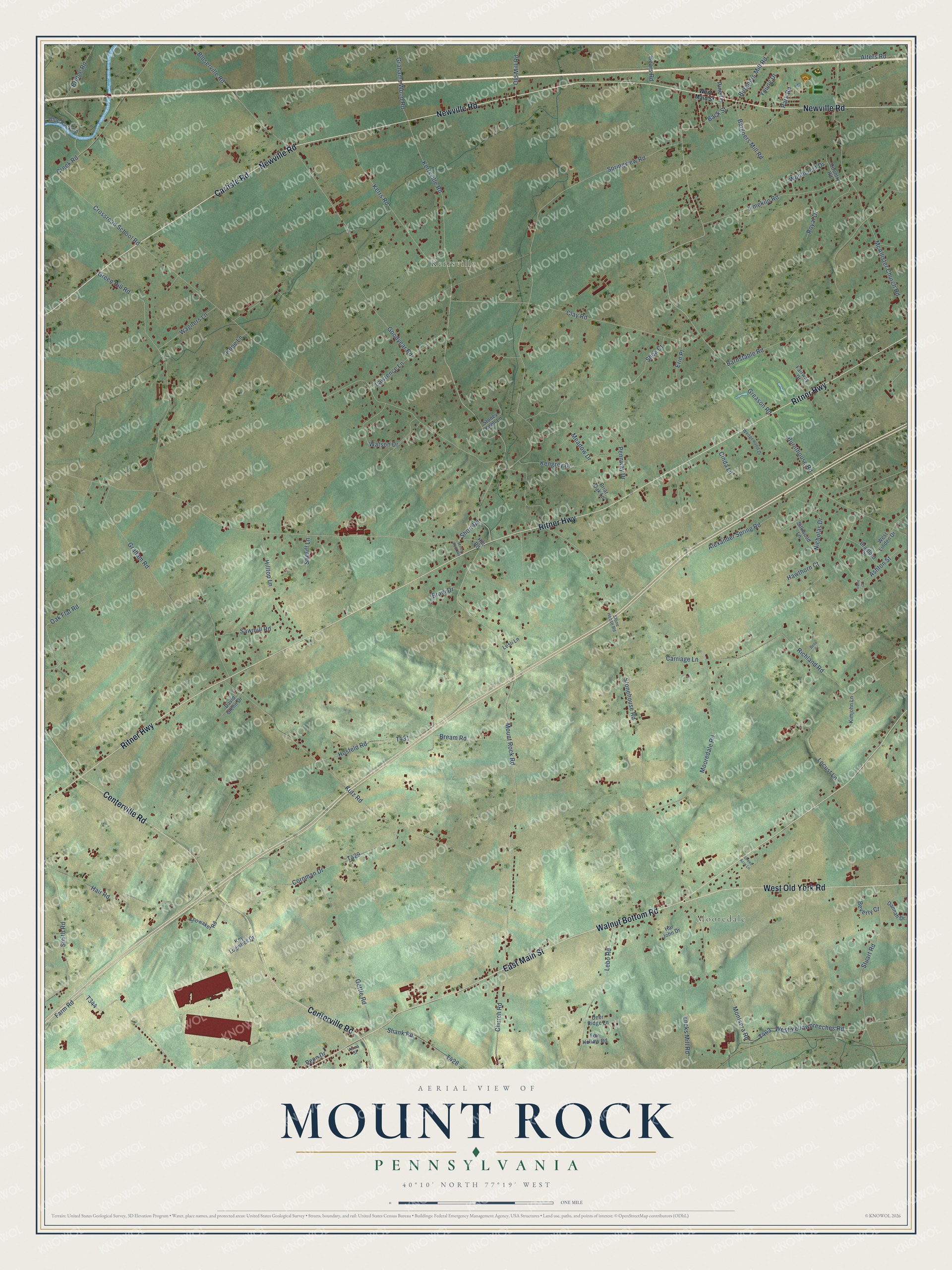
This beautifully detailed map of Mount Rock, Pennsylvania was created in 2026 using aerial imagery combined with modern topographical, census, street and landmark data. It’s a one-of-a-kind view of Mount Rock that combines accurate data with a vintage aesthetic. The map shows every building in its true location, many of the roads carry their names, and the shaded topographic relief shows the shape of the land.
Explore an aerial view of Mount Rock, Pennsylvania
On the map you’ll find Mooredale and Kerrsville, along with Carlisle Road, Ritner Highway, Walnut Bottom Road, Newville Road, Centerville Road, East Main Street, West Old York Road, Stuart Road, Oak Flat Road, Greason Road, and more. If you look closely you can even find your house accurately drawn in its correct location. Zoom in on the preview to look for yours.
Did You Know?
From Internet Archive: "The lands, therefore, which lay upon the Big Spring on the west, the Conodoguinet on the north, the Mount Rock Spring on the south, or McAllister's Run, seem to be those which were first settled by the early pioneers."
Mount Rock is a community in Cumberland County.
Take a closer look at the Mount Rock map
Names on this map
These names are printed on this map.
Places: Mooredale and Kerrsville.
Streets and roads: Carlisle Road, Ritner Highway, Walnut Bottom Road, Newville Road, Centerville Road, East Main Street, West Old York Road, Stuart Road, Oak Flat Road, Greason Road, Back Street, West Yellowbreeches Road.
More street names, A to Z
Alexander Spring Road, Alters Road, Ashton Street, Bargners Mill Road, Barnstable Road, Bears Road, Belle Drive, Beverly Court, Bloserville Road, Blue Rock Road, Bradford Place, Bradi Drive, Bream Road, Briar Oak Lane, Bridge Road, Burgners Mill Road, Burnthouse Road, Carriage Lane, Church Road, Cinda Lane, Clay Road, Cornman Drive, Country Road, Creek Road, Crossroad School Road, Dannah Drive, David Glenn Drive, Deer Ridge Lane, Encks Mill Road, Erin Place, Fairway Drive, Farm Road, Fox Hollow Road, Gettle Road, Goodyear Road, Graham Road, Grahams Wood Road, Green Acre Lane, Green Hill Road, Hair Road, Har John Drive, Hawthorn Court, Hill Road, Hilltop Lane, Hope Lane, Hosfeld Road, Irene Court, Kengrey Drive, Kerrs Road, Kerrsville Road, Key Logistics Drive, Kimjohn Lane, Kutz Road, Lawrence Lane, Lebo Road, Lesli Lane, Limekiln Road, Locust Lane, McAllister Church Road, Meadow Drive, Montsera Road, Mooredale Road, Mount Rock Road, Nicholas Drive, Old Mill Road, Park Road, Penn Drive, Pennway Drive, Pine Lane, Richland Road, Royal Drive, Sawmill Road, Shank Road, Shea Court, Sheriff Lane, Short Road, Showaker Road, Silkwood Lane, Smith Road, Springview Road, Stonehouse Road, Stone House Road, Stoney Knoll Lane, Verna Street, Wagners Lane, Watson Drive, Wedgewood Drive, West Linden Drive, West Main Street, Woodcrest Drive, Young Drive.
See it on a wall
The Mount Rock map as a framed print. Swipe for more.


This beautifully detailed map of Mount Rock makes an attractive addition to your office, library, or den, and it can even be used to teach children the geography and history of the area. It also makes a great gift for someone who left Mount Rock and still calls it home. When you’re done exploring, click here to get your copy of the Mount Rock map.