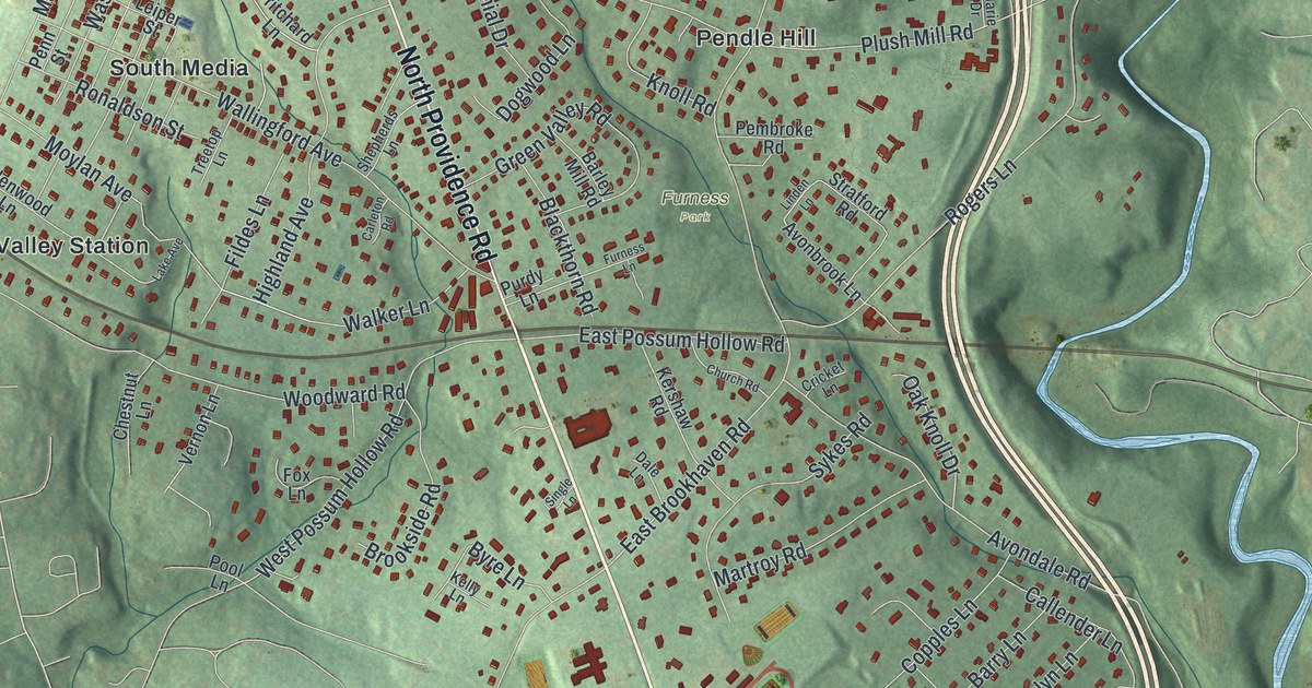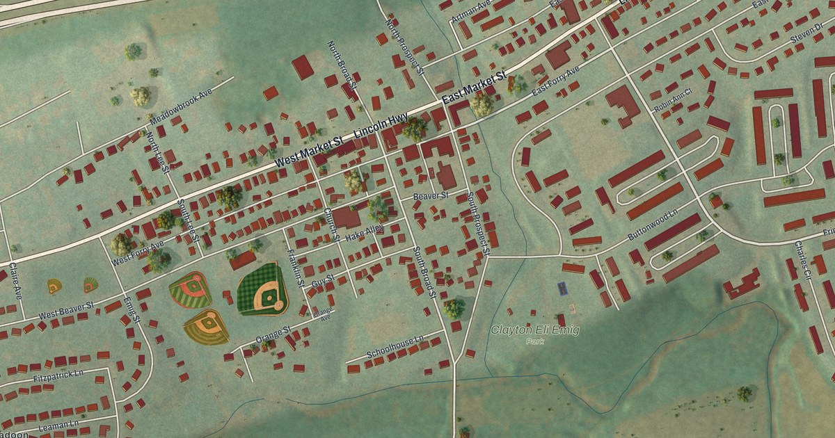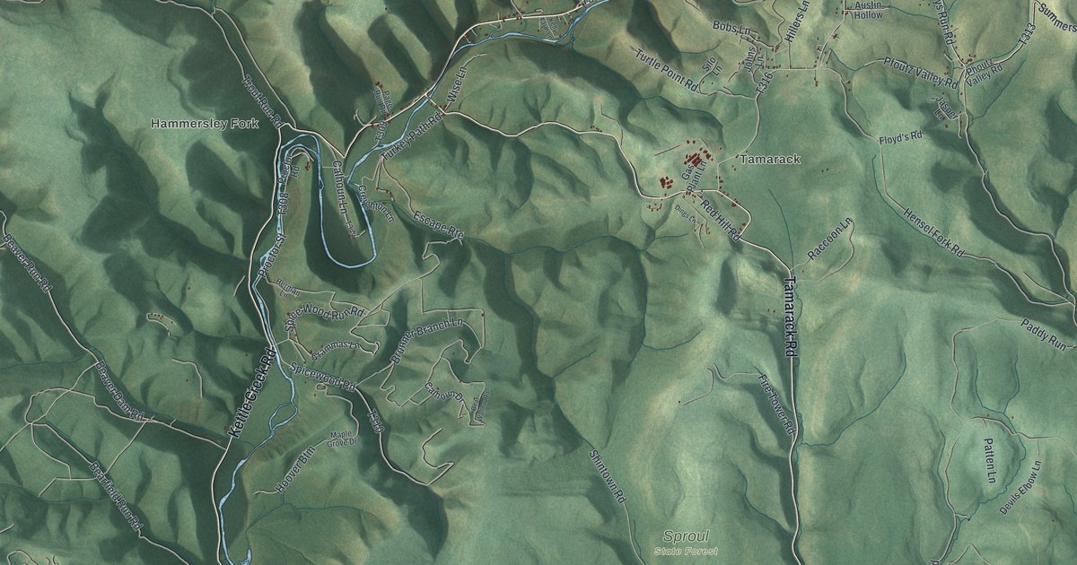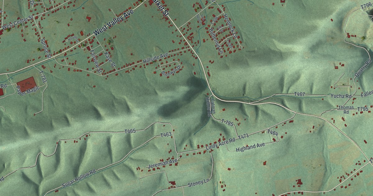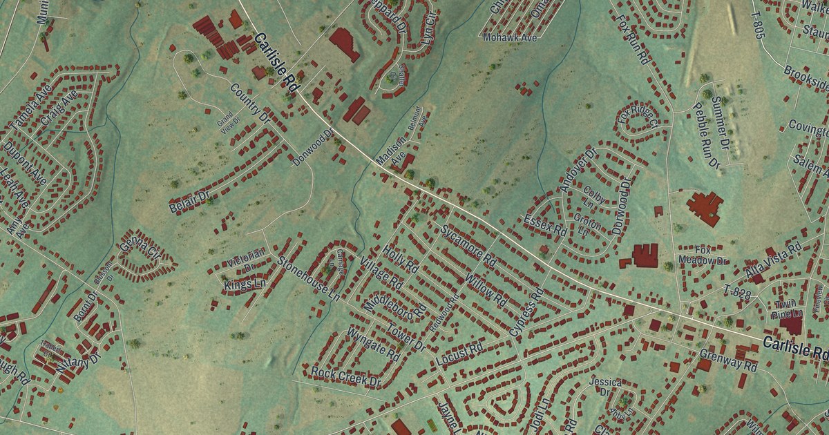
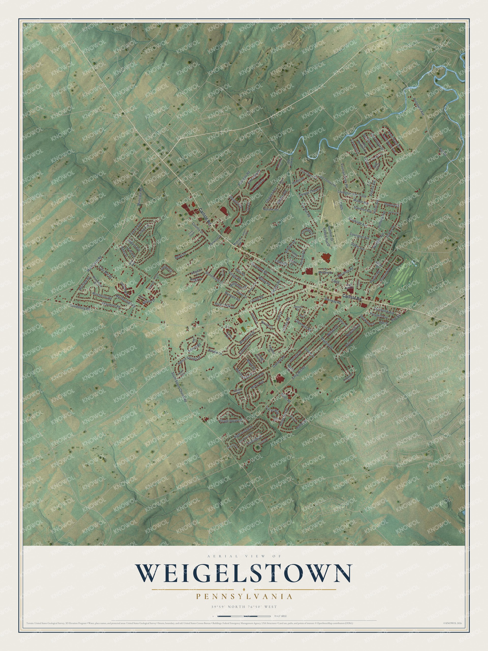
This beautifully detailed map of Weigelstown, Pennsylvania was created in 2026 using aerial imagery combined with modern topographical, census, street and landmark data. It's a modern aerial view of Weigelstown in York County, Pennsylvania, that combines modern data with a vintage aesthetic. The roads feature printed names, and if you look closely you can find your exact house accurately shown in its correct location.
Explore an aerial view of Weigelstown, Pennsylvania
On this map you'll find Lehr Park, Carlisle Road, Brookside Avenue, Lexington Avenue, T-805, Honey Run Drive, Night in Gale Drive, Fox Run Road, Danielle Drive, South Salem Church Road, Davidsburg Road, Emig Mill Road, and more. Each red shape is a building, so zoom in on the preview and look for yours.
Weigelstown has a story worth telling. Weigelstown was founded by the Weigels, an old York County family. John Valentine Hamme, who sailed from Rotterdam and took the oath of allegiance at Philadelphia in 1743, took up 333 acres in Dover Township next to the village on its north side, and his descendants still held that land in 1907. That's from the History of York County (1907).
Weigelstown is a community in York County. The Census Bureau counted 15,136 people here in 2020.
Take a closer look at the Weigelstown map
Names on this map
These names are printed on this map.
Places: Lehr Park.
Streets and roads: Carlisle Road, Brookside Avenue, Lexington Avenue, T-805, Honey Run Drive, Night in Gale Drive, Fox Run Road, Danielle Drive, South Salem Church Road, Davidsburg Road, Emig Mill Road, Hilton Avenue.
More street names, A to Z
Abby Lane, Admire Road, Admire Springs Drive, Alta Vista Road, Amy Avenue, Andover Drive, Anita Drive, Anthony Way, Ashcombe Drive, Baker Road, Barley Circle, Beaumont Road, Belair Drive, Belmont Avenue, Berkshire Lane, Blossom Drive, Blue Jay Drive, Bornt Drive, Boxwood Court, Bull Road, Cardinal Lane, Carriage Lane, Cherokee Avenue, Chipawa Avenue, Clair Mar Drive, Claremont Road, Colby Lane, Condor Lane, Country Drive, Covington Avenue, Craig Avenue, Cypress Road, Deerfield Drive, Donwood Drive, Dorwood Drive, Dupont Avenue, East Farm Drive, East Pheasant Drive, Englewood Court, Essex Road, Faire Wynd Place, Falcon Lane, Fountain Rock Road, Fox Chase Drive, Fox Meadow Drive, Fox Ridge Court, Genna Circle, Glen Hollow Drive, Grandview Avenue, Grand View Drive, Grenway Road, Groton Lane, Hadley Drive, High Street, Hikey Street, Hilltop Drive, Hoffeins Avenue, Holly Road, Hull Avenue, Hunter Drive, Imperial Drive, Jayne Lane, Jessica Drive, Jessica Road, Jodi Lane, Kiersten Drive, Kimberly Lane, Kings Lane, Kortni Drive, Lauer Lane, Leah Avenue, Locust Road, Long Meadow Drive, Lyn Circle, Madison Avenue, Maple Road, Marlborough Road, Mayfield Drive, Meadowview Drive, Middleboro Road, Milky Way, Mohawk Avenue, Muirfield Road, Municipal Road, Natalie Lane, Nicole Court, Nittany Drive, North Wynd Avenue, Oakland Road, Oakley Drive, Old Trolley Line, Old York Road, Omaha Avenue, Orchid Way, Palomino Road, Partridge Drive, Pebble Run Drive, Pine Road, Pineview Circle, Pineview Drive, Poplars Road, Prospect Avenue, Redwood Road, Rock Creek Drive, Roosevelt Avenue, Rye Court, Salem Avenue, Sedgewick Avenue, Shaffer Circle, Sheppard Drive, Sherwood Lane, Solar Drive, Spangler Avenue, Staunton Avenue, Steeple Chase Drive, Stonehouse Lane, Summer Drive, Sundial Road, Sunshine Drive, Sycamore Road, T-508, T-828, Tamela Avenue, Tara Lane, Tonys Drive, Tower Drive, Trabert Court, Tracys Way, Twin Pine Lane, Victorian Drive, Village Court Drive, Village Road, Village Square Drive, Virginia Avenue, Walker Avenue, West Canal Road, Westly Drive, Wheatland Drive, Willapa Drive, Willow Road, Wilmar Drive, Winchester Road, Wooster Drive, Wyngate Road, Wynnefield Drive.
See it on a wall
The Weigelstown map as a framed print. Swipe for more.


Created by KNOWOL in 2026. The buildings are small red shapes, the roads carry their printed names, and shaded relief shows the shape of the land. The title panel reads "AERIAL VIEW OF WEIGELSTOWN, PENNSYLVANIA" with 39°59' NORTH 76°50' WEST.
It looks right in a kitchen, an office or a den, and it's a gift for anyone who grew up in Weigelstown or moved away. Open the preview and find your street. See sizes and frames for the Weigelstown map.