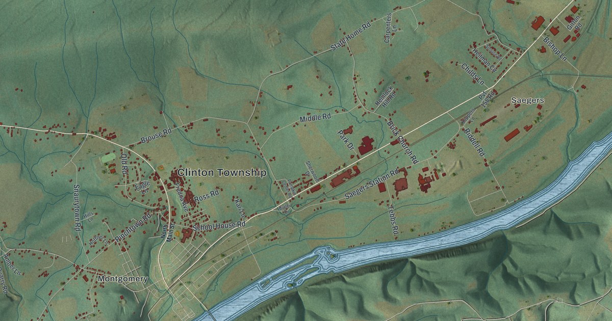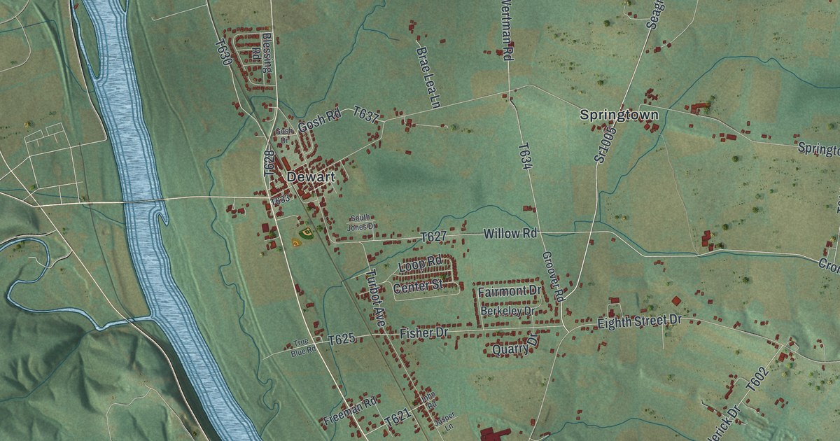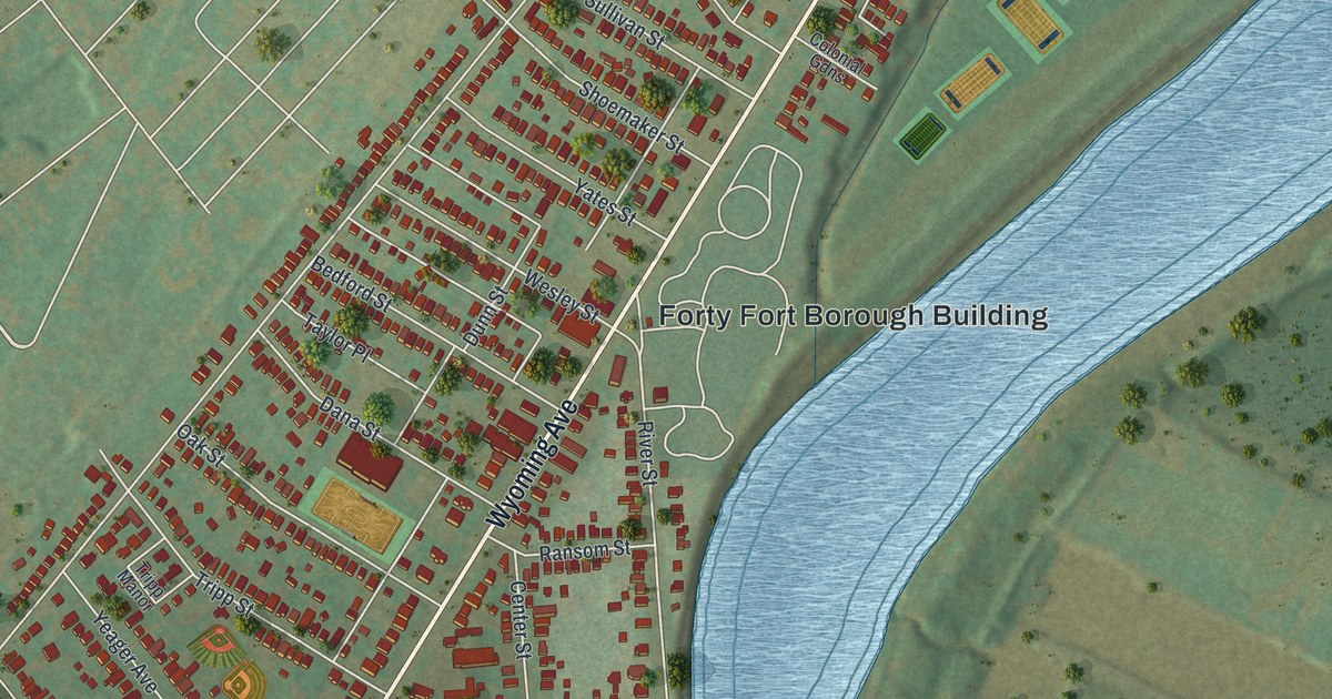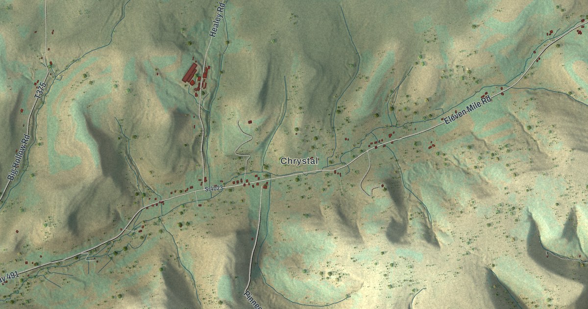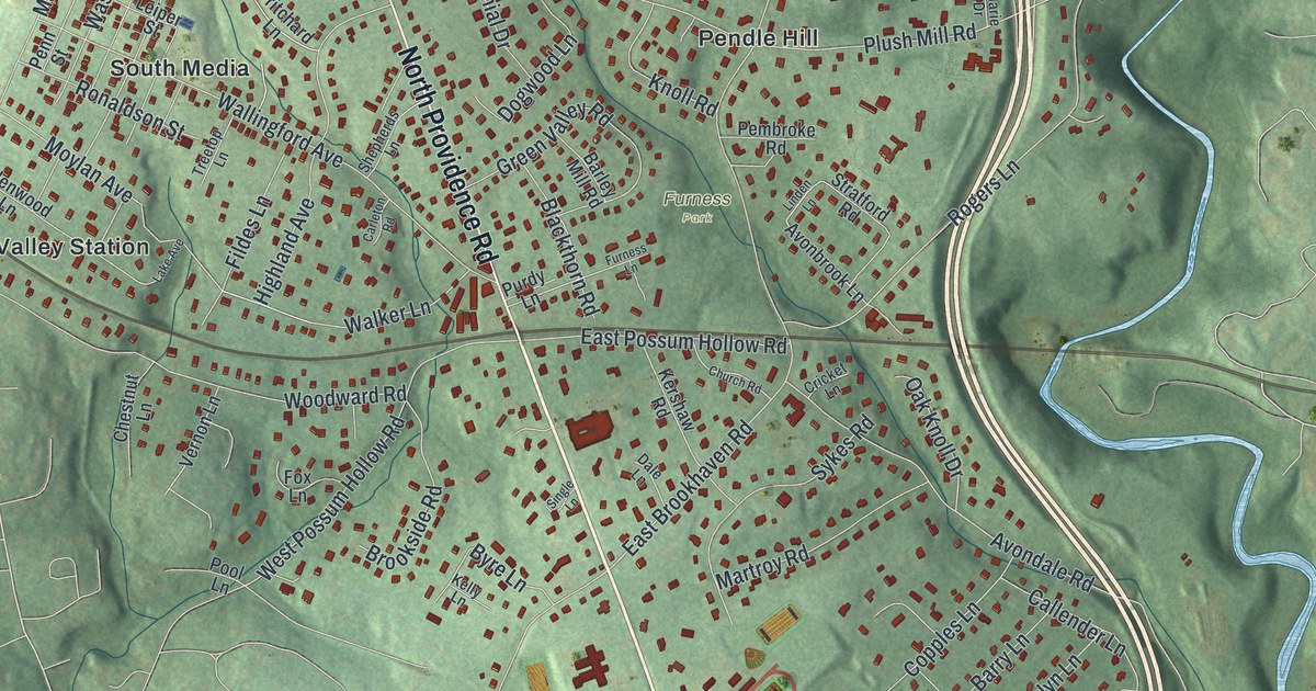
If you grew up in Wallingford or Garden City, or still have family on a street off North Providence Road, this map gives you plenty to find. It's a modern aerial view of Nether Providence Township in Delaware County, Pennsylvania, built from modern data and given a vintage artistic look. The township runs as a long green strip between two winding blue creeks, with thousands of buildings drawn in dark red. It reaches from Pine Ridge and Bowling Green at the top down to Garden City and Putman Village at the bottom.
Baltimore Pike, Wallingford and Garden City
On this map you'll find Baltimore Pike, Chester Road, North Providence Road, South Providence Road, Wallingford, Garden City, Pendle Hill, The Springhaven Club, Furness Park, Smedley Park, Plush Mill Road, Rose Valley Road, Bullens Lane, Pine Ridge, and more. Each red shape is a building, so zoom in on the preview and look for yours.
The Leiper Railway at Bullens Lane and Glen Road
In 1809 and 1810, Thomas Leiper built a railway through Nether Providence. It hauled stone from quarries on Crum Creek to a landing on Ridley Creek, about three quarters of a mile away. John Thomson surveyed the line. A state historical marker says it was the first railway in Pennsylvania, and the first in America to be surveyed. The marker stands where Bullens Lane meets Glen Road, near South Providence Road, because the railway crossed the road there. Two blue creeks wind along opposite sides of the map. The Thomas Leiper Estate on Avondale Road is listed on the National Register.
Providence on the map
Look for Providence just west of South Providence Road, below Wallingford on the print.
From Pine Ridge down to Garden City

Created by KNOWOL in 2026, this map of Nether Providence shows the township's streets, buildings and wooded hills in soft greens, with the creeks in blue. The shaded hills come from USGS elevation data. The title panel reads "Aerial View of Nether Providence, Pennsylvania" with the coordinates 39°54' North, 75°22' West.
It suits a family room, a home office or a front hall. It's a thoughtful gift for someone who grew up near The Springhaven Club or Pendle Hill, or for anyone who moved away from Wallingford. Open the preview, zoom in and find the street you know. See sizes and frames for the Nether Providence map.