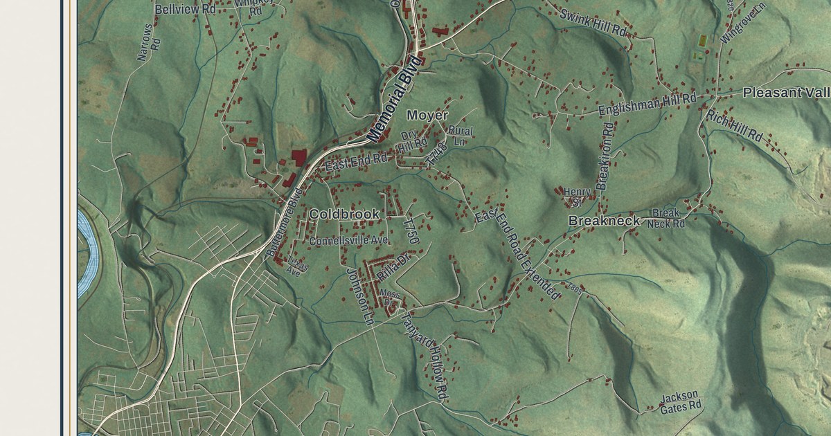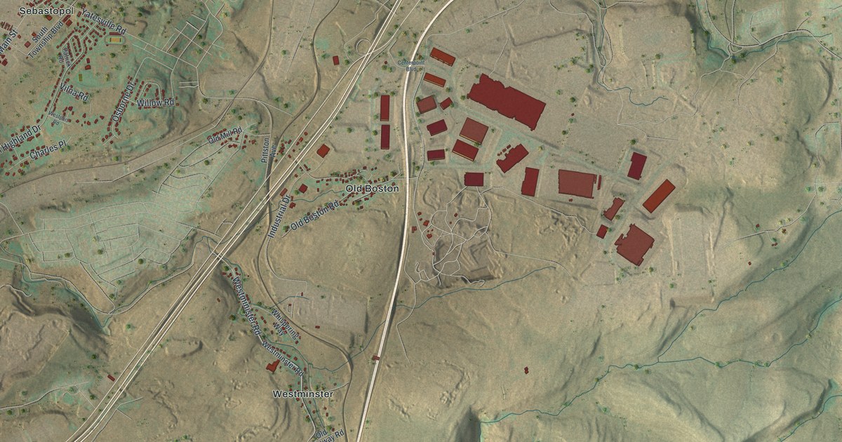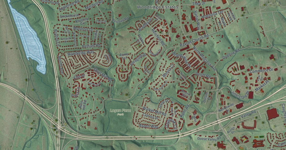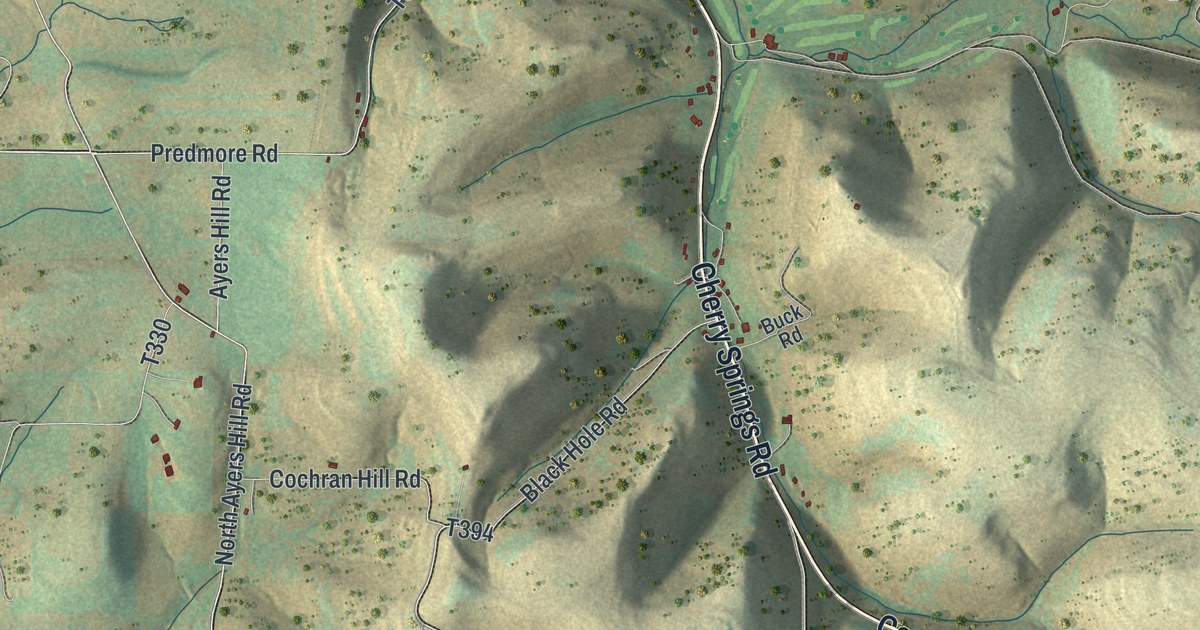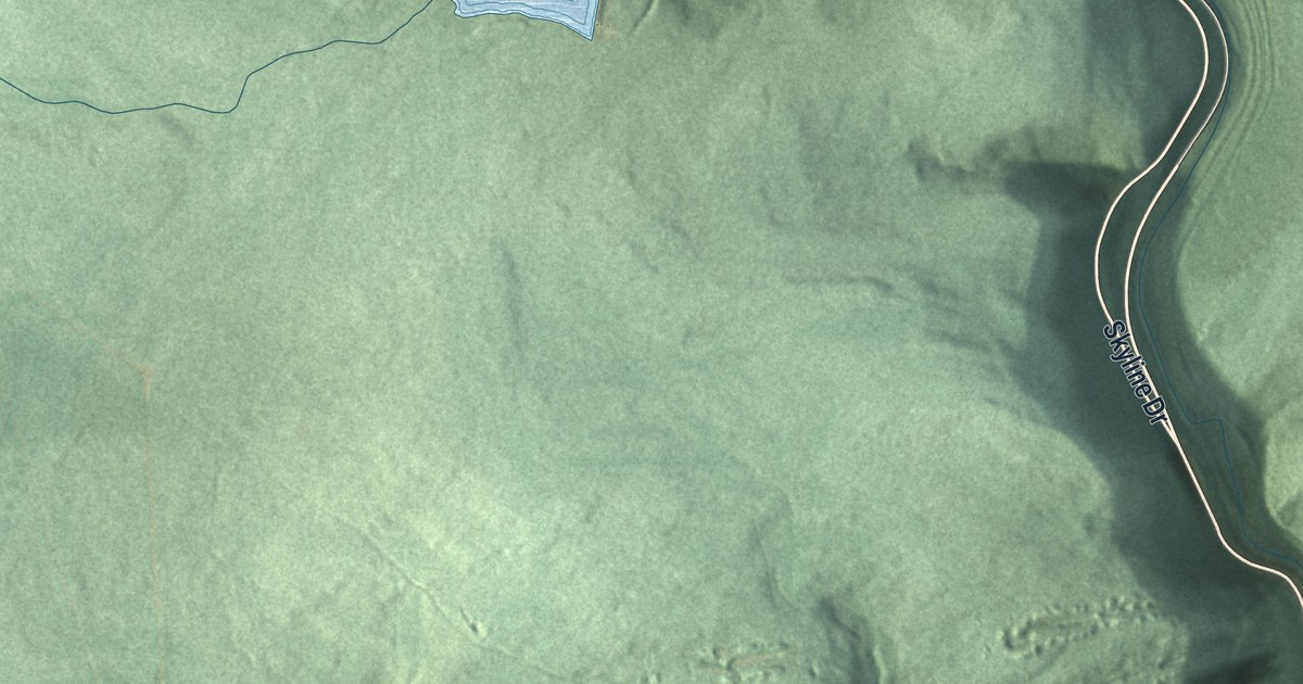
If you grew up in Wadesville, Mount Laffee or Arnots Addition, this map will feel like home. It's a modern aerial view of New Castle Township in Schuylkill County, Pennsylvania, drawn from modern data and given a vintage look. Green ridges fill most of the sheet. A highway curves down through a deep green valley. Blue ponds sit up on the high ground, and the villages gather near the bottom.
The first settlers of New Castle Township
On this map you'll find Wadesville, Mount Laffee, Arnots Addition, Mall Road, Votech Road, Schuylkill Road, Skyline Drive, East Wade Road, West Wade Road, Peach Mountain Road, Darkwater Road, South Repplier Road, West Mount Laffee Road, Greenbury Road, Broad Street, and more. Each red shape is a building, so zoom in on the preview and look for yours.
The township was organized in 1847, says the 1881 History of Schuylkill County. Its first settlers came about 1800. Jacob Yoh settled on the turnpike, at the end of the road west from Wadesville. John Boyer built his home to the north, on the road from Wadesville to Mount Laffee. A settler named Allen lived at the Big Spring, on top of Broad Mountain. His home was known as the "Black cabin." Yoh's son William built the first tavern in the township, about 1810.
How Wadesville got its name
Wadesville was laid out about 1830. It was named for Captain John Wade, a coal operator. The village grew up around the many mines worked in and near it. George Phillips probably first mined coal nearby before 1828. The Flowery Field colliery sat northwest of the village. In 1835 it shipped 35 tons of coal a day. Today you can find Wadesville near the bottom of the map, with West Wade Road and East Wade Road close by.
Flowery Field and the Mount Laffee school
The Flowery Field name went on the township's first school, too. It was built on the turnpike in 1828. It was 20 by 25 feet and had slab seats. By 1881 there were six schools. The one at Mount Laffee was built in 1878. It had two rooms and stood in a grove of trees.
Wadesville, Mount Laffee and Arnots Addition on your wall

Created by KNOWOL in 2026, this print shows New Castle Township in soft greens and shaded hills, with blue ponds and red buildings. The title panel reads "AERIAL VIEW OF NEW CASTLE," with "SCHUYLKILL COUNTY • PENNSYLVANIA" and "40°45' NORTH 76°13' WEST" below it.
It suits a living room, a den or a hallway where family photos hang. It's a good gift for someone who grew up in Wadesville and moved away, or for anyone whose family worked the coal around Wadesville. Open the preview and find your road. See sizes and frames for the New Castle, Schuylkill County map.