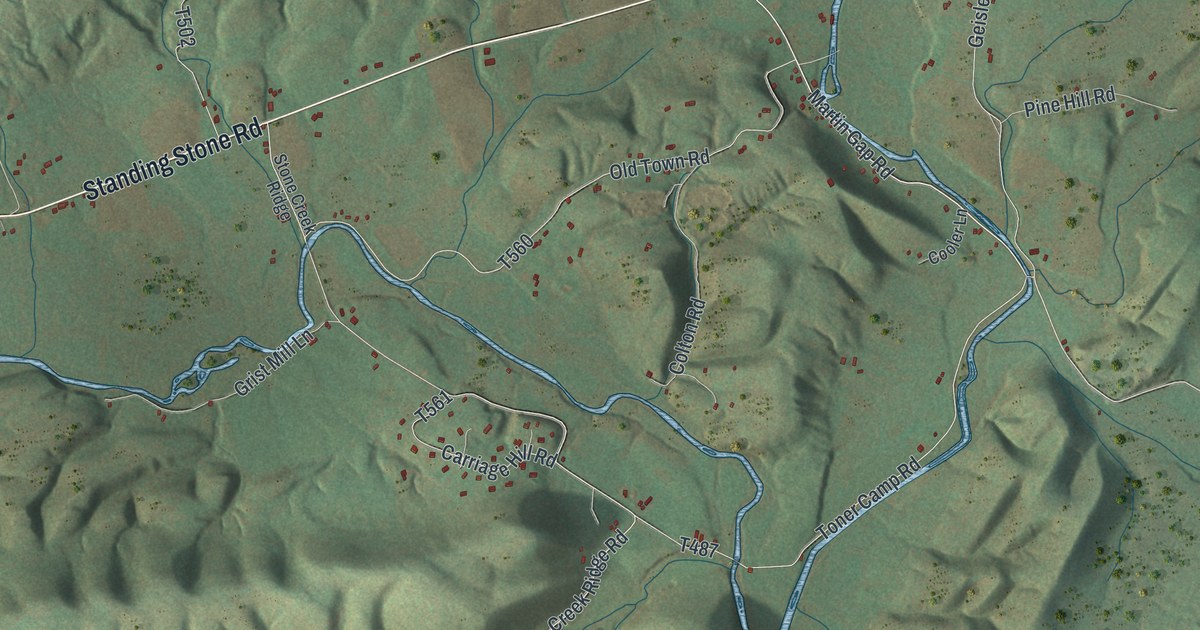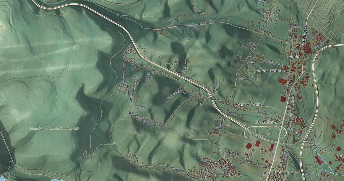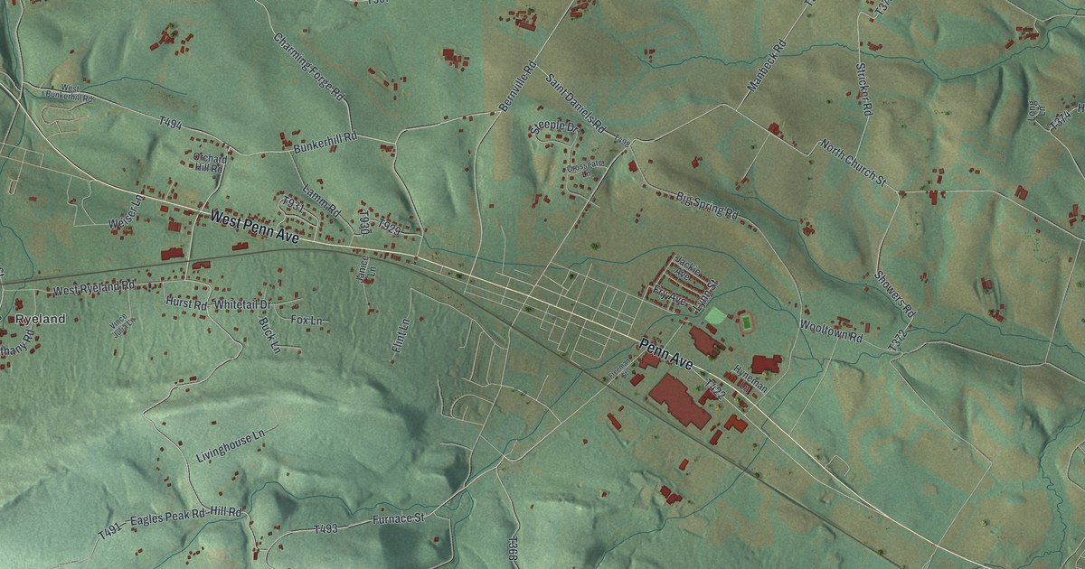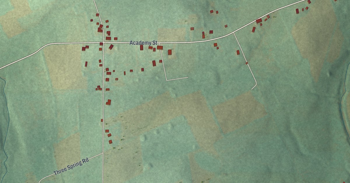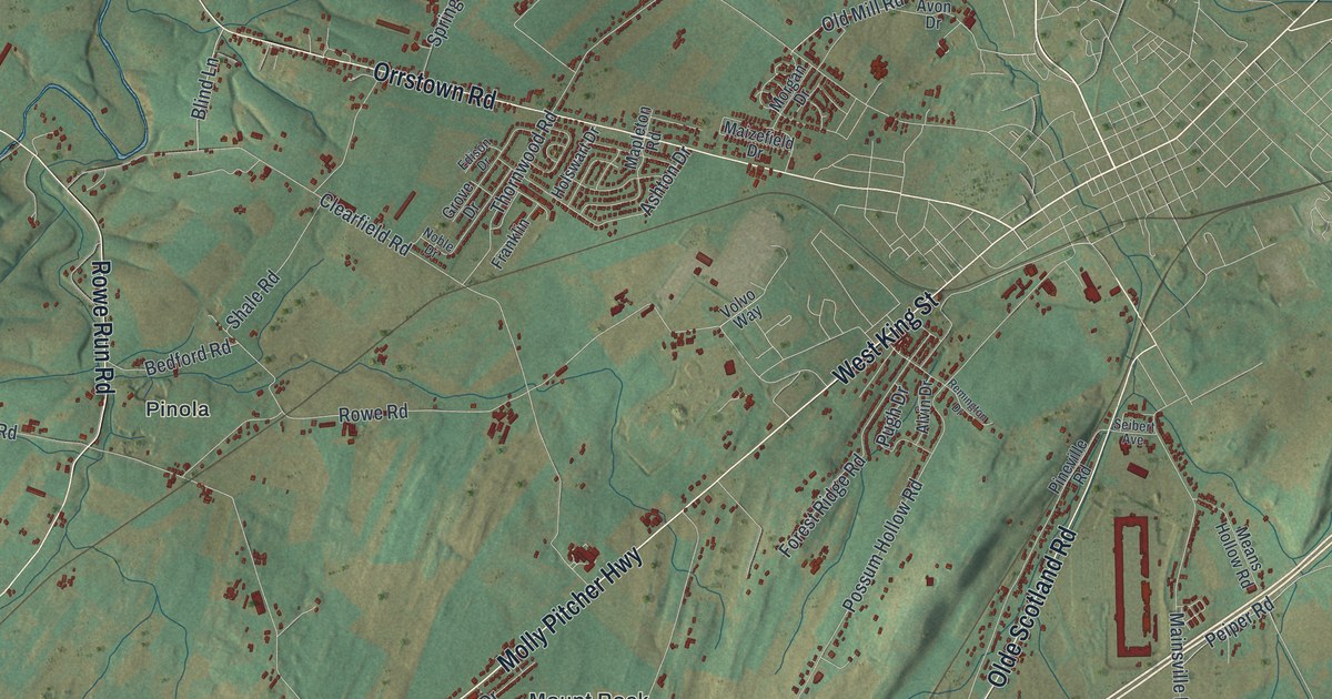
If you grew up along Orrstown Road, out near Mainsville, or on a farm lane west of Shippensburg, this map is for you. It's a modern aerial view of Southampton Township in Franklin County, Pennsylvania, made from modern data and given a vintage look. You'll see Orrstown, Pinola, Mount Rock, Mainsville and Middle Spring spread across green farm fields. Blue creeks wind through the top left, and the steep slopes of Michaux State Forest fill the bottom right corner.
West King Street and the West End of Shippensburg
On this map you'll find Orrstown Road, Molly Pitcher Highway, West King Street, Olde Scotland Road, Mainsville Road, Rowe Run Road, Maclays Mill Road, Mongul Hill Road, Orrstown, Mount Rock, Mainsville, Pinola, Middle Spring, Michaux State Forest, and more. Each red shape is a building, so zoom in on the preview and look for yours.
Southampton reaches right up to the west end of Shippensburg. A state marker stands there on West King Street. It was put up in 1948 by the Pennsylvania Historical and Museum Commission. It says Edward Shippen founded the town in 1730. It calls Shippensburg the second oldest town in the state west of the Susquehanna River. It was an important place on the colonial frontier. For a short time, it was even the seat of Cumberland County. The county's first courts met there in 1750 and 1751. On the map, West King Street sits just left of the busy grid of streets near the center.
McClay's Twin Bridges near Middle Spring
Up near Middle Spring, two bridges stand side by side and carry a road over the water. They're known as McClay's Twin Bridges. The west bridge crosses Conodoguinet Creek, and the east bridge crosses a stream that feeds it. Both were added to the National Register of Historic Places in 1988. Middle Spring has deep roots of its own. A state marker says Scotch-Irish Presbyterian settlers started Middle Spring Church in 1738. The church that stands today was built in 1847.
From Orrstown to Michaux State Forest
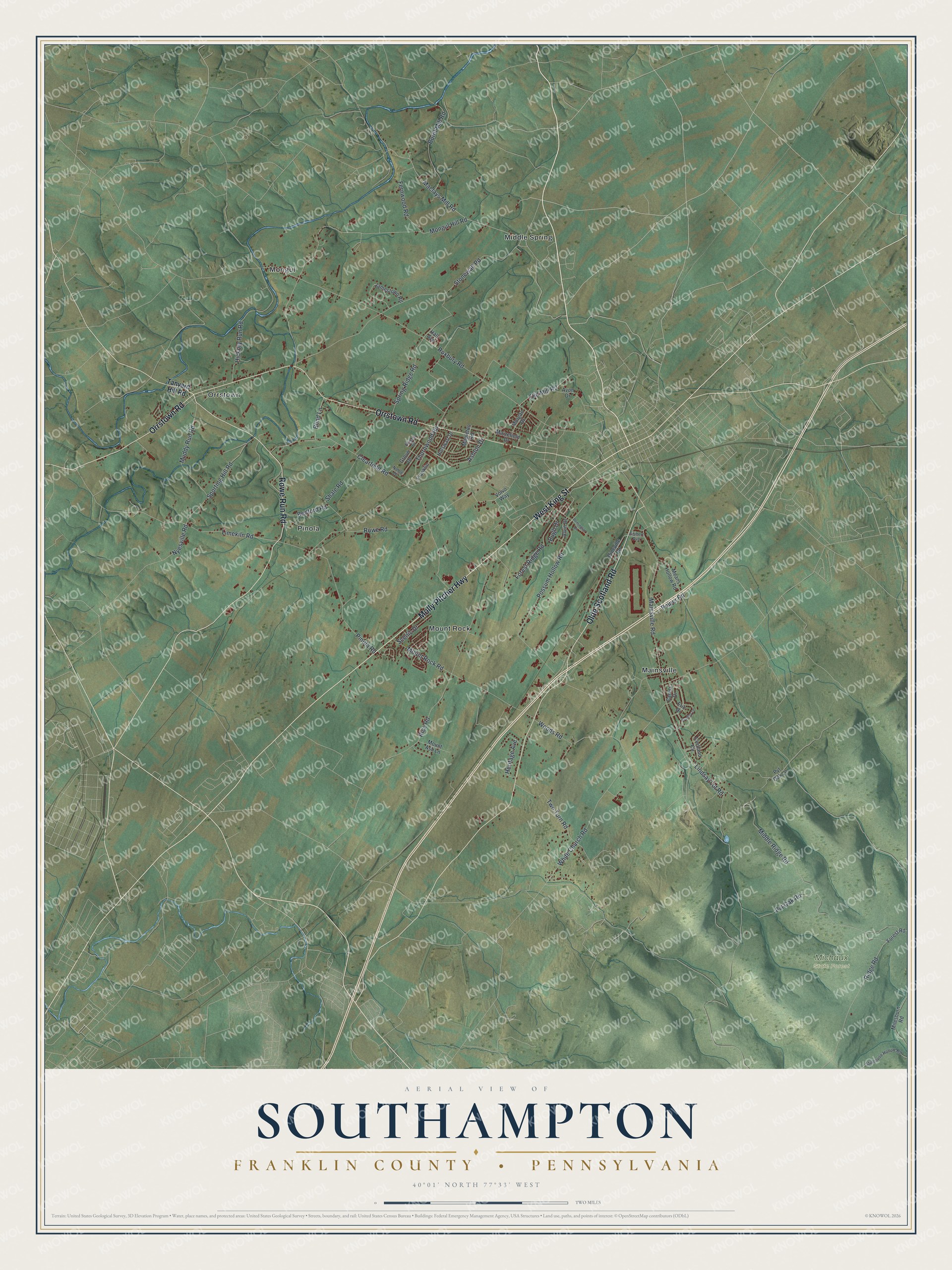
Created by KNOWOL in 2026, this print shows Southampton from above in soft greens, with shaded hills, thin white roads, blue creeks and small red buildings. The title panel at the bottom reads "Aerial View of Southampton, Franklin County, Pennsylvania" with 40°01' North 77°33' West set beneath it.
It fits well in a living room, a den or a farmhouse kitchen. It's a good gift for someone who grew up near Orrstown or Mainsville and has since moved away. Open the preview and find the road you know best. See sizes and frames for the Southampton, Franklin County map.