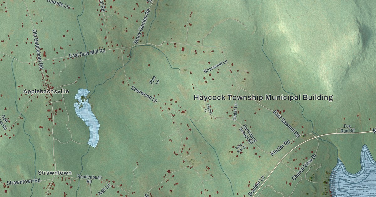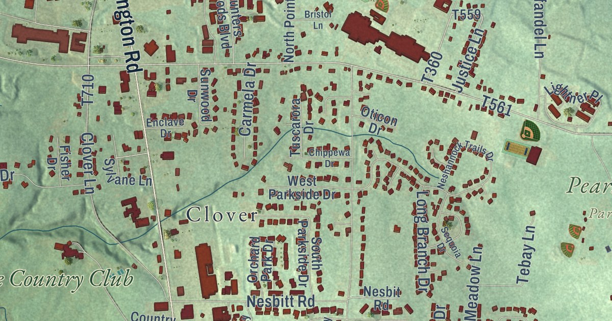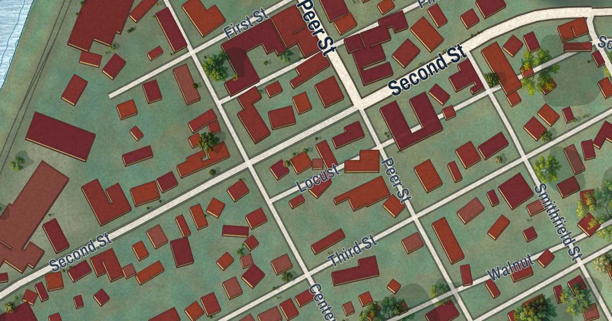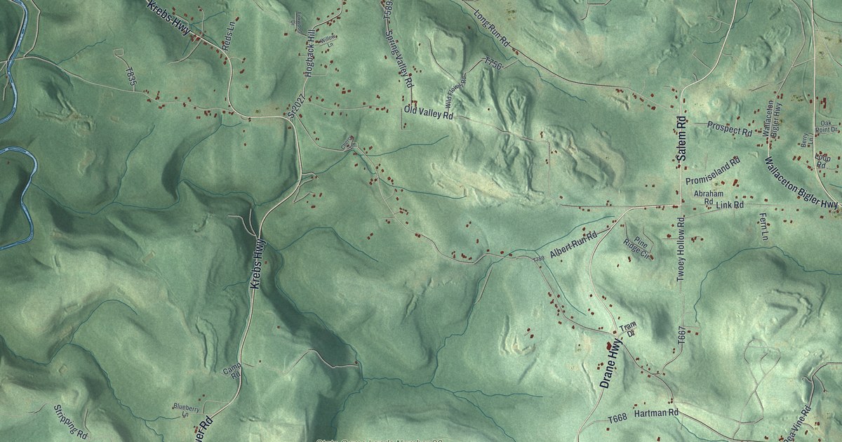
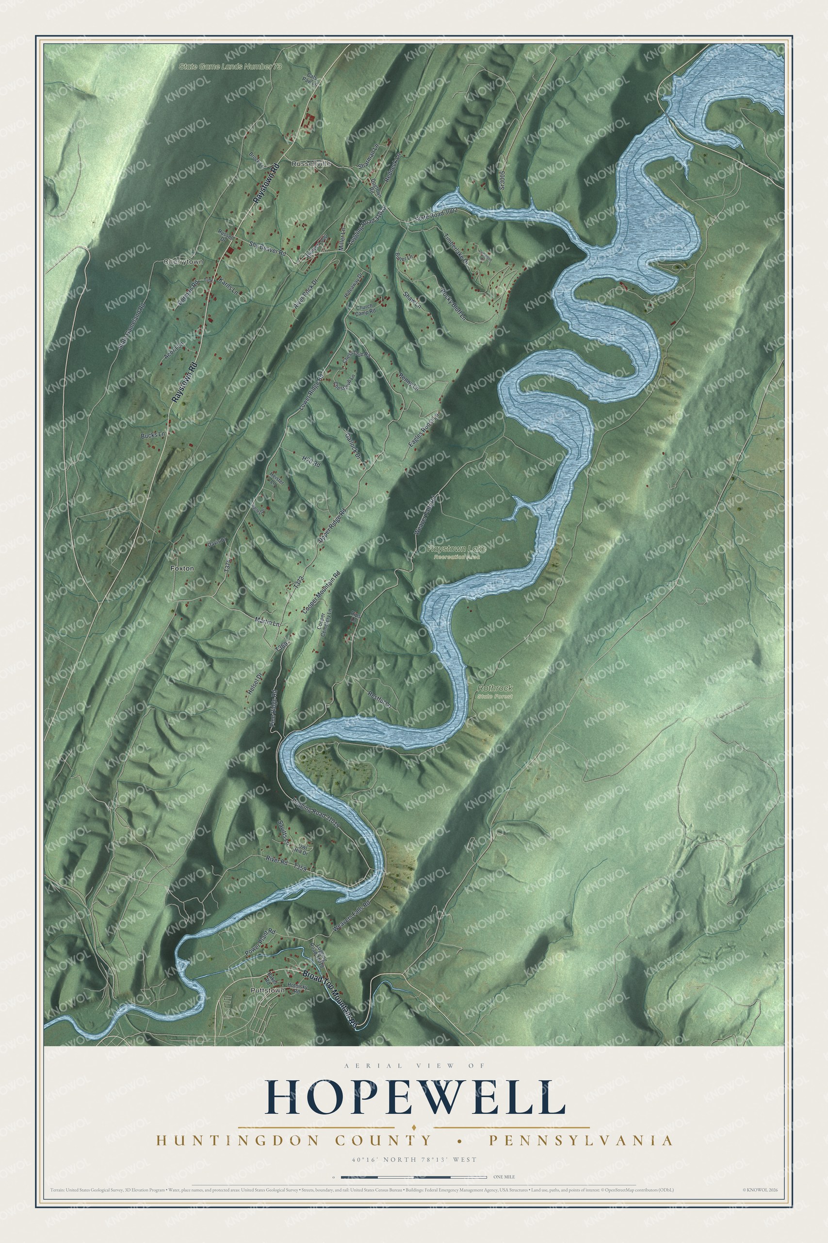
This beautifully detailed map of Hopewell, Huntingdon County, Pennsylvania was created in 2026 using aerial imagery combined with modern topographical, census, street and landmark data. It’s a one-of-a-kind view of Hopewell that combines accurate data with a vintage aesthetic. The map shows every building in its true location, many of the roads carry their names, and the shaded topographic relief shows the shape of the land.
Explore an aerial view of Hopewell, Huntingdon County, Pennsylvania
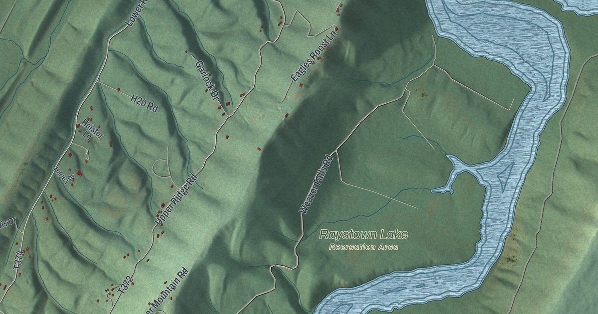
On the map you’ll find Puttstown, Russellville, Cherrytown, Raystown Lake Recreation Area, Rothrock State Forest, State Game Lands Number 73, and Foxton, along with Broad Top Mountain Road, Raystown Road, Martin Lane, Lower Ridge Road, and more. If you look closely you can even find your house accurately drawn in its correct location. Zoom in on the preview to look for yours.
Did you know this piece of Hopewell, Huntingdon County, Pennsylvania history?
Hopewell Township was one of the six original townships of Huntingdon County in 1787. In 1791 Jacob Weaver came from near Hagerstown, Maryland, with his wife and five children. The family followed the old Indian trail and carried their goods on the back of a cow. Their grandson John B. Weaver was still living on that farm in 1883. That’s from the 1883 History of Huntingdon and Blair Counties, Pennsylvania.
Take a closer look at the Hopewell, Huntingdon County map
Street and place names on the Hopewell, Huntingdon County, Pennsylvania map
These names are printed on the map of Hopewell, Huntingdon County, Pennsylvania.
Places: Puttstown, Russellville, Cherrytown, Raystown Lake Recreation Area, Rothrock State Forest, State Game Lands Number 73 and Foxton.
Streets and roads: Broad Top Mountain Road, Raystown Road, Martin Lane, Lower Ridge Road, Pine Ridge Road, River Road, Weaver Falls Road, Weavers Falls Road, Upper Ridge Road, Logging Road 31019, Logging Road 31025, Power Plant Road.
More street names, A to Z
Acorn Lane, Baker Road, Beaver Loop, Brock Lane, Bucks Lane, Butler Lane, Cats Paw Lane, Chessclub Lane, Chess Club Road, Church Camp Road, Cooper Cemetery Lane, Cooper Mountain Road, Davis Drive, Dogtown Road, Dorman Road, Driftwood Lane, Eagles Roost Lane, Garlock Drive, H20 Road, Harley Drive, Heister Lane, Helsel Drive, Hideaway Drive, Hotnisky Road, Karns Lane, Logging Road 31018, Miller Lane, Owl Hill Drive, Penny Lane, Redneck Lane, Restful Lane, Rips Lane, River Rock Drive, Rocky Bluff Lane, Russell Drive, Savitts Lane, Sharman Lane, Shaw Lane, Shy Beaver Road, Sr3005, State Gameland Road, State Road 3002, Timberlake Drive.
See the Hopewell, Huntingdon County, Pennsylvania map on a wall
The Hopewell, Huntingdon County map as an 18 x 24 inch print in a black frame.

This beautifully detailed map of Hopewell, Huntingdon County makes an attractive addition to your office, library, or den, and it can even be used to teach children the geography and history of the area. It also makes a great gift for someone who left Hopewell and still calls it home. When you’re done exploring, click here to get your copy of the Hopewell, Huntingdon County map.