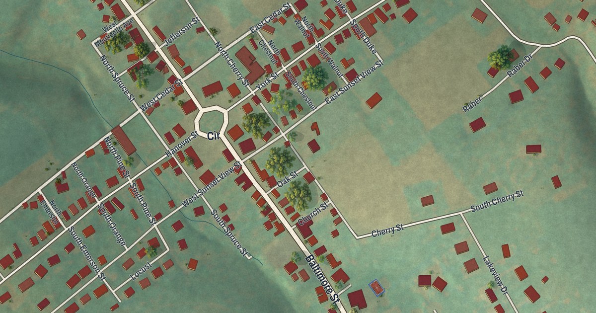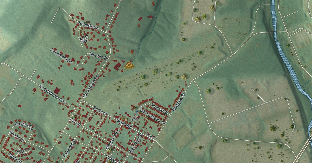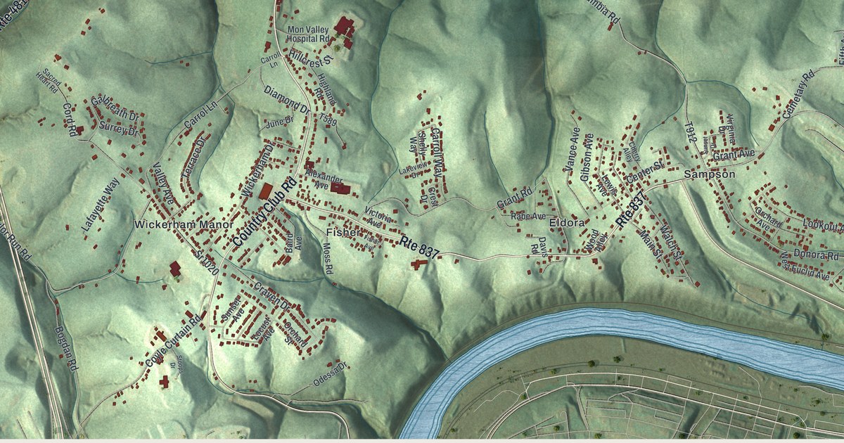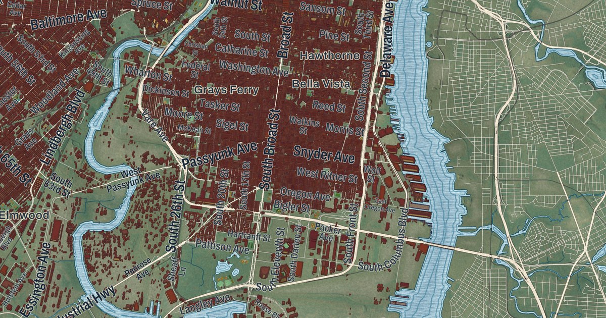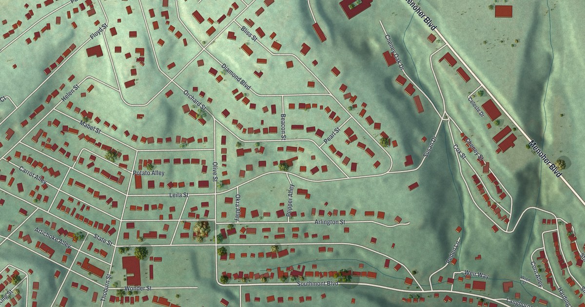
If you grew up on one of Southmont's hillside streets, or you still drive Menoher Boulevard home, this map is for you. It's a new aerial view of Southmont, a borough in Cambria County, Pennsylvania, made from modern data and given a vintage artistic feel. Streets climb and curve over green hills, and every building is a small red shape. Grandview Cemetery is printed on the right side.
Carrot Alley and the other streets of Southmont
On this map you'll find Menoher Boulevard, Southmont Boulevard, Diamond Boulevard, State Street, Bluff Street, Millcreek Road, Harshberger Road, Princeton Avenue, Harvard Avenue, Langhorne Avenue, Queen Street, King Street, Grandview Cemetery, and more. Each red shape is a building, so zoom in on the preview and look for yours.
Southmont is a borough of 2,045 people, as of the 2020 census. Some of its alley names read like a garden list. There's Carrot Alley, Lettuce Alley, Tomato Alley and Potato Alley. Corn Alley, Pepper Alley, Okra Alley and Artichoke Alley are here too. Birds get their turn with Robin Alley, Lark Alley, Oriole Street and Wren Street. Flowers show up in Daisy Street, Violet Street and Dahlia Street. Each one is printed on the map by name.
Menoher Boulevard and Clara Barton's 1889 relief
Menoher Boulevard also reaches into Johnstown, where a state marker at Haynes Street tells of First Cambria AME Zion Church, washed from its foundation in the 1889 flood but later restored. Two more state markers in Johnstown tell the rest of that story. Johnstown's hardest day came on May 31, 1889. The Johnstown Flood marker says a wall of water and wreckage 35 feet high came 14 miles from the broken South Fork Dam. It destroyed more than 1,600 homes and took 2,209 lives. The American Red Cross marker says that on June 5, Clara Barton arrived with Red Cross volunteers. It was one of the group's first major disaster responses. They set up feeding stations, built shelters and gave medical care. Over five months, the Red Cross helped 25,000 people.
Southmont Boulevard and the streets you know
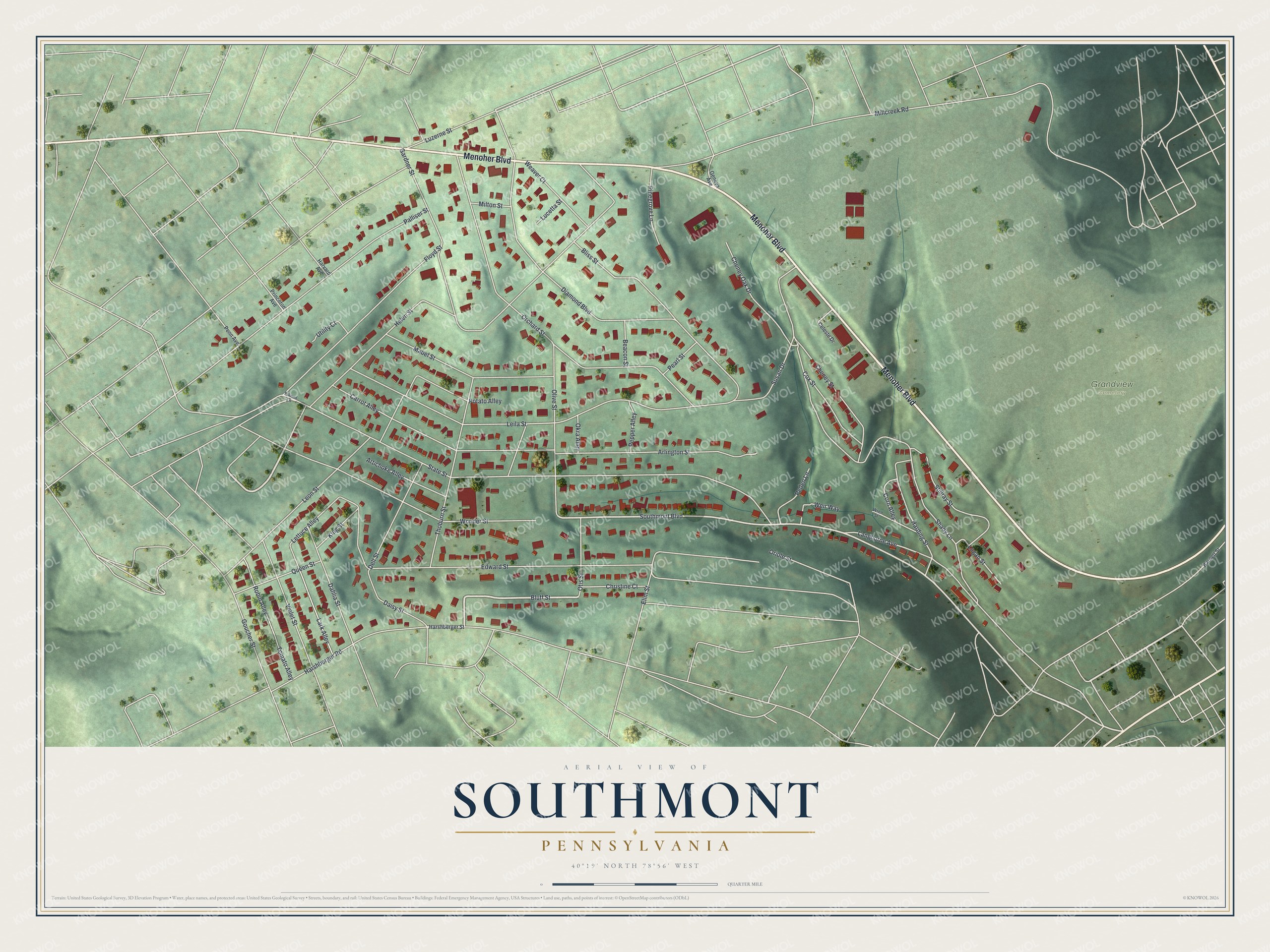
Created by KNOWOL in 2026, the print shows Southmont from above in soft greens, with shaded hills, pale roads and red buildings. The title panel reads Aerial View of Southmont, Pennsylvania, with the coordinates 40°19' North 78°56' West.
It suits a living room, a hallway or a home office. It's a good gift for someone who grew up near Grandview Cemetery or Southmont Boulevard and has since moved away. Open the preview and look for your street. See sizes and frames for the Southmont map.