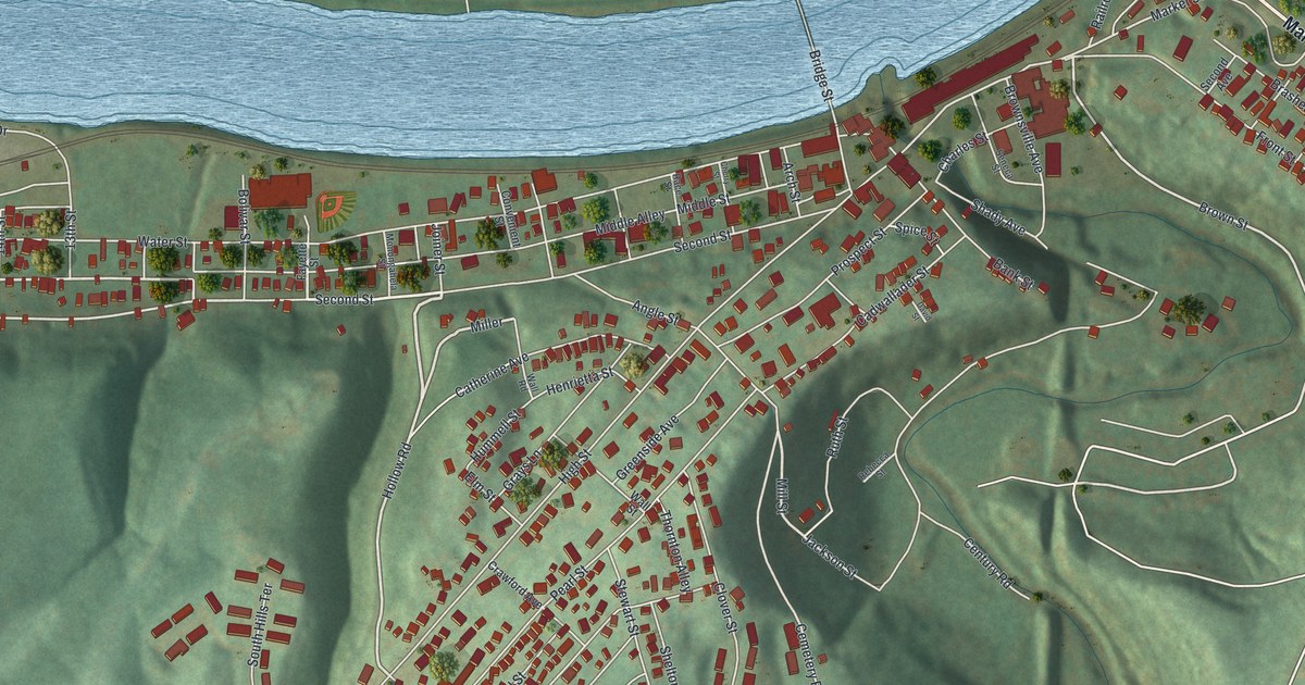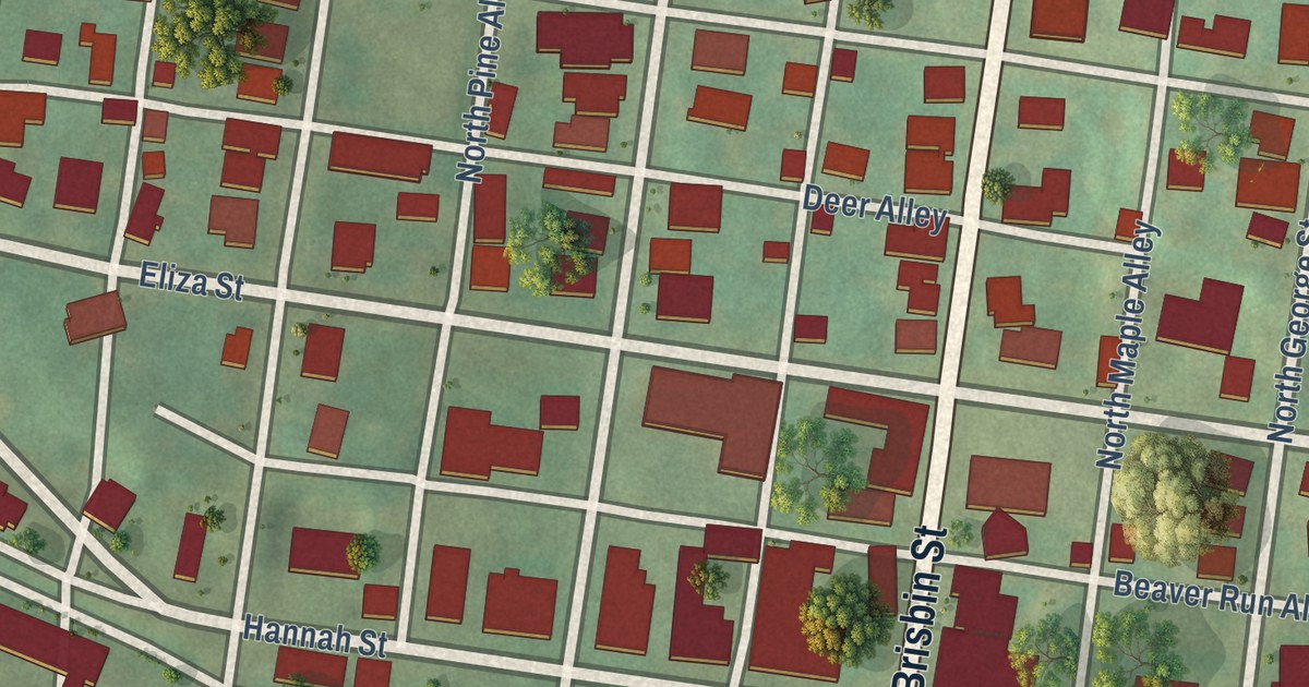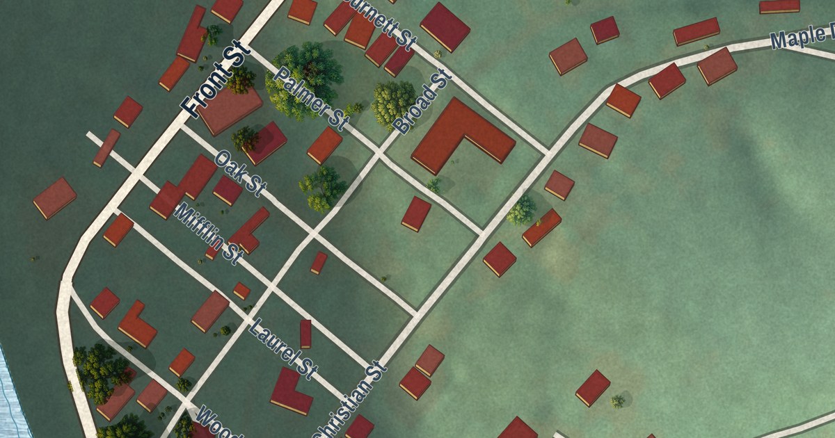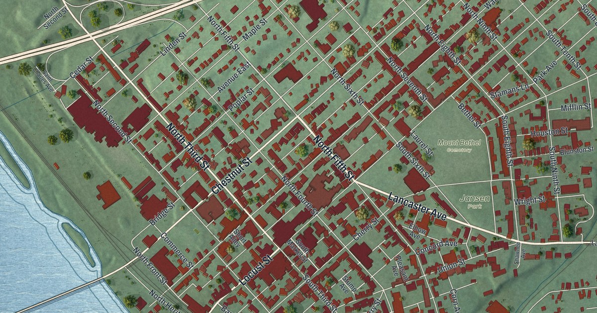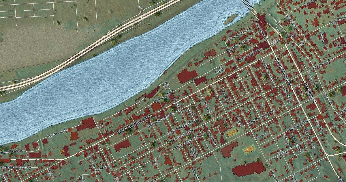
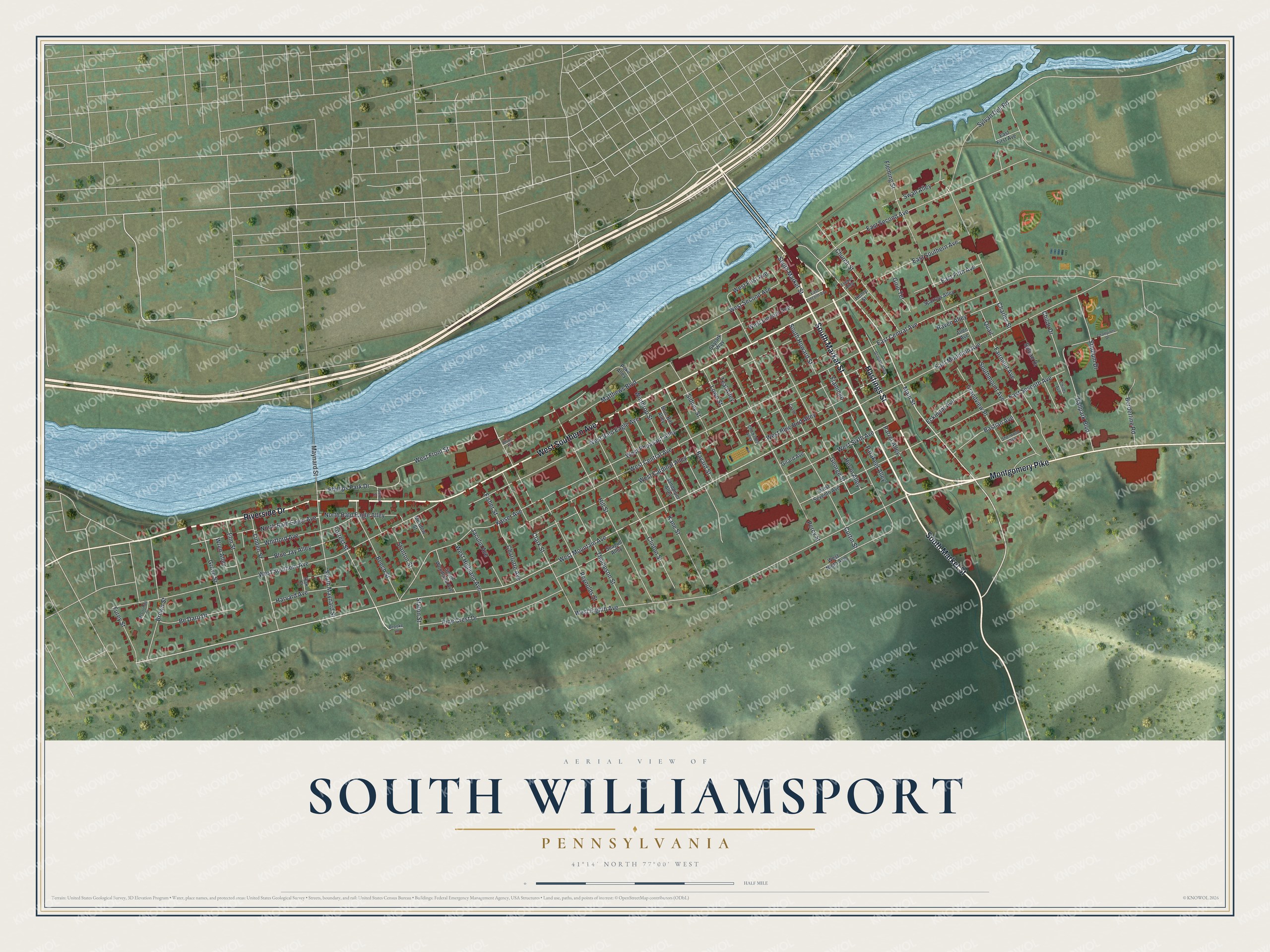
This beautifully detailed map of South Williamsport, Pennsylvania was created in 2026 using aerial imagery combined with modern topographical, census, street and landmark data. It’s a one-of-a-kind view of South Williamsport that combines accurate data with a vintage aesthetic. The map shows every building in its true location, many of the roads carry their names, and the shaded topographic relief shows the shape of the land.
Explore an aerial view of South Williamsport, Pennsylvania
On the map you’ll find Riverside Drive, Hastings Street, South Market Street, West Southern Avenue, Montgomery Pike, Main Street, West Mountain Avenue, Grove Street, West Front Street, West Bald Eagle Avenue, West Eighth Avenue, West Central Avenue, and more. If you look closely you can even find your house accurately drawn in its correct location. Zoom in on the preview to look for yours.
Did you know this piece of South Williamsport, Pennsylvania history?
South Williamsport is the host of the Little League World Series. Like Williamsport across the river, it grew on sawmills and furniture factories during the logging boom after the Civil War. That trade faded in the 1890s once the hills were stripped of lumber. Second-growth forest has since covered the slopes again.
Take a closer look at the South Williamsport map
Street names on the South Williamsport, Pennsylvania map
These names are printed on the map of South Williamsport, Pennsylvania.
Streets and roads: Riverside Drive, Hastings Street, South Market Street, West Southern Avenue, Montgomery Pike, Main Street, West Mountain Avenue, Grove Street, West Front Street, West Bald Eagle Avenue, West Eighth Avenue, West Central Avenue.
More street names, A to Z
Allen Avenue, Ballpark Boulevard, Bastian Avenue, Bayard Street, Be Daro Drive, Beech Street, Blue Bill Alley, Blue Jay Alley, Borderline Road, Brion Place, Brooke Lane, Brown Street, Champions Drive, Charles Street, Charlotte Avenue, Chickadee Alley, Childs Avenue, Childs Drive, Church Street, Clark Street, Clinton Street, Crane, Curtin Street, East Central Avenue, East Fifth Avenue, East First Avenue, East Lincoln Avenue, East Mountain Avenue, East Second Avenue, East Seventh Avenue, East Southern Avenue, Eckmont Avenue, Elm Street, Factory Street, Fairmont Avenue, Fisher Street, Flamingo, Fleming Street, Flicker Alley, Forrest Street, Furey Street, George Street, Girard Avenue, Girio Terrace, Grandview Place, Grouse Alley, Harvard Avenue, Henry Street, Heron Alley, Hill Street, Jaculin Avenue, Kaiser Avenue, Kane Street, Linden Street, Lowe Street, Matthews Boulevard, Maynard Street, McCormick Street, Meadow Street, North Bald Eagle Alley, North Bald Eagle Avenue, Oak Street, Parakeet Alley, Parrot Alley, Percy Street, Phillips Park Drive, Pine Crest Drive, Poke Alley, Quail, Raven Alley, Reynolds Street, Sandpiper Alley, Seagull Alley, Sherwood Avenue, Sidney Street, Skylark Way, South Howard Street, South Maynard Street, Southmount Avenue, South Woodland Avenue, Sparrow Alley, Stadium Drive, Stanton Street, Staton Street, Swan Alley, Sylvan Dell Road, Sylvan Drive, Teal Alley, Thompson Street, West Blue Bird Alley, West Cardinal Alley, West First Avenue, West Highland Avenue, West Lincoln Avenue, West Ninth Avenue, West Pheasant Alley, West Second Avenue, West Seventh Avenue, West Sixth Avenue, Whitford Avenue, Winthrop Street, Wren Alley.
See the South Williamsport, Pennsylvania map on a wall
The South Williamsport map as an 18 x 24 inch print in a black frame.

This beautifully detailed map of South Williamsport makes an attractive addition to your office, library, or den, and it can even be used to teach children the geography and history of the area. It also makes a great gift for anyone who grew up in South Williamsport or moved away. When you’re done exploring, click here to get your copy of the South Williamsport map.