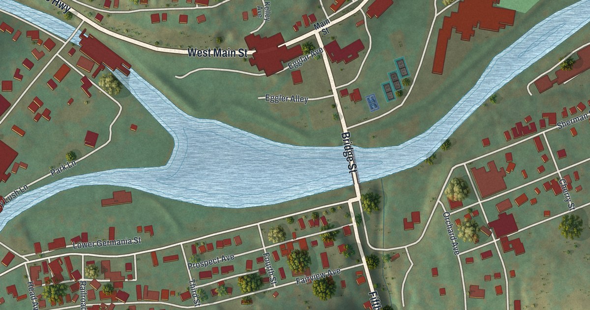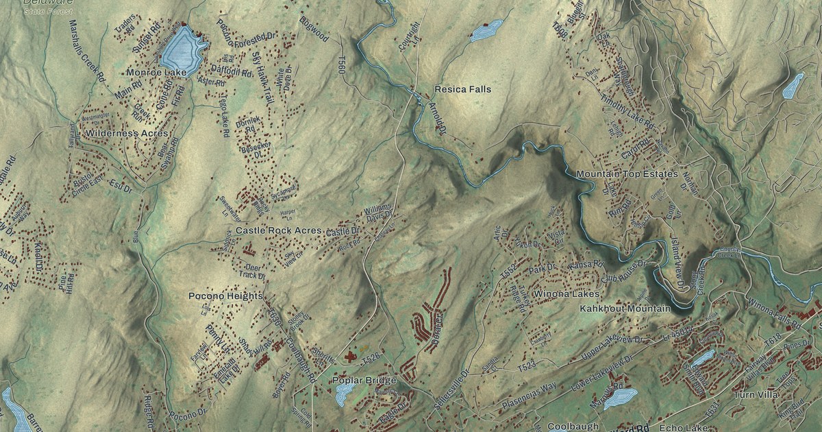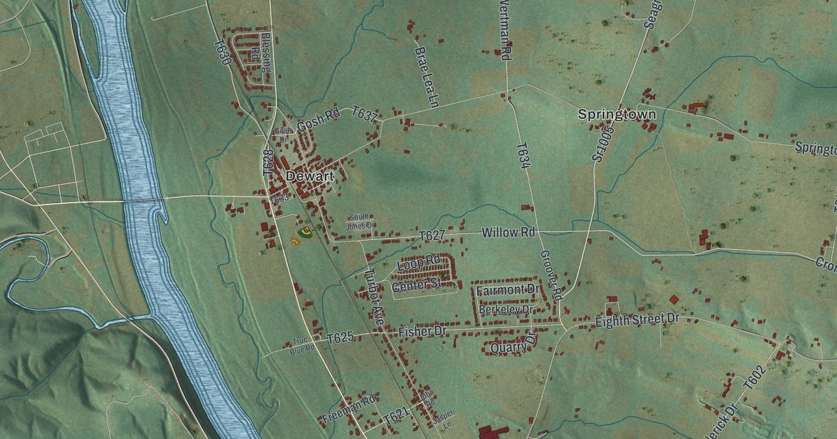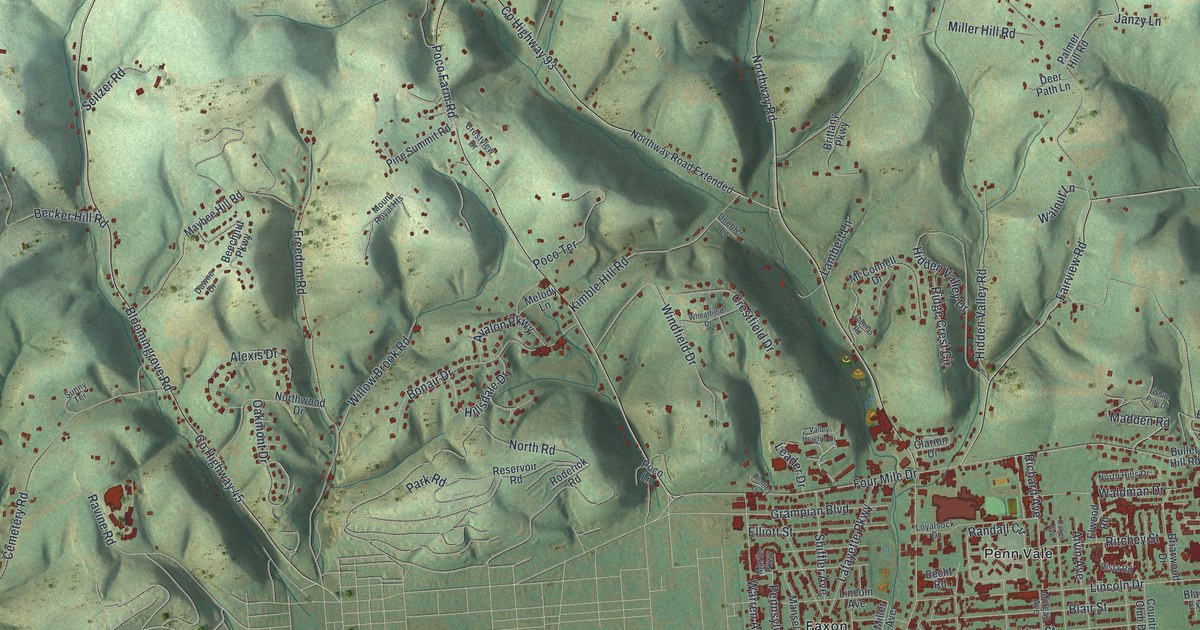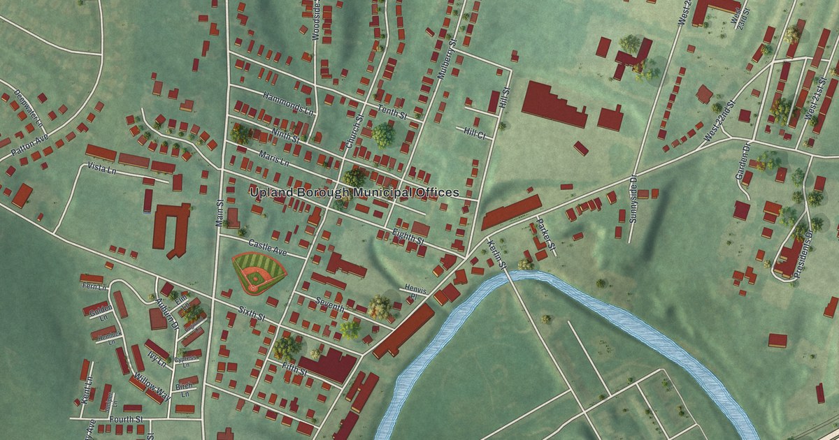
If you grew up on Main Street or one of Upland's numbered streets, this map is your hometown. It's a modern aerial view of Upland, a small borough in Delaware County, Pennsylvania, made from modern data and given a vintage look. More than 2,000 buildings sit in red on green hills. A blue creek curves along the bottom, and a rail line cuts across the lower right corner.
Where Martin Luther King Jr. Studied in Upland
On this map you'll find Main Street, Upland Avenue, Medical Center Boulevard, Race Street, Church Street, Hill Street, Seminary Avenue, Castle Avenue, Mulberry Street, Front Street, Glenway Avenue, the Upland Borough Municipal Offices, Camp Upland, and more. Each red shape is a building, so zoom in on the preview and look for yours.
Upland's best-known story took place at Crozer Theological Seminary. Martin Luther King Jr. studied there and earned his Bachelor of Divinity degree in 1951. A state historical marker says his three years here were a key period in shaping his philosophy of nonviolent social change. He won the Nobel Peace Prize in 1964. The marker stands at Old Main, on the medical center grounds at One Medical Center Boulevard. Old Main was added to the National Register in 1973. On the map, look near Upland Avenue on the right side. The big group of red buildings there is the medical center, and Old Main stands on those grounds.
Caleb Pusey's House on Race Street
Down near the creek is an older story. Caleb Pusey was an English-born Quaker who made lasts for shoes. He bought 250 acres from William Penn in 1681. He ran a grist mill for Penn and acted as his agent, and he held office in the colony. Penn came to visit him here. His house at 15 Race Street is listed on the National Register of Historic Places. A second marker stands where Main Street meets Race Street. On the map, Race Street sits near the bottom, close to the curving blue creek.
Keep Main Street and Race Street Close
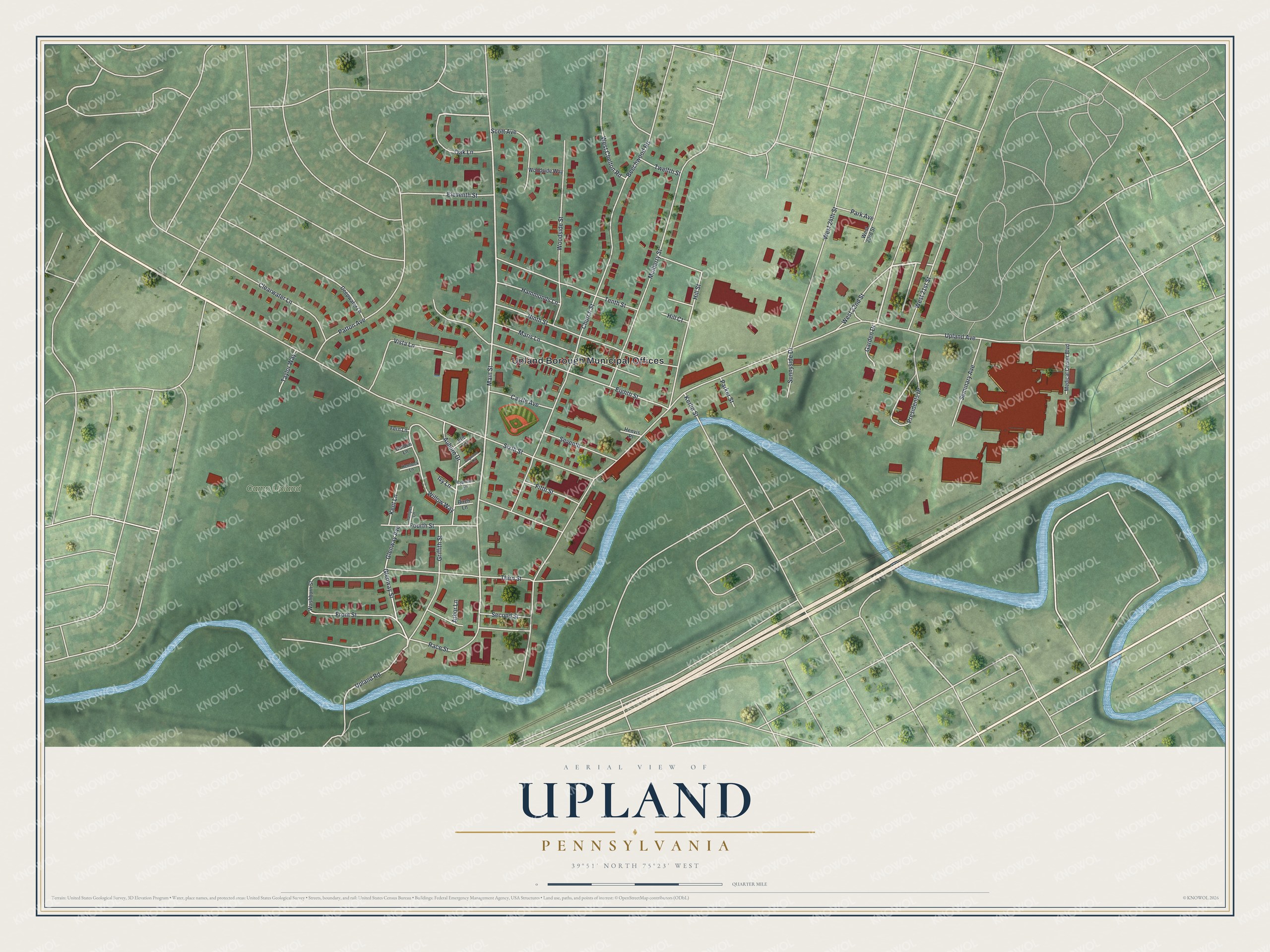
Created by KNOWOL in 2026, this print shows Upland from above in soft greens, with red buildings, a winding blue creek and gentle shaded hills. The title panel reads Aerial View of Upland, Pennsylvania, with 39°51' North 75°23' West printed below.
It fits a living room, a front hall or a home office. It's a thoughtful gift for someone who grew up near Camp Upland or walked Main Street every day, and for anyone in the family who moved away. Open the preview and find your street. See sizes and frames for the Upland map.