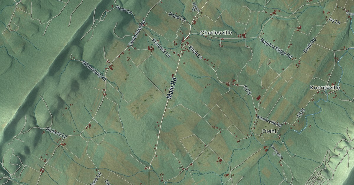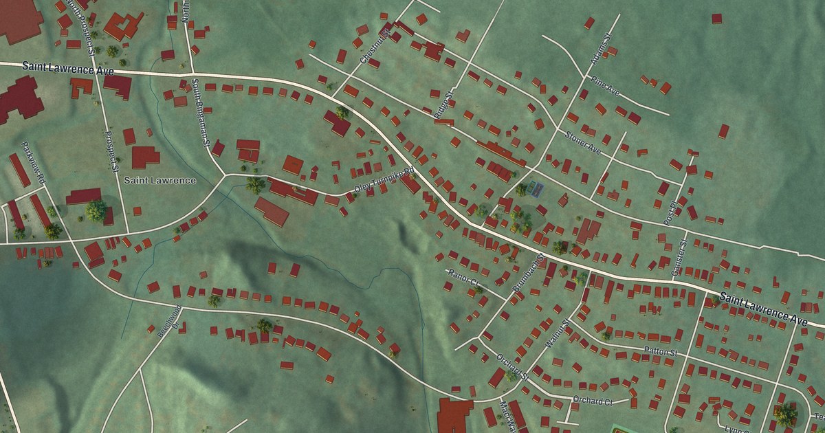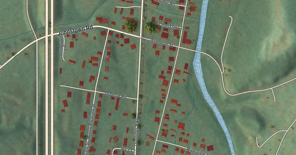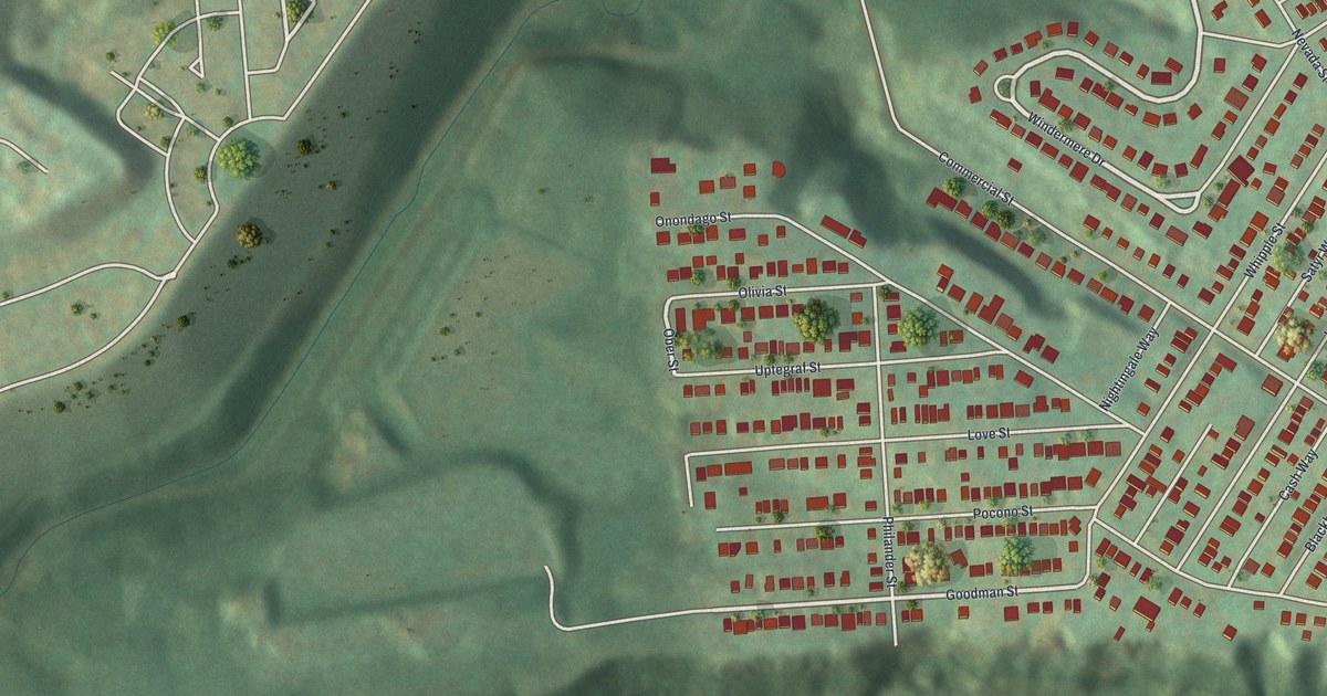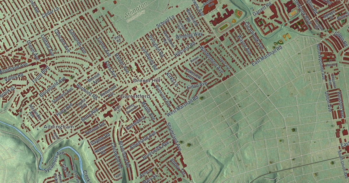
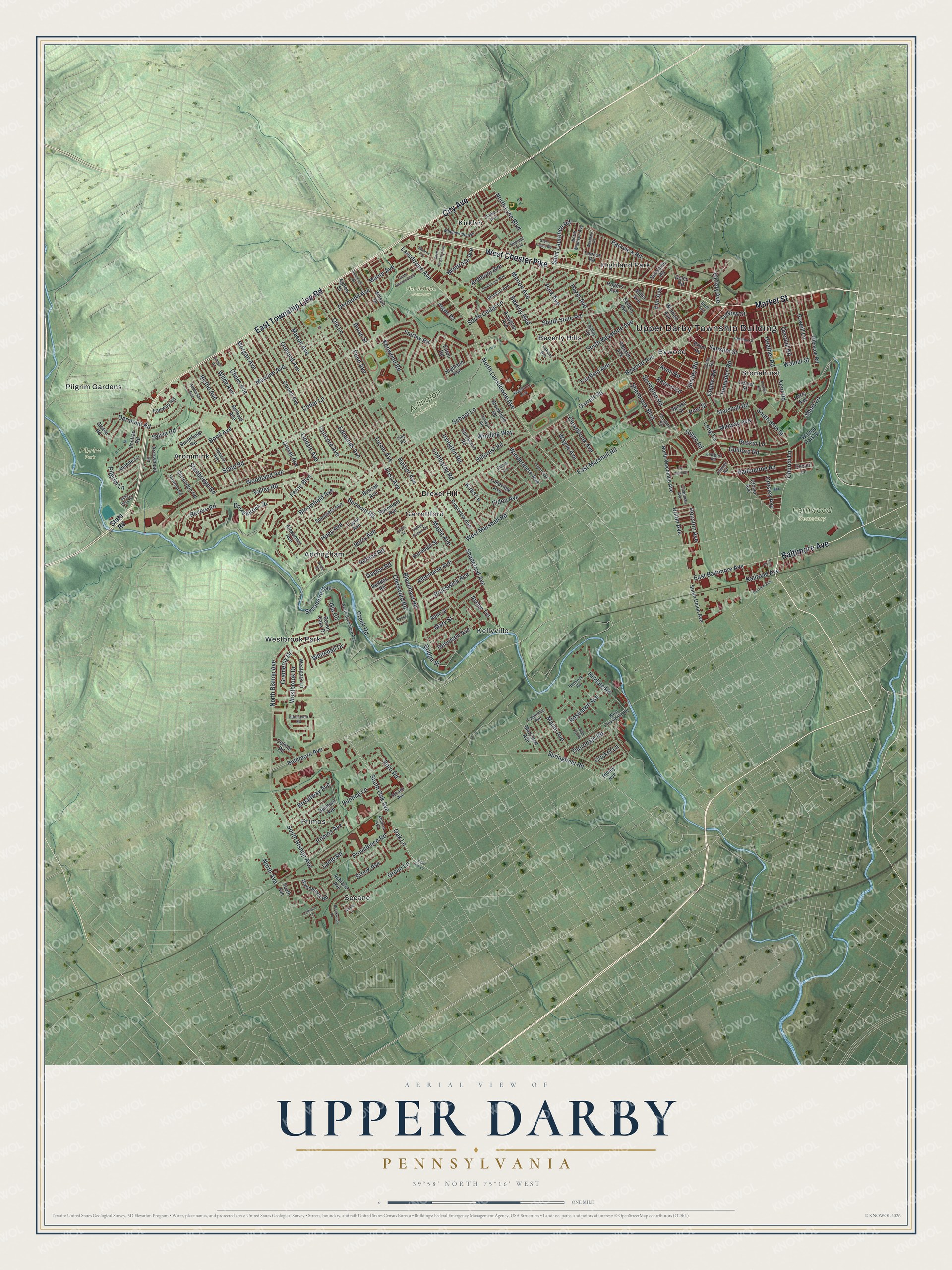
This beautifully detailed map of Upper Darby, Pennsylvania was created in 2026 using aerial imagery combined with modern topographical, census, street and landmark data. It’s a one-of-a-kind view of Upper Darby that combines accurate data with a vintage aesthetic. The map shows every building in its true location, many of the roads carry their names, and the shaded topographic relief shows the shape of the land.
Explore an aerial view of Upper Darby, Pennsylvania
On the map you’ll find Upper Darby Township Building, Arlington Cemetery, Fernwood Cemetery, Har Jehuda Cemetery, Pilgrim Park, Addingham, Aronimink, Beverly Hills, Bywood, Drexel Hill, Garrettford, Highland Park, and more. If you look closely you can even find your house accurately drawn in its correct location. Zoom in on the preview to look for yours.
Did you know this piece of Upper Darby, Pennsylvania history?
From the 1884 History of Delaware County, Pennsylvania: "The first mention of the name of Steel is in an assessment of the county in 1766, in Upper Darby township, when James Steel was assessed on a gristmill."
Take a closer look at the Upper Darby map
Street and place names on the Upper Darby, Pennsylvania map
These names are printed on the map of Upper Darby, Pennsylvania.
Places: Upper Darby Township Building, Arlington Cemetery, Fernwood Cemetery, Har Jehuda Cemetery, Pilgrim Park, Addingham, Aronimink, Beverly Hills, Bywood, Drexel Hill, Garrettford, Highland Park, Kellyville, Kirklyn, Pilgrim Gardens, Primos, Secane, Stonehurst and Westbrook Park.
Streets and roads: West Chester Pike, Market Street, Baltimore Avenue, East Township Line Road, City Avenue, North Lansdowne Avenue, Lansdowne Avenue, South Oak Avenue, East Baltimore Avenue, Church Lane, Oak Lane, South 69th Street.
More street names, A to Z
Abbey Terrace, Agnew Drive, Albemarle Avenue, Alexander Avenue, Anderson Avenue, Anne Street, Apache Lane, Arbor Lea Road, Ardmore Avenue, Argyle Road, Arlington Avenue, Arrowhead Lane, Ashby Road, Ashland Avenue, Avon Road, Bayard Road, Belfield Avenue, Bella Vista Road, Belmont Avenue, Berry Avenue, Beverly Boulevard, Blanchard Road, Bloomfield Avenue, Blythe Avenue, Blythe Road, Bond Avenue, Bonsall Avenue, Boro Road, Brent Road, Bridge Street, Brief Avenue, Broadway Avenue, Brook Avenue, Brookfield Road, Brookwood Lane, Brunswick Avenue, Bryan Street, Bunting Lane, Burmont Road, Bywood Avenue, California Avenue, Cedar Lane, Chapman Avenue, Chestnut Street, Cheswold Road, Childs Avenue, Clarendon Road, Clearbrook Avenue, Clinton Road, Clover Avenue, Clover Lane, Concord Avenue, Copley Road, Cornell Avenue, Creek Road, Cricket Lane, Crosley Avenue, Dayton Road, Delco Road, Delmar Road, Dennison Avenue, Dermond Avenue, Dermond Road, Derwyn Road, Devon Lane, Drexel Avenue, Drexelbrook Drive, East Marshall Road, East Oak Lane, Eaton Road, Edmonds Avenue, Eldon Avenue, Elm Avenue, Evans Lane, Fairfax Road, Fairfield Avenue, Fairhaven Road, Fairview Avenue, Fairway Road, Ferne Boulevard, First Street, Foss Avenue, Gainsboro Road, Garrett Road, Gia Circle, Gilpin Road, Glencoe Road, Gramercy Drive, Green Lane, Green Valley Road, Guilford Road, Hampden Road, Harper Avenue, Hazel Avenue, Heather Road, Hemlock Road, Highland Avenue, Hillcrest Road, Hilldale Road, Hillside Avenue, Hilltop Road, Houston Avenue, Huey Avenue, Irvington Road, Jones Street, Kent Road, Kenwood Road, Keystone Avenue, Kirks Lane, Lakeview Avenue, Lamb Road, Lamport Road, Larkspur Lane, Le Carra Drive, Lennox Road, Lindale Avenue, Locust Street, Lombardy Road, Long Lane, Ludlow Street, Lukens Avenue, Maine Avenue, Manor Avenue, Maple Avenue, Maplewood Avenue, Margate Road, Marshall Road, Marvine Avenue, Maryland Avenue, Mary Street, Mason Avenue, Merion Avenue, Midway Avenue, Mildred Avenue, Miller Avenue, Monroe Avenue, Montrose Avenue, Morgan Avenue, Nicole Drive, North Avenue, North Bishop Avenue, North Lynn Boulevard, North Madison Avenue, North Sycamore Avenue, North Wycombe Avenue, Old Lane, Ormond Avenue, Overhill Road, Owen Avenue, Park Avenue, Parker Avenue, Parkview Road, Penarth Avenue, Penn Avenue, Perry Avenue, Pilgrim Lane, Pine Street, Pontiac Road, Powell Lane, Primos Avenue, Providence Road, Radbourne Road, Railroad Avenue, Randolph Street, Redden Road, Revere Road, Rively Avenue, Riverview Avenue, Roberts Avenue, Rocklyn Road, Rogers Avenue, Roosevelt Drive, Roselawn Avenue, Rosemont Avenue, Ruskin Lane, Saint Laurence Road, Sansom Street, School Lane, Secane Avenue, Sellers Avenue, Seven Oaks Drive, Shadeland Avenue, Sherbrook Boulevard, Shirley Road, Short Lane, Smithfield Road, Sommers Avenue, South Avenue, South Bishop Avenue, South Brighton Avenue, South Cedar Lane, South Harwood Avenue, South Keystone Avenue, South Lynn Boulevard, South State Road, South Union Avenue, Springfield Road, Springton Road, Spruce Street, Stanbridge Road, State Road, Steele Road, Sunshine Road, Sycamore Avenue, Sylvia Road, Taylor Avenue, Terwood Road, Thorndale Road, Turner Avenue, Union Avenue, Valley Green Drive, Valley Road, Vernon Road, Victory Avenue, Village Road, Villa Road, Walnut Park Drive, Walnut Street, Wayne Avenue, Westbrook Drive, Westdale Road, West Marshall Road, Westpark Lane, West Providence Road, Whitehall Drive, Wilde Avenue, Wilson Drive, Windermere Avenue, Winding Way, Windsor Avenue, Winfield Avenue, Woodland Avenue, Wynnbrook Road.
See the Upper Darby, Pennsylvania map on a wall
The Upper Darby map as an 18 x 24 inch print in a black frame.

This beautifully detailed map of Upper Darby makes an attractive addition to your office, library, or den, and it can even be used to teach children the geography and history of the area. It also makes a great gift for someone who left Upper Darby and still calls it home. When you’re done exploring, click here to get your copy of the Upper Darby map.