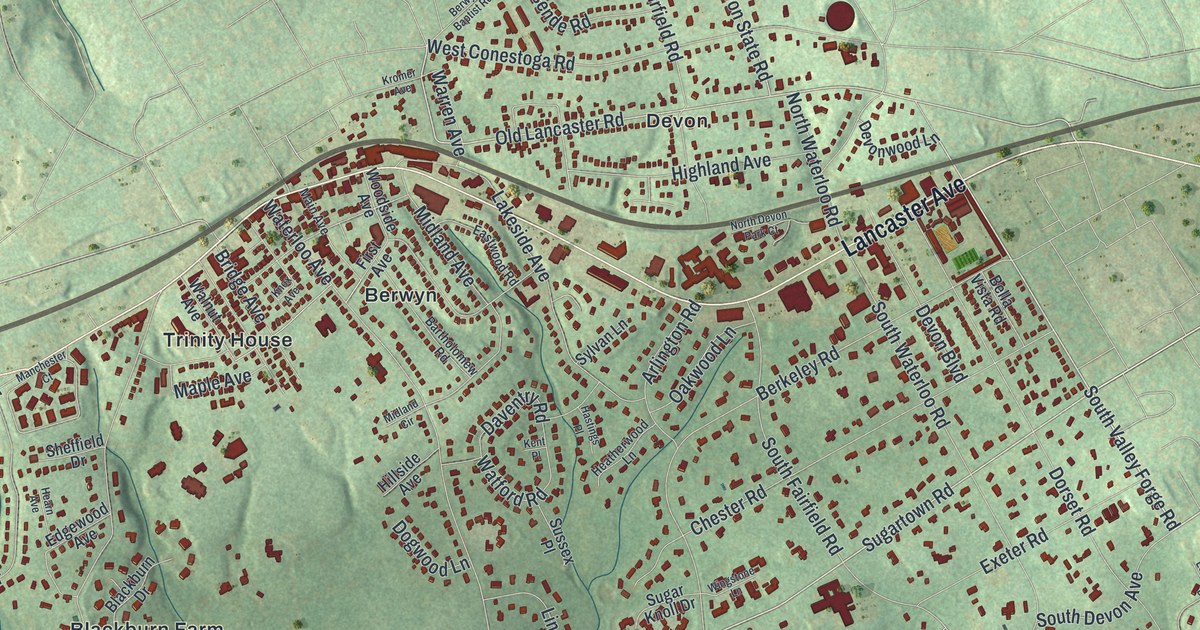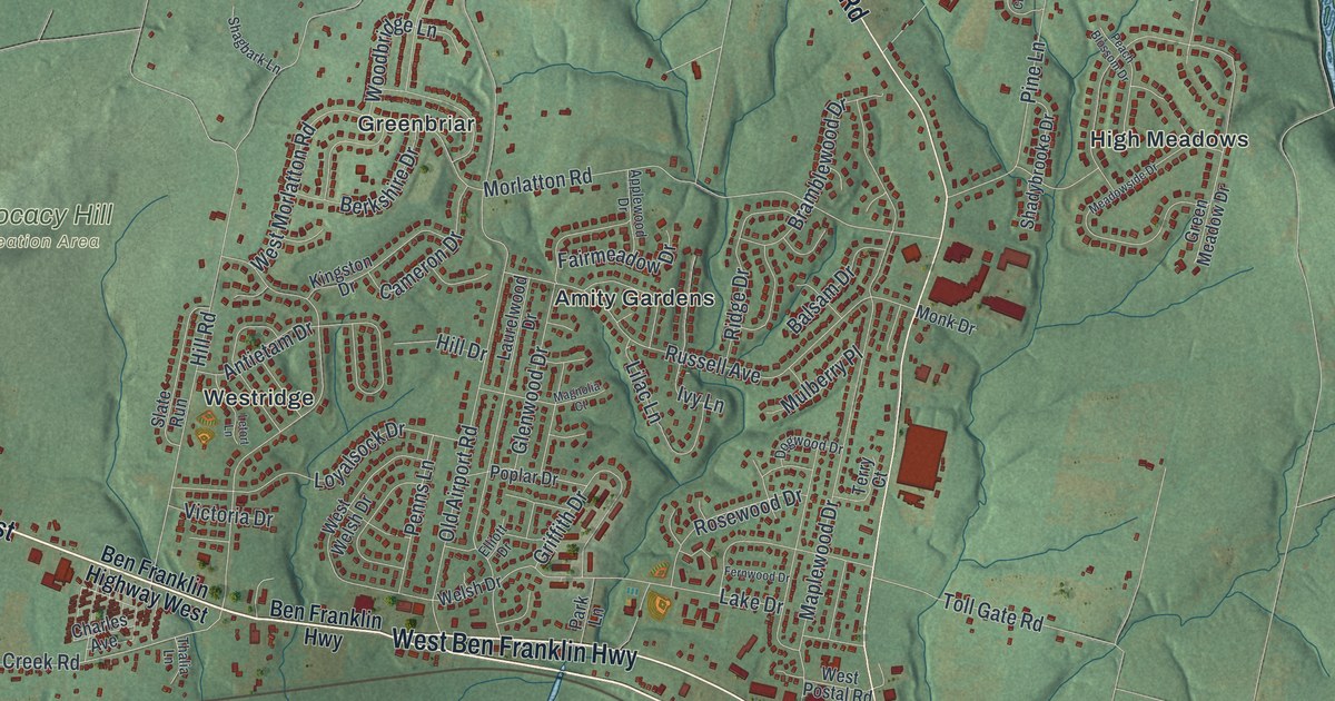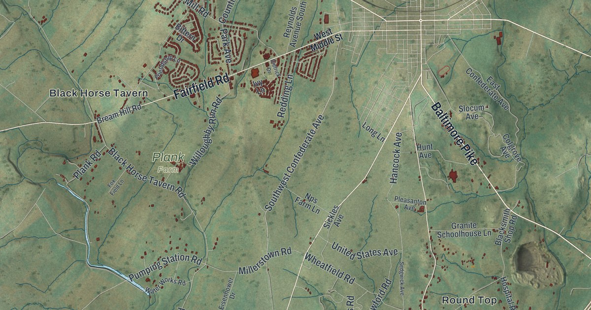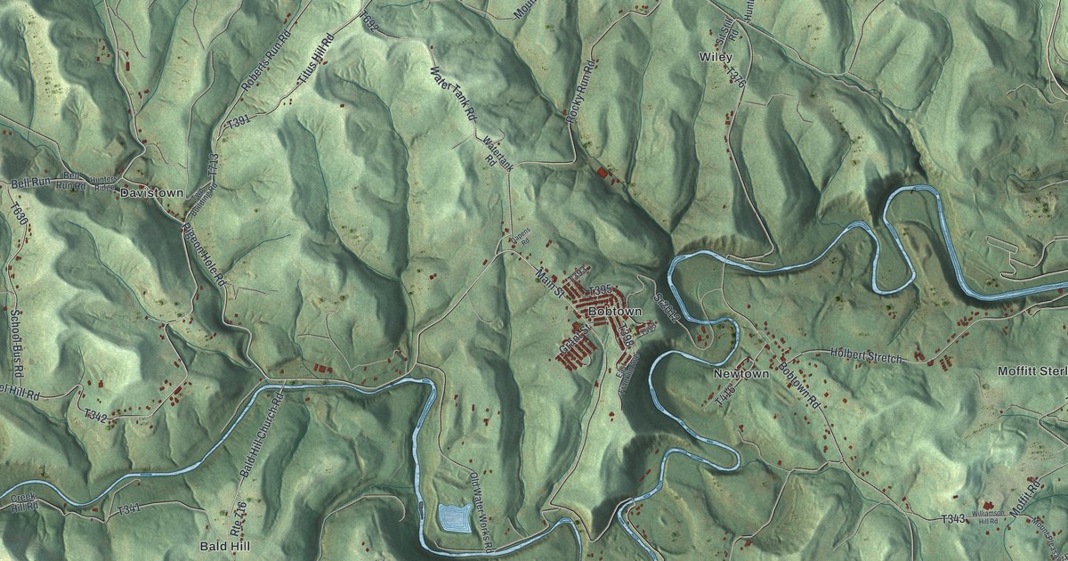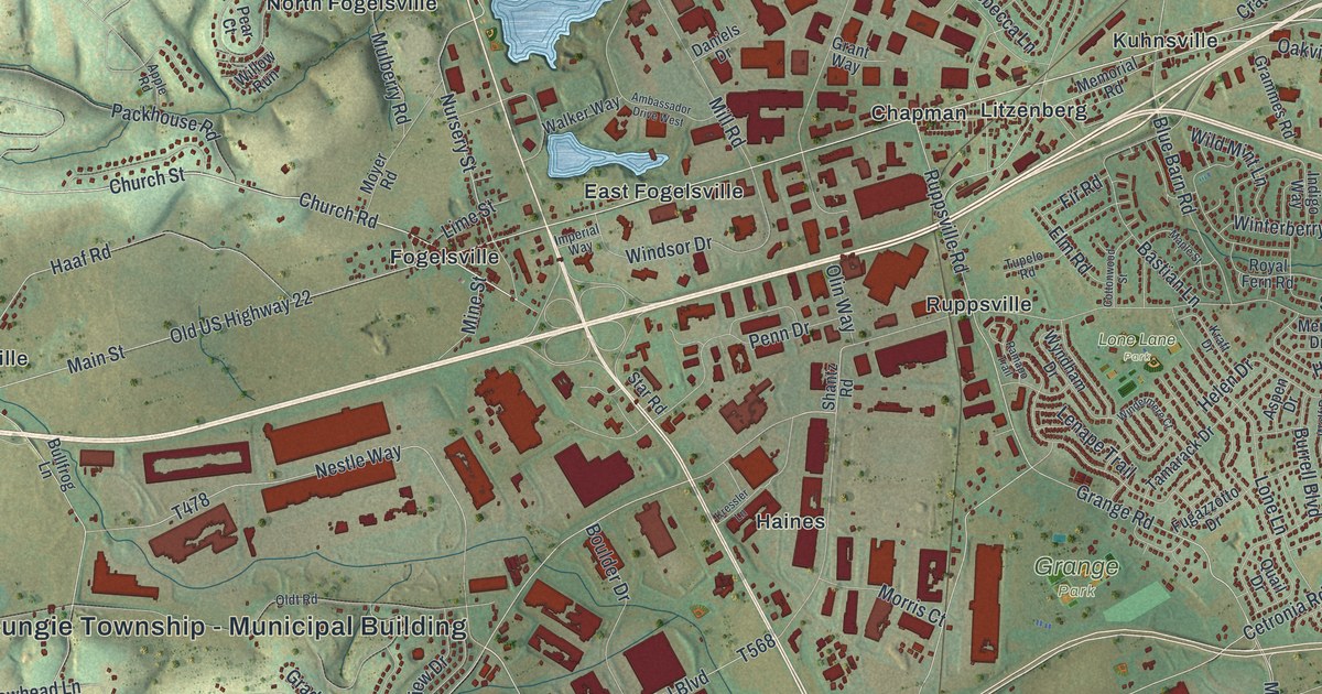
If you grew up in Fogelsville, Trexlertown or Breinigsville, or you still drive Hamilton Boulevard every day, this map is about your home. It's a modern aerial view of Upper Macungie Township in Lehigh County, Pennsylvania, made from modern data and given a vintage feel. Shaded green hills fill the top of the sheet, cut by deep creek valleys. Lower down, the villages sit close together, with homes, farms and big red warehouse blocks in between.
From Haafsville to Trexlertown on One Map
On this map you'll find Hamilton Boulevard, the Rte 100 Bypass, Old US Highway 22, Main Street, Church Street, Trexlertown Road, Grange Park, Lone Lane Park, Fogelsville, Trexlertown, Breinigsville, Chapman, Haafsville, Kuhnsville, Krocksville, and more. Each red shape is a building, so zoom in on the preview and look for yours.
How Fogelsville Got Its Name
Fogelsville is named for Judge John Fogel. He built a hotel there in 1798, and it was the first building in the place, says the 1914 History of Lehigh County. Judge Fogel kept the hotel and a small store, and he worked as a dyer too. The old hotel came down in 1883. A brick tavern went up on the same spot. By 1914 the town had two churches, two schools and three stores. The book also says Fogelsville sent out more preachers, doctors, teachers and professors than any other town its size in the county.
The Cement Plant That Built East Fogelsville
In November 1905, the Lehigh Portland Cement Company started building a big plant about a mile north of Fogelsville. It made its first cement in March 1907. About 425 men worked in the quarry and the mills. The company also built houses for its workers, and that new village became East Fogelsville. Cement from these mills went into the Panama Canal and a large bridge in Allentown. On the map, look for East Fogelsville near the middle, just below two small blue ponds.
A Map of Fogelsville, Trexlertown and Breinigsville
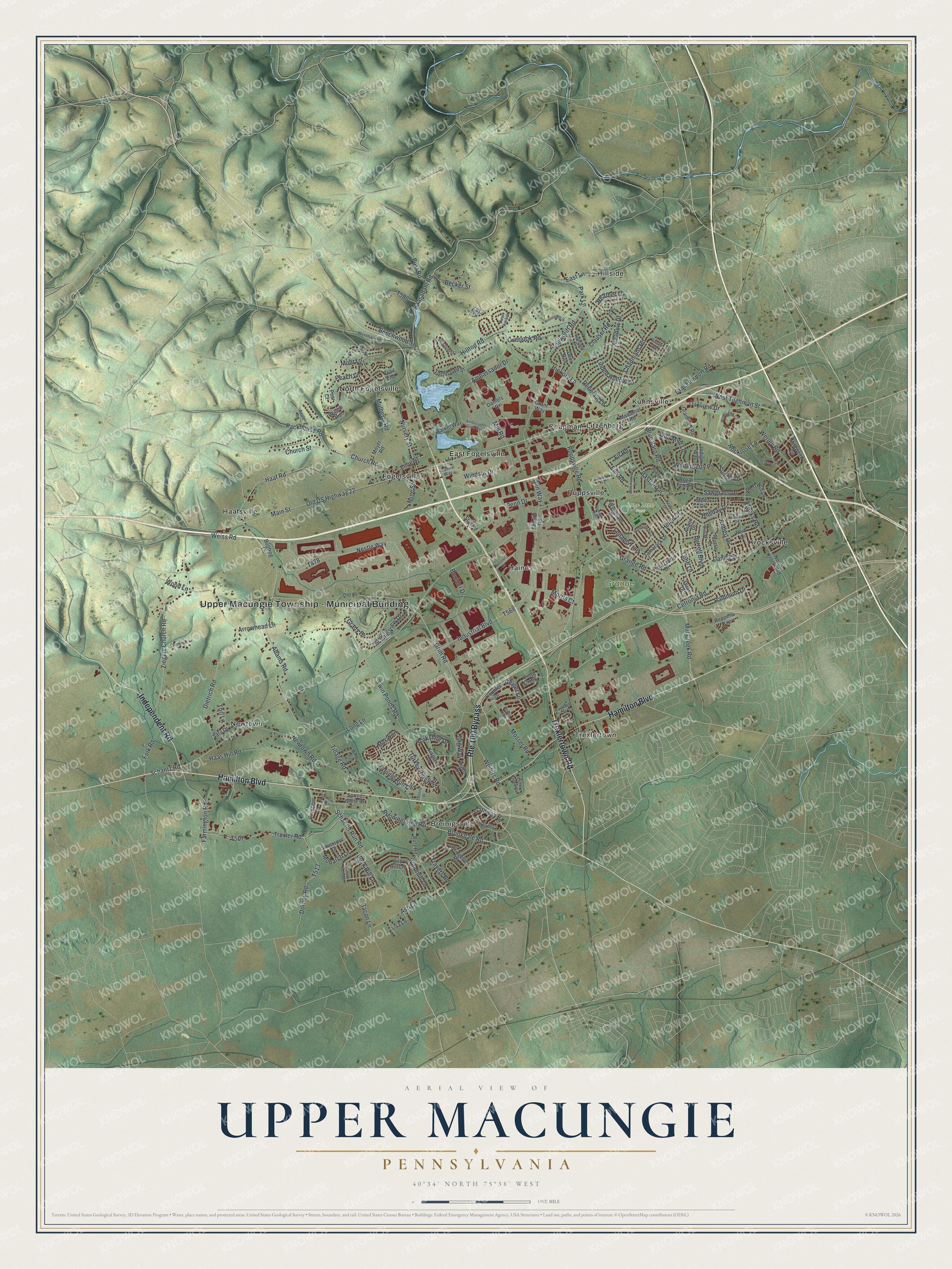
Created by KNOWOL in 2026, this print shows shaded hills and creek valleys in soft greens, with buildings in deep red and roads in pale white lines. The title panel reads Aerial View of Upper Macungie, Pennsylvania, with the coordinates 40°34' North 75°38' West.
It fits a living room, a home office or the hallway by the front door. It's a good gift for someone who grew up near Grange Park or in Fogelsville, or moved away from Breinigsville and still calls it home. Open the preview and find your own street. See sizes and frames for the Upper Macungie map.