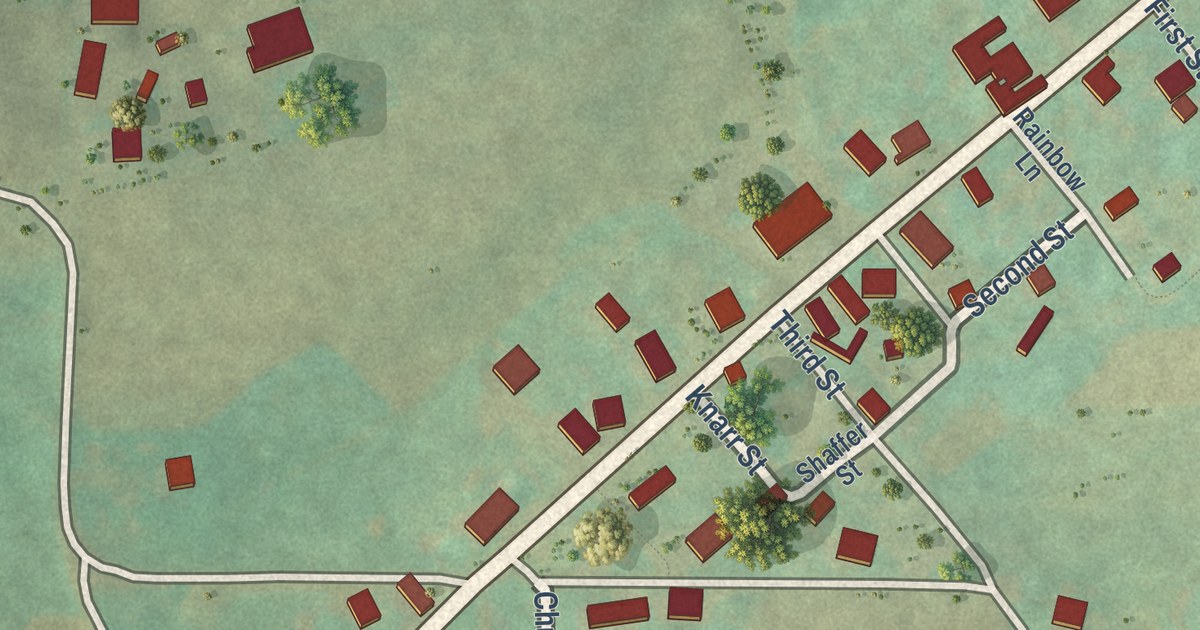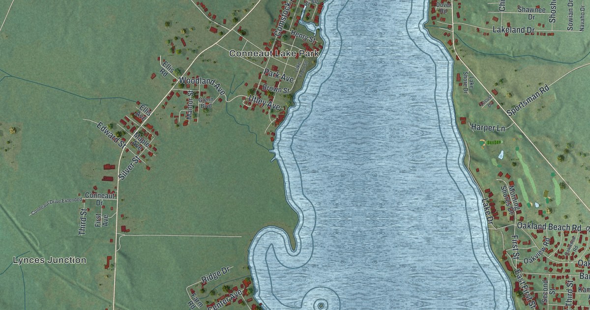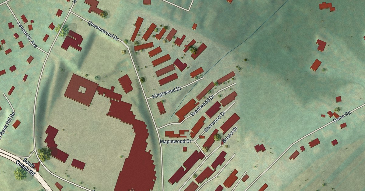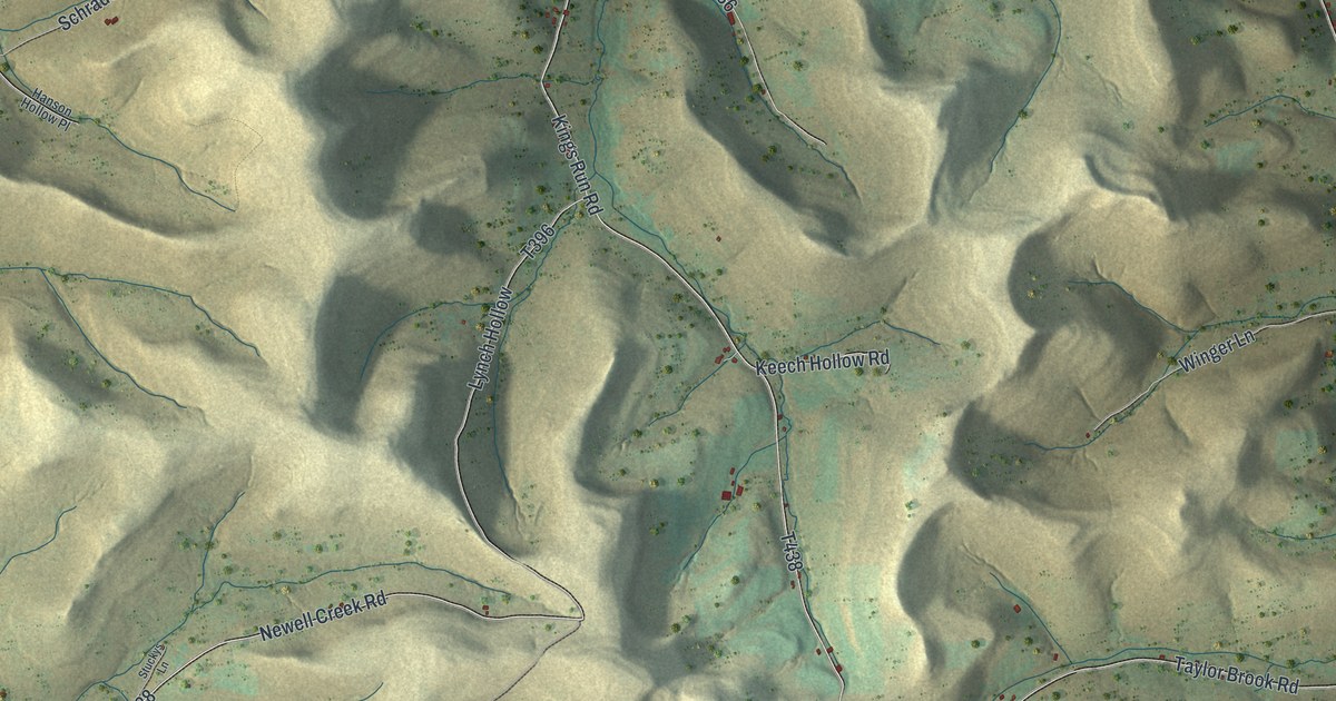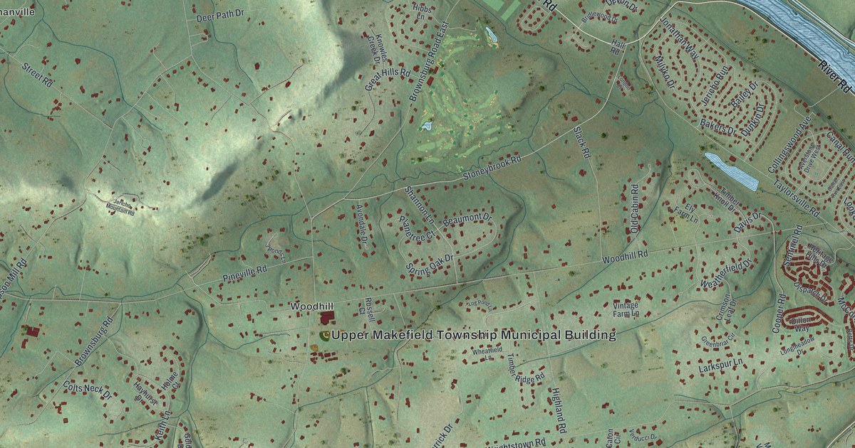
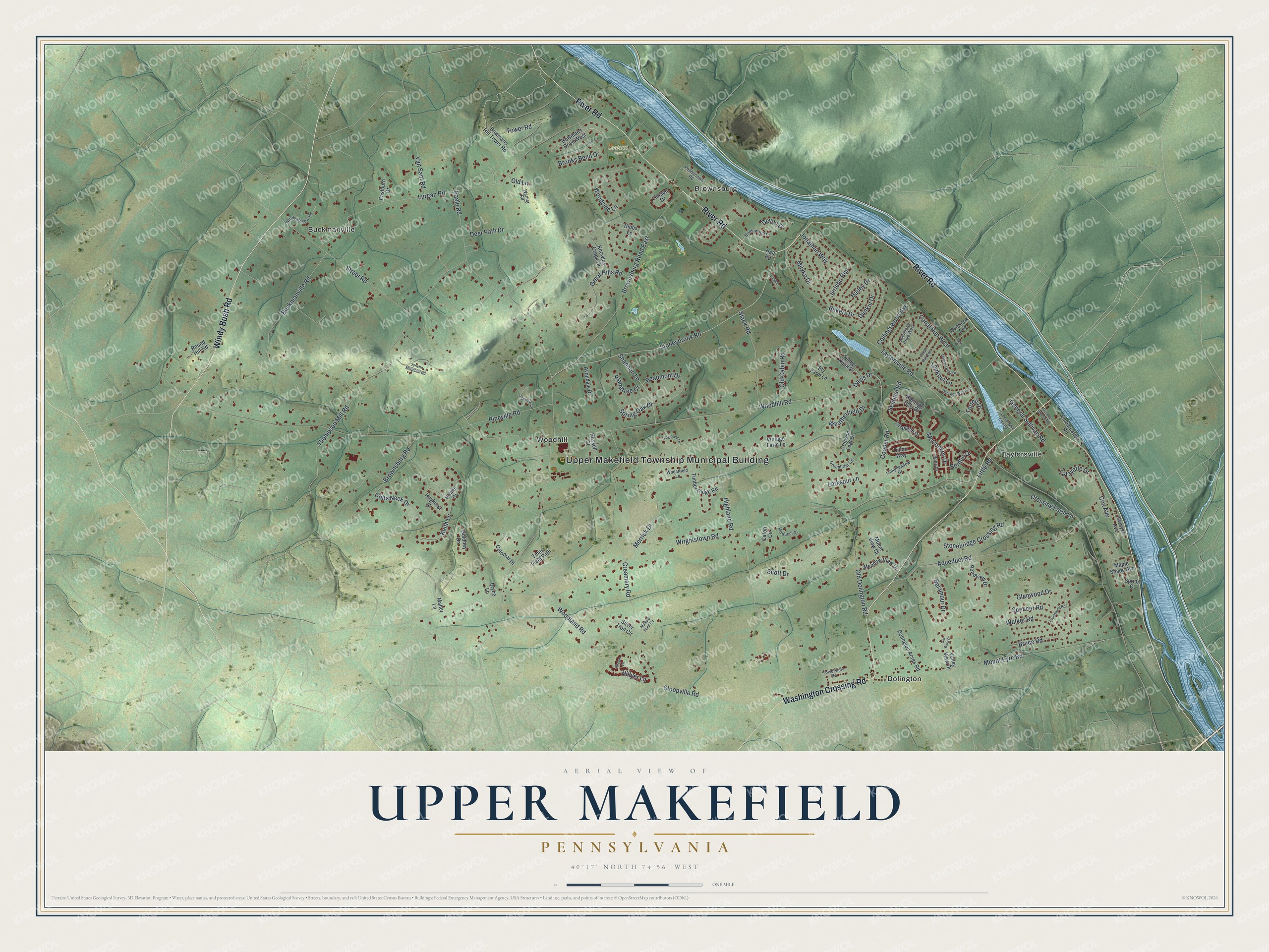
This beautifully detailed map of Upper Makefield, Pennsylvania was created in 2026 using aerial imagery combined with modern topographical, census, street and landmark data. It’s a one-of-a-kind view of Upper Makefield that combines accurate data with a vintage aesthetic. The map shows every building in its true location, many of the roads carry their names, and the shaded topographic relief shows the shape of the land.
Explore an aerial view of Upper Makefield, Pennsylvania
On the map you’ll find Upper Makefield Township Municipal Building, Lookout Park, Brownsburg, Buckmanville, Dolington, Taylorsville, and Woodhill, along with River Road, Washington Crossing Road, Windy Bush Road, Stoneybrook Road, Tower Road, and more. If you look closely you can even find your house accurately drawn in its correct location. Zoom in on the preview to look for yours.
Did you know this piece of Upper Makefield, Pennsylvania history?
George Washington led the Continental Army across the Delaware River from this township on Christmas night, 1776. The crossing led to the American victory at the Battle of Trenton the next morning. Before the crossing, Washington kept his headquarters at the Keith House.
Take a closer look at the Upper Makefield map
Street and place names on the Upper Makefield, Pennsylvania map
These names are printed on the map of Upper Makefield, Pennsylvania.
Places: Upper Makefield Township Municipal Building, Lookout Park, Brownsburg, Buckmanville, Dolington, Taylorsville and Woodhill.
Streets and roads: River Road, Washington Crossing Road, Windy Bush Road, Stoneybrook Road, Tower Road, Davis Drive, Weatherfield Drive, Beaumont Drive, Wrightstown Road, Taylorsville Road, Eagle Road, Woodhill Road.
More street names, A to Z
3 Ponds Lane, Aqueduct Road, Averstone Drive West, Avondale Drive, Bailey Drive, Bakers Drive, Beidler Drive, Belamour Drive, Betts Drive, Bowmans Drive West, Bowmans Hill Tower Road, Bridlewood Drive, Brooks Bend Drive, Brown Lane, Brownsburg Road, Brownsburg Road East, Bruce Road, Bryce Lane, Buckmanville Road, Canal Run East, Canal Run West, Caton Circle, Collingswood Avenue, Colonial Drive, Colts Neck Drive, Cooper Road, Cox Avenue, Creamery Road, Crestwood Road, Crimson Leaf Drive, Crossing Farm Lane, Decision Way East, Deer Path Drive, Devon Drive, Dillon Way, Dispatch Drive, Dolington Acres Road, Dunkin Drive, Durham Boat Drive, Eastburn Drive, Ely Farm Lane, Embarcation Road, General Greene Road, General Saint Clair Road, General Sullivan Road, Glenwood Drive, Goldney Drive, Great Hills Road, Greenbriar Circle, Hall Road, Hayhurst Drive, Heritage Hills Drive, Hibbs Lane, Highland Road, Hillyer Lane, Holme Court, Jericho Mountain Road, Jericho Run, Jonathan Way, Keith Lane, Knowles Creek Drive, Lafayette Drive, Larkspur Lane, Lenape Drive, Little Road, Log Pond Lane, London Court, Longmeadow Drive, Lookout Lane, Lurgan Road, Maher Lane, Mallard Pond Circle, Maple Shade Avenue, McConkey Drive, Meadow View Drive, Merrick Drive, Milyko Drive, Mount Eyre Road, Mount View Court, Old Barn Court, Old Cabin Road, Old Dolington Road, Old Lane, Overlook Avenue, Park Place, Pebbletown Road, Pineville Road, Planetree Court, Pondview Drive, Round Hill Road, Russell Court, Scott Drive, Sentinel Road, Shannon Lane, Silver Trail Circle, Slack Road, Spencer Road, Spring Court, Spring Oak Drive, Stonebridge Crossing Road, Stoopville Road, Street Road, Swayze Avenue, Terrell Drive, Thompson Mill Road, Timber Knoll Drive, Timber Ridge Road, Tines Field Path, Towerview Road, Valley View Drive, Van Sant Road, Verducci Drive, Vintage Farm Lane, Walker Road, Warner Road, Wheatfield Lane, Windy Hollow Road, Woodland Road, Woodside Lane.
See the Upper Makefield, Pennsylvania map on a wall
The Upper Makefield map as an 18 x 24 inch print in a black frame.

This beautifully detailed map of Upper Makefield makes an attractive addition to your office, library, or den, and it can even be used to teach children the geography and history of the area. It also makes a great gift for anyone with Upper Makefield roots. When you’re done exploring, click here to get your copy of the Upper Makefield map.