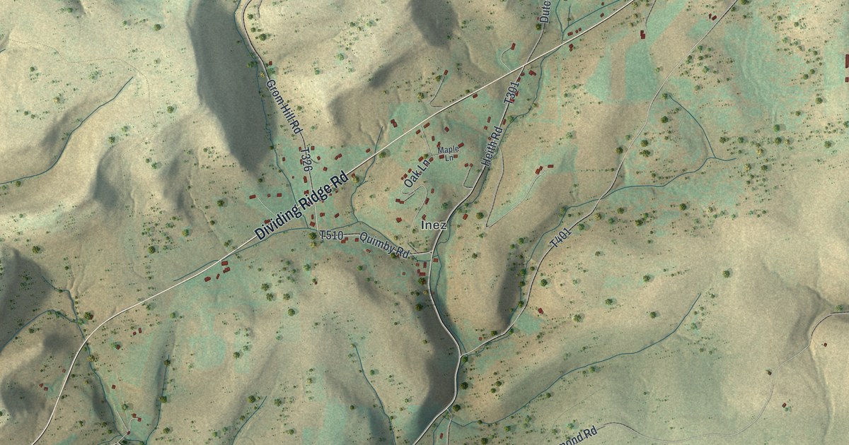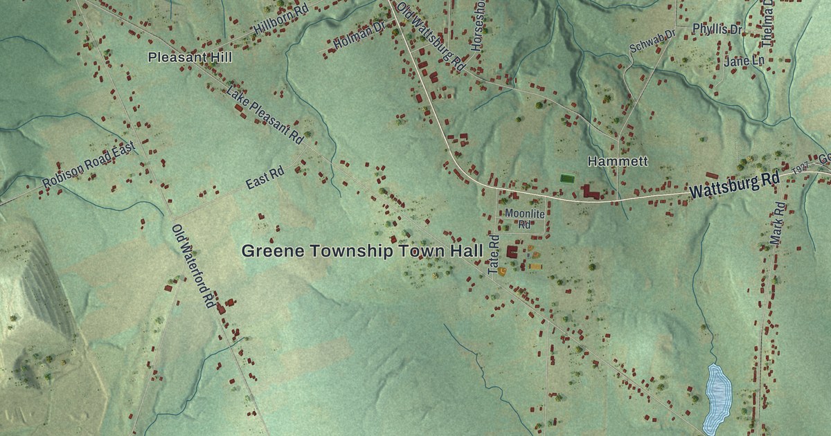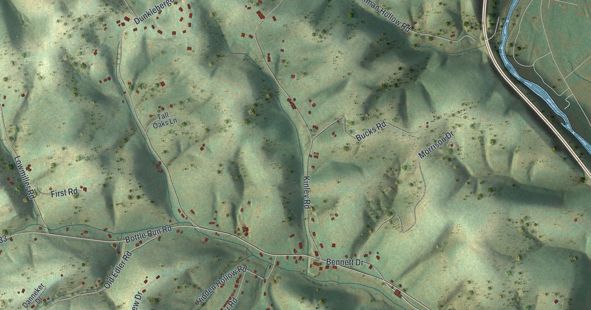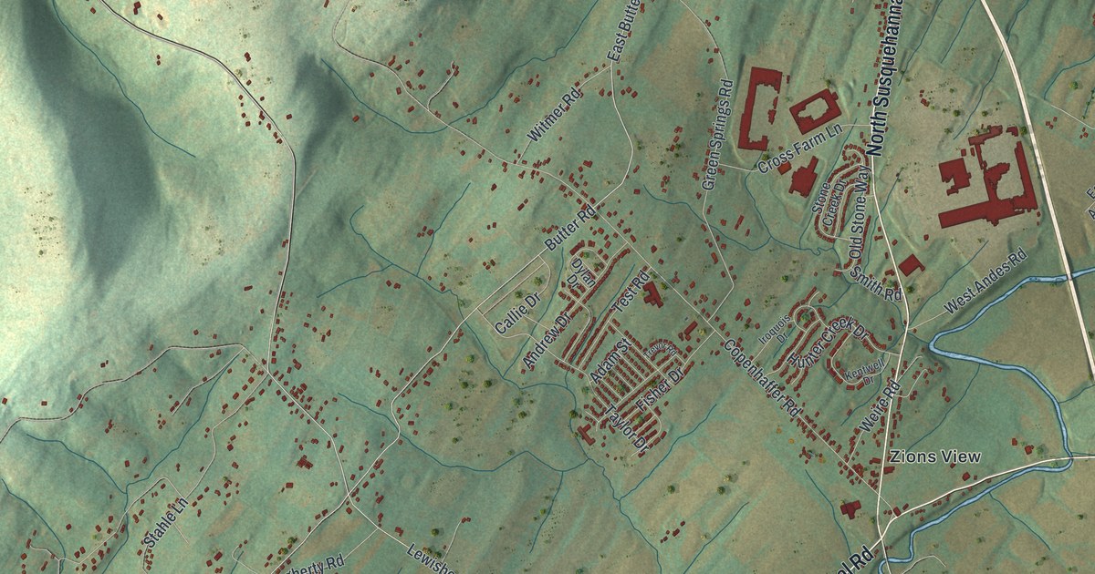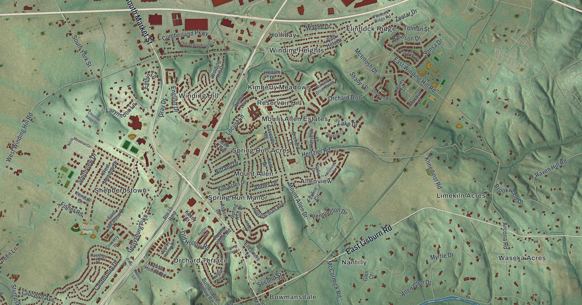
If you grew up in Shepherdstown, Grantham or one of the neighborhoods off Gettysburg Pike, this map is for you. It's a modern aerial view of Upper Allen Township in Cumberland County, Pennsylvania, made from modern data and given a vintage look. Green hills roll across the sheet, and thousands of homes and shops show up in red. A blue creek winds along the bottom, and wooded ridges rise on the right.
The old mills near Bowmansdale
On this map you'll find Gettysburg Pike, South Market Street, East Lisburn Road, West Lisburn Road, Grantham Road, Shepherdstown Road, Fisher Park, Mount Allen, Allenview, Bowmansdale, Grantham, Shepherdstown, Winding Hill, Spring Run Acres, Mill Road, and more. Each red shape is a building, so zoom in on the preview and look for yours.
Much of Upper Allen's early story happened along its creek. The Yellow Breeches Creek forms the township's southern line, with York County on the other side. Allen Township was formed in 1766. In 1850 it was split into Upper and Lower Allen. The 1886 county history says the first mill was built of logs. Richard Peters owned it until 1746. Later, the Quigley family settled close to what is now Bowmansdale. They built a mill there, and people called it Quigley's mill.
One of the best known was Roseberry's Mill. It stood where a bridge crossed the Yellow Breeches on the State road from Harrisburg to Gettysburg. That crossing was called Roseberry's Bridge. By 1886 the mill had carried the name for more than a century. Part of the land there was later owned by Harry McCormick. You can find Gettysburg Pike and McCormick Road on the map today.
Lime kilns and cherry fairs in Upper Allen
Mills weren't the only work here. Lime was burned in Upper Allen, sometimes in as many as fifty kilns at once. Today one neighborhood on the map is called Limekiln Acres. One old farm once had over 200 cherry trees. In season, people held "cherry fairs" under them. The owner made more money from his cherries than from his grain.
Keep Shepherdstown and Grantham close
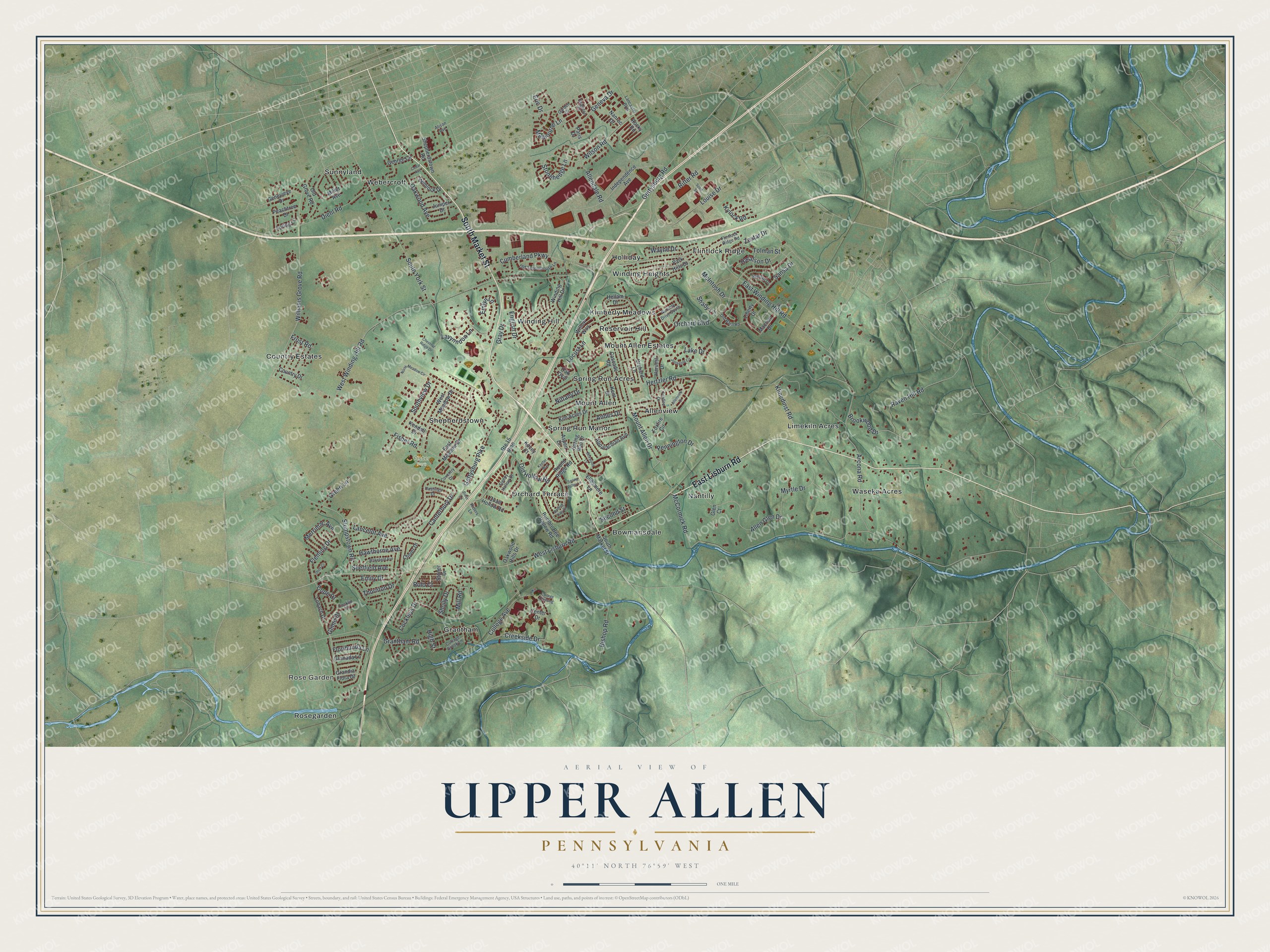
Created by KNOWOL in 2026, this print shows Upper Allen in soft greens, with shaded hills, red buildings and a blue creek winding along the bottom. The title panel reads Aerial View of Upper Allen, Pennsylvania, with 40°11' North 76°59' West printed below.
It fits a living room, a home office or a front hall. It makes a good gift for someone who grew up near Fisher Park, or for a friend who moved away from Shepherdstown. Open the preview and find your street. See sizes and frames for the Upper Allen map.