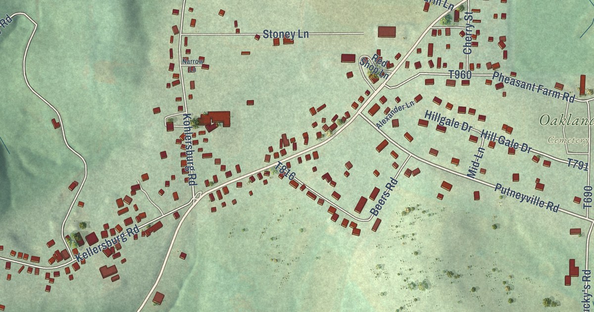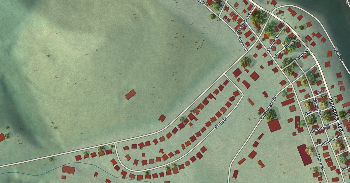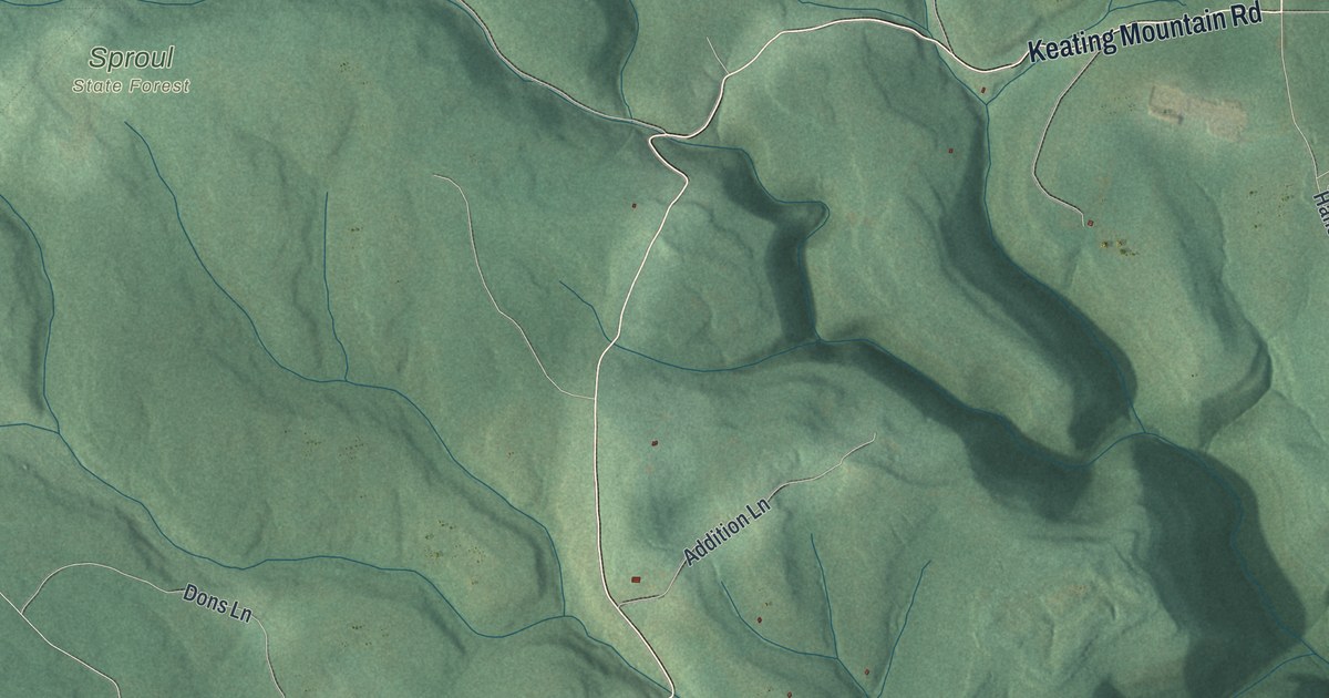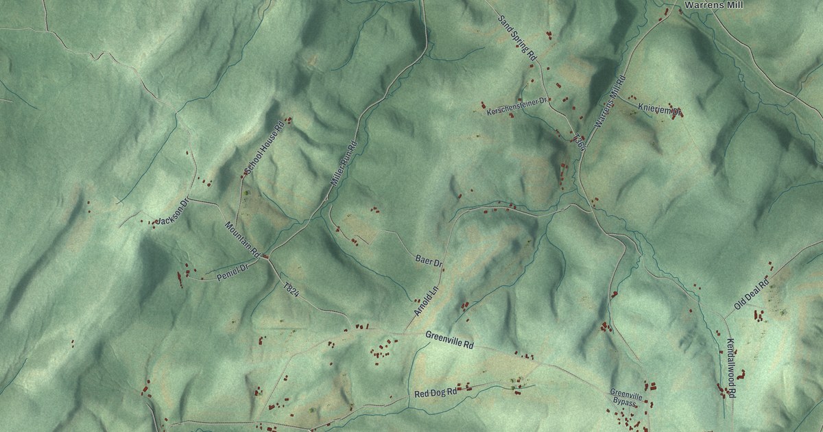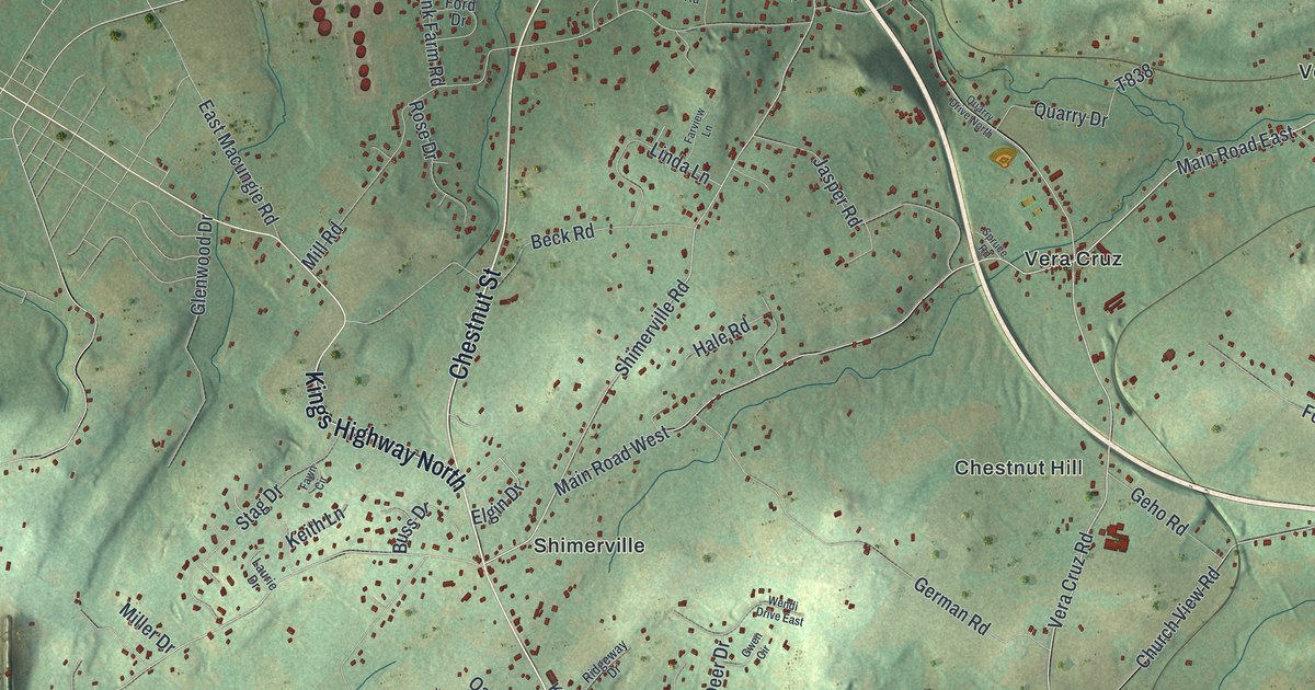
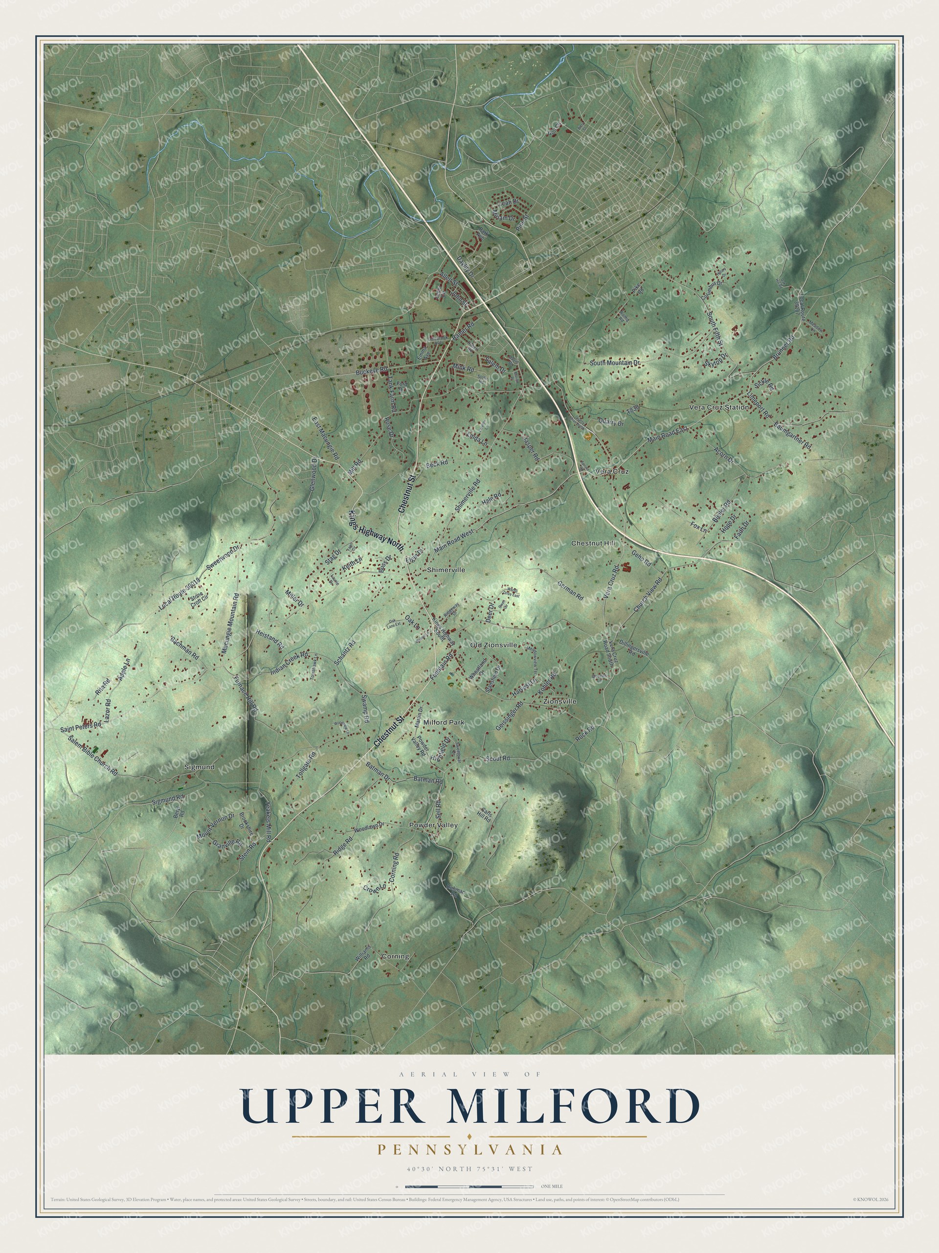
This beautifully detailed map of Upper Milford, Pennsylvania was created in 2026 using aerial imagery combined with modern topographical, census, street and landmark data. It’s a one-of-a-kind view of Upper Milford that combines accurate data with a vintage aesthetic. The map shows every building in its true location, many of the roads carry their names, and the shaded topographic relief shows the shape of the land.
Explore an aerial view of Upper Milford, Pennsylvania
On the map you’ll find Chestnut Hill, Corning, Milford Park, Old Zionsville, Powder Valley, Shimerville, Sigmund, Vera Cruz, Vera Cruz Station, and Zionsville, along with Chestnut Street, Kings Highway North, and more. If you look closely you can even find your house accurately drawn in its correct location. Zoom in on the preview to look for yours.
Did you know this piece of Upper Milford, Pennsylvania history?
In 1849 a post office opened in the village as Zionsville, and the name stuck. In 1854 the office moved to Shimersville and took that name, because changing mail from late night stages was a great bother. A second office opened in the old village in 1886 under the name Old Zionsville. That’s from the 1914 History of Lehigh County, Pennsylvania.
Take a closer look at the Upper Milford map
Street and place names on the Upper Milford, Pennsylvania map
These names are printed on the map of Upper Milford, Pennsylvania.
Places: Chestnut Hill, Corning, Milford Park, Old Zionsville, Powder Valley, Shimerville, Sigmund, Vera Cruz, Vera Cruz Station and Zionsville.
Streets and roads: Chestnut Street, Kings Highway North, Vera Cruz Road, Shimerville Road, Main Road East, Brunner Road, Limeport Road, Sell Road, Buckeye Road, Saint Peters Road, Salem Bible Church Road, Ramer Road.
More street names, A to Z
Acorn Drive, Allen Street, Apple Lane, Bachman Road, Batman Drive, Batman Road, Baumgartner Road, Beck Road, Beryl Road, Biery Street, Bleiler Road, Brookshire Drive, Buhman Road, Buss Drive, Carls Hill Road, Church View Road, Colebrook Avenue, Columbus Drive, Corning Road, Crown Lane, David Drive, Daylily Drive, Deer Drive, Dillingersville Road, East Macungie Road, Elgin Drive, Emma Avenue, Faith Drive, Farview Lane, Fawn Circle, Ford Drive, Fountain Road, Fox Lane, Furnace Hill Road, Geho Road, Geissinger Road, German Road, Glenwood Drive, Golf Circle, Granville Road, Gwen Circle, Hale Road, Harvest Lane, Heistand Road, Highfield Drive, Hillary Drive, Hope Drive, Indian Creek Road, Jasper Road, John Street, Keith Lane, Kings Highway South, Kohler Road, Laurie Drive, Lazor Road, Leah Drive, Lenni Circle, Linda Lane, Local Route 39018, Local Route 39107, Macungie Mountain Road, Main Road West, Marion Place, Martin Drive, Meadow Lane, Meadowview Terrace, Miller Drive, Mill Road, Mink Road, Miriam Drive, Mount Vernon Drive, Oak Hill Road, Oak Lane, Oak Lane Extension, Park Avenue, Pike Road, Pine Street, Powder Valley Road, Quarry Drive, Quarry Drive North, Queens Lane, Ridge Road, Ridgeway Drive, Rita Road, Robert Road, Rock Road, Romig Road, Rose Drive, Salem Drive, Schantz Road, Scout Road, Sickle Road, Sigmund Road, Skytop Drive, South Fifth Street, South Mountain Drive, Spruce Road, Stag Drive, Stansfield Drive, Stein Road, Stole Road, Stone Croft Circle, Swamp Road, Sweetbriar Drive, Sweetwood Drive, Tank Farm Road, Tollgate Road, Tomahawk Lane, Vera Cruz Road South, Walnut Lane, Wendi Drive East, Wheatland Drive, Williams Road, Woodlawn Drive, Woodview Lane, Yeakels Mill Road.
See the Upper Milford, Pennsylvania map on a wall
The Upper Milford map as an 18 x 24 inch print in a black frame.

This beautifully detailed map of Upper Milford makes an attractive addition to your office, library, or den, and it can even be used to teach children the geography and history of the area. It also makes a great gift for anyone with Upper Milford roots. When you’re done exploring, click here to get your copy of the Upper Milford map.