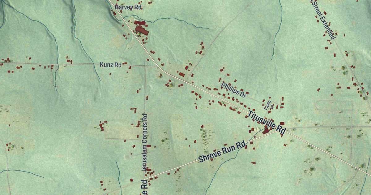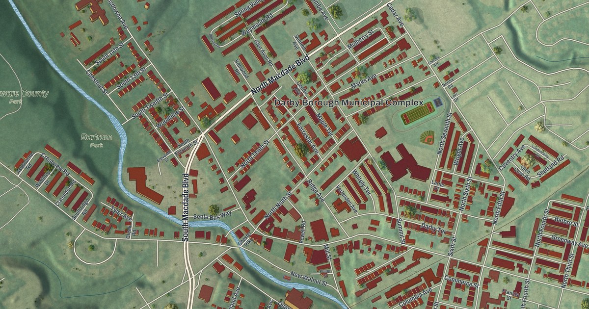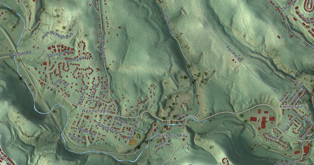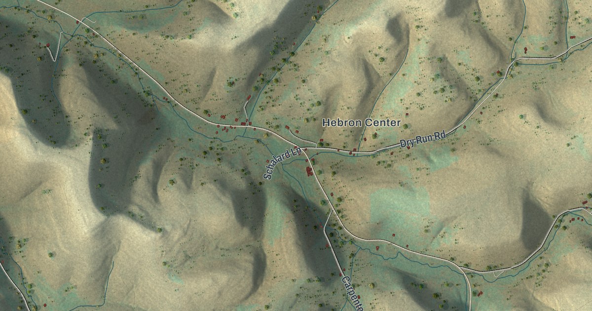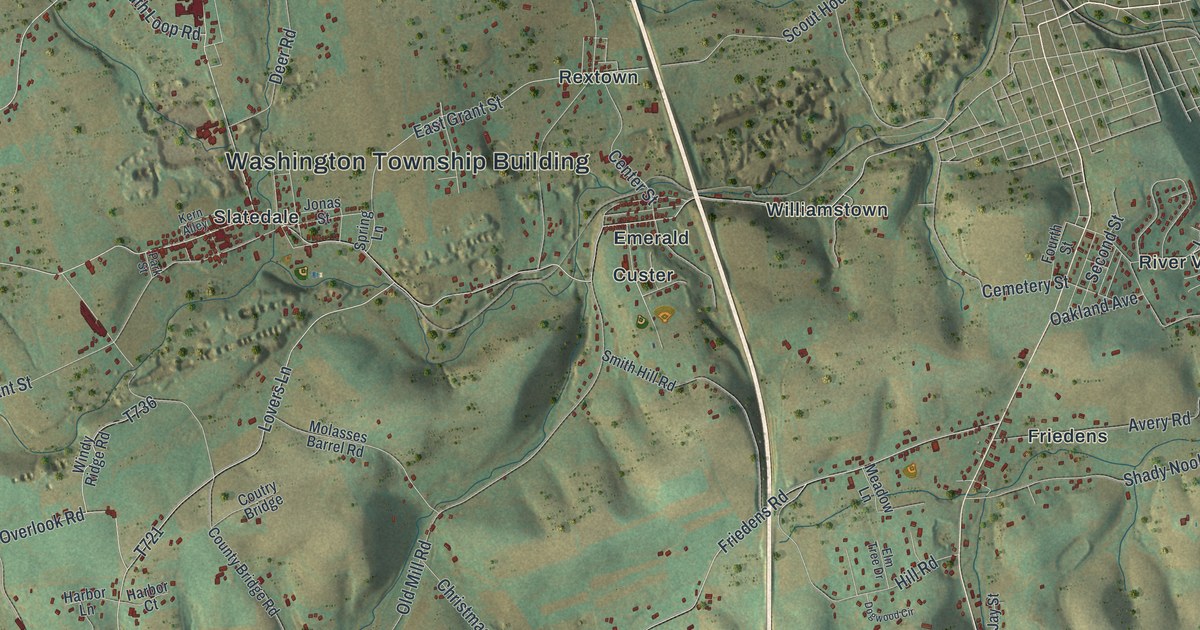
If you grew up in Slatedale, Friedens or Newhard, or your family still lives off Main Street, this map is for you. It's a modern aerial view of Washington Township in Lehigh County, Pennsylvania, made from modern data and given a vintage artistic feel. A long mountain ridge runs across the top of the sheet. A wide blue river curves down the right side, with Lehigh Gap near the top corner. In between, the hills fold into small valleys, and each village sits where the roads come together.
Slatedale, Friedens and the roads of Washington Township
On this map you'll find Main Street, the Washington Township Building, Slatedale, Lehigh Furnace, Peters Store, Friedens, Newhard, Williamstown, Welshtown, Best Station, State Game Lands 217, Apple Butter Road, Molasses Barrel Road, Trout Road, and more. Each red shape is a building, so zoom in on the preview and look for yours.
George Kern and the slate behind his mill
Slate made this township known. The 1914 History of Lehigh County says slate is found in the northern part, along the Blue Mountains, and calls it the leading industry. It also tells how one man found it by accident. In 1844, George Kern fixed up an old saw mill on Trout Creek. He needed something to keep his accounts on. So he went to the store of David and Charles Peter, about three miles from Slatington, to buy a slate.
The store had them, but the price was forty-five cents. George thought that was too high. The book even quotes him: "sicsaen zu hoch." He went home without one. Then he took an axe out to the ledge behind the mill. He split off a piece of rock, smoothed it a little and squared it. He hung it up as his account slate. He used it for three years before he knew he had slate on his land.
The same book says that old mill was where Franklin got timber sawed for Fort Allen. The Peter name still shows up on the map, at the spot printed Peters Store. Slatedale sits near the middle of the sheet, just below the Washington Township Building. Above it, the long ridge at the top of the sheet is the Blue Mountain side of the township, where the book says the slate was found.
A map of Washington Township, from Lehigh Gap to Newside
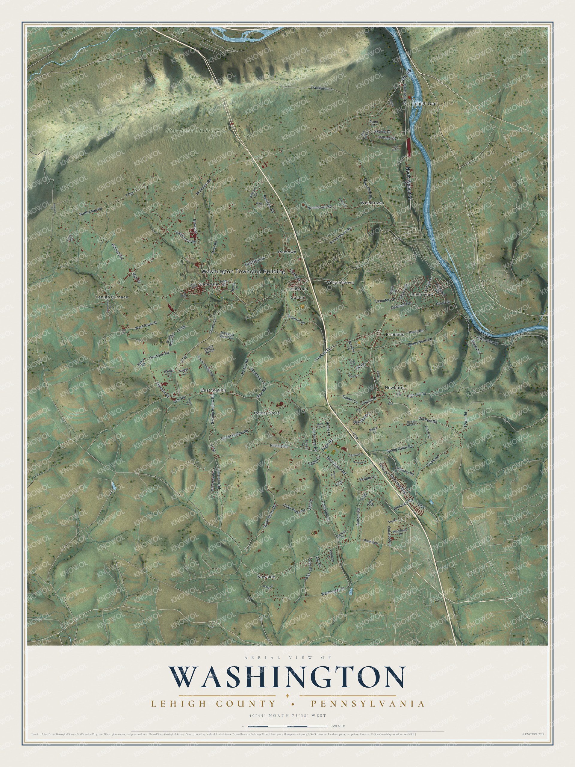
Created by KNOWOL in 2026, this print shows Washington Township in soft greens and tans, with shaded hills, a long mountain ridge across the top, a blue river along the right side and small red buildings in each village. The title panel reads "Aerial View of Washington," with "Lehigh County • Pennsylvania" below it and the coordinates 40°45' North 75°38' West.
It fits a living room, a hallway, a den or a home office. It's a good gift for someone who grew up near Slatedale or drove to the Washington Township Building for years, and for family who moved away from these hills. Open the preview and find your road. See sizes and frames for the Washington, Lehigh County map.