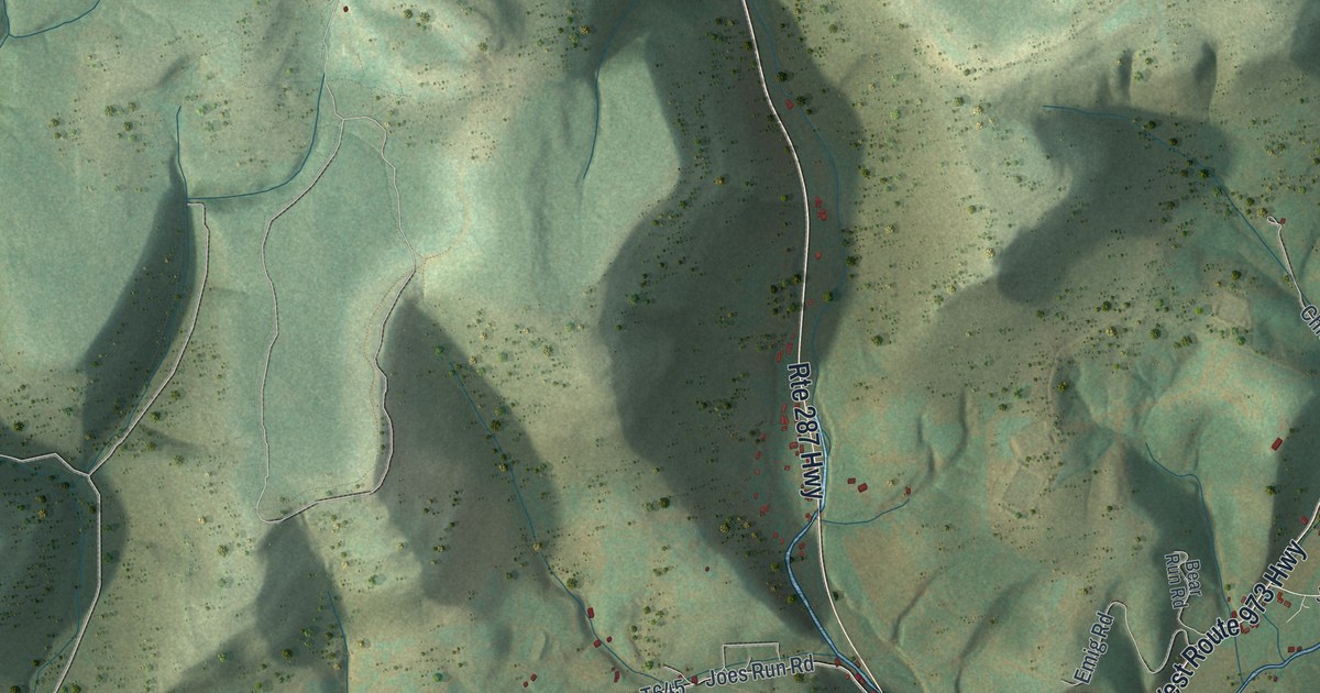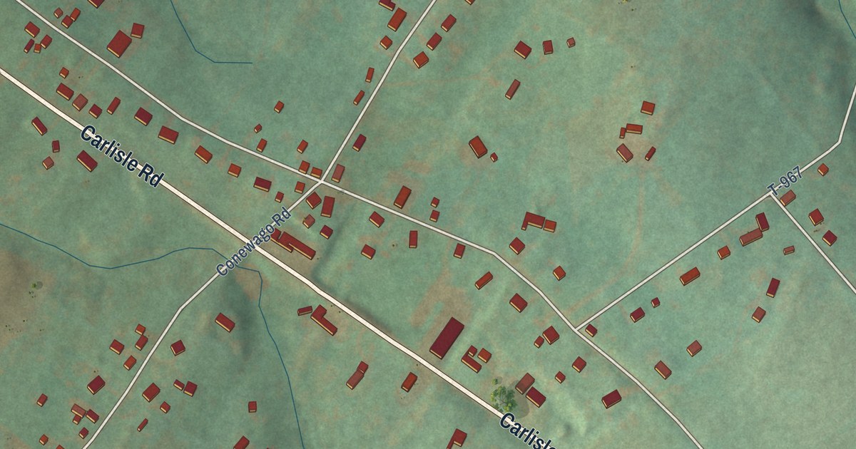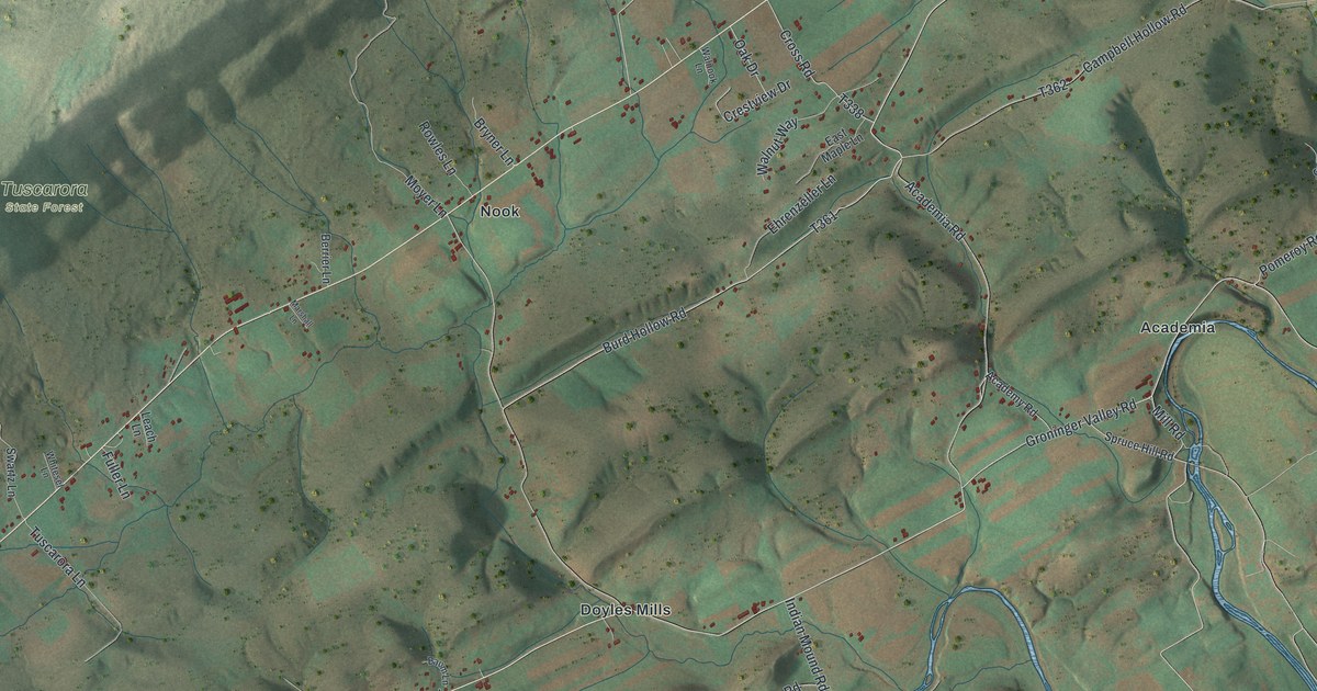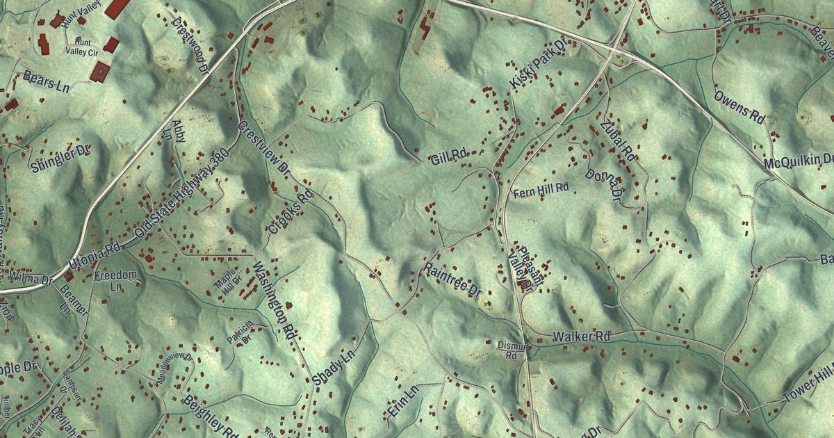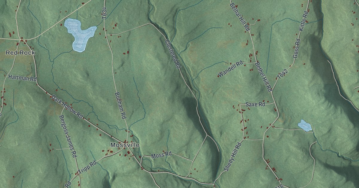
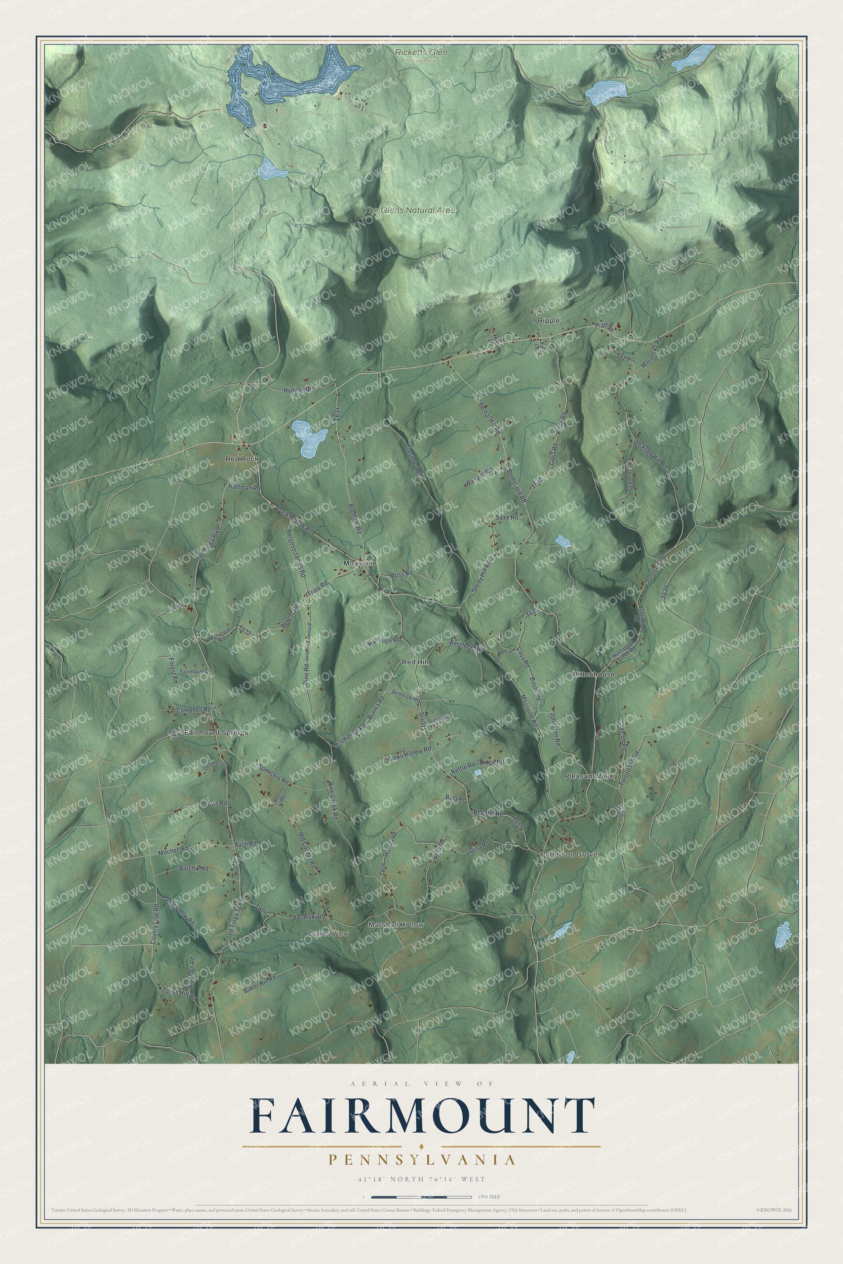
This beautifully detailed map of Fairmount, Pennsylvania was created in 2026 using aerial imagery combined with modern topographical, census, street and landmark data. It’s a one-of-a-kind view of Fairmount that combines accurate data with a vintage aesthetic. The map shows every building in its true location, many of the roads carry their names, and the shaded topographic relief shows the shape of the land.
Explore an aerial view of Fairmount, Pennsylvania
On the map you’ll find Clarks View, Marshall Hollow, Patterson Grove, Ricketts Glen State Park, The Glens Natural Area, Fairmount Springs, Mossville, Pleasant Valley, Red Hill, Red Rock, Ripple, Rittenhouse, and more. If you look closely you can even find your house accurately drawn in its correct location. Zoom in on the preview to look for yours.
Did you know this piece of Fairmount, Pennsylvania history?
From the History of Luzerne County: "Jonathan C. Pennington came to Fairmount township in 1827, where he still resides at the age of eighty-eight years."
Take a closer look at the Fairmount map
Street and place names on the Fairmount, Pennsylvania map
These names are printed on the map of Fairmount, Pennsylvania.
Places: Clarks View, Marshall Hollow, Patterson Grove, Ricketts Glen State Park, The Glens Natural Area, Fairmount Springs, Mossville, Pleasant Valley, Red Hill, Red Rock, Ripple and Rittenhouse.
Streets and roads: Bethel Hill Road, Saxe Road, Bethal Hill Road, Tubbs Hill Road, Goss Road, Kersteen Road, Sr4041, Bergoss James Road, Tripp Road, Burma Road, Bisthichan Road, County Line Road.
More street names, A to Z
Alberton Road, Baker Hill Road, Bala Road, Barchik Road, Bergos Road, Birth Road, Bonham Road, Booth Road, Bush Road, Campbell Road, Clustered Road, Coss Road, Crawford Road, Dark Hollow Road, Davis Road, Demnicki Road, Earl Lane, Fairmount Drive, Ferry Carrig Lane, Forest Road, Giza Road, Hanks Hollow Road, Hartman Road, Hess Lane, Hillside Lane, Houssock Road, Huntington Creek Road, Huntington Road, Hynick Road, Jackson Hill Road, Johnson Road, Johnston Road, Keller Road, Kettle Road, Kittle Road, Levis Hllw Road, Macdougle Road, Maransky Road, Mitchell Road, Moss Road, Mossville Road, Municipal Road, Old County Road, Old Tioga Pike, Old Tioga Turnpike, Piatt Road, Pine Creek Road, Pine Road, Red Hill Road, Ridge Road, Shedy Hill Road, Shortcut Road, Skapura Road, Spencers Road, Stonewall Lane, Talcott Hill Road, Talcott Road, Volanski Road, Vosberg-Comstock, Wandell Road.
See the Fairmount, Pennsylvania map on a wall
The Fairmount map as an 18 x 24 inch print in a black frame.

This beautifully detailed map of Fairmount makes an attractive addition to your office, library, or den, and it can even be used to teach children the geography and history of the area. It also makes a great gift for anyone who grew up in Fairmount or moved away. When you’re done exploring, click here to get your copy of the Fairmount map.