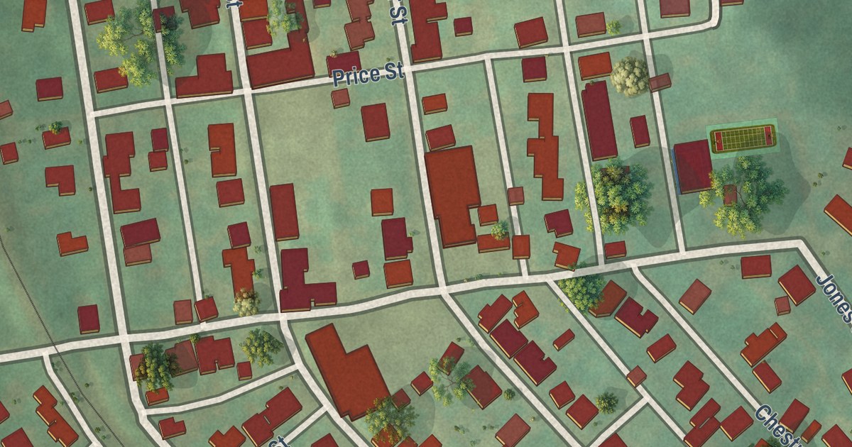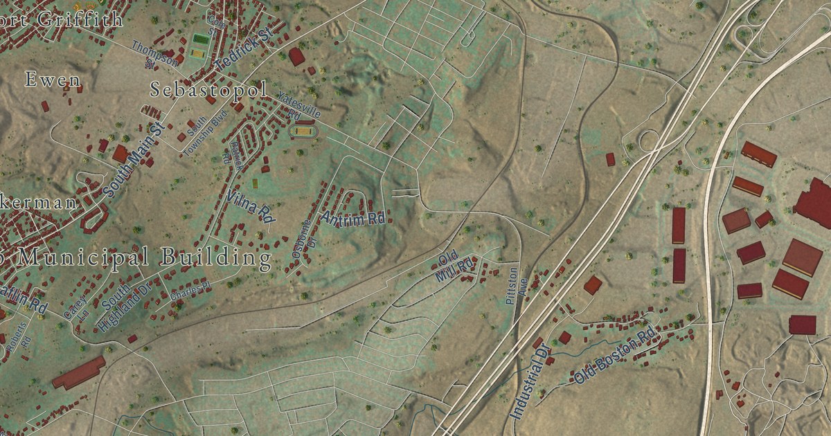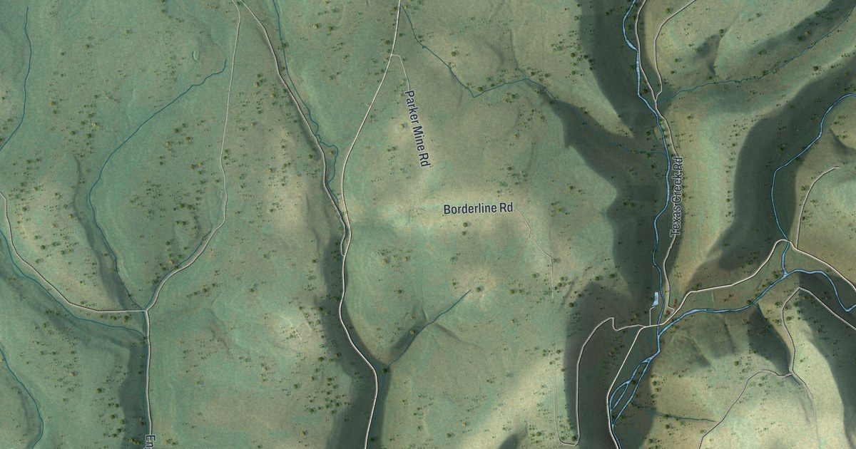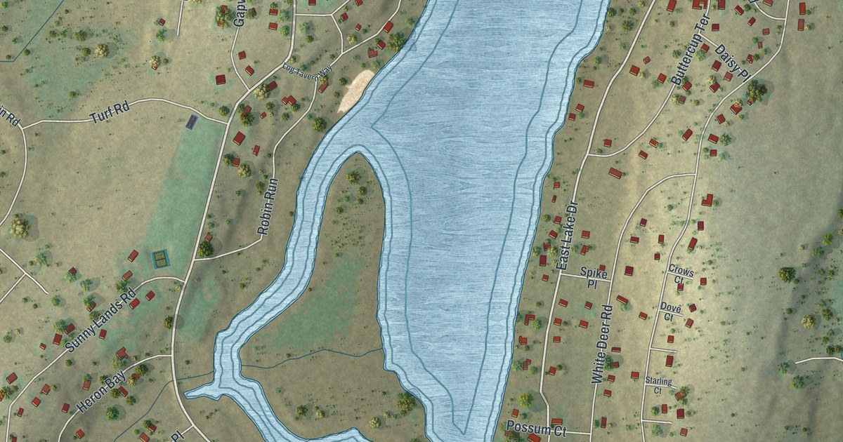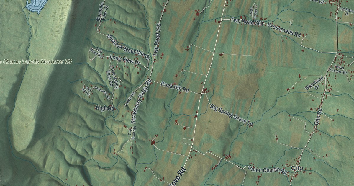
This beautifully detailed map of Ayr, Pennsylvania was created in 2026 using aerial imagery combined with modern topographical, census, street and landmark data. It’s a one-of-a-kind view of Ayr that combines accurate data with a vintage aesthetic. The map shows every building in its true location, many of the roads carry their names, and the shaded topographic relief shows the shape of the land.
Explore an aerial view of Ayr, Pennsylvania
On the map you’ll find Big Cove Tannery, Buchanan State Forest, State Game Lands Number 53, Cito, Tuscarora Summit, and Websters Mill, along with Buchanan Trail, Lincoln Way West, Great Cove Road, Lincoln Way East, Meadow Ground Road, Cito Road, and more. If you look closely you can even find your house accurately drawn in its correct location. Zoom in on the preview to look for yours.
Take a closer look at the Ayr map
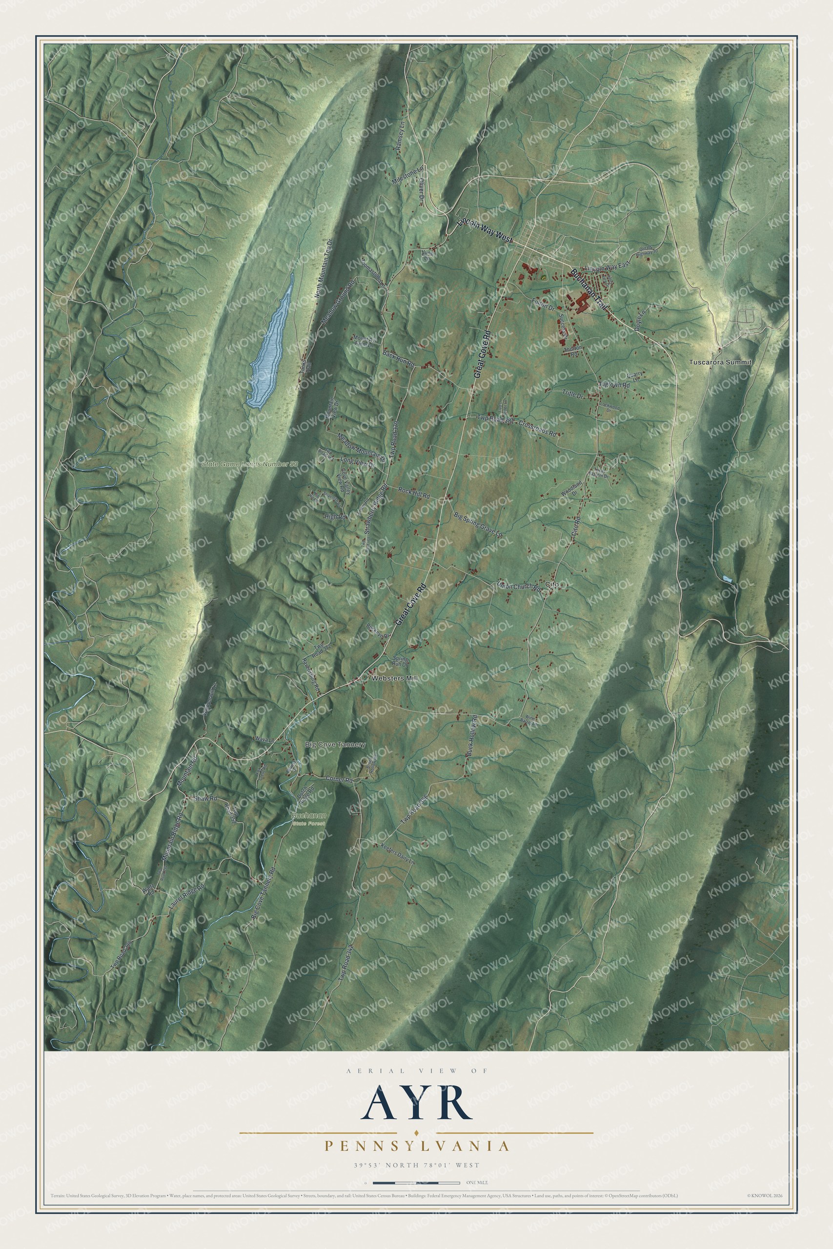
Street and place names on the Ayr, Pennsylvania map
These names are printed on the map of Ayr, Pennsylvania.
Places: Big Cove Tannery, Buchanan State Forest, State Game Lands Number 53, Cito, Tuscarora Summit and Websters Mill.
Streets and roads: Buchanan Trail, Lincoln Way West, Great Cove Road, Lincoln Way East, Meadow Ground Road, Cito Road, Corner Road, Twp Road 342, Big Cove Tannery Road, Back Run Road, Laurel Ridge Road, Buck Hollow Road.
More street names, A to Z
Big Spring Grave Lane, Bruce Hollow Road, Buckeye Drive, Cove Valley View Road, Crossroads Road, Doyle Lane, Dutch Ridge Road, Forrest Drive, Fox Crest Road, Fred's Bridge Lane, Fulton Drive, High Road, Jugtown Road, June Lane, Keefers Dairy Lane, Lockwood Drive, Long View Drive, Lower Road, Meadow Mountain Drive, Milestone Lane, Mountain Ridge Road, Mountain Road, Mountain View Drive, Mount Ayr Farm Lane, Nob Hill Road, North Mountain Top Drive, Old US Highway 30, Oliver Drive, Quarry Lane, Ramsey Lane, Ravensburg Road, Rock Hill Road, Serpentine Road, Shaw Road, Spring Run Drive, Strawberry Ridge Road, Success Drive, Tanks Trail, Texas Eastern Drive, Thomastown Lane, Thorton Road, Tritle Drive, Twp Road 338, Twp Road 352, Twp Road 354, Twp Road 356, Twp Road 372, Twp Road 379, Twp Road 381, Twp Road 467, Twp Road 468, Union Church Road, Valley View Drive, Waltz Road, Wava Lane, Whipporwill Lane, Wine Barrel Lane, Woodland Drive.
See the Ayr, Pennsylvania map on a wall
The Ayr map as an 18 x 24 inch print in a black frame.

This beautifully detailed map of Ayr makes an attractive addition to your office, library, or den, and it can even be used to teach children the geography and history of the area. It also makes a great gift for anyone with Ayr roots. When you’re done exploring, click here to get your copy of the Ayr map.