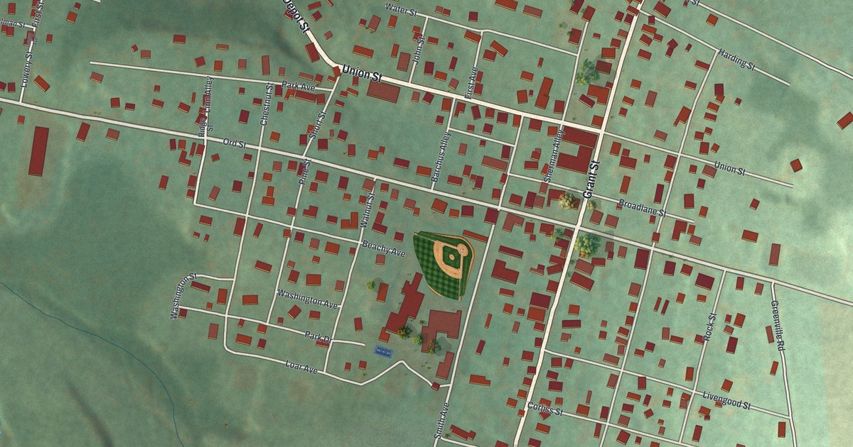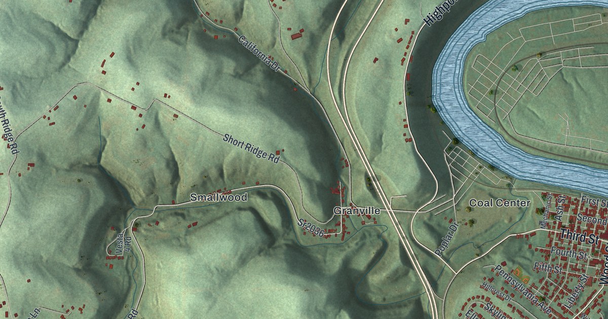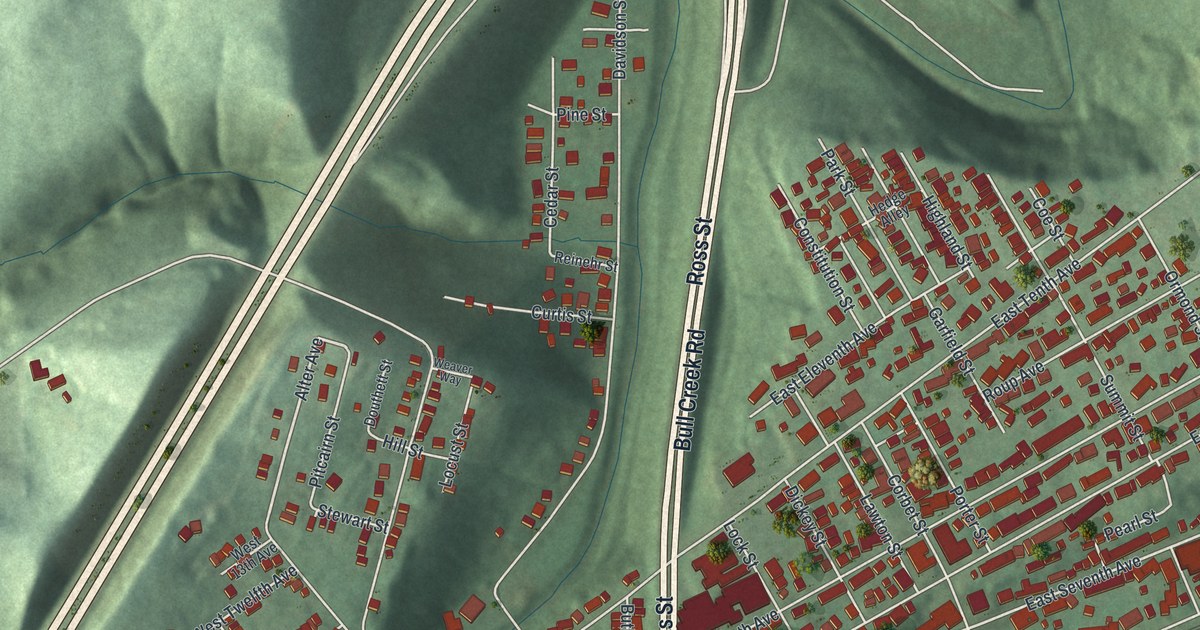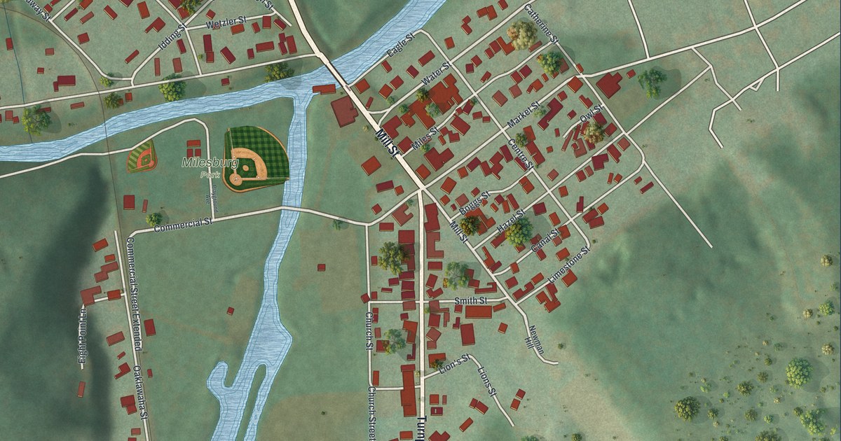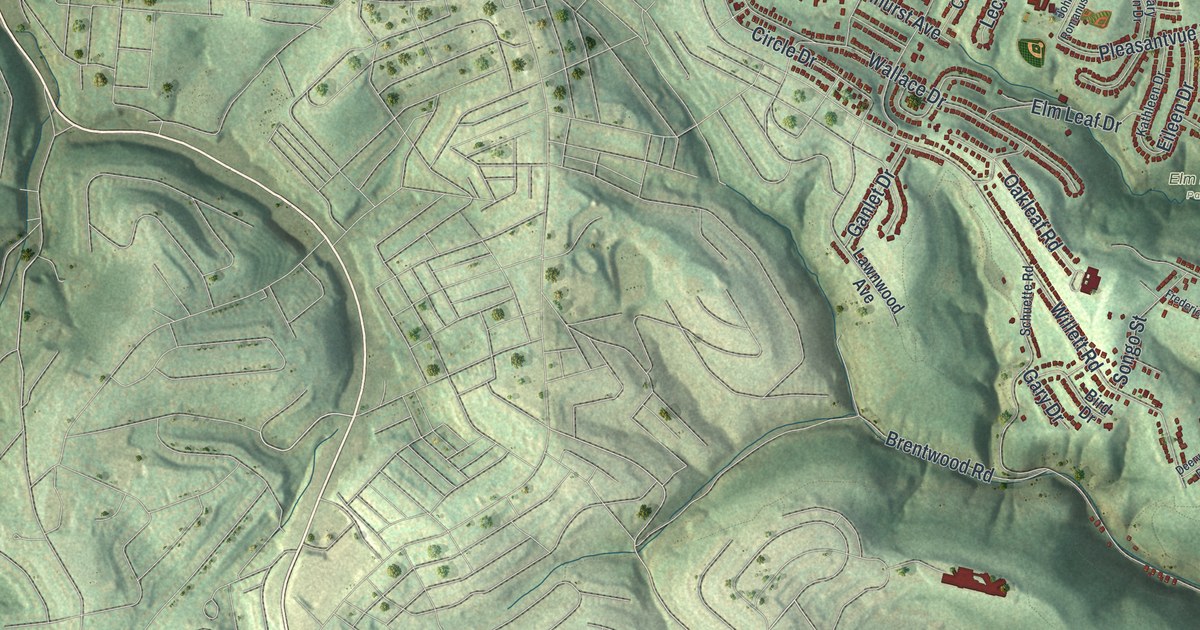
If you grew up in Baldwin, or you still drive Brownsville Road to get home, this map is for you. It's a new aerial view of Baldwin Borough in Allegheny County, Pennsylvania, made from modern data and given a vintage look. Green hills fold across the whole sheet, and deep hollows cut between them. Thousands of small red buildings fill the neighborhoods, from Willock and Surgeon Hall down to Horning and Curry. A wide blue river curves across the top right corner.
Brownsville Road, Churchview Avenue and Clairton Boulevard
On this map you'll find Brownsville Road, Clairton Boulevard, Churchview Avenue, Streets Run Road, Becks Run Road, Curry Hollow Road, Horning Road, Agnew Road, Elm Leaf Park, Willock, Surgeon Hall, Option, Curry, Horning, and more. Each red shape is a building, so zoom in on the preview and look for yours.
Henry Baldwin and the Township of 1844
The Baldwin name goes back to 1844. The 1889 History of Allegheny County tells how it started. In 1843, the county court picked three men to look at making a new township. It would take land from Jefferson, Mifflin, Upper St. Clair and Lower St. Clair. The land was surveyed at 10,446 acres. On February 24, 1844, the court made Baldwin Township its own part of the county. It was named for Henry Baldwin, one of the best-known early lawyers in Pittsburgh.
Henry Baldwin went on to serve this district in Congress from 1817 to 1823. In 1830 he was named to the United States Supreme Court. He served there until he died in 1846. The book says a strong German group was among the first settlers. A Horning family is on its list of early families, and Horning is printed near the bottom left of the map.
The same book names Beck's run and Street's run as two of the most important streams. Farming mattered here, it says, but the coal under the ground was the great source of wealth. You can still find those old stream names today. Look for Becks Run Road and Streets Run Road winding through the hollows.
From Becks Run Road to Elm Leaf Park
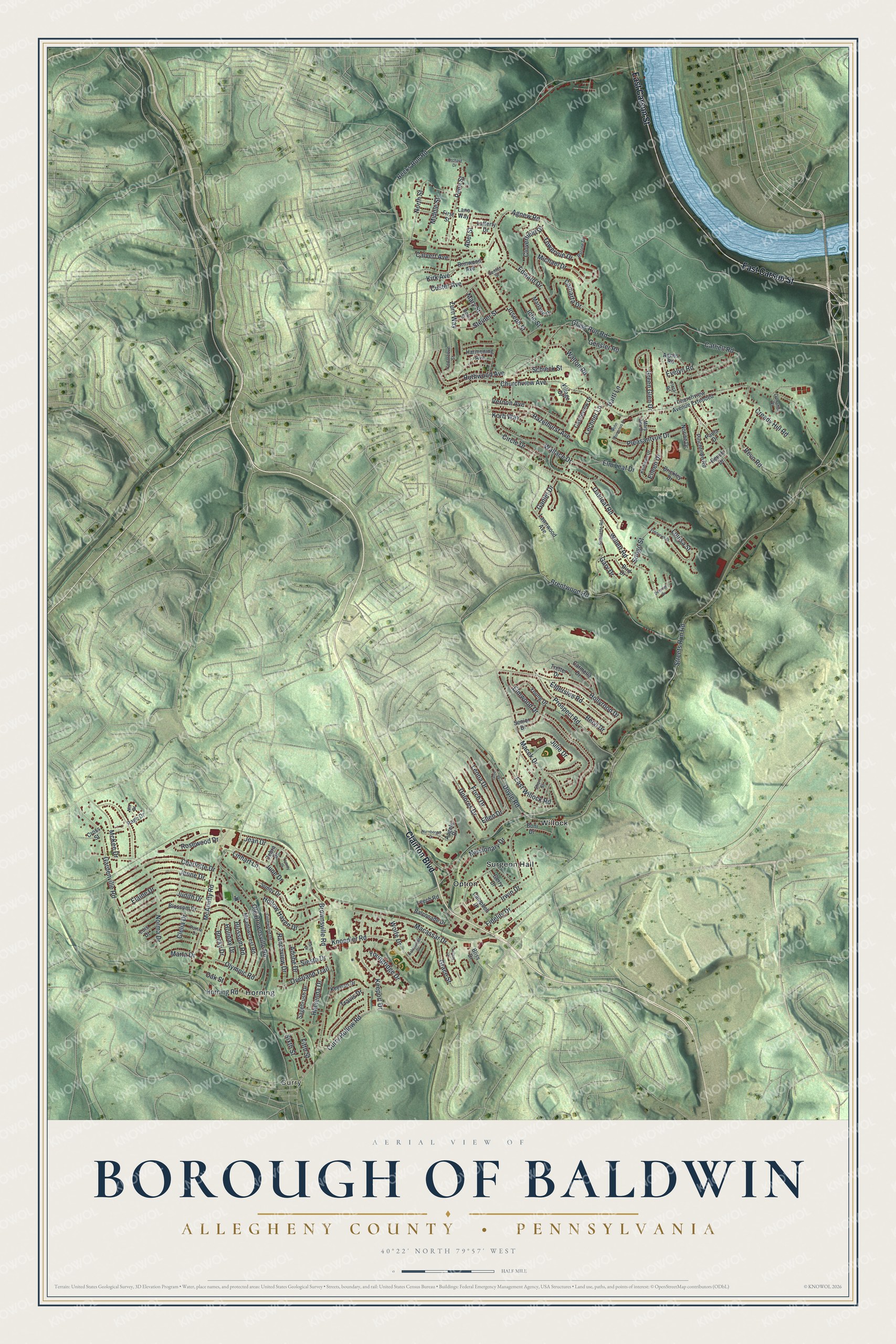
Created by KNOWOL in 2026, this print shows Baldwin's hills in soft green shading, with buildings in red and the river in blue. The cream title panel reads "Aerial View of Borough of Baldwin," with "Allegheny County • Pennsylvania" below it and the coordinates 40°22' North 79°57' West.
It fits a living room, a hallway or a home office. It's a good gift for someone who grew up near Elm Leaf Park or along Brownsville Road. Open the preview and find your own street. See sizes and frames for the Borough of Baldwin, Allegheny County map.