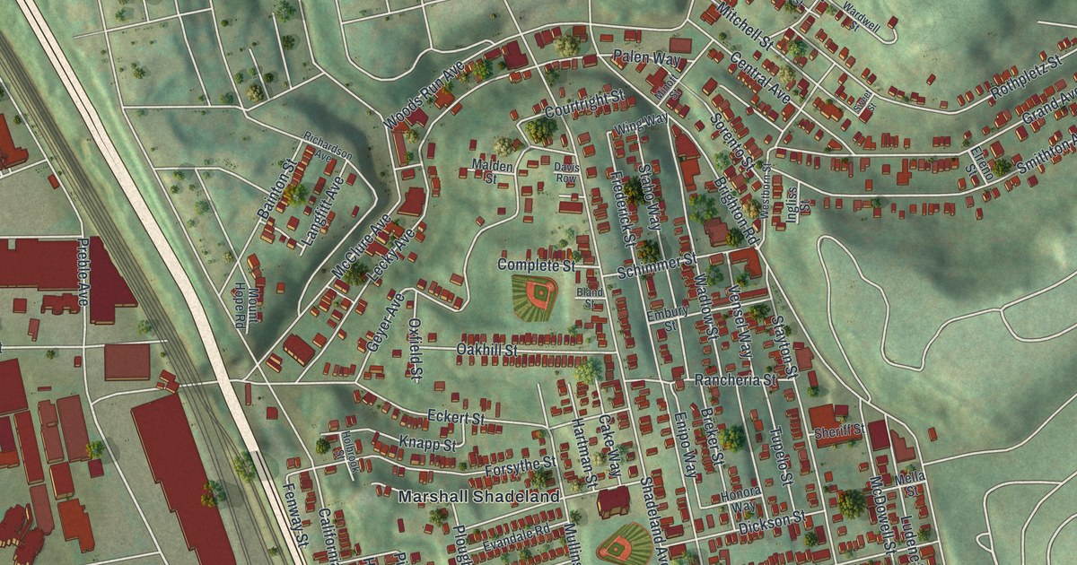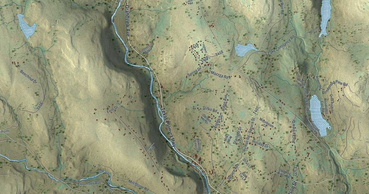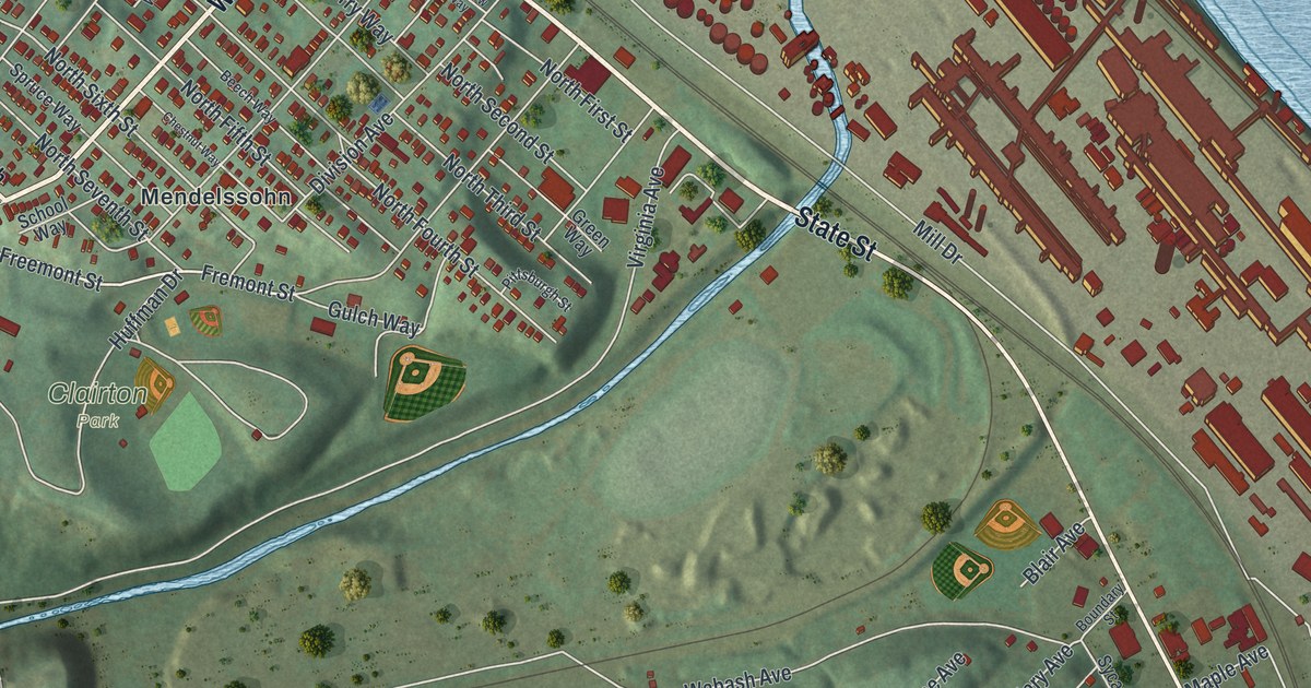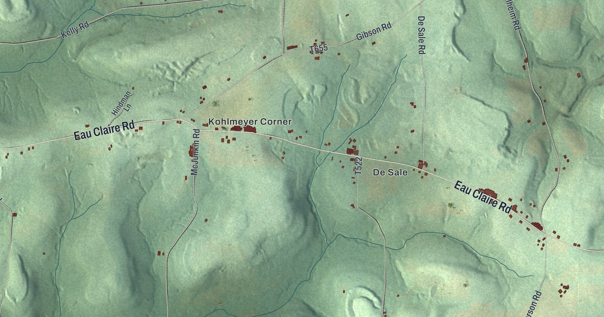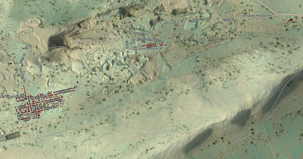
If you grew up in Tresckow or Junedale, or your family came from the coal towns up on the mountain, this map shows home. It's a modern aerial view of Banks Township in Carbon County, Pennsylvania, built from modern data and given a vintage look. The red rooftops of Tresckow sit near the left side. Leviston and Beaver Meadows sit across the top, with Junedale just below them near the middle. A long, steep ridge cuts across the lower half, with farm fields below it.
Coal at Leviston in 1812
On this map you'll find Tresckow, Junedale, Leviston, Beaver Meadows, Coxes Village, Audenried, McAdoo, the Banks Township Municipal Building, Main Street, East Main Street, Berwick Street, Hope Street, Chestnut Street, Banks Avenue, Spring Mountain Road, and more. Each red shape is a building, so zoom in on the preview and look for yours.
Banks Township grew up because of coal. The 1913 History of Carbon County says it owes its start wholly to the coal under the ground. Very little of its soil could be farmed. Nathan Beach found coal here in 1812. He was from Salem, in Snyder County. The spot was near where the Leviston station of the Lehigh Valley Railroad later stood. Beach opened a mine in 1813. His first coal went by wagon to Berwick and Bloomsburg, where blacksmiths burned it. Later it was hauled to a landing on the Lehigh and floated to Philadelphia in boats called arks. Look for Leviston near the top of the map, just west of Beaver Meadows.
The Jeanesville mine flood of 1891
Mining here was hard and dangerous work. On February 4, 1891, miners at the Number 1 slope at Jeanesville fired a blast. They broke into an old, flooded mine by mistake. The water rushed in. Thirteen men drowned. Four others were trapped for twenty days, cut off from the outside world. Then they were brought out alive. The county history calls them heroes of this tragedy. The county history places Jeanesville in Banks Township, in the same coal country as Tresckow and Junedale.
Tresckow, Junedale and Beaver Meadows on one print
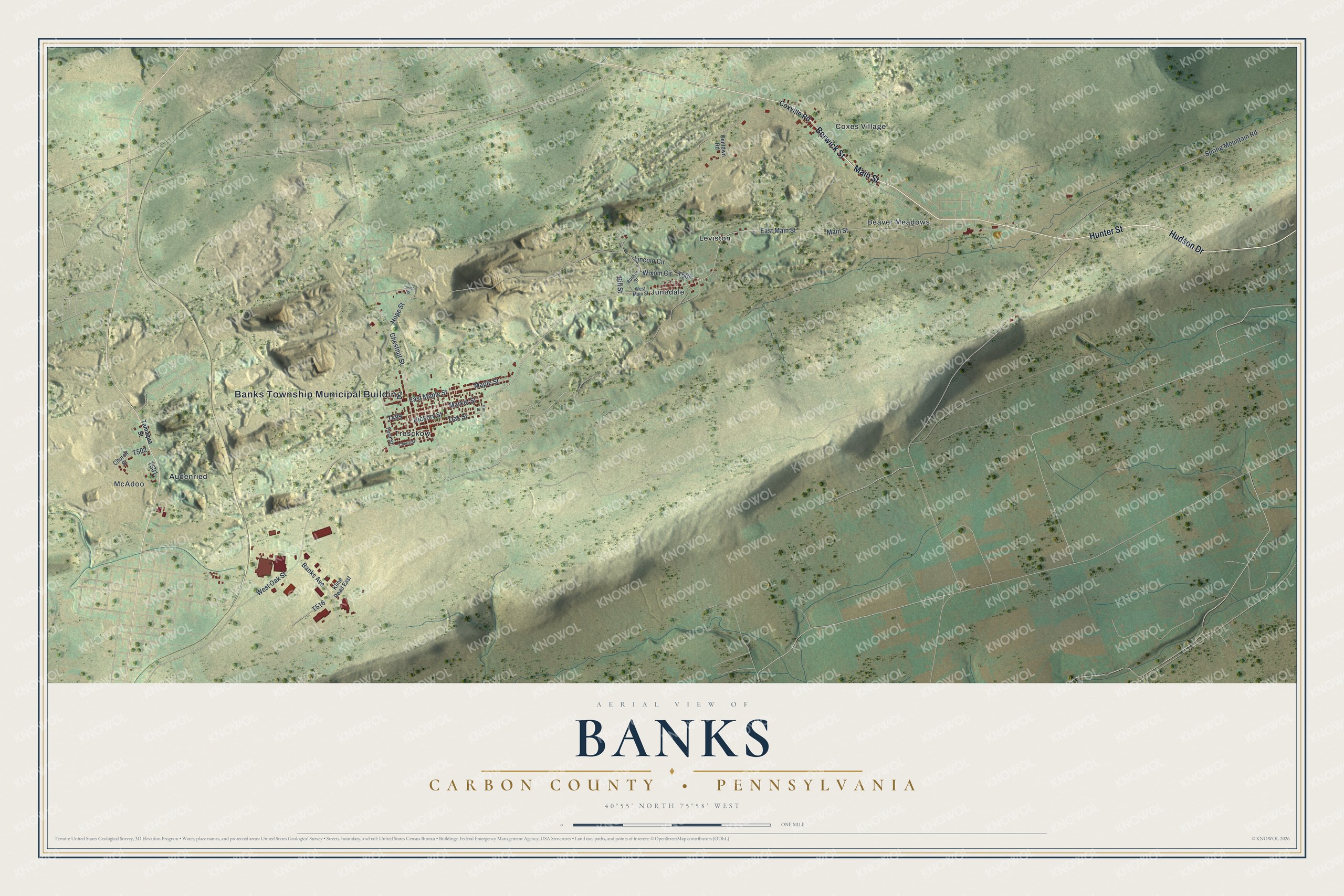
Created by KNOWOL in 2026, this print shows Banks Township from above in soft greens and tans, with shaded hills and red buildings. The title panel reads "Aerial View of Banks, Carbon County • Pennsylvania" and gives the spot as 40°55' North 75°58' West.
It fits a living room, a hallway or a den. It's a good gift for someone who grew up in Tresckow or Junedale and moved away, or for a family with miners in its past. Open the preview and find your street. See sizes and frames for the Banks, Carbon County map.