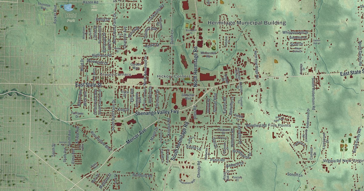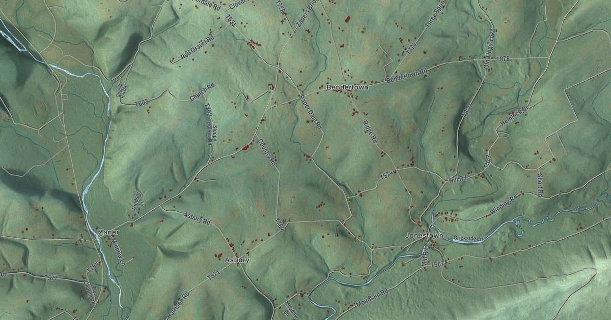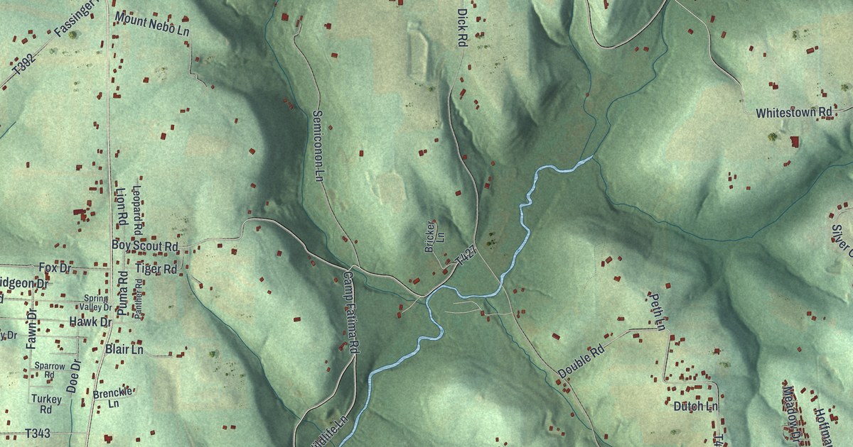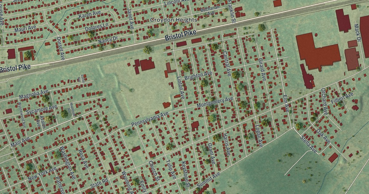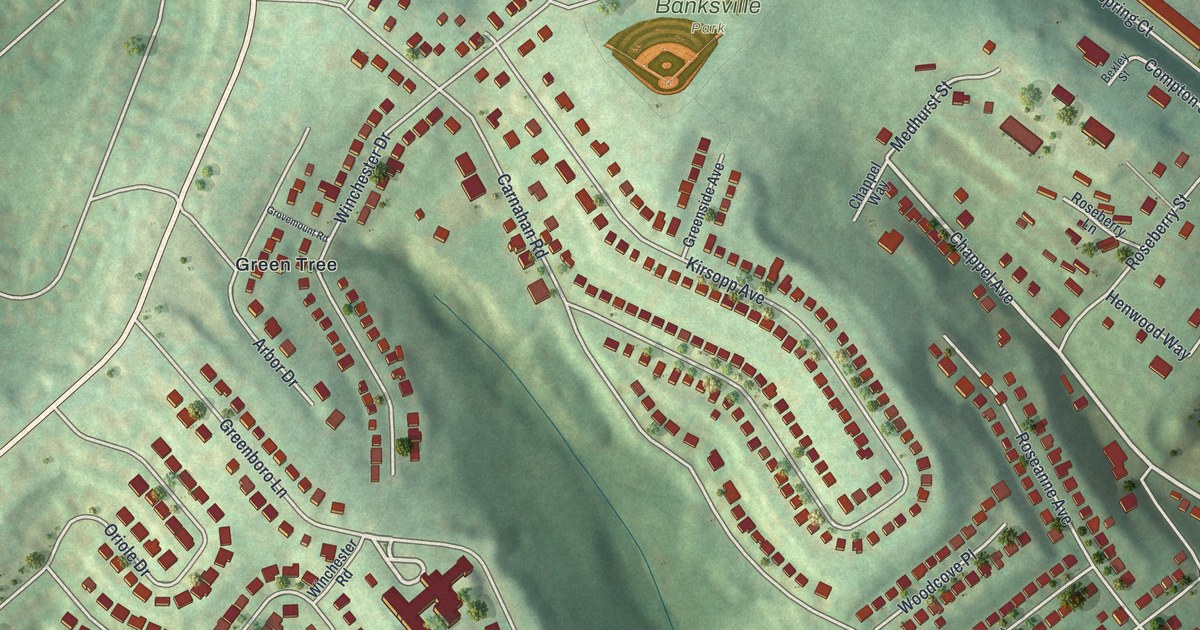
If you grew up on one of Banksville's hillside streets, or played ball in Banksville Park, this map is for you. It's a modern aerial view of Banksville in Allegheny County, Pennsylvania, made from modern data and given a vintage look. Green hills fill the sheet, shaded so each ridge and hollow stands out. Red houses climb the slopes on streets that bend and loop, and Banksville Road curves through the valley below them.
Banksville Road, Banksville Park and the Streets Between
On this map you'll find Banksville Road, Mc Farland Road, Banksville Park, Green Tree, Oakville Drive, Carnahan Road, Crane Avenue, Potomac Avenue, Chappel Avenue, Strachan Avenue, Hayson Avenue, Rose Garden Road, Greenboro Lane, Oak Manor Drive, and more. Each red shape is a building, so zoom in on the preview and look for yours.
Banksville is a place of hills, and the shading shows how steep the slopes get. The streets here don't make a grid. They bend with the land, and some of them curl back on themselves. A whole group of streets is named for oak trees: High Oak Drive, Red Oak Drive, Silver Oak Drive, Old Oak Drive and Pin Oak Place. Rows of long buildings line Oakville Drive. A small ball diamond sits inside Banksville Park, near the middle of the sheet. The park has its own entrance road, printed on the map as Banksville Park Entr.The buildings crowd closest together along Banksville Road, near Mc Farland Road.
Banksville and How Pittsburgh Got Its Name
The state historical marker data lists a Pittsburgh marker for PA 51 at the south city line. It tells the city's story in a few short lines. It says General Forbes named the place for William Pitt after the French Fort Duquesne fell in 1758. The town was laid out in 1764, and it became a city in 1816. The marker calls Pittsburgh the "Gateway to the West and steel center of the world."
Keep Banksville Park and Banksville Road Close
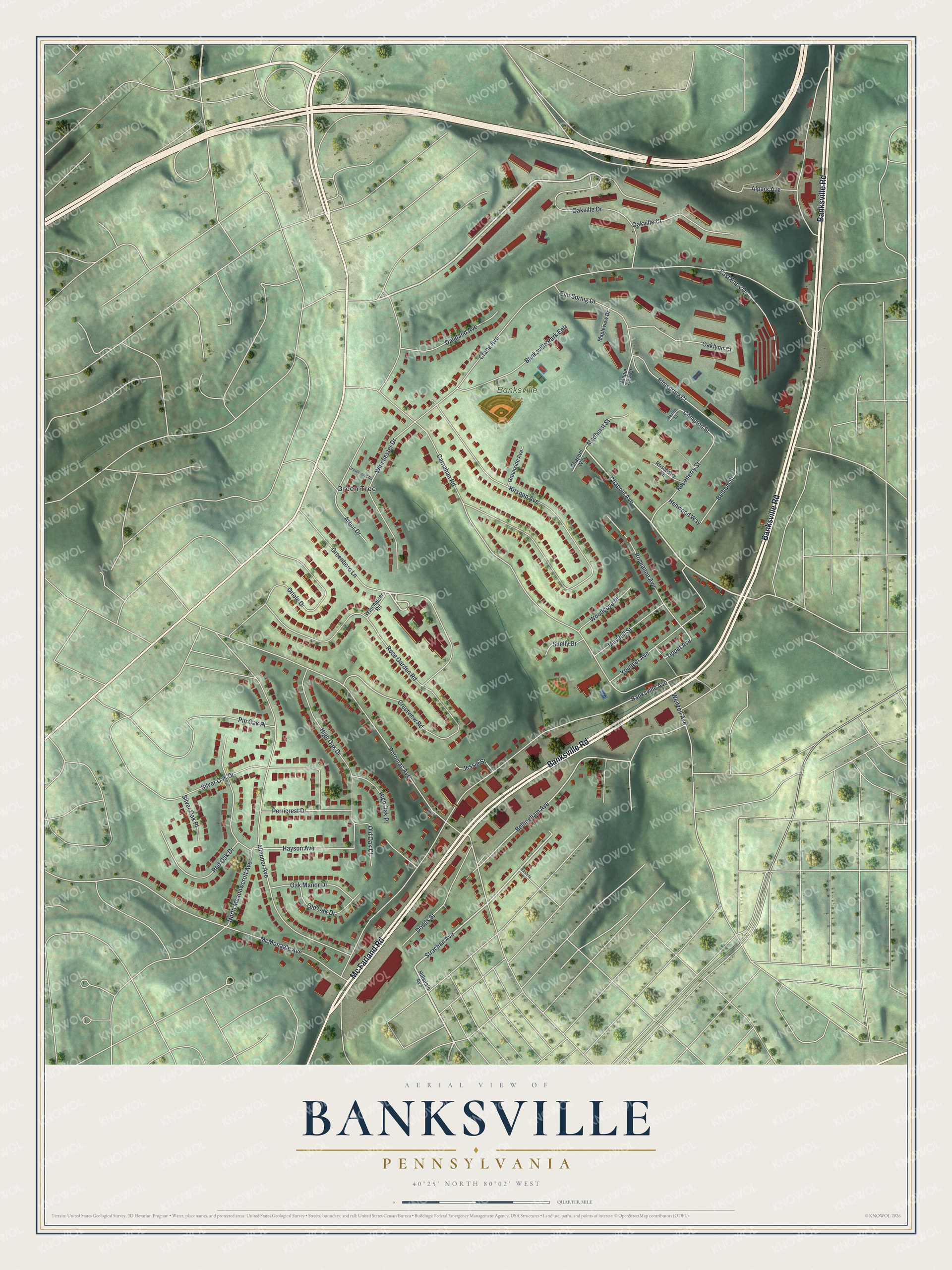
Created by KNOWOL in 2026, this print shows Banksville in soft greens, with shaded hills, pale roads and red buildings. The title panel at the bottom reads "Aerial View of Banksville, Pennsylvania" with the coordinates 40°25' North 80°02' West.
It fits a living room, a home office or the hallway by the front door. It's a good gift for someone who played ball in Banksville Park or grew up on Crane Avenue, and for anyone who moved away and misses these hills. Open the preview and find the street you know best. See sizes and frames for the Banksville map.