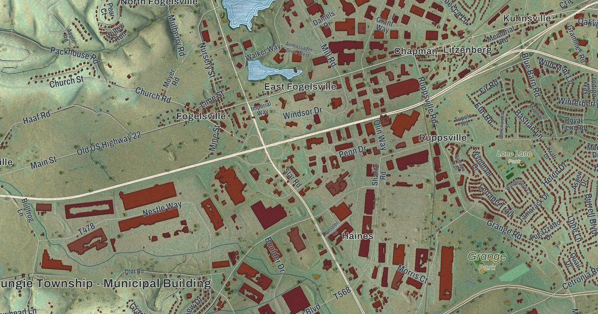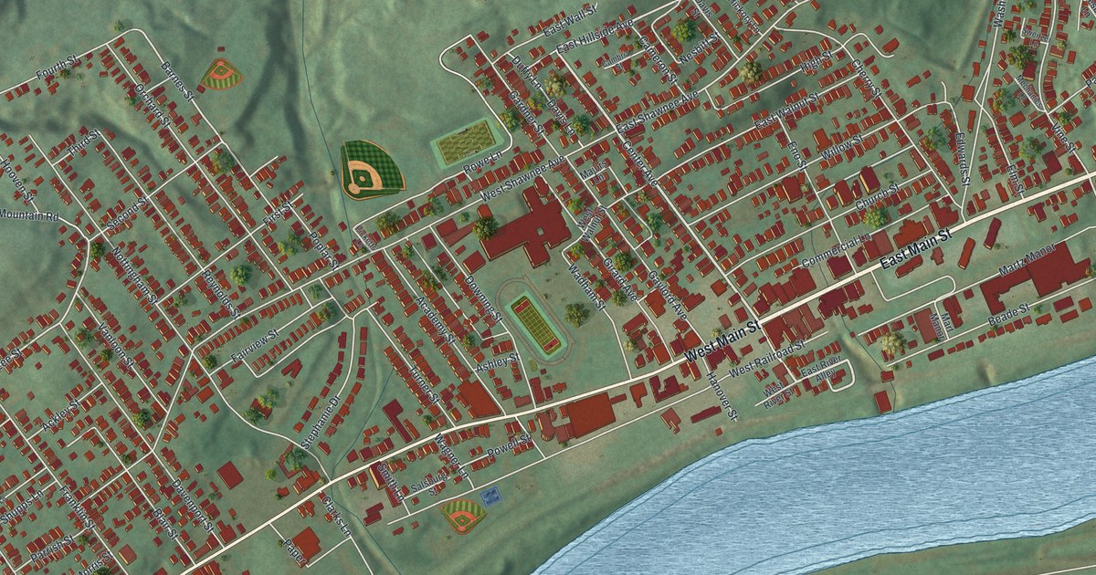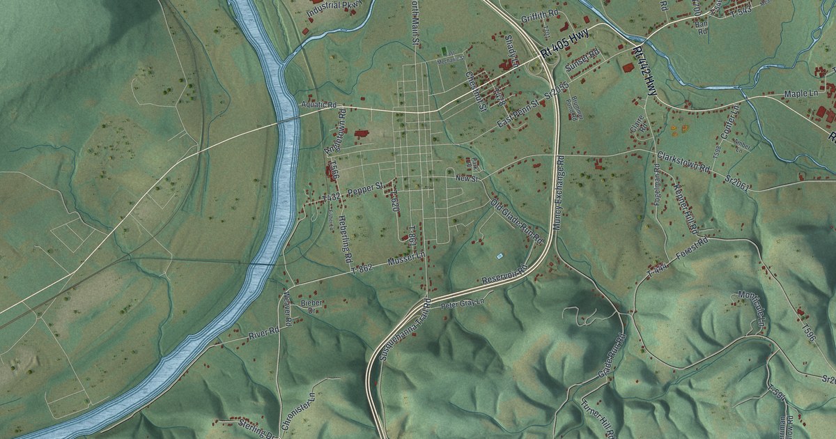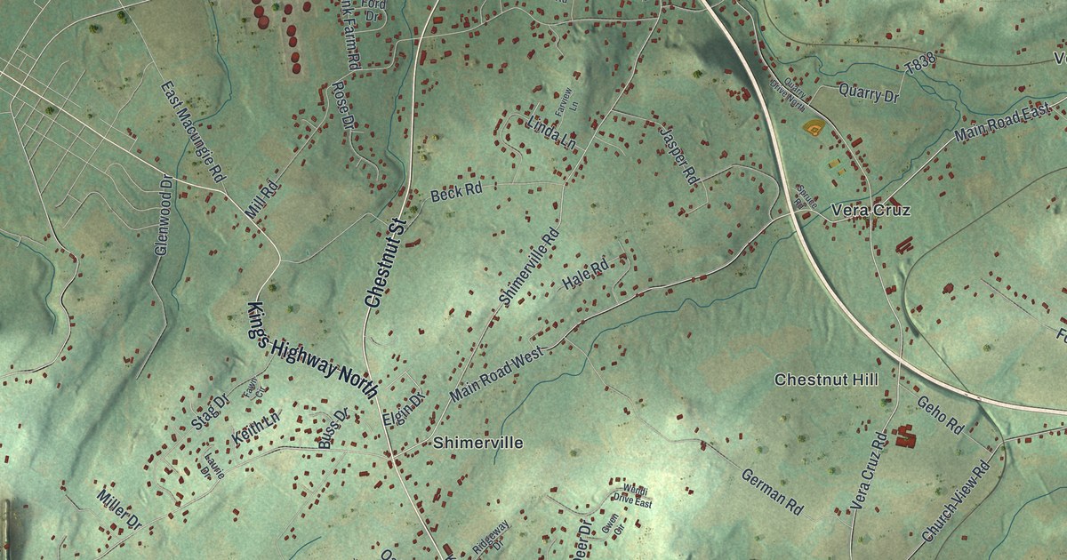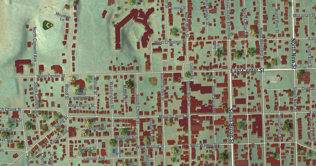
If you grew up in Nazareth, or your family still lives near Center Square, this map was made for you. It's a modern aerial view of Nazareth in Northampton County, Pennsylvania, built from modern data and finished with a vintage feel. It shows more than 3,000 red buildings on the town's grid, with South Broad Street and East Center Street at its heart. Nazareth Boro Park and Greenwood Cemetery sit near the top. Two wide blue lakes lie near the bottom of the sheet.
The Martin guitar shop on West North Street
On this map you'll find South Broad Street, East Center Street, West Center Street, Center Square, North Main Street, West North Street, North New Street, Easton Road, Bath Pike, Nazareth Boro Park, Whitfield Park, Greenwood Cemetery, Holy Family Cemetery, and more. Each red shape is a building, so zoom in on the preview and look for yours.
Nazareth's best-known story is about guitars. Christian Frederick Martin was born in Germany. He started C.F. Martin & Co. in New York City in 1833. In 1838 he moved the firm to this area. Then in 1859 he built a small shop here. It grew many times over and was long the company's factory. A state historical marker stands at 10 West North Street. It says Martin's ideas, like the x-braced flat-top guitar and the Dreadnought guitar, shaped the whole industry. It also calls the company one of the world's oldest makers of musical instruments. The old factory is on the National Register, too. Look for it on the map where West North Street meets North Main Street.
How the Moravians started Nazareth
The town itself began with a church group. The state marker says Moravian settlers came here in 1740 from a failing colony in Georgia. From 1745 to 1765, Bishop August B. Spangenberg led a plan for shared living called the "Great Economy." It was set up to support missionaries to the Indians. The Whitefield House goes back to those early years. It was begun in 1740 for the preacher George Whitefield, as a school for Black children. The Moravians finished it in 1743. In 1744 it became a church home for 32 newly married German couples. It still stands on East Center Street and is on the National Register. You'll also see the name on North Whitfield Street, South Whitfield Street and Whitfield Park.
Nazareth from Nazareth Boro Park to Easton Road

Created by KNOWOL in 2026, this print shows Nazareth from above in soft greens, with red buildings, pale gray streets and two blue lakes. The title panel reads "Aerial View of Nazareth, Pennsylvania" with the coordinates 40°44' North 75°19' West.
It suits a living room, a den or a music room. It's a good gift for someone who grew up near Nazareth Boro Park, or who moved away and misses Center Square. Open the preview and find your street. See sizes and frames for the Nazareth map.