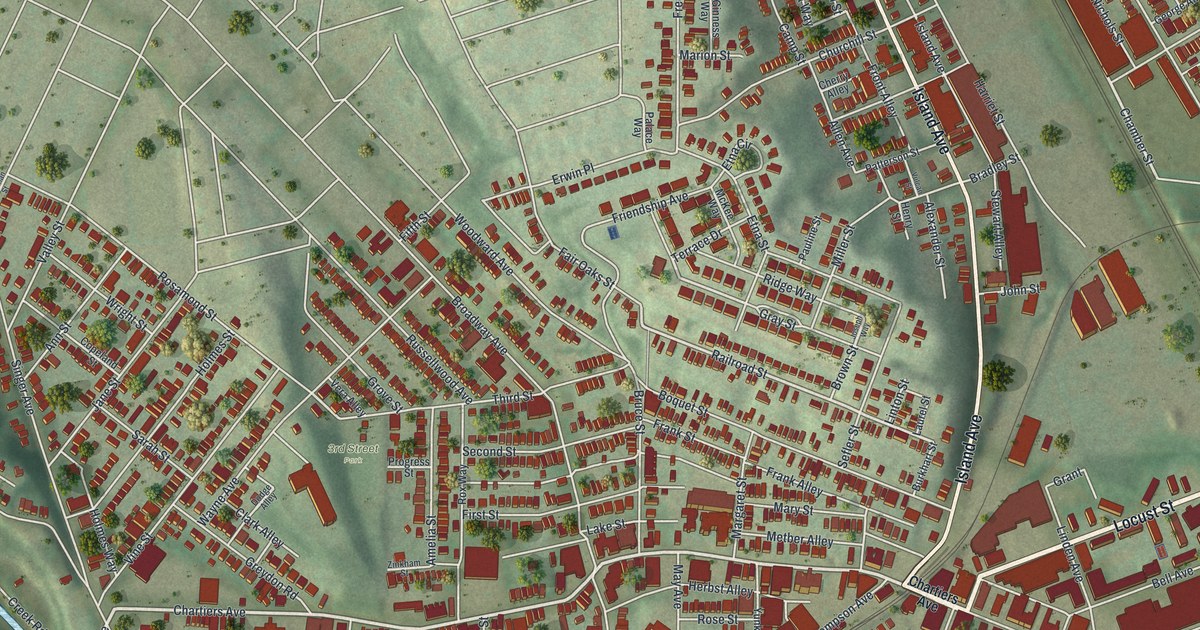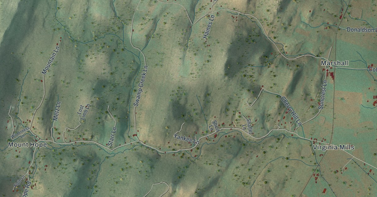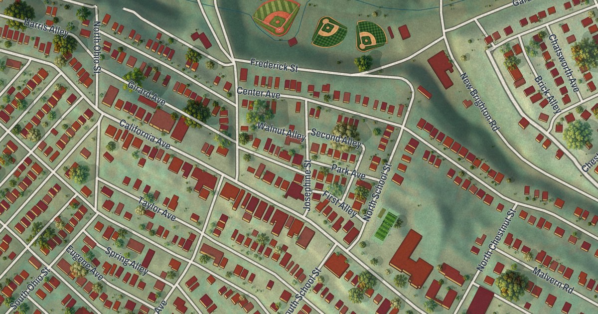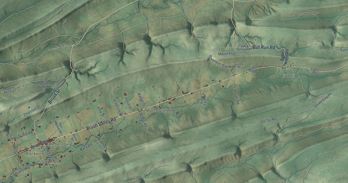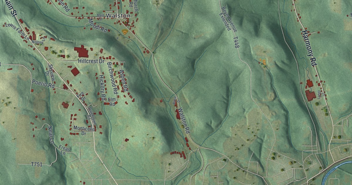
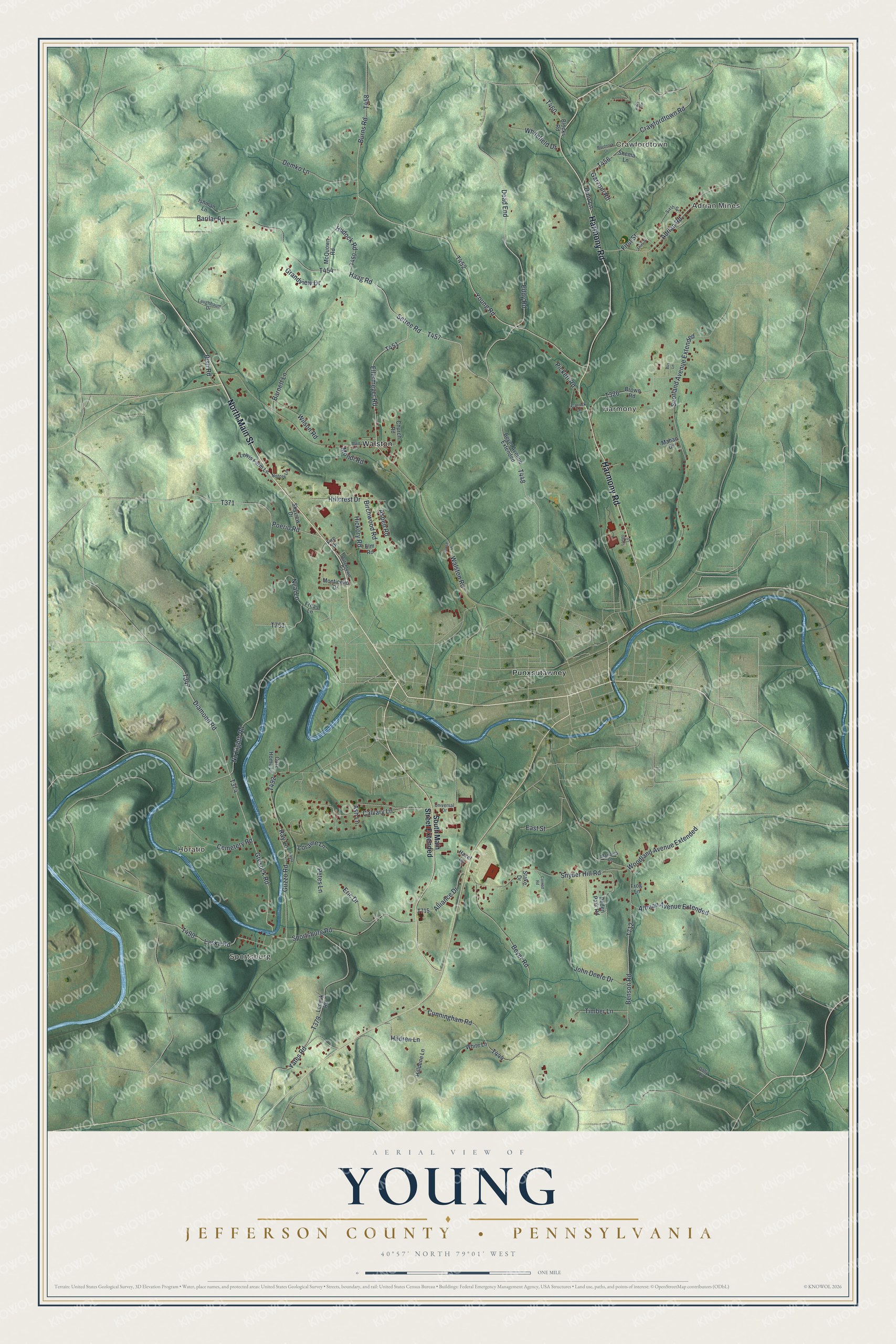
This beautifully detailed map of Young, Jefferson County, Pennsylvania was created in 2026 using aerial imagery combined with modern topographical, census, street and landmark data. It's a modern aerial view of Young, Jefferson County in Jefferson County, Pennsylvania, that combines modern data with a vintage aesthetic. The roads feature printed names, and if you look closely you can find your exact house accurately shown in its correct location.
Explore an aerial view of Young, Jefferson County, Pennsylvania
On this map you'll find Adrian Mines, Crawfordtown, Harmony, Sportsburg, Horatio, Punxsutawney, Walston, North Main Street, Harmony Road, Young Road, T452, Setree Road, and more. Each red shape is a building, so zoom in on the preview and look for yours.
Young, Jefferson County has a story worth telling. The Internet Archive puts it this way: "Since the opening of the coal mines in Young township in 1883 by the Rochester and Pittsburgh Coal & Iron Company, two new towns have sprung up, as if by magic, in that township. Wallston, which is situated on the Buffalo, Rochester and Pittsburgh Railroad, about two miles east of Punxsutawney, was begun when the mines were first opened."
Young, Jefferson County is a place in Jefferson County. The Census Bureau counted 1,711 people here in 2020.
Take a closer look at the Young, Jefferson County map
Names on this map
These names are printed on this map.
Places: Adrian Mines, Crawfordtown, Harmony, Sportsburg, Horatio, Punxsutawney and Walston.
Streets and roads: North Main Street, Harmony Road, Young Road, Setree Road, Eddy Road, Ellermeyer Road, Haag Road, Poerio Road, Diamond Road, Gresock Road, Crawfordtown Road, Scotland Avenue Extended.
More street names, A to Z
Adrian Road, Alliance Drive, Altman Avenue Extended, Ash Lane, Aspen Road, Barilar Road, Barnett Lane, Benson Road, Beyer Avenue Extended, Beyer Road, Birchwood Road, Bish Road, Blocks Road, Blose Drive, Brown Road, Brudnock Drive, Burns Road, Bus Lane, Calvary Lane, Care Home Lane, Carrick Lane, Cemetery Road, Church Road, Conrad Road, Cunningham Road, Dead End, Demko Lane, Dino Lane, Dolly Lane, Dutchtown Road, East Street, Elm Road, Eric Drive, Fire Drive, First Street, Freas Lane, Frog Lane, Garzoni Road, Grandview Drive, Guzzo Road, Hazel Lane, Hickory Road, Hildren Lane, Hillcrest Drive, Hilldene Lane, Hudock Road, Ishman Lane, John Deere Drive, Kayla Lane, Laska Road, Laughbaum Drive, Lenyok Road, Lewis Farm Lane, Longo Lane, Loraine Lane, Mahan Drive, Main Street, Manners Lane, McQuown Road, Mondi Road, Monticello Drive, Neal Lane, No Eighth Road, Notory Lane, Peden Park Road, Petes Lane, Pickett Road, Ray Lane, Ruby Drive, Shema Lane, Sixth Street, Skyview Drive, Snyder Hill Road, South Main Street Extended, Sportsburg Road, Stake Drive, Third Street, Timber Lane, Universal Drive, Walston Road, Whitefield Drive, White Lane, Wilson Road, Woodland Avenue Extended, Yates Road.
Created by KNOWOL in 2026. The buildings are small red shapes, the roads carry their printed names, and shaded relief shows the shape of the land. The title panel reads "AERIAL VIEW OF YOUNG JEFFERSON COUNTY • PENNSYLVANIA" with 4, 0, °, 5, 7, ', , N, O, R, T, H, , 7, 9, °, 0, 1, ', , W, E, S, T.
It looks right in a kitchen, an office or a den, and it's a gift for anyone who grew up in Young, Jefferson County or moved away. Open the preview and find your street. See sizes and frames for the Young, Jefferson County map.