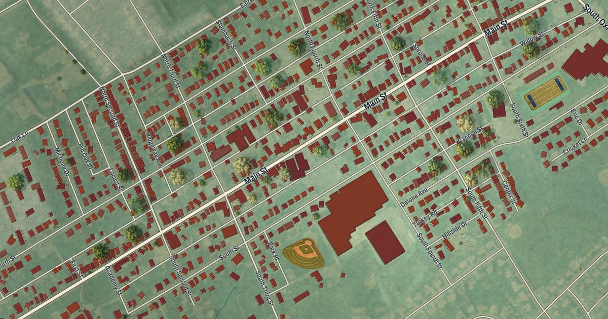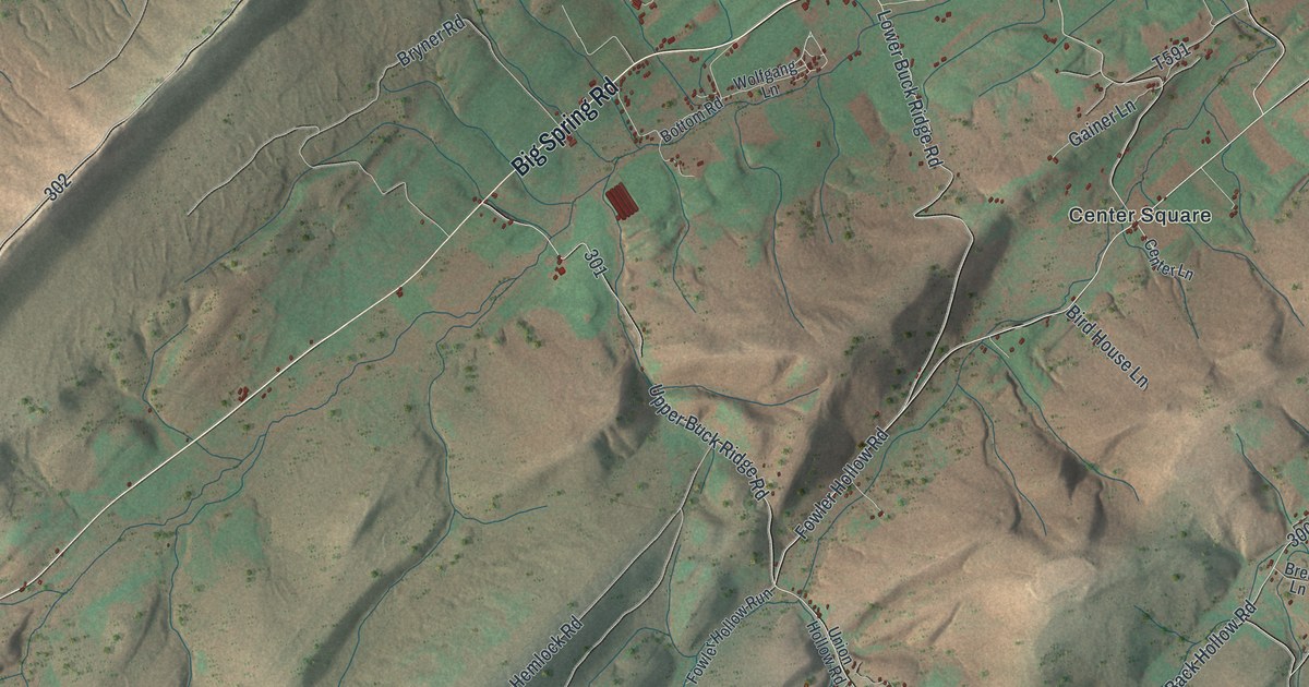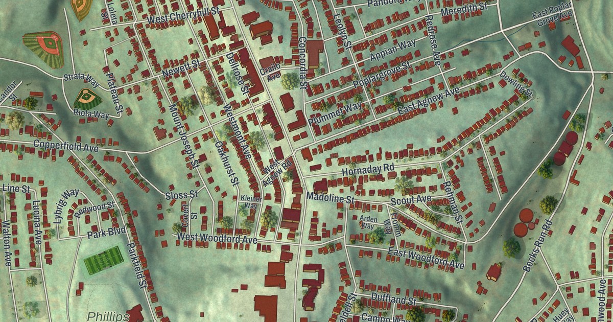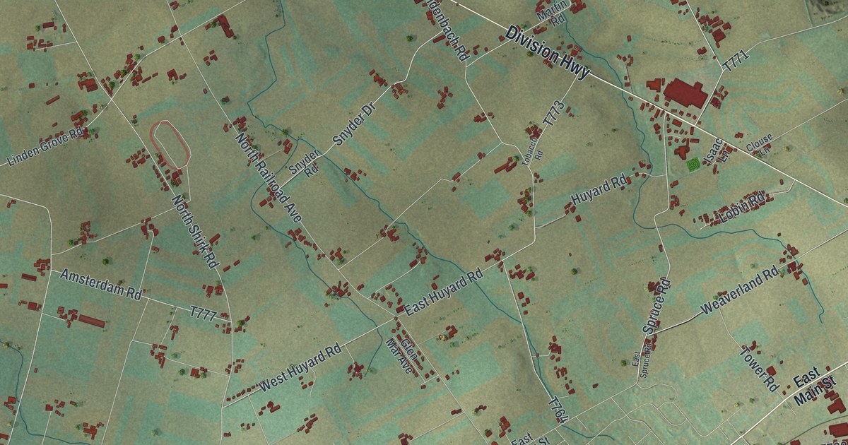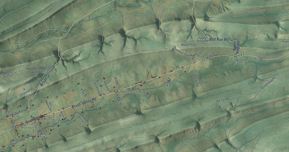
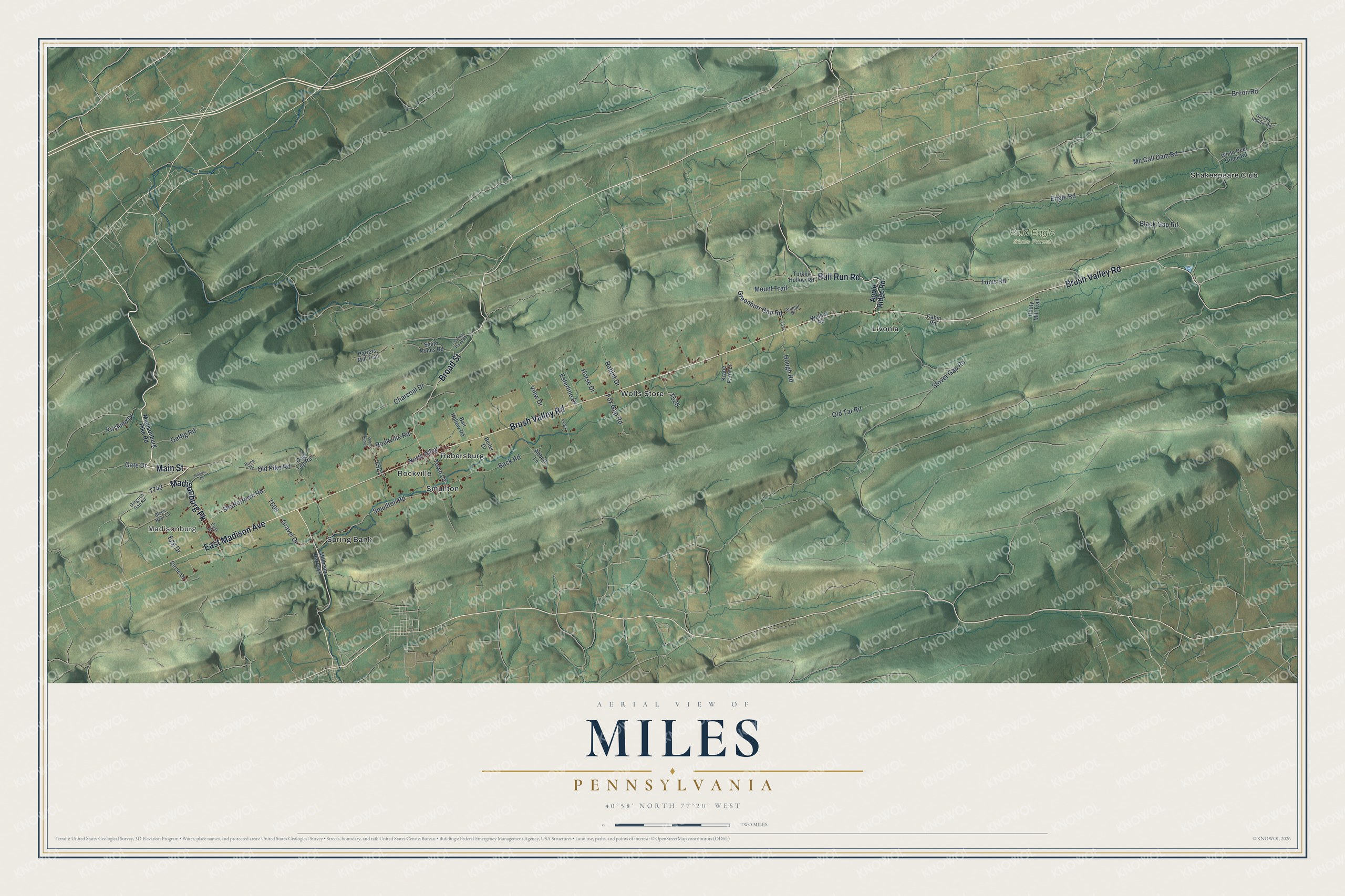
This beautifully detailed map of Miles, Pennsylvania was created in 2026 using aerial imagery combined with modern topographical, census, street and landmark data. It's a modern aerial view of Miles in Centre County, Pennsylvania, that combines modern data with a vintage aesthetic. The roads feature printed names, and if you look closely you can find your exact house accurately shown in its correct location.
Explore an aerial view of Miles, Pennsylvania
On this map you'll find Madisonburg, Bald Eagle State Forest, Livonia, Rebersburg, Rockville, Shakespeare Club, Smullton, Spring Bank, Wolfs Store, Main Street, Madisonburg Pk, Brush Valley Road, and more. Each red shape is a building, so zoom in on the preview and look for yours.
Here is a piece of Miles history, in the words of the record. The Internet Archive puts it this way: "Adam Leufler built Israel Wolf's house, and the stone
liouse on the main road was erected in 1833 by Simon
Pickle; it was the first tavern in Madisonburg."
Miles is a place in Centre County. The Census Bureau counted 1,998 people here in 2020.
Take a closer look at the Miles map
Names on this map
These names are printed on this map.
Places: Madisonburg, Bald Eagle State Forest, Livonia, Rebersburg, Rockville, Shakespeare Club, Smullton, Spring Bank and Wolfs Store.
Streets and roads: Main Street, Madisonburg Pk, Brush Valley Road, Broad Street, Bull Run Road, East Madison Avenue, Smullton Road, Town Lane, Mc Call Dam Road, Back Road, Engle Road, Tunis Road.
More street names, A to Z
3 Corner Piece Road, Abbott Lane, Animal Drive, Apple Ridge Road, Bair Hollow Road, Beiler Drive, Black Bear Lane, Black Gap Road, Breon Road, Buck Drive, Cabin Road, Charcoal Drive, Circle Drive, Dog Leg Road, Douty Mill Trail, East Street, Egg Drive, Esterline Drive, Fox Gap Road, Garden Hollow Road, Gate Drive, Gettig Road, Gingrich Gap Road, Gravel Drive, Greenburr Gap Road, Harters Mill Trail, Hollow Drive, Horse Drive, Hough Road, Krape Farm Lane, Krislund Drive, Madisonburg Pike Road, Millheim Narrows, Mount Trail, North Alley, Old Pike Road, Old Tar Road, Rabbit Drive, Rebel Run Lane, Rockville Road, Shaffertown Road, Smith Ponds Road, Stover Gap Road, Turkey Hollow Road, View Drive, Walnut Road, White Deer Creek Road.
Created by KNOWOL in 2026. The buildings are small red shapes, the roads carry their printed names, and shaded relief shows the shape of the land. The title panel reads "AERIAL VIEW OF MILES PENNSYLVANIA" with 4, 0, °, 5, 8, ', , N, O, R, T, H, , 7, 7, °, 2, 0, ', , W, E, S, T.
It suits a den, a classroom or a front hall, and it makes a gift for anyone with Miles roots. Open the preview and find the block you know. See sizes and frames for the Miles map.