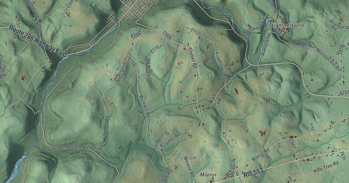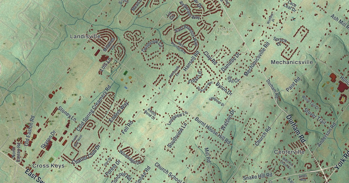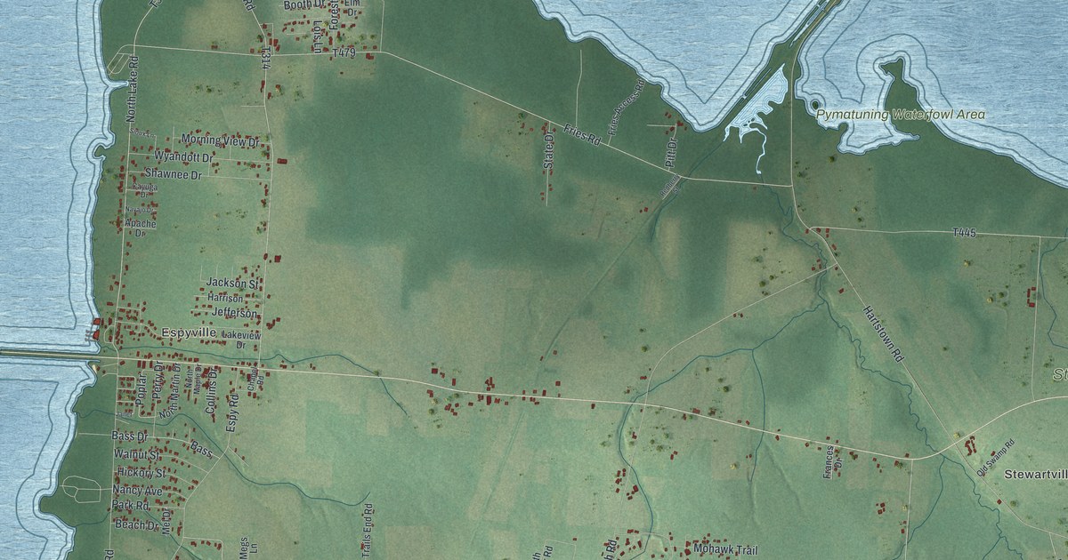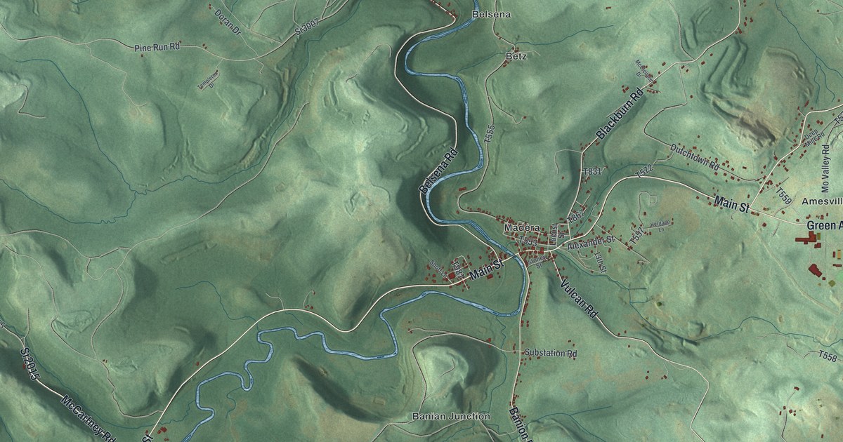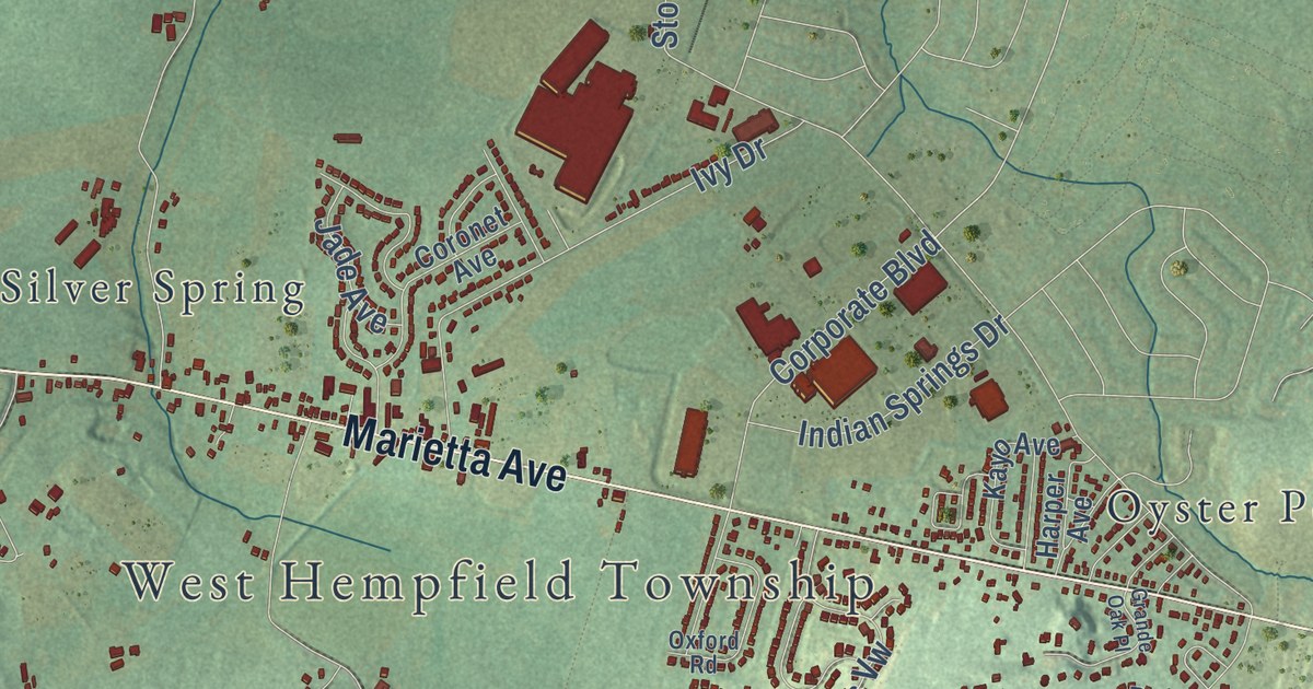
This beautifully detailed map of West Hempfield, Pennsylvania was created in 2026 using aerial imagery combined with modern topographical, census, street and landmark data. It’s a one-of-a-kind view of West Hempfield that combines accurate data with a vintage aesthetic. The map shows every building in its true location, many of the roads carry their names, and the shaded topographic relief shows the shape of the land.
Explore an aerial view of West Hempfield, Pennsylvania
On the map you’ll find Chestnut Hill, Cordelia, Farmdale, Hempfield, Ironville, Kinderhook, Klinesville, Oyster Point, and Silver Spring, along with Columbia Avenue, Marietta Avenue, and more. If you look closely you can even find your house accurately drawn in its correct location. Zoom in on the preview to look for yours.
Did you know this piece of West Hempfield, Pennsylvania history?
From the 1883 History of Lancaster County, Pennsylvania: "The Rough-and-Ready Furnace was located at Shawanese Run, two miles and a half northeast from Columbia borough, in West Hempfield township. It was built in 1848 by Cross & Waddell."
Take a closer look at the West Hempfield map
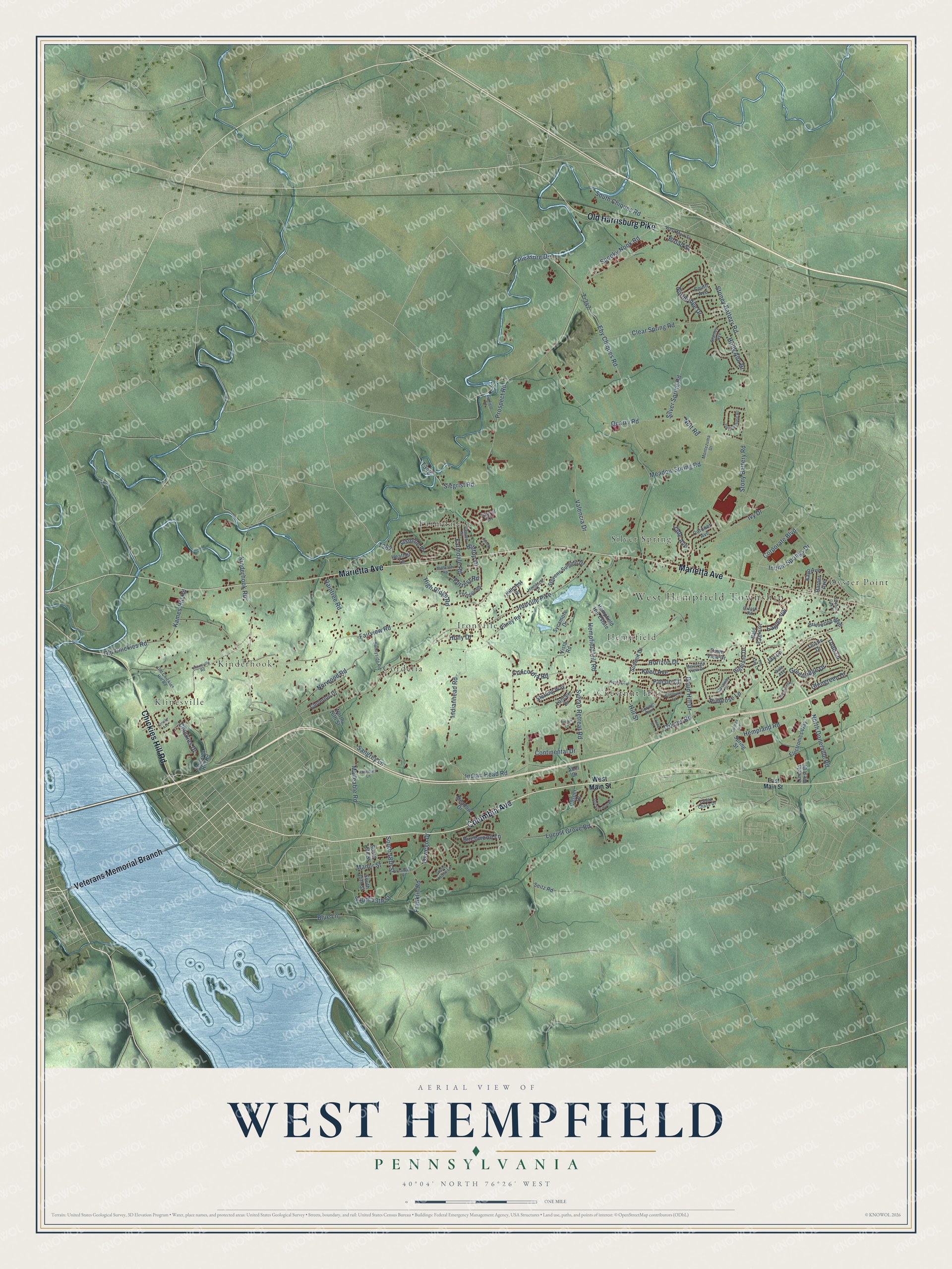
Street and place names on the West Hempfield, Pennsylvania map
These names are printed on the map of West Hempfield, Pennsylvania.
Places: West Hempfield Township, Klinesville, Ironville, Hempfield, Oyster Point, Cordelia, Farmdale, Kinderhook, Chestnut Hill and Silver Spring.
Streets and roads: Columbia Avenue, Veterans Memorial Branch, Chickies Hill Road, Marietta Avenue, Old Harrisburg Pike, South 18th Street, Oswego Drive, Corporate Boulevard, Prospect Road, Stony Battery Road, Fairview Road, Ironville Pike.
More street names, A to Z
Abel Drive, Archer Lane, Arlene Drive, Bald Eagle Court, Birchwood Lane, Blue Lane, Briarwood Boulevard, Broad Street, Caraway Drive, Casper Drive, Cedar Chase Drive, Center Street, Chickies Drive, Clear Spring Road, Cloverton Drive, College Avenue, Concordia Road, Continental Drive, Coronet Avenue, Dale Avenue, Dawn View Drive, Druid Hill Drive, Eagles Vw, East Main Street, Eby Chiques Road, Electronics Way, Falcon Court, Farmdale Road, Ferndale Road, Forrest Road, Franklin Road, Franklin Street, Garfield Road, Glengreen Drive, Grande Oak Place, Greenridge, Greenridge Drive, Harper Avenue, Heather Lane, Hemlock Drive, Hempfield Hill Estate, Hempfield Hill Road, Hempland Road, Highland Drive, High Ridge Road, Hillcrest Drive, Hill Street, Hilltop Drive, Holly Ann Drive, Holly Drive, Horizon Drive, Indian Head Road, Indianhead Road, Indian Springs Drive, Ivy Drive, Jade Avenue, Jasmine Place, Jay Lane, Kames Hill Road, Kayo Avenue, Keen Avenue, Kennel Avenue, Kinderhook Road, Klinesville Road, Lancer Drive, Laurel Lane, Lincoln West Drive, Locust Grove Road, Malleable Road, Manor Street, Meadow Drive, Meadow Spring Road, Millbrook Road, Montezuma Drive, Mountain View Drive, Nolt Road, North 16th Street, North Donerville Road, Northridge Drive, Norwood Road, Old Chickies Hill Road, Old Chickies Road, Oriole Avenue, Orkney Road, Oxford Road, Penny Lane, Pin Oak Lane, Pitney Road, Pleasure Drive, Primrose Lane, Quarry Road, Raintree Road, Rosemary Lane, Sangrey Lane, Seitz Road, Siegrist Road, Silver Spring Road, South 13th Street, South 15th Street, South 16th Street, South Avenue, South Chiques Road, Spooky Nook Road, Spring Run, Spring Street, Stanley Avenue, Steeplechase Road, Sterling Way, Stevens Summit Drive, Stone House Lane, Stoney Battery Road, Strickler Run Road, Summit Drive, Sunnyside Road, Sycamore Drive, Sylvan Retreat Road, T-347, Thistle Drive, Todd Lane, Valencia Drive, Vista Road, West Main Street, Wildflower Lane.
See the West Hempfield, Pennsylvania map on a wall
The West Hempfield map as an 18 x 24 inch print in a black frame.

This beautifully detailed map of West Hempfield makes an attractive addition to your office, library, or den, and it can even be used to teach children the geography and history of the area. It also makes a great gift for someone who left West Hempfield and still calls it home. When you’re done exploring, click here to get your copy of the West Hempfield map.