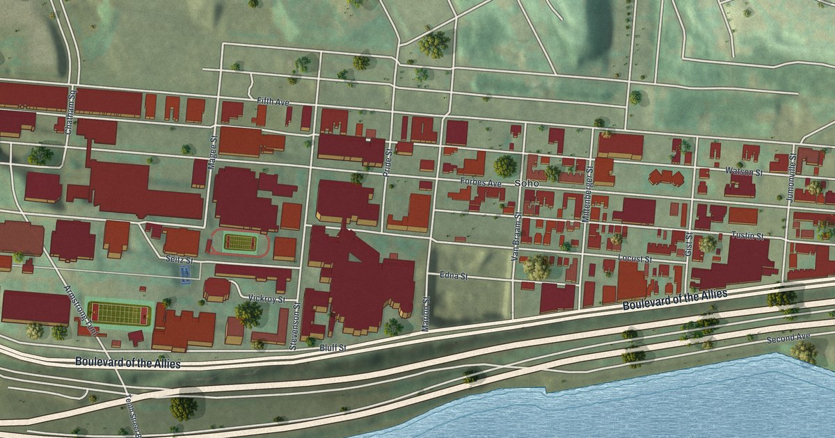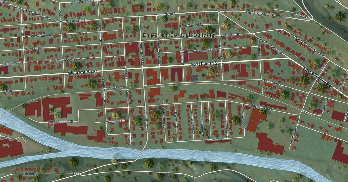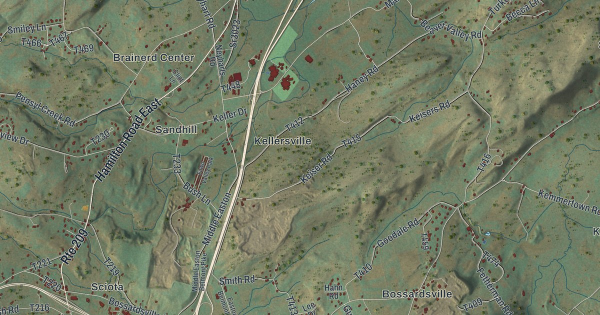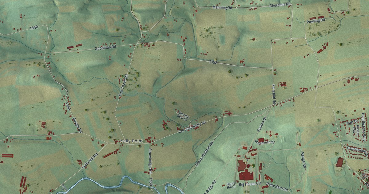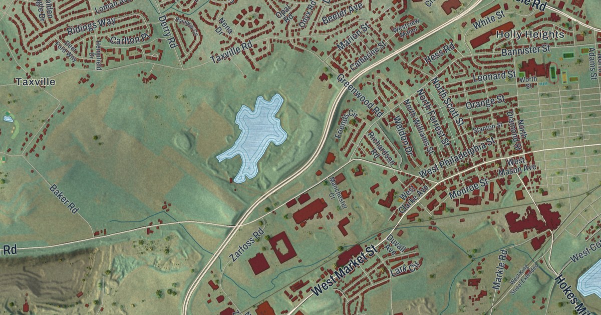
If you grew up off Carlisle Road or spent a day at the fair on West Market Street, this map is for you. It's a modern aerial view of West Manchester Township in York County, Pennsylvania, built from modern data and given a vintage look. Neighborhoods from Shiloh down to Bair fill the sheet. Indian Rock Dam and Reservoir spreads across the bottom in pale blue, with green hills all around it.
West Market Street, Shiloh and Indian Rock Dam
On this map you'll find West Market Street, Carlisle Road, Lincoln Highway, Hanover Road, East Berlin Road, Trinity Road, Church Road, Indian Rock Dam and Reservoir, Shiloh, Taxville, Botts, Graybill, Holly Heights, Poplars, and more. Each red shape is a building, so zoom in on the preview and look for yours.
The York Inter-State Fair on West Market Street
West Manchester is home to the York Inter-State Fair. A state historical marker on West Market Street calls the York Inter-State Fair America's oldest agricultural fair. It traces its start to a charter from the Penns in 1765. The fair stopped after 1815. Then the York County Agricultural Society brought it back in 1853. It's been held every year since. The fair has used its present grounds since 1888. West Market Street is printed on the map.
How West Manchester looked in 1886
West Manchester was split off from Manchester Township in 1799. Back then, the old township was fifteen miles long. The 1886 History of York County describes the new township as rich farm land on the limestone belt that crosses the county. Nearly every acre was farmed. Big bank barns and brick houses stood close together. In May and June, the writer called it "one continuous garden of beauty and plenty." Most early settlers were German Lutherans, Reformed, German Baptists and Mennonites. Trains on the Hanover & York Railroad did a good business at Graybill's Station. Today the name Graybill sits on the map near Trinity Road.
A map of West Manchester and Indian Rock Dam
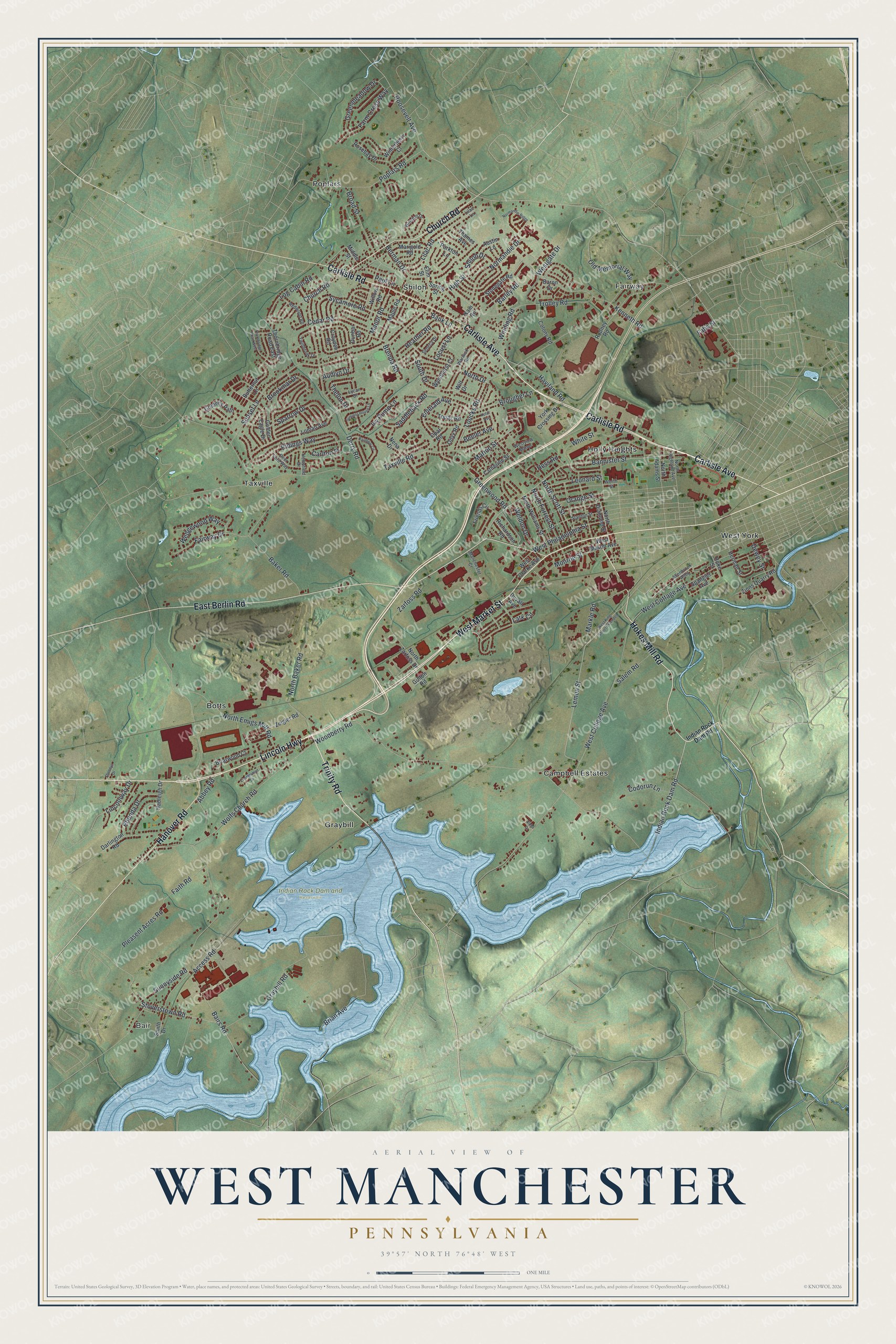
Created by KNOWOL in 2026, this print shows West Manchester from above in soft greens, with buildings in deep red and water in pale blue. Terrain and water come from USGS, and streets from the Census Bureau. The title panel reads "Aerial View of West Manchester, Pennsylvania" with 39°57' North 76°48' West beneath it.
It fits a living room, a home office or the hallway by the front door. It's a good gift for a family that lives near Indian Rock Dam, or for someone who moved away and still misses the York Fair. Open the preview and find your street. See sizes and frames for the West Manchester map.