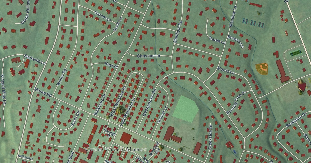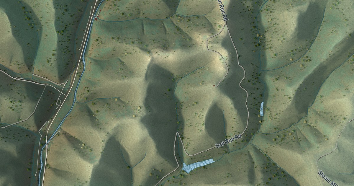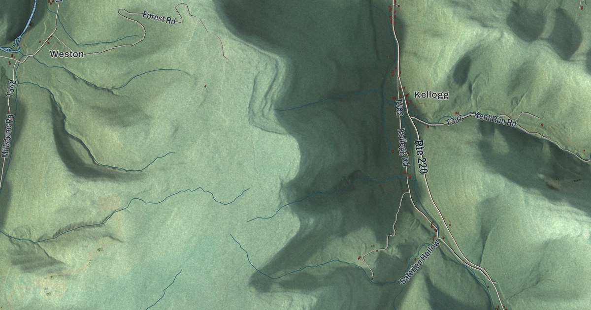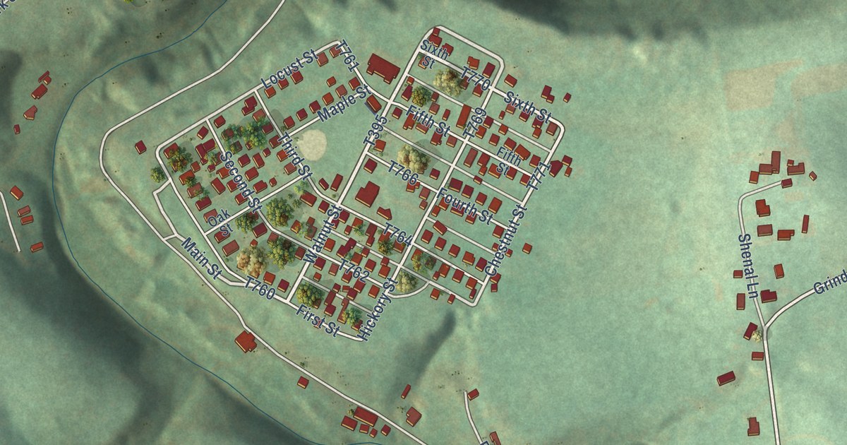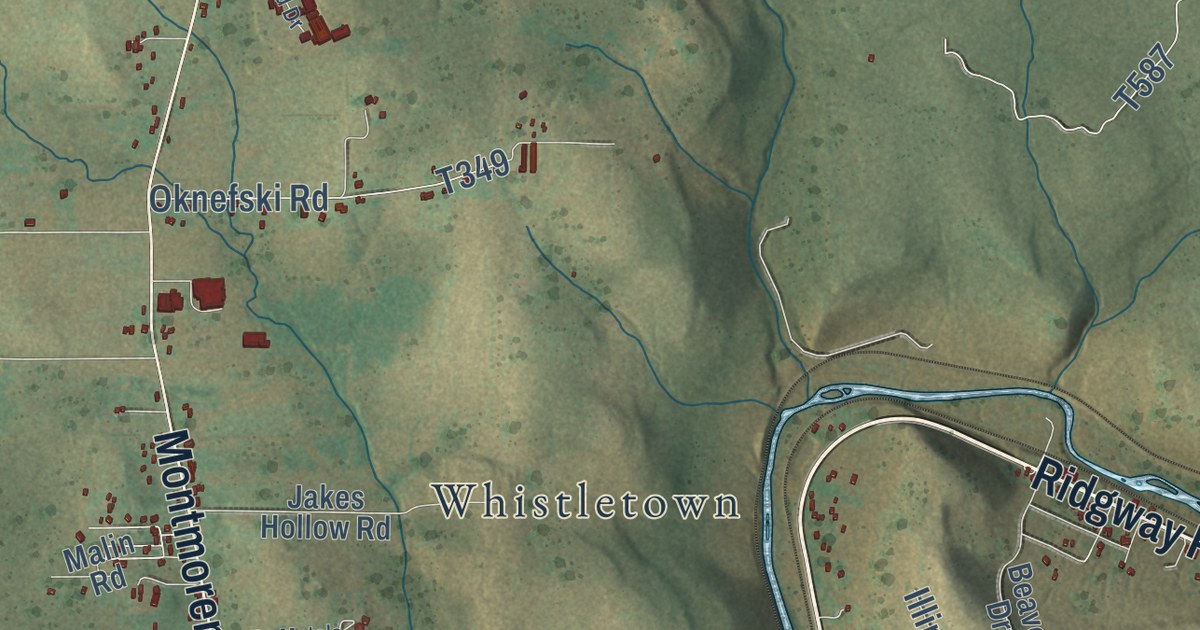
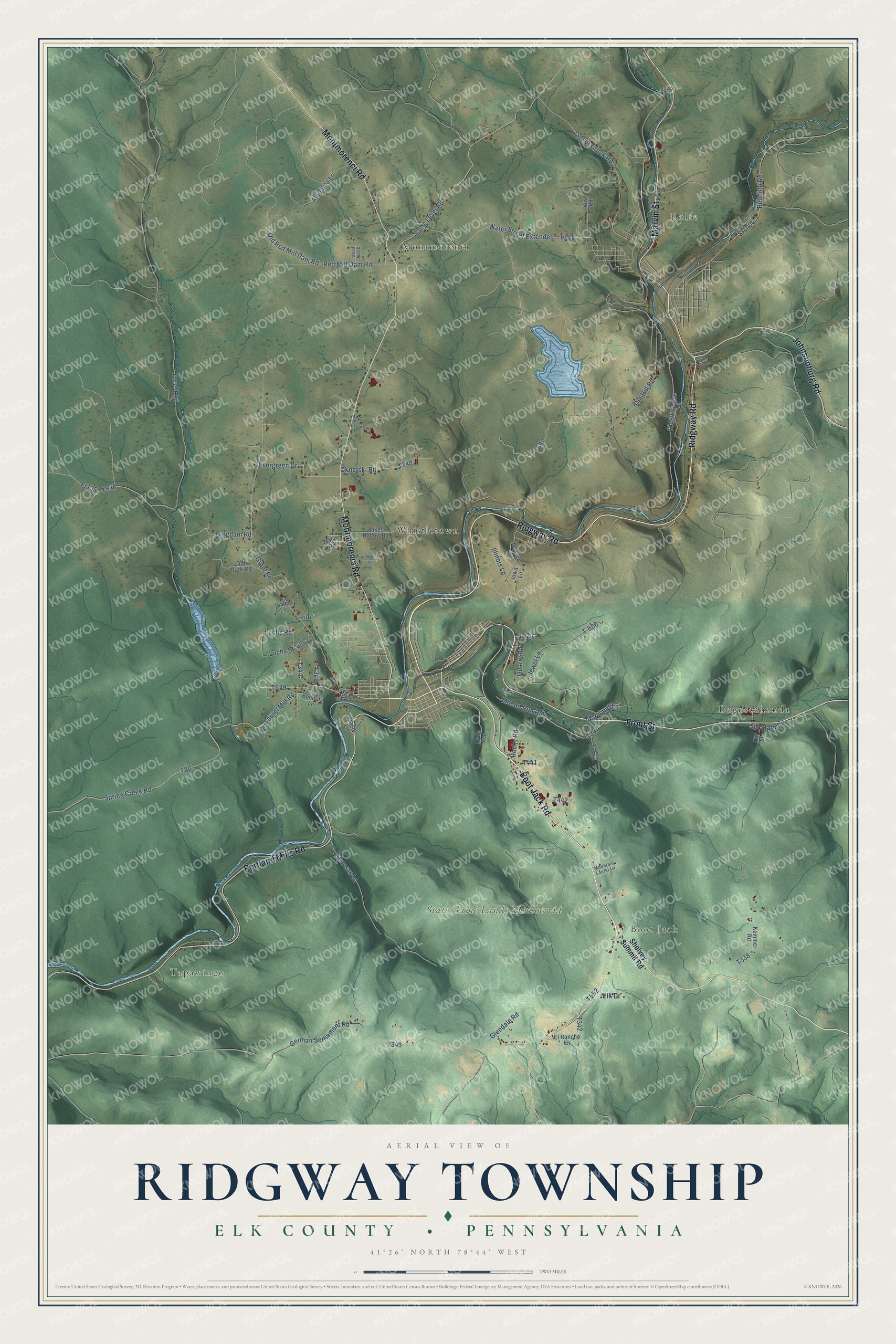
This beautifully detailed map of Ridgway Township, Pennsylvania was created in 2026 using aerial imagery combined with modern topographical, census, street and landmark data. It’s a one-of-a-kind view of Ridgway Township that combines accurate data with a vintage aesthetic. The map shows every building in its true location, many of the roads carry their names, and the shaded topographic relief shows the shape of the land.
Explore an aerial view of Ridgway Township, Pennsylvania
On the map you’ll find Tapawingo, Boot Jack, Rolfe, State Game Lands Number 44, Daguscahonda, Montmorenci, and Whistletown, along with Boot Jack Road, Ridgway Road, Front Street, Johnsonburg Road, Montmorenci Road, and more. If you look closely you can even find your house accurately drawn in its correct location. Zoom in on the preview to look for yours.
Did you know this piece of Ridgway Township, Pennsylvania history?
From Pennsylvania Place Names: "In 1833 his agents laid out on his land, in what is now Ridgway Township, a town which they called Ridgway in his honor."
Take a closer look at the Ridgway Township map
Street and place names on the Ridgway Township, Pennsylvania map
These names are printed on the map of Ridgway Township, Pennsylvania.
Places: Tapawingo, Boot Jack, Rolfe, State Game Lands Number 44, Whistletown, Montmorenci and Daguscahonda.
Streets and roads: Boot Jack Road, Ridgway Road, Front Street, Johnsonburg Road, Portland Mills Road, Montmorenci Road, Marvin Street, Laurel Mill Road, Old State Road, Water Street Extended, Forest Road, Grant Road.
More street names, A to Z
Alabama Lane, Arkansas Lane, Beaver Drive, Bendigo Road, Bingham Road, Bonifels Lane, Dill Hill Road, Elk Drive, El Rancho Lane, Evergreen Drive, Fr135, German Settlement Road, Glendale Road, Grand Slam Road, Hardwood Drive, Hill Street, Hyde Avenue, Idaho Lane, Illinois Lane, Iowa Lane, Jakes Hollow Road, Jewel Lane, Kaelber Camp Road, Kemmer Road, Long Level Road, Luchs Road, Luchs Street, Lynn Skip Lane, Maine Lane, Malin Road, Maryland Lane, Mohan Run Road, Mountain Laurel Lane, Oknefski Road, Old Bark Road, Old Red Mill Dam Road, Prdr, Quarry Road, Rc Metals Road, Red Fox Lane, Red Mill Dam Road, Ridgway Avenue, Rocky Road, Shelvey Summit Road, Silver Creek Road, Spring Creek Road, Sr1004, T-626, Vfw Road, West Main Street, Wood Duck Drive.
See the Ridgway Township, Pennsylvania map on a wall
The Ridgway Township, Elk County map as an 18 x 24 inch print in a black frame.

This beautifully detailed map of Ridgway, Elk County makes an attractive addition to your office, library, or den, and it can even be used to teach children the geography and history of the area. It also makes a great gift for anyone who grew up in Ridgway Township or moved away. When you’re done exploring, click here to get your copy of the Ridgway, Elk County map.