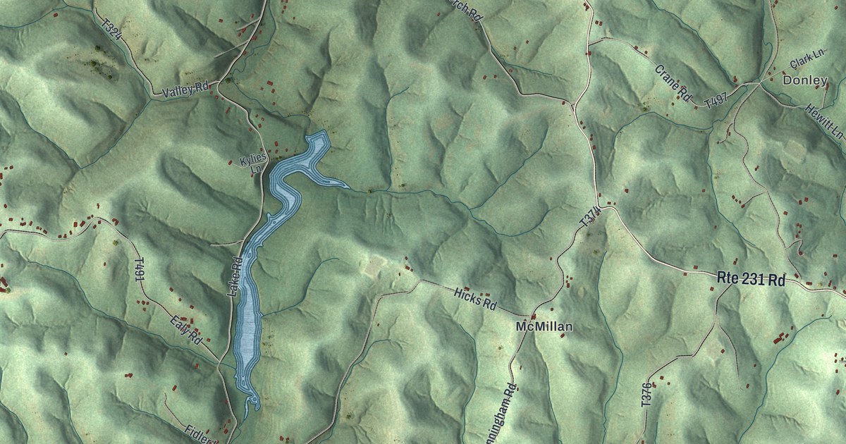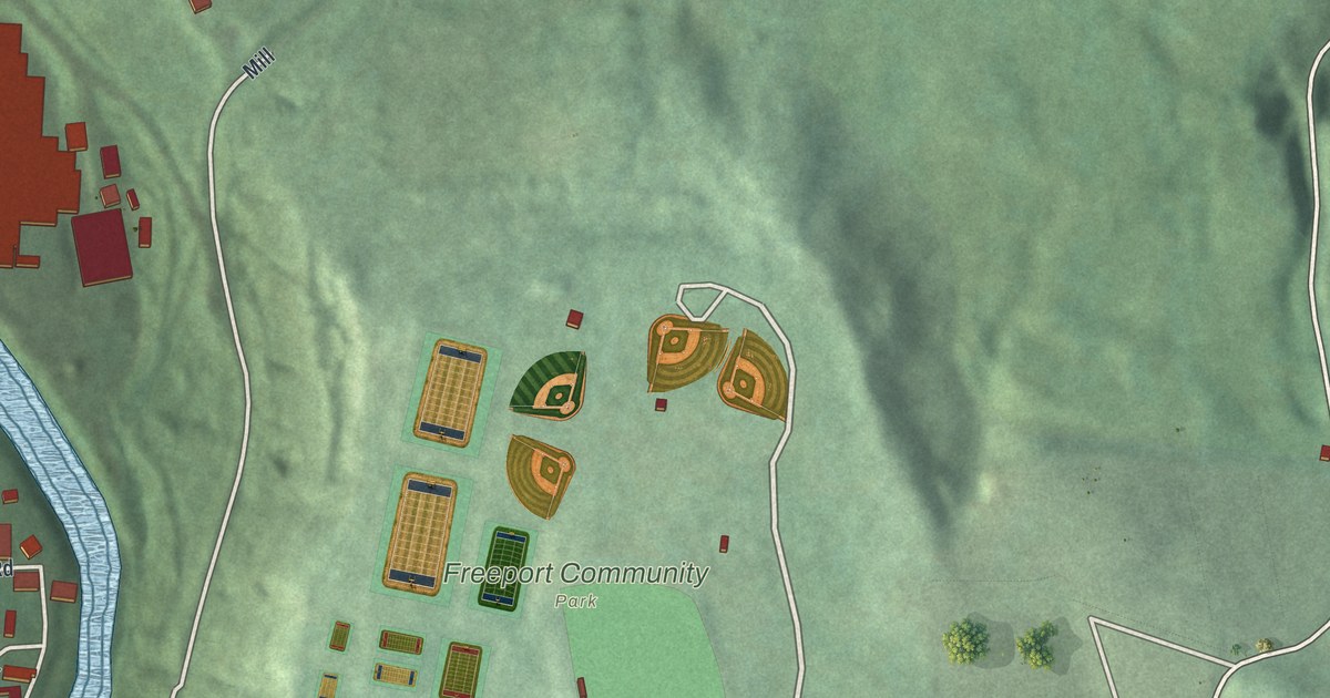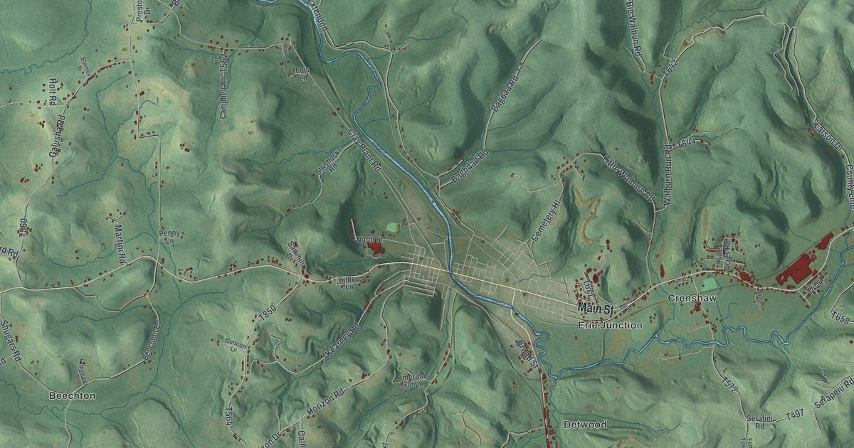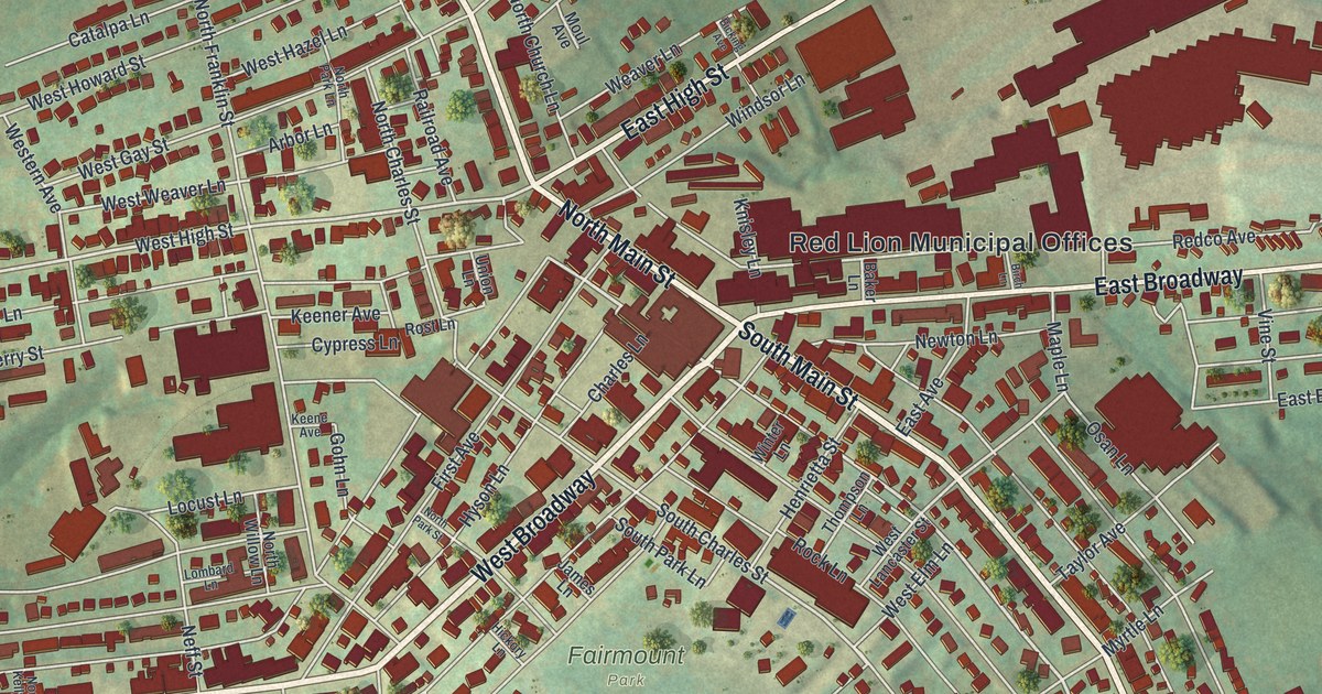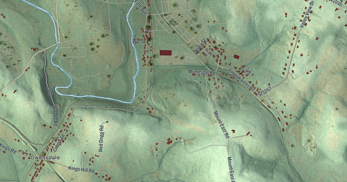
If you grew up in Upper Tyrone, look for your family's road among these hills. This modern aerial view of Upper Tyrone in Fayette County, Pennsylvania pairs modern data with a vintage feel. Green slopes, blue water, and small red buildings fill the print. Names like Owensdale and Kingview help you find familiar ground.
Broad Ford and Upper Tyrone's Creeks
On this map you'll find Scottdale-Dawson Road, Memorial Boulevard, Kingview Road, Broadford Road, Dry Hill Road, Pigeon Hill Road, Owensdale, Kingview, Broad Ford, Dry Hill, McClure, Prittstown, and more. Each red shape is a building, so zoom in on the preview and look for yours.
Broad Ford has a place in the township's creek story. The 1882 History of Fayette County describes Broad Ford Run flowing south through Upper Tyrone. It joins the Youghiogheny River at Broad Ford. Find the Broad Ford label near the broad blue river on this print. The shaded hills around it give you a sense of the land the water drains.
Keep Upper Tyrone Close
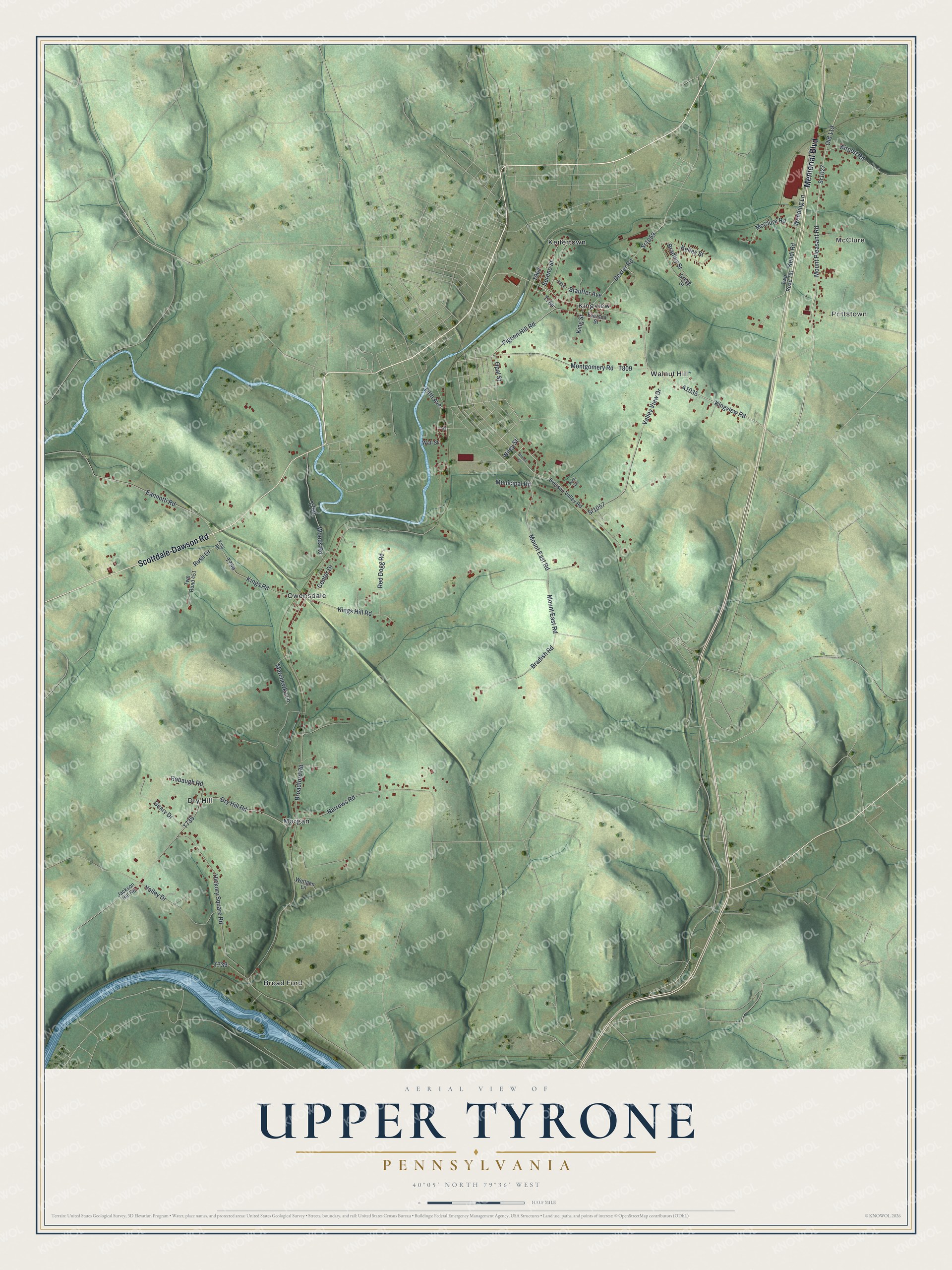
Created by KNOWOL in 2026, this print uses soft green terrain, blue waterways, and red building shapes. A cream border and fine dark lines surround the view. The title panel reads AERIAL VIEW OF, UPPER TYRONE, PENNSYLVANIA, with 40°05' NORTH 79°36' WEST below.
Hang it in a living room, office, or entryway. It's a thoughtful gift for someone with family in Owensdale who wants to keep home close. Open the preview to look for their road and the hills around it. See sizes and frames for the Upper Tyrone map.