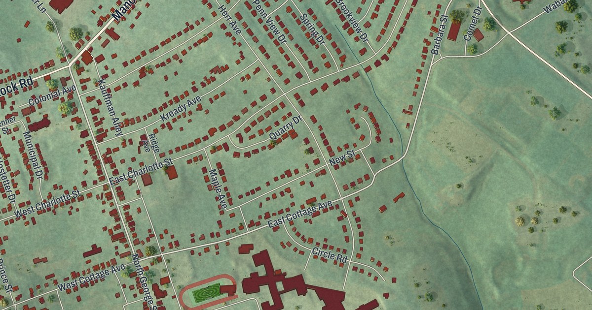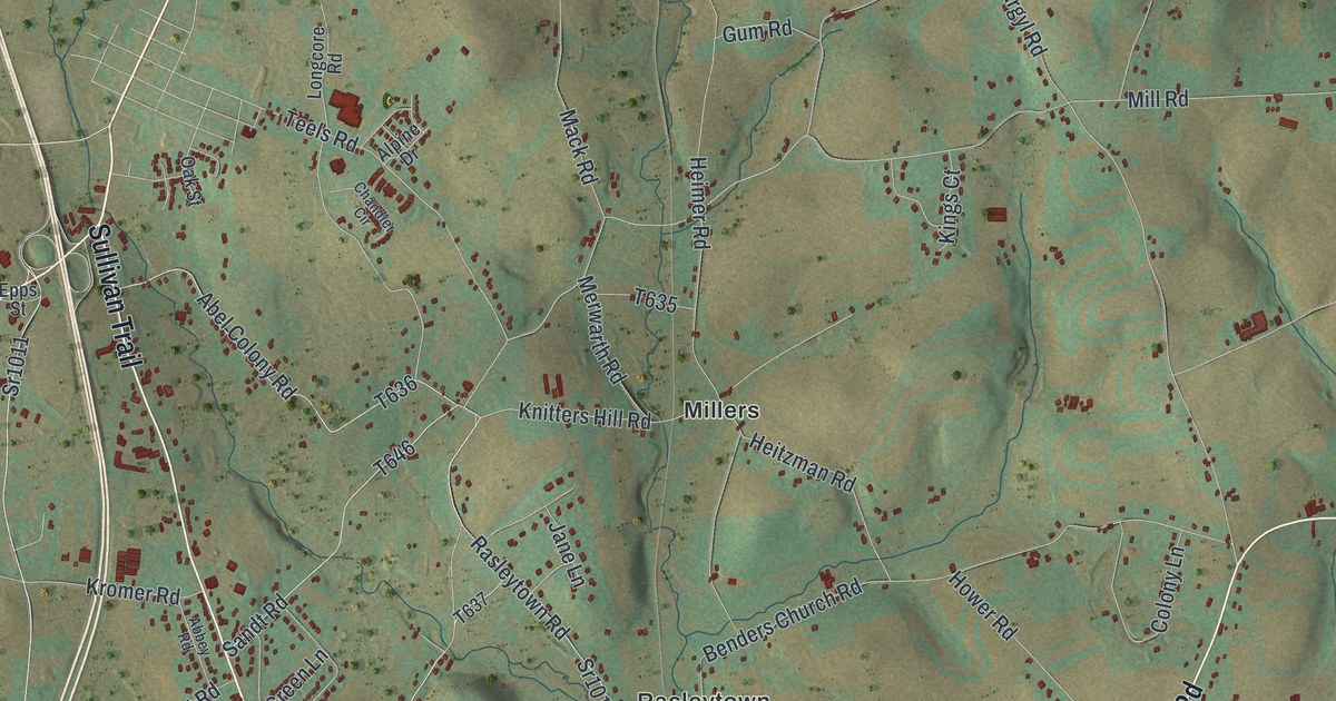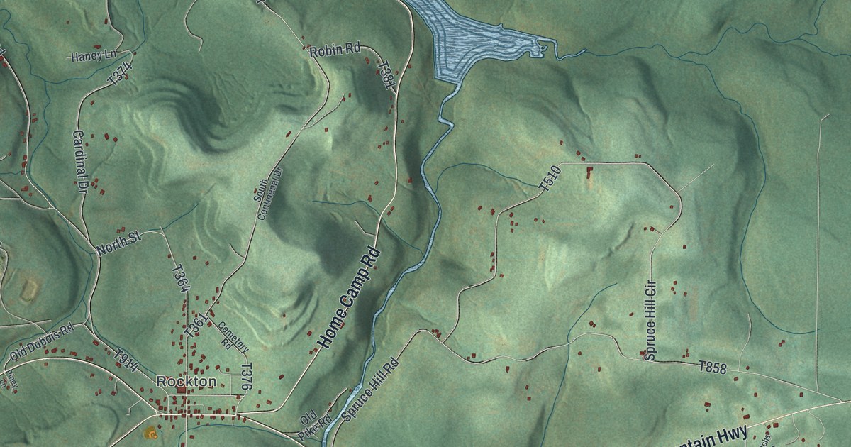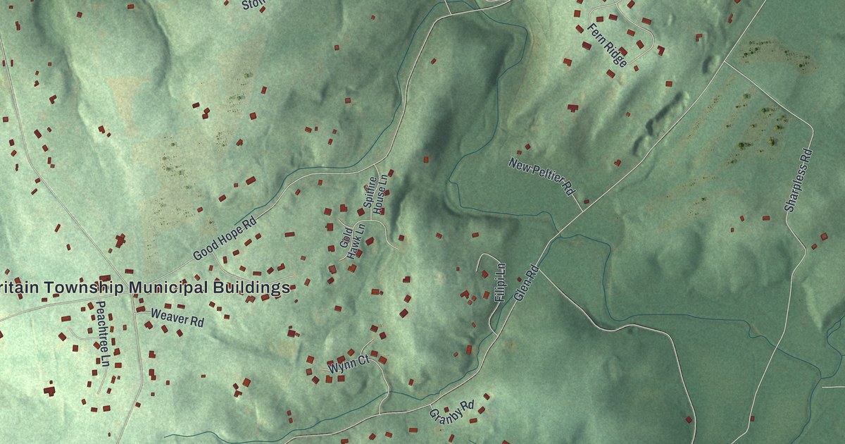
If you grew up near Rose Tree, or your family still lives off Sycamore Mills Road, this map is for you. It's a modern aerial view of Upper Providence Township in Delaware County, Pennsylvania, made from modern data and given a vintage look. A wide blue lake fills the top of the sheet, and a creek winds down the left side past Sycamore Mills. North Providence Road and Baltimore Pike cross the middle, and red homes fill the hills from Blue Hill and Toft Woods down to Moylan.
Streets and places around Rose Tree
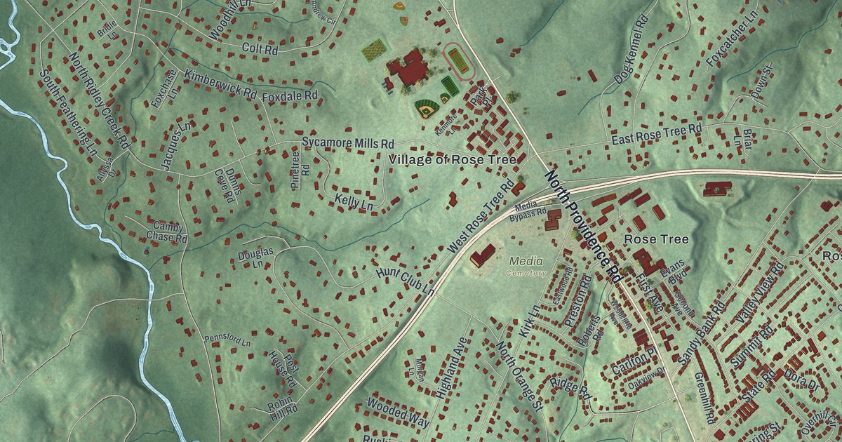
On this map you'll find North Providence Road, Baltimore Pike, Sycamore Mills Road, East Rose Tree Road, Palmers Mill Road, South Orange Street, Ridley Creek Road, Rose Tree, Village of Rose Tree, Martins Park, Media Cemetery, Blue Hill, Bowling Green, Moylan, and more. Each red shape is a building, so zoom in on the preview and look for yours.
Sycamore Mills, Blue Hill and Toft Woods
Sycamore Mills is printed at the top left of the map, with Blue Hill and Toft Woods beside it. Sycamore Mills Road is on the sheet too.
John Worrell's land and the Old Rose Tree Tavern
In 1739 an estate here, resurveyed at 608 and a half acres, was patented to John Worrell, according to the 1884 History of Delaware County. The Old Rose Tree Tavern, near Rose Tree and Providence roads, is on the National Register of Historic Places. Worrell is printed near the top of the map, with Rose Tree and the Village of Rose Tree near North Providence Road.
A map of home, from Blue Hill to Moylan
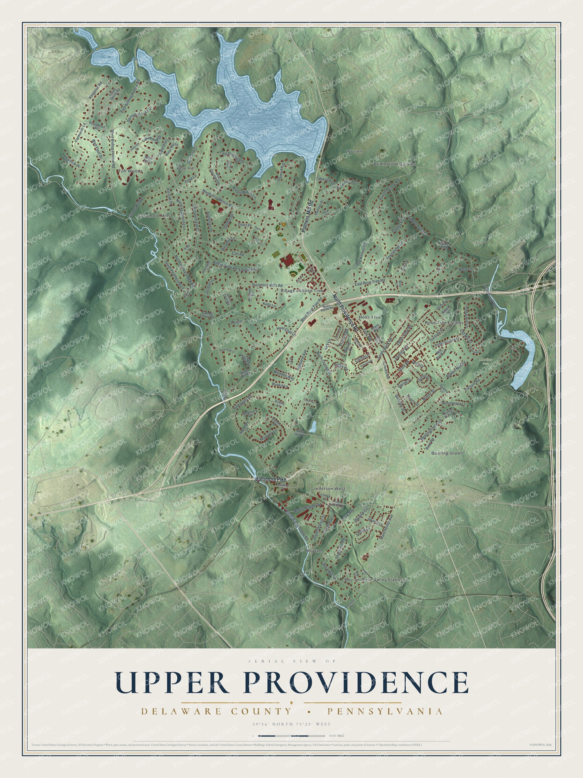
Created by KNOWOL in 2026, this print shows Upper Providence in soft greens with shaded hills, blue water and red buildings. The title panel reads "Aerial View of Upper Providence, Delaware County, Pennsylvania" with the coordinates 39°56' North 75°23' West.
It fits a front hall, a family room or a home office. It's a kind gift for someone who grew up near Rose Tree, or who still thinks of the old mill at Sycamore Mills. Open the preview and find your own street. See sizes and frames for the Upper Providence, Delaware County map.