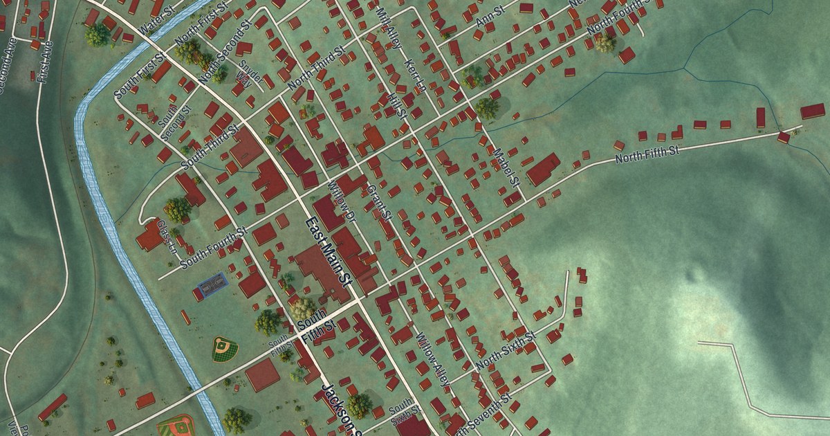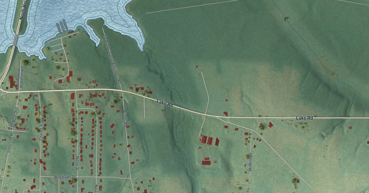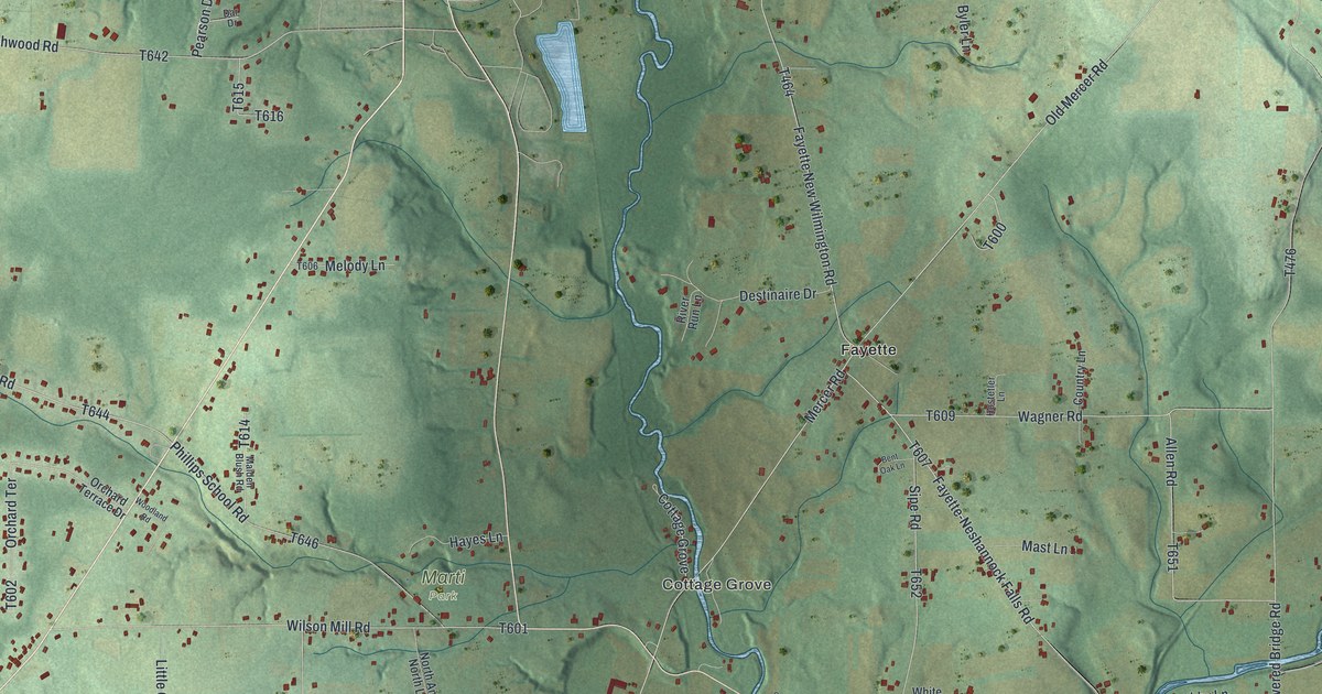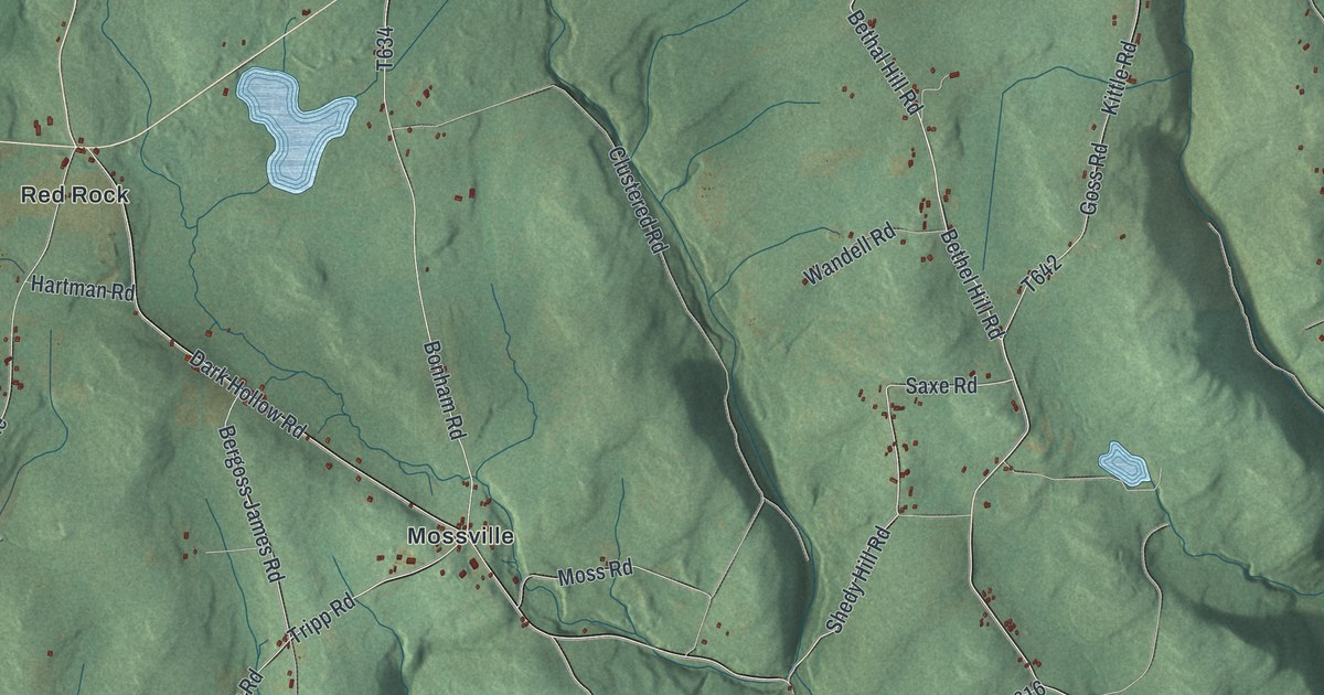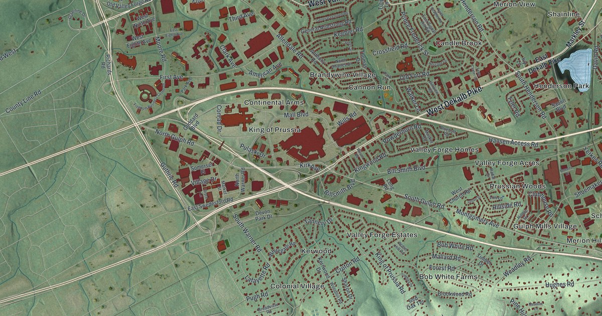
If you grew up in King of Prussia, Gulph Mills or Swedesburg, this map puts your home on the wall. It's a modern aerial view of Upper Merion Township in Montgomery County, Pennsylvania, built from modern data and given a vintage look. A wide blue river curves across the top. Thousands of small red buildings fill the middle, and wooded hills roll along the bottom edge.
Streets and places from King of Prussia to Gulph Mills
On this map you'll find West Dekalb Pike, South Gulph Road, Henderson Road, Valley Forge Road, Mall Boulevard, Bill Smith Boulevard, King of Prussia Road, Swedeland Road, King of Prussia, Gulph Mills, Swedesburg, Heuser, Candle Brook, Valley Forge Homes, and more. Each red shape is a building, so zoom in on the preview and look for yours.
The Gulph Mills camp of December 1777
Before Valley Forge, there was Gulph Mills. A state historical marker on South Gulph Road tells the story. In December 1777, the Continental Army marched here from Whitemarsh. They came by way of Swedes Ford. They camped on the hills near Gulph Mills from December 13 to 19. Then the army moved on to Valley Forge for the winter. On the map, Gulph Mills and Gulph Terrace sit in the lower right, with the green hills close by. Another marker stands on South Henderson Road, at the home of Anna Morris Holstein. She led the effort to save Washington's Headquarters at Valley Forge, which became the first state park.
When Gulph Mills was called Bird-in-Hand
Gulph Mills had a different name first. A marker near South Gulph Road and Upper Gulph Road says the area was called Bird-in-Hand, after the sign of a tavern that stood nearby. A house there, built about 1780, was the old Bird-in-Hand General Store. A building just southwest of the house was a forge. Like the store, it was later made into a home.
A print of Upper Merion from Swedesburg to Gulph Terrace
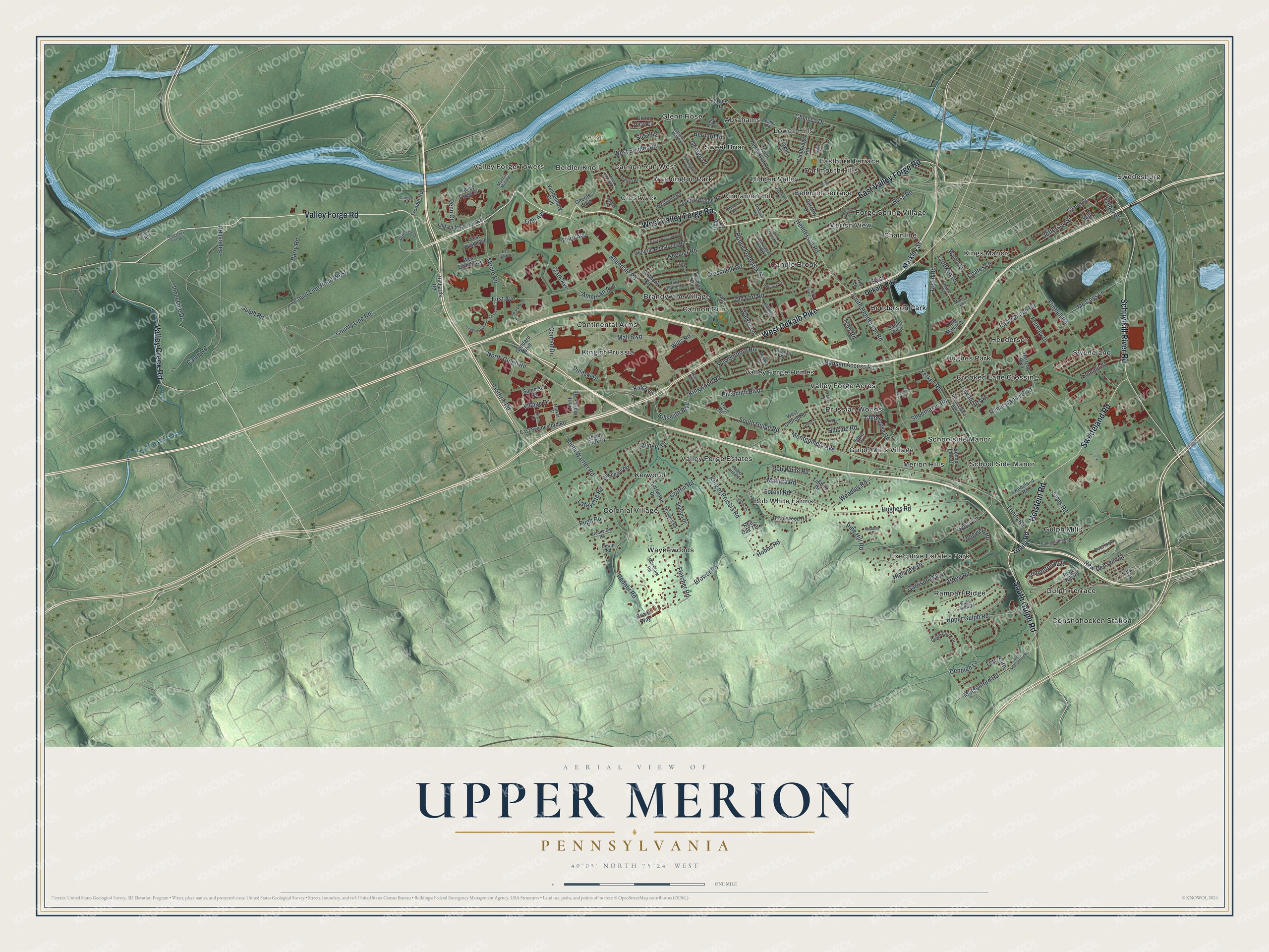
Created by KNOWOL in 2026, the print shows Upper Merion from above, with soft green shaded hills, a blue river along the top and red building shapes packed around King of Prussia. The cream title panel reads AERIAL VIEW OF, UPPER MERION, PENNSYLVANIA, with the coordinates 40°05' NORTH 75°24' WEST.
It fits a living room, a home office or a hallway where family photos hang. It's a good gift for someone who grew up near Henderson Park, or who has moved away and misses the streets around Gulph Mills. Open the preview and find your street. See sizes and frames for the Upper Merion map.