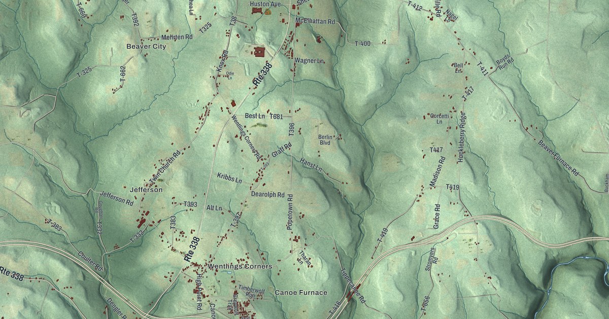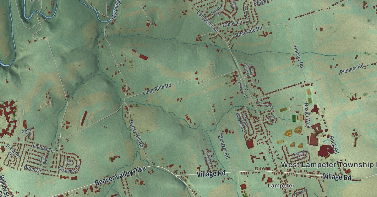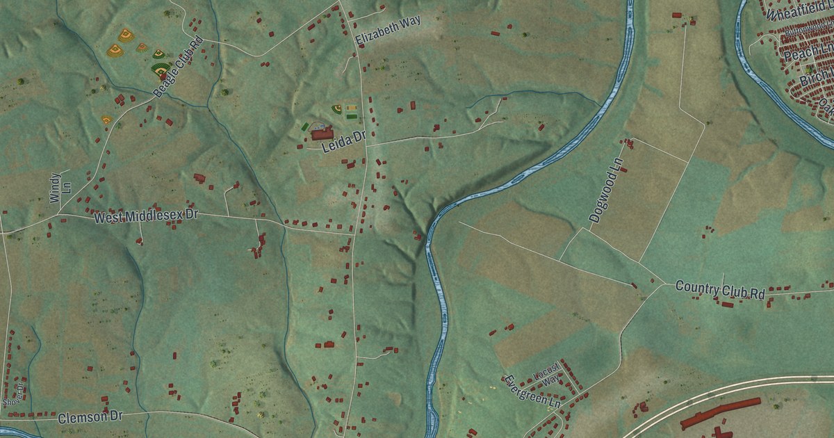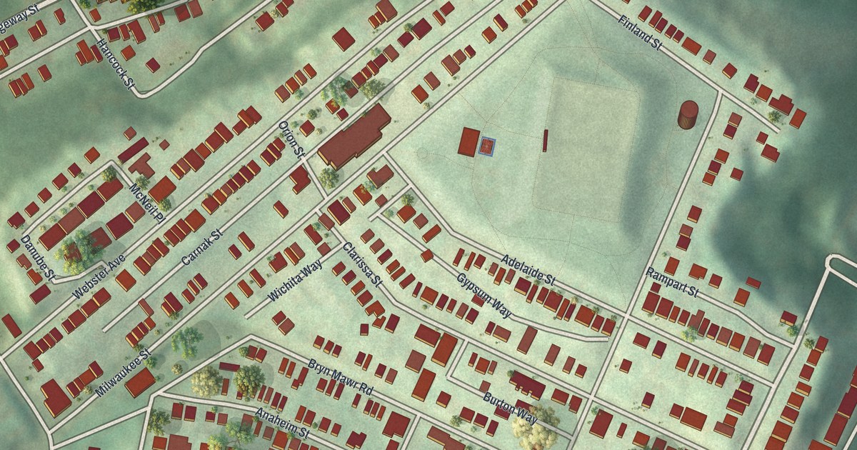
If you grew up in Upper Hill, these street names may bring your own block to mind. This modern aerial view shows Upper Hill in Allegheny County, Pennsylvania, using modern data with a vintage feel. Red buildings line the slopes, with green ground between the rows. Schenley Heights is named on the map, right among the closely packed streets.
Schenley Heights and the Streets Around Home
On this map you'll find Schenley Heights, Bigelow Boulevard, Herron Avenue, Webster Avenue, Bryn Mawr Road, Milwaukee Street, Orion Street, Iowa Street, Clarissa Street, Cherokee Street, Ewart Drive, and more. Each red shape is a building, so zoom in on the preview and look for yours.
Madison Elementary School stands at Milwaukee and Orion Streets, and the National Register of Historic Places lists it. The National Register lists Madison Elementary School at those two streets. The school joined the list in September 1986. Both streets are printed on this map, so you can find the school's corner yourself.
An Upper Hill Map for Your Wall
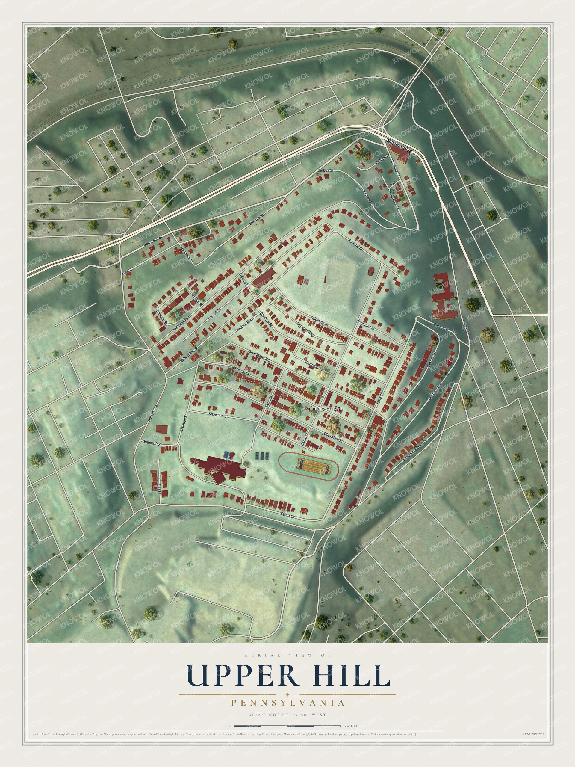
Created by KNOWOL in 2026, the print pairs green hills with red buildings and pale street lines. A cream border surrounds the view. The title panel reads AERIAL VIEW OF, UPPER HILL, PENNSYLVANIA, with 40°27' NORTH 79°58' WEST below.
It's a good fit for a living room, hallway or home office. Give it to someone with family in Schenley Heights, or keep your own neighborhood close. See sizes and frames for the Upper Hill map.