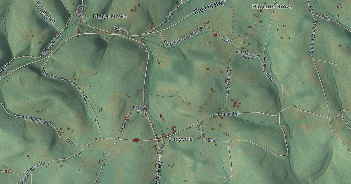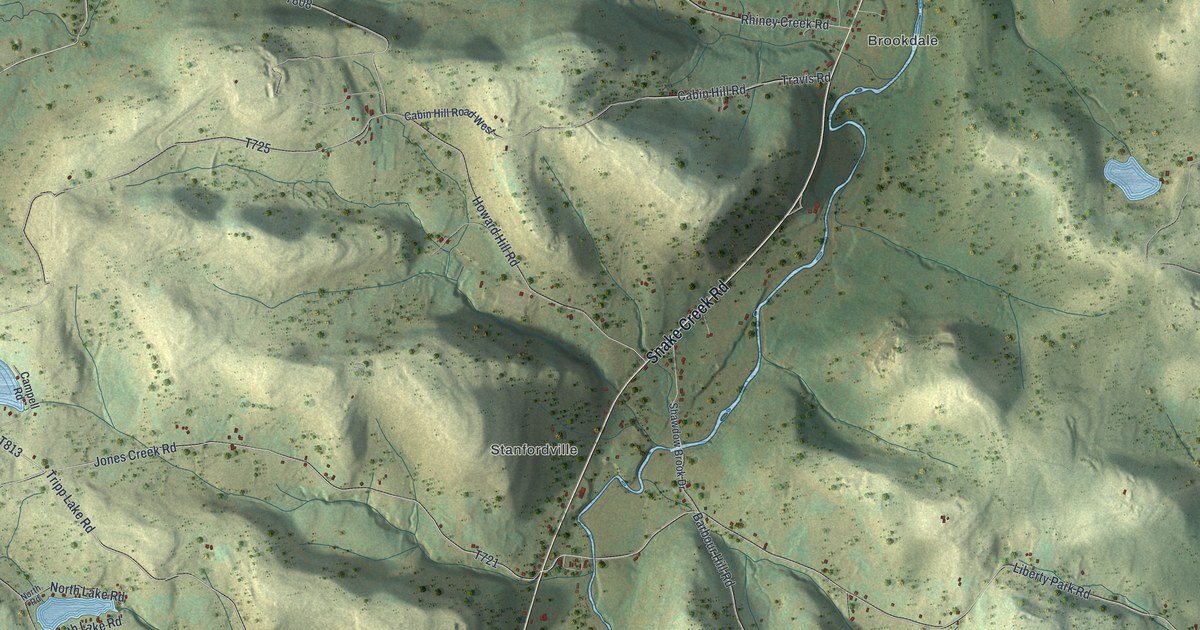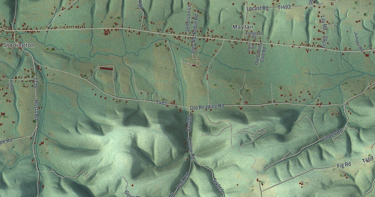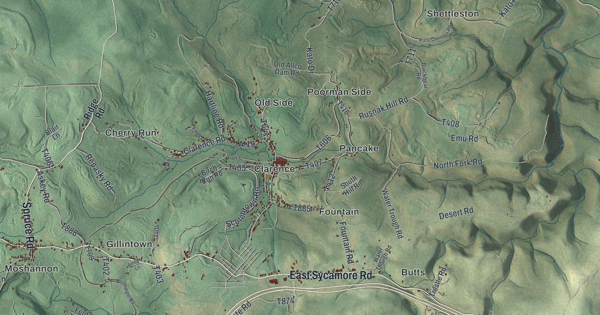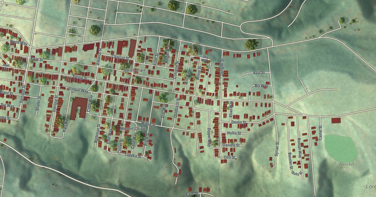
This beautifully detailed map of Arlington, Pennsylvania was created in 2026 using aerial imagery combined with modern topographical, census, street and landmark data. It’s a one-of-a-kind view of Arlington that combines accurate data with a vintage aesthetic. The map shows every building in its true location, many of the roads carry their names, and the shaded topographic relief shows the shape of the land.
Explore an aerial view of Arlington, Pennsylvania
On the map you’ll find Devlin Field, Loretto Cemetery, Saint Peters Cemetery, Mount Olive, and Saint Clair, along with Emil Way, Fernleaf Street, Arlington Avenue, Spring Street, Elsie Street, Becks Run Road, Jonquil Street, and more. If you look closely you can even find your house accurately drawn in its correct location. Zoom in on the preview to look for yours.
Take a closer look at the Arlington map
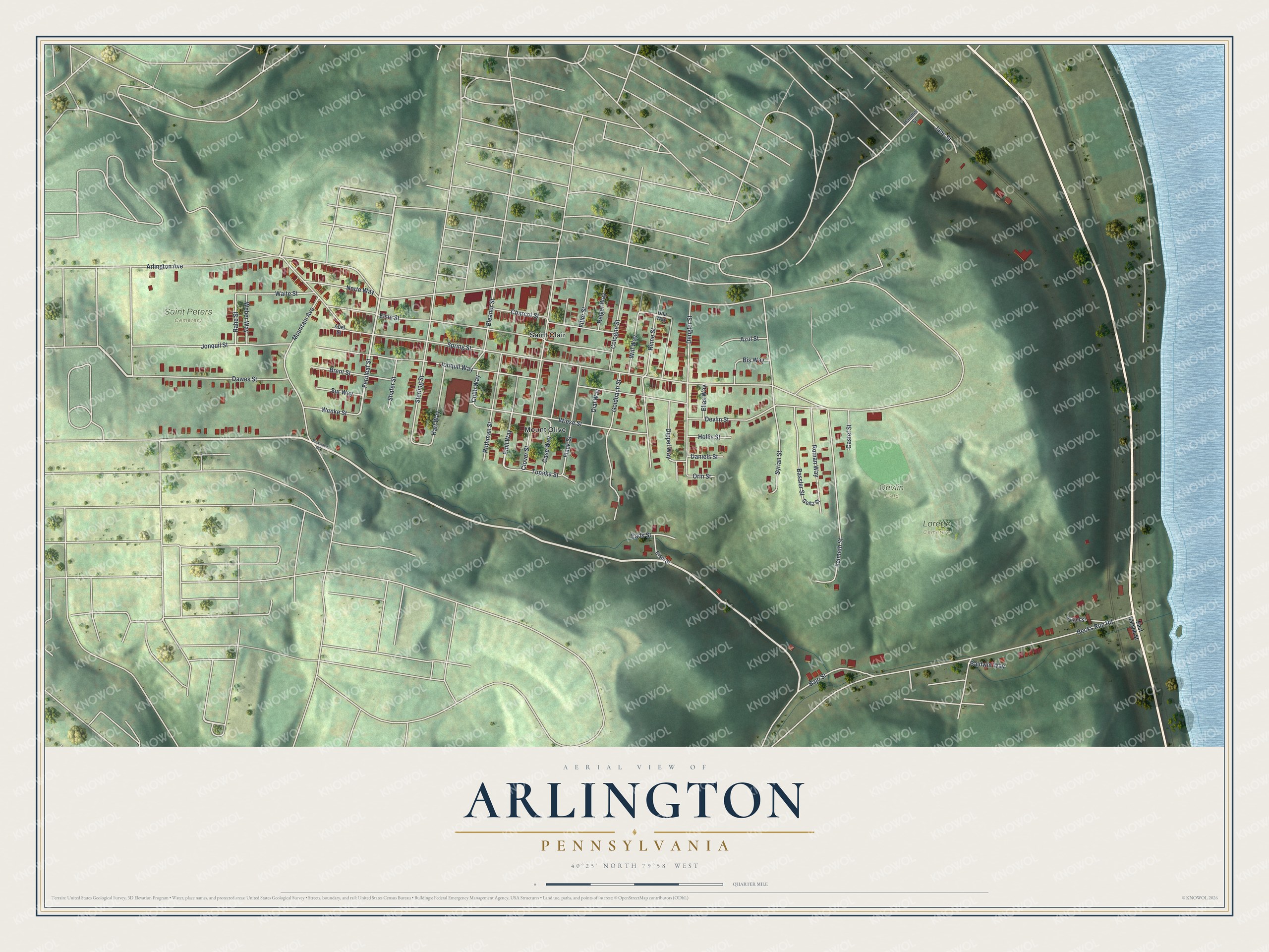
Street and place names on the Arlington, Pennsylvania map
These names are printed on the map of Arlington, Pennsylvania.
Places: Devlin Field, Loretto Cemetery, Saint Peters Cemetery, Mount Olive and Saint Clair.
Streets and roads: Emil Way, Fernleaf Street, Arlington Avenue, Spring Street, Elsie Street, Becks Run Road, Jonquil Street, Jonquil Way, Devlin Street, Clover Street, Felmeth Street, Wiese Street.
More street names, A to Z
Abel Street, Azul Street, Bajo Street, Baldwin Way, Bassler Street, Bis Way, Brent Street, Case Way, Castel Street, Charcot Street, Cobb Way, Cologne Street, Daniels Street, Dawes Street, Dengler Street, Dial Way, Dippel Way, Eads Street, East Carson Street, Eisel Street, Eleanor Street, Elias Way, Fagel Street, Fitler Street, Flack Street, Goldbach Street, Goltz Street, Handler Street, Hart Way, Hollis Street, Jane Street, Mountain Avenue, Norte Way, Orin Street, Parkwood Road, Rahe Street, Reiger Way, Rinne Street, Roman Way, Rothman Street, Shafer Street, Sterling Street, Sur Way, Syrian Street, Topeka Street, Una Way, Waite Street, Weber Way, Wenke Street, Will Way.
See the Arlington, Pennsylvania map on a wall
The Arlington map as an 18 x 24 inch print in a black frame.

This beautifully detailed map of Arlington makes an attractive addition to your office, library, or den, and it can even be used to teach children the geography and history of the area. It also makes a great gift for anyone with Arlington roots. When you’re done exploring, click here to get your copy of the Arlington map.