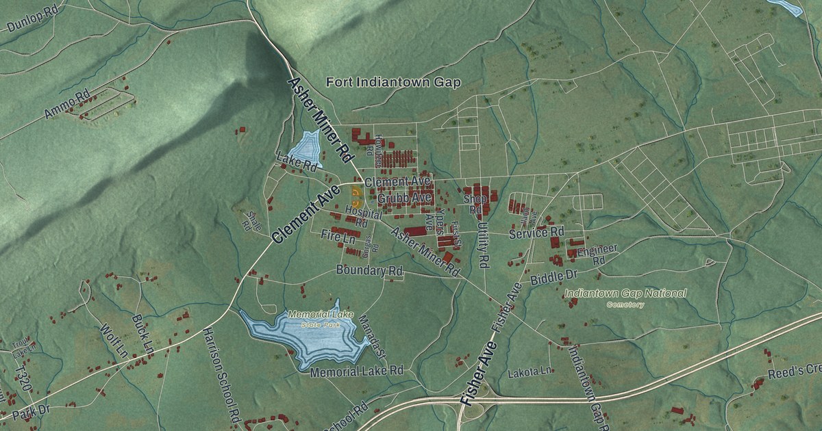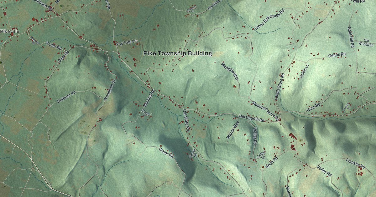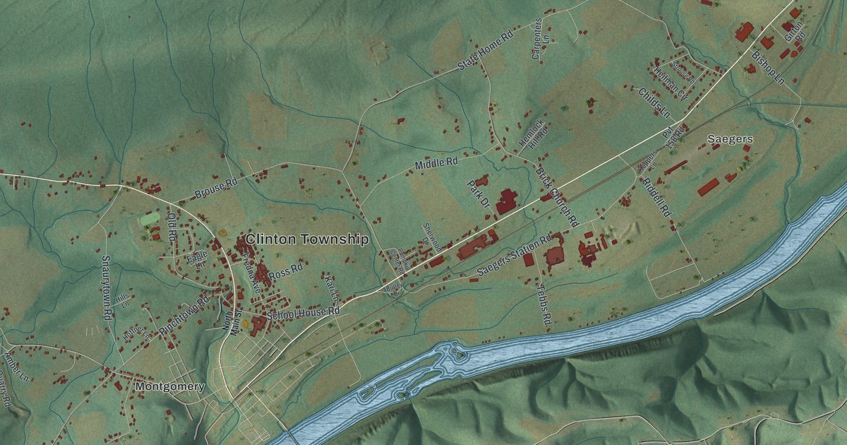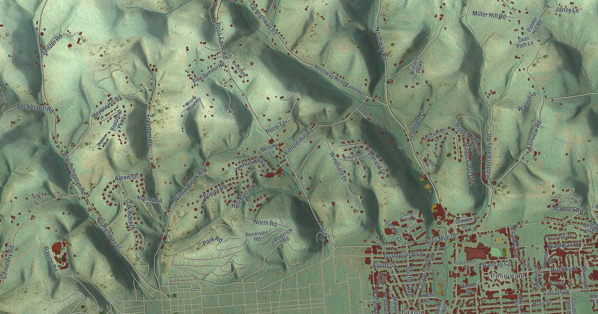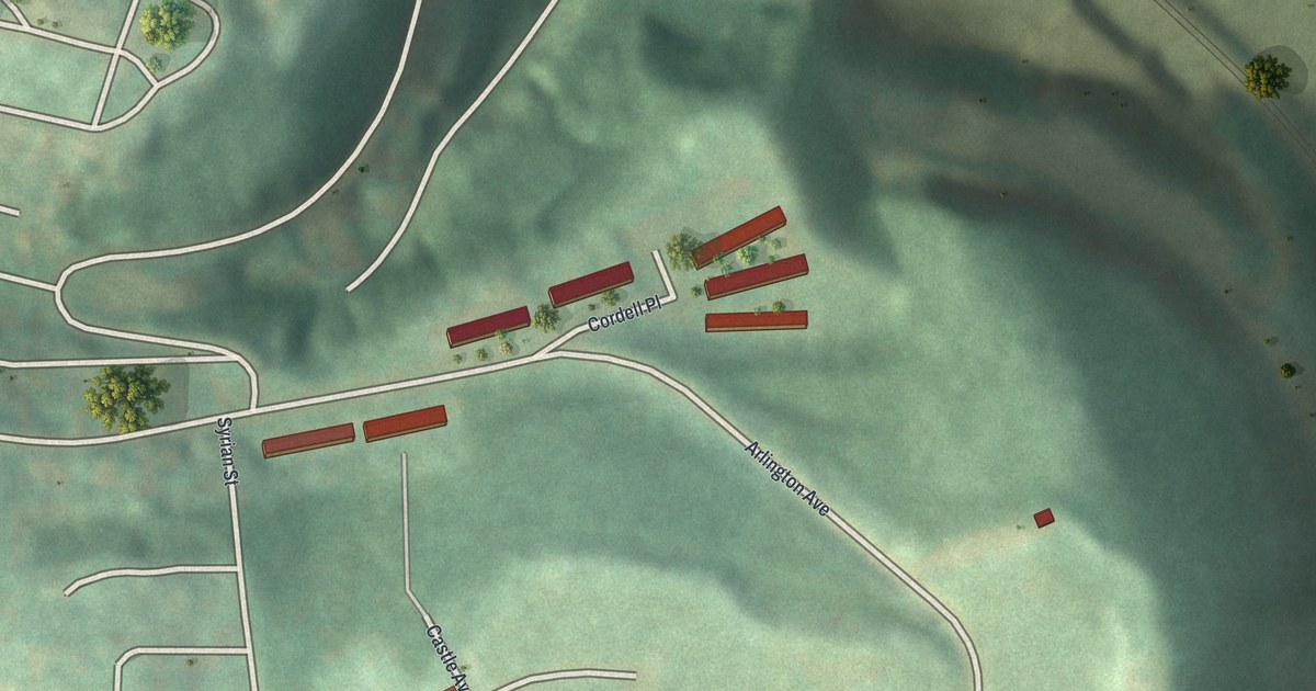
If you grew up on Arlington Avenue or still have family on Devlin Street, this map was made with you in mind. It's a modern aerial view of Arlington Heights in Allegheny County, Pennsylvania, built from modern data and given a vintage look. You'll see the steep green hills, the short streets on the hilltop, rows of red buildings, and a wide blue river along the right side.
Arlington Avenue and the streets on the hill
On this map you'll find Arlington Avenue, Cordell Place, Syrian Street, Zaruba Street, Castle Avenue, Spring Street, Devlin Street, Handler Street, and more. Each red shape is a building, so zoom in on the preview and look for yours.
Arlington Heights sits high on a hill. The shading on the map shows how steep the land is. Deep folds drop down toward the river. Rail lines and a long road run beside the water at the foot of the slope. Up top, Arlington Avenue curves around the hill, and Devlin Street crosses it. Red buildings line Arlington Avenue and Cordell Place. In the upper left, a thick web of streets covers the next hills over.
Arlington Heights and the Allegheny County story
Arlington Heights is part of Allegheny County. A state marker from the Pennsylvania Historical and Museum Commission tells the county's story. The county was formed on September 24, 1788, out of Westmoreland and Washington counties. It was named for the Allegheny River. Its county seat, Pittsburgh, was laid out in 1764 and became a city in 1816. The marker calls the county a center of iron and steel and the "Workshop of the World."
Keep Arlington Heights close
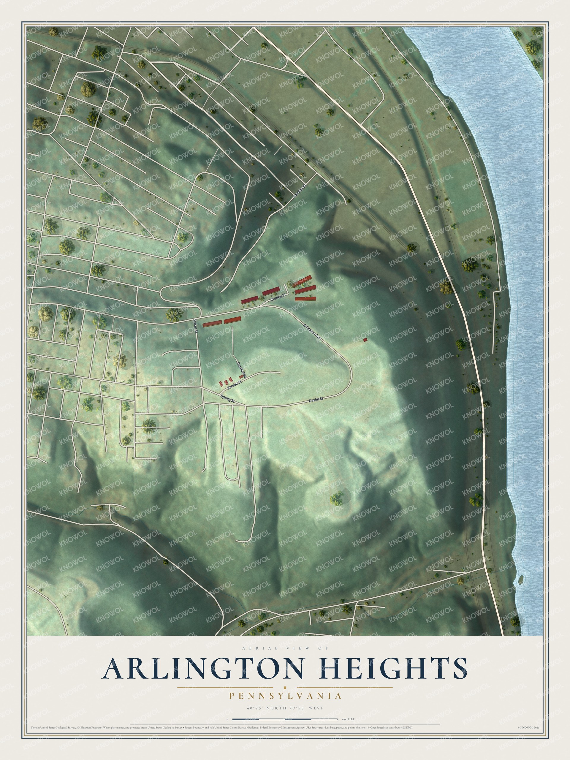
Created by KNOWOL in 2026, this print shows Arlington Heights from above in soft greens, with shaded hills, pale streets, red buildings and a blue river. The title panel reads "Aerial view of Arlington Heights, Pennsylvania" with the coordinates 40°25' North 79°58' West.
It fits a hallway, a living room or a home office. It's a good gift for someone who grew up on Arlington Avenue and moved away, or for family still living on Devlin Street. Open the preview and find your street. See sizes and frames for the Arlington Heights map.