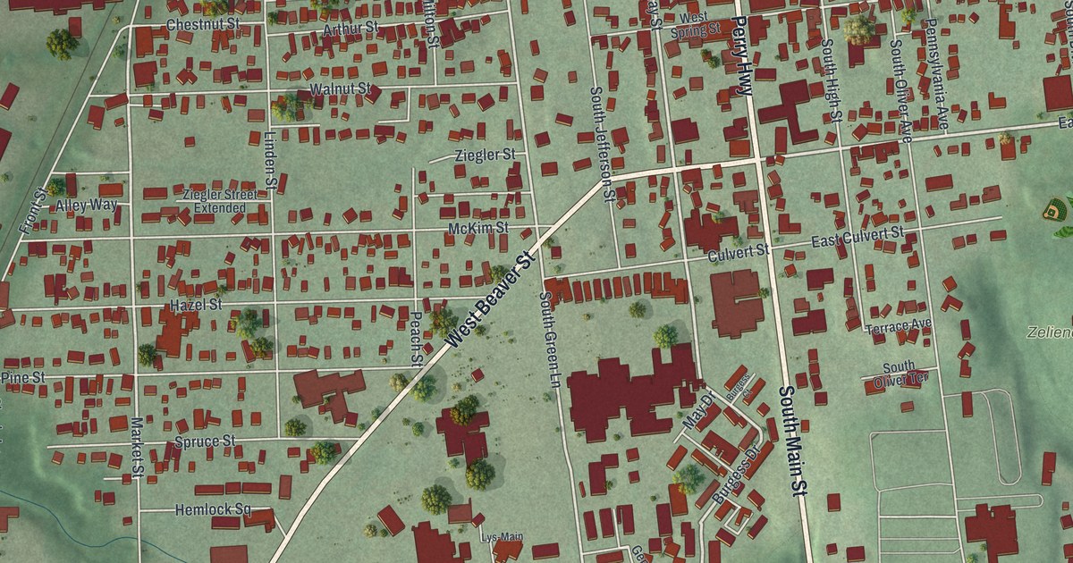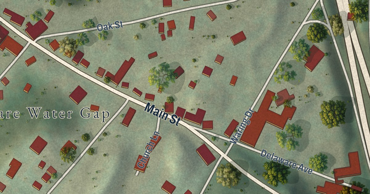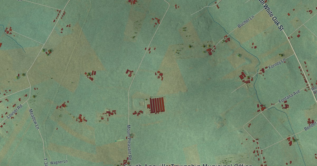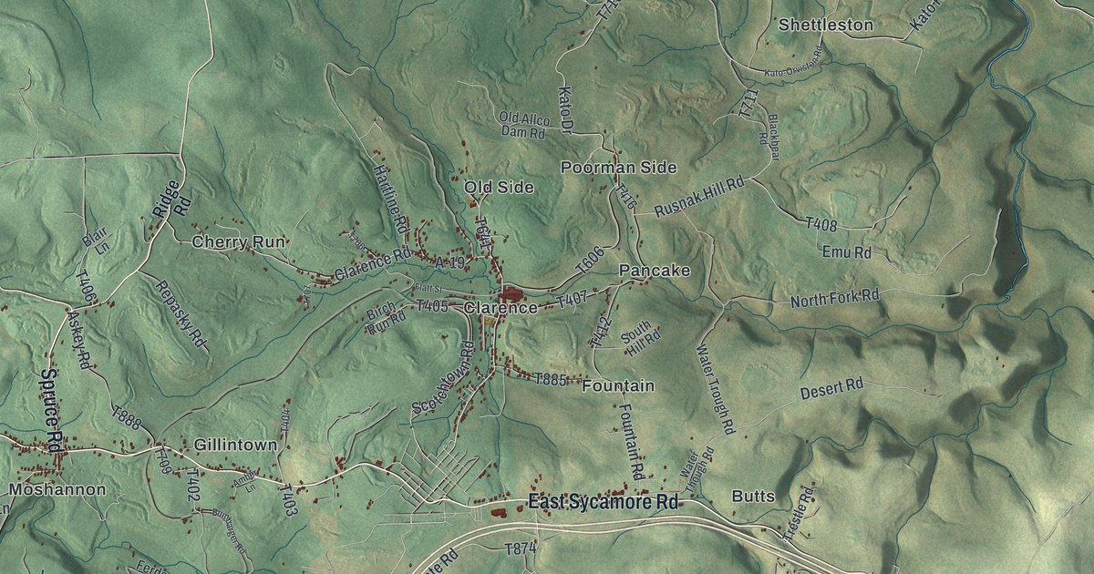
This beautifully detailed map of Snow Shoe Township, Pennsylvania was created in 2026 using aerial imagery combined with modern topographical, census, street and landmark data. It’s a one-of-a-kind view of Snow Shoe Township that combines accurate data with a vintage aesthetic. The map shows every building in its true location, many of the roads carry their names, and the shaded topographic relief shows the shape of the land.
Explore an aerial view of Snow Shoe Township, Pennsylvania
On the map you’ll find Sproul State Forest, Butts, Cherry Run, Clarence, Fountain, Gillintown, Gorton, Kato, Moshannon, Musellmans Crossing, Old Side, Pancake, and more. If you look closely you can even find your house accurately drawn in its correct location. Zoom in on the preview to look for yours.
Did you know this piece of Snow Shoe Township, Pennsylvania history?
Coal mining in the township moved slowly until the Bellefonte and Snow Shoe Railroad was finished in 1859. Traffic boomed at once, people poured in, and the village of Snow Shoe was born. John Sommerville came back that year as the mining contractor, starting with ten miners. By 1862 about a hundred men dug six to seven thousand tons a month. That’s from the 1883 History of Centre and Clinton Counties, Pennsylvania.
Take a closer look at the Snow Shoe Township map
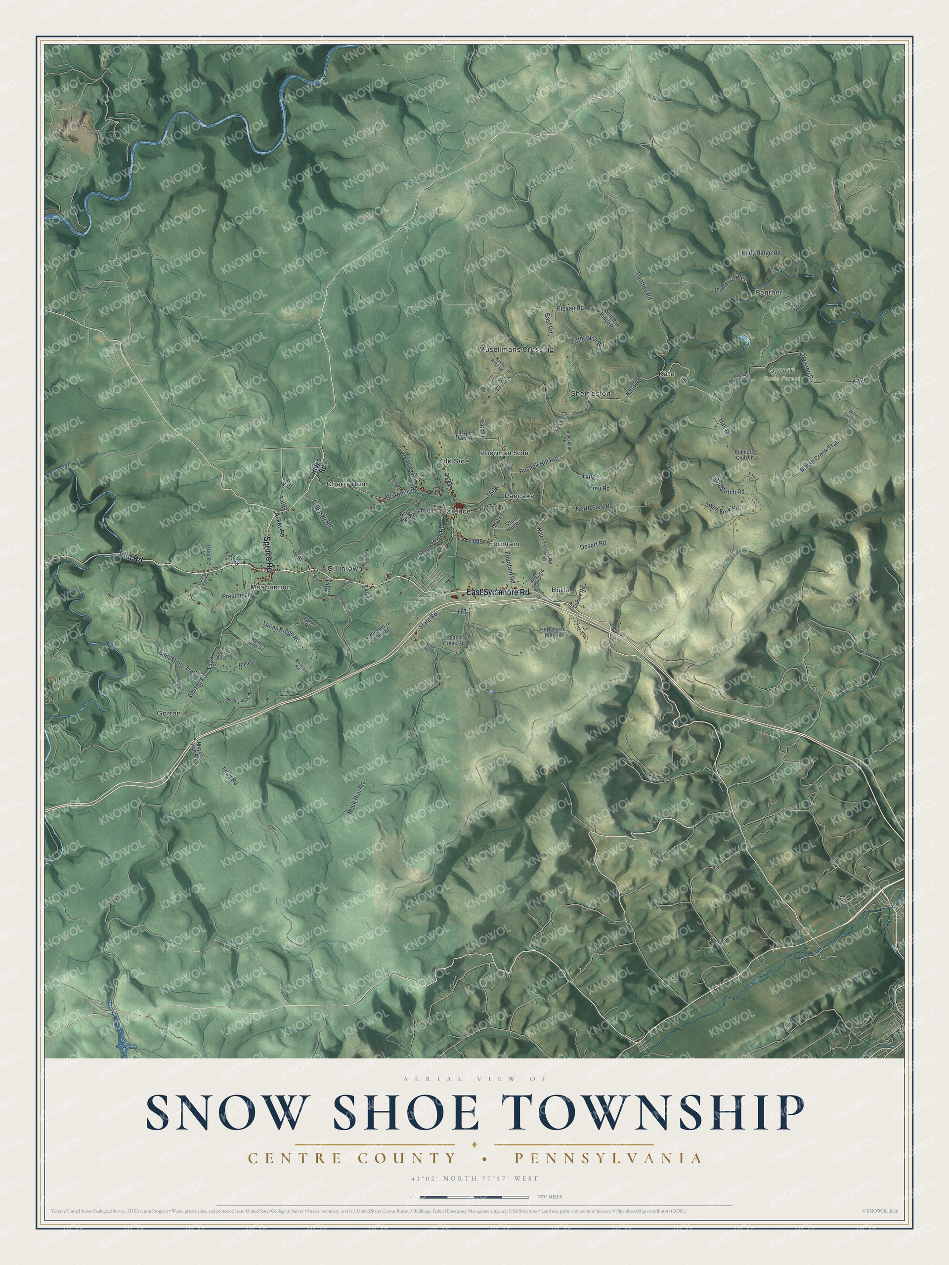
Street and place names on the Snow Shoe Township, Pennsylvania map
These names are printed on the map of Snow Shoe Township, Pennsylvania.
Places: Sproul State Forest, Gorton, Butts, Moshannon, Musellmans Crossing, Poorman Side, Cherry Run, Kato, Panther, Clarence, Old Side, Shettleston, Pancake, Gillintown and Fountain.
Streets and roads: Spruce Road, Elm Road, East Sycamore Road, Clarence Road, Orviston Road, Kato Road, Hall Road, Scotchtown Road, Rock Run Road, Gorton Road, Sandstone Trail, Marsh Creek Trail.
More street names, A to Z
A-19, Amber Lane, Askey Road, Birch Run Road, Blackbear Road, Blair Lane, Buck Lane, Bumbarger Road, Clubhouse Road, Crown Royal Camp Lane, Desert Road, Doe Patch Road, East Road, Eddy Ridge Road, Eleven Road, Emu Road, Ferds Road, Fillmore Club Lane, Flatt Street, Fountain Road, Grouse Lane, Hartline Road, Hicklen Ridge Road, Horsehead Run Road, Hunter Ridge Road, Kato-Orviston Road, Kato Drive, Kato Orviston Road, Laurel Lane, Limestone Lane, Little Wolf Road, Logway Run Trail, Lucas Ridge Road, Meyers Run Road, Million Dollar Lane, North Fork Road, Norton Ridge Road, Old Allco Dam Road, Panther Road, Peach Creek Road, Preston Lane, Quarry Road, Repasky Road, Ridge Road, Rusnak Hill Road, Snow Shoe Road, South Fork Road, South Hill Road, State Road, Tram Road, Trestle Road, Turkey Eye Lane, Turkey Ridge Road, Water Though Road, Water Trough Road, Wolf Run Ridge Road.
See the Snow Shoe Township, Pennsylvania map on a wall
The Snow Shoe Township, Centre County map as an 18 x 24 inch print in a black frame.

This beautifully detailed map of Snow Shoe, Centre County makes an attractive addition to your office, library, or den, and it can even be used to teach children the geography and history of the area. It also makes a great gift for anyone with Snow Shoe Township roots. When you’re done exploring, click here to get your copy of the Snow Shoe, Centre County map.